19.1 miles, point-to-point
We had underestimated this hike, both in its distance (which on a quick cursory trace of a Google Map led me to believe it was about 16.5 miles) and in its interesting landmarks. Both Dad and Uncle John had done this hike once before, but it had been about five years and they couldn't remember many of the details. Turns out there would be plenty of worthwhile points of interest in what would actually be just over 19 miles of trail.
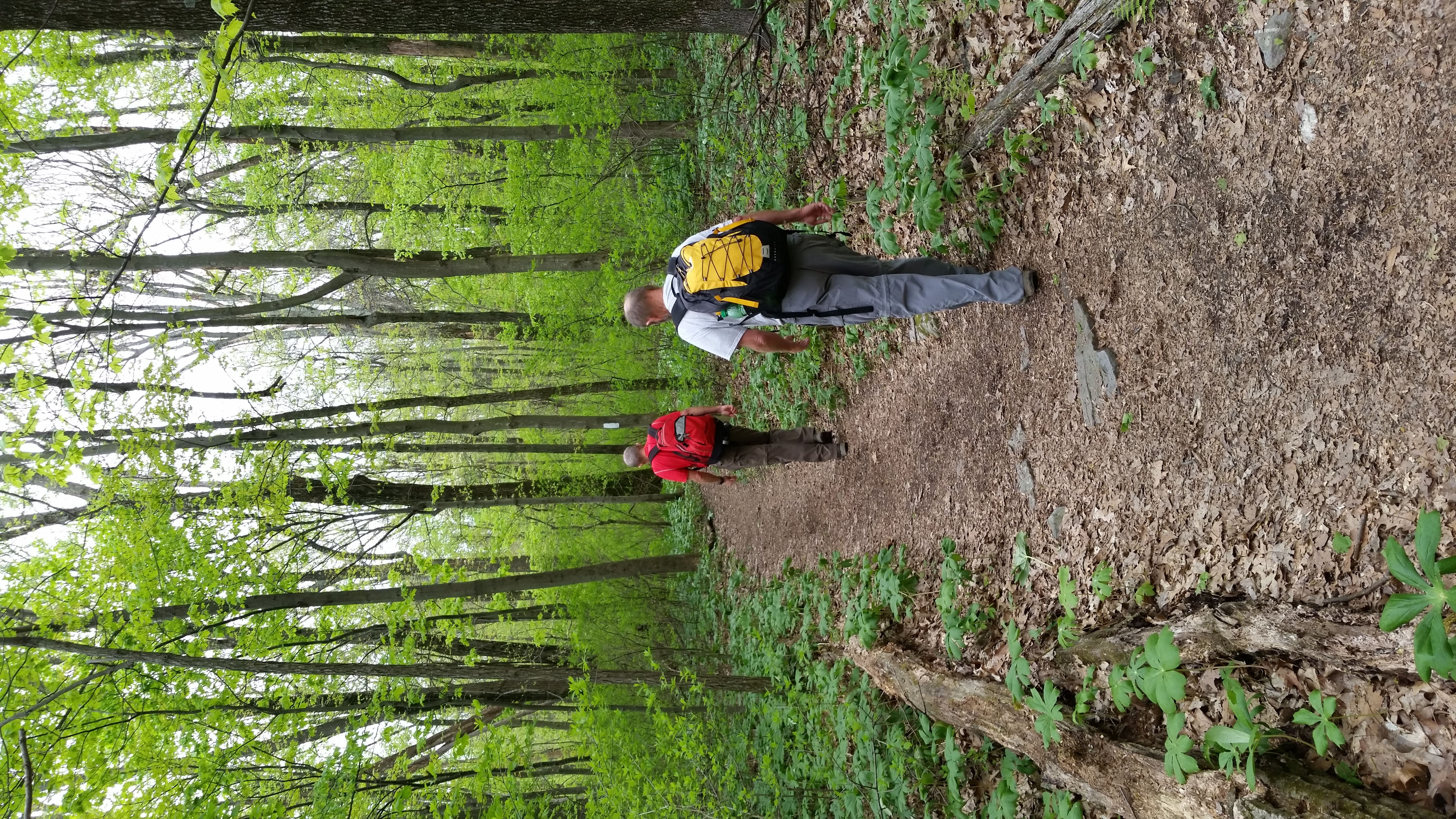
After leaving the parking lot along Route 40, we got onto a foot bridge crossing the busy Interstate 70. Then we followed the footpath through a small residential neighborhood, another busy side road, and finally we were in the woods.
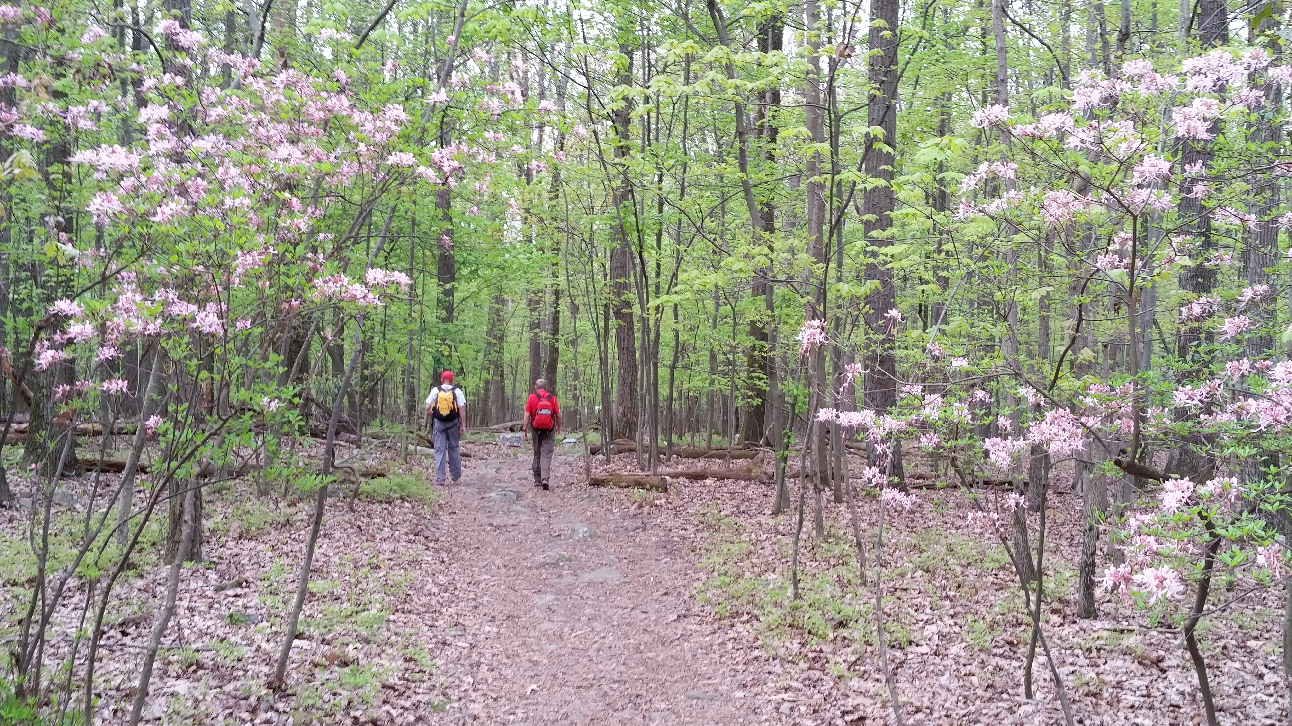
There were squirrels all over the place, especially in the first couple miles of woods, and my dog Hunter had a blast chasing them.
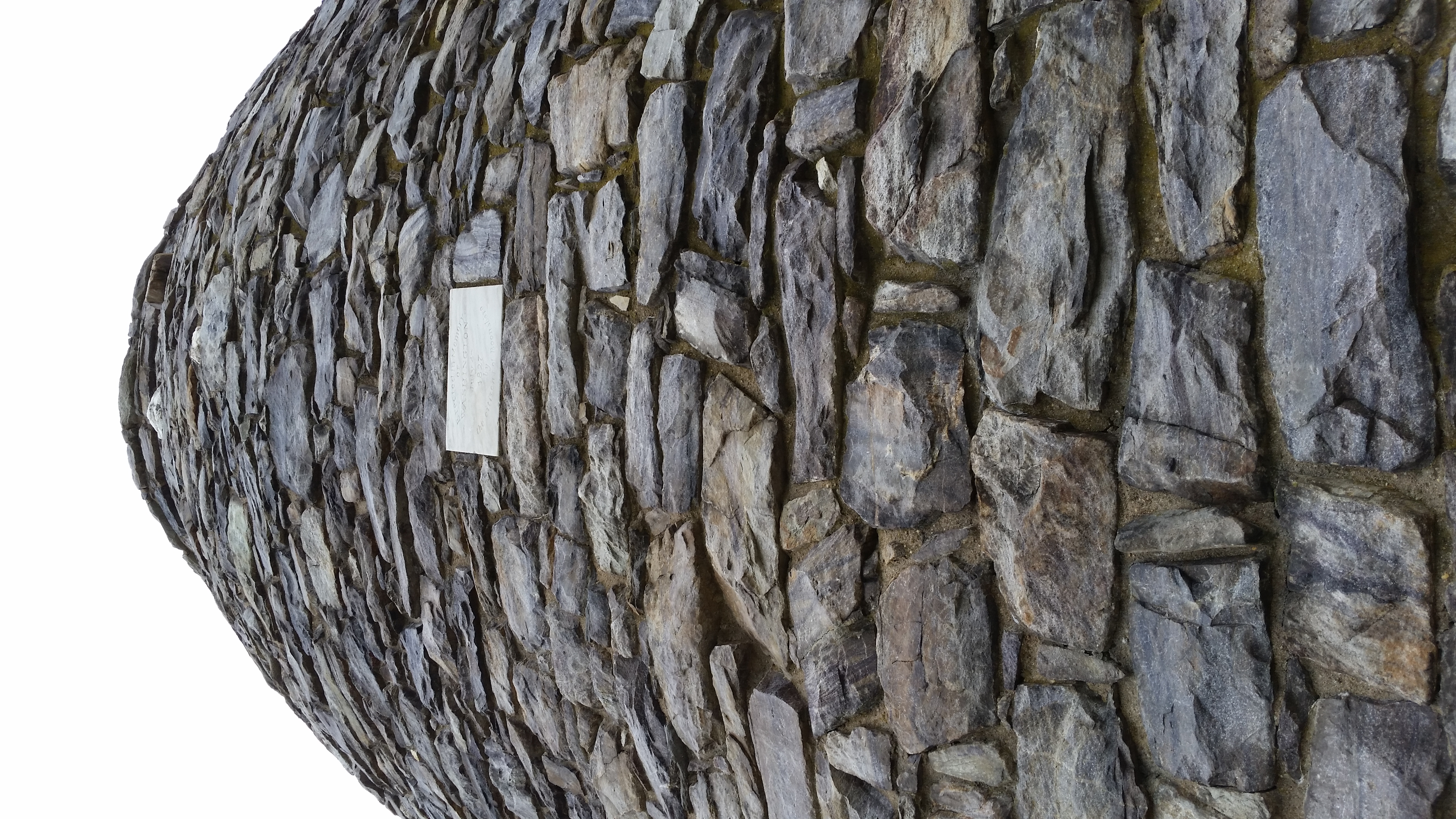
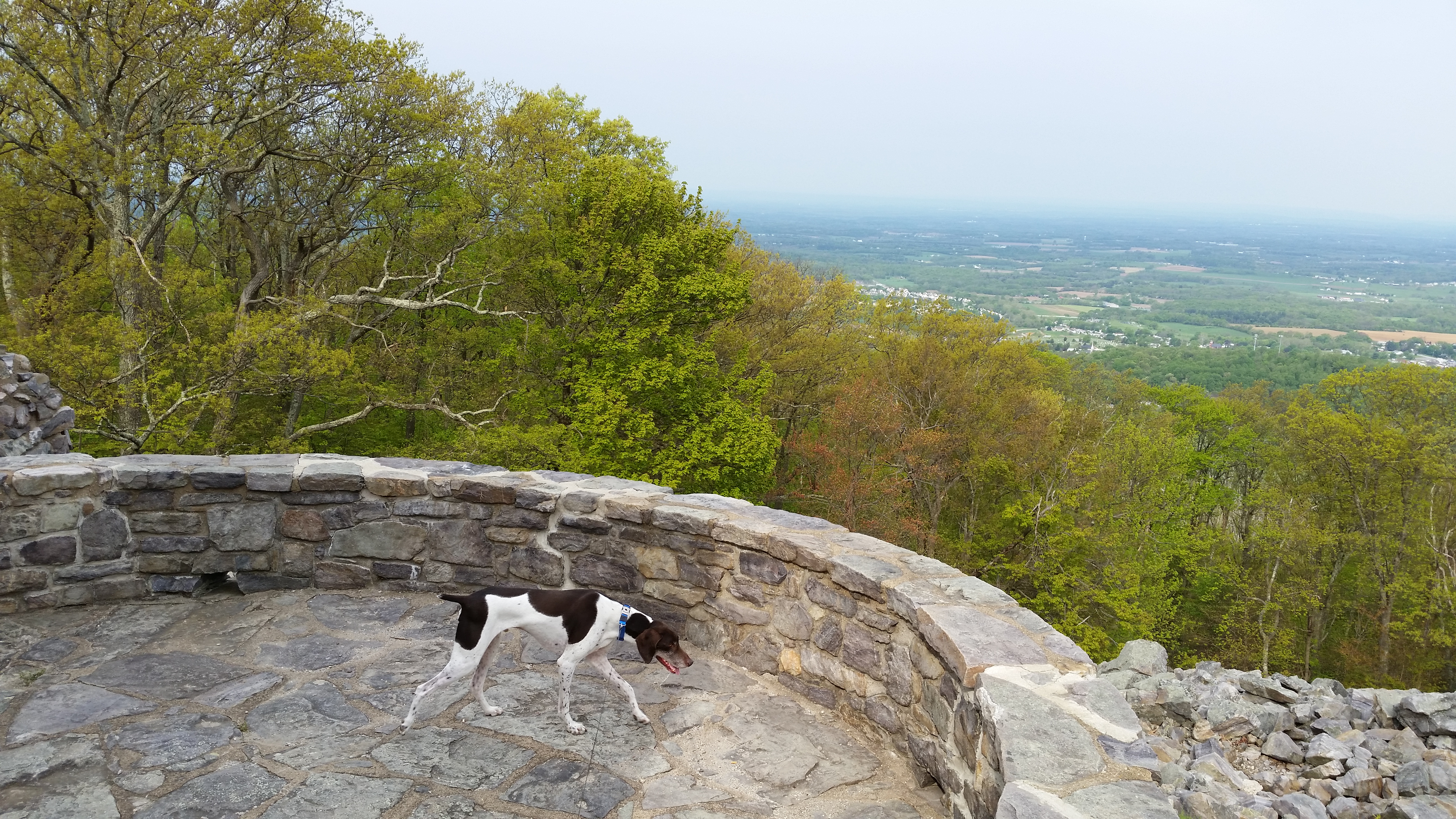
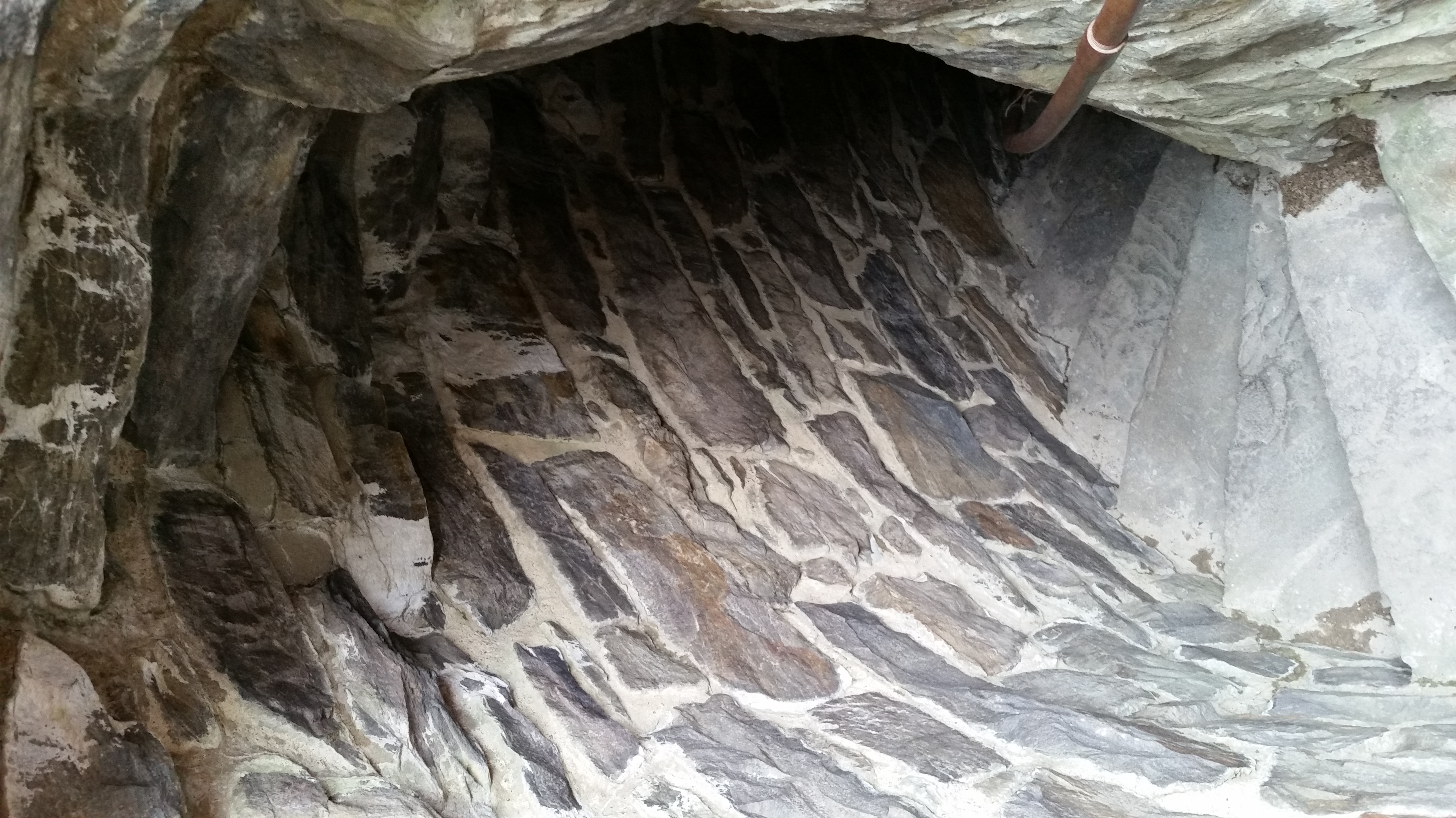
Crossing over Bartman Hill, we then arrived at the short climb up to the pinnacle of Monument Knob. This is so named for the original Washington Monument, an impressive stone tower originally built in 1827 overlooking the town of Boonsboro and the valley beyond. We made the short detour from the trail to climb the spiral lighthouse-like staircase to the top to enjoy the unique view. A couple of other hikers were there, the first of 31 hikers we would encounter along today's stretch of trail.
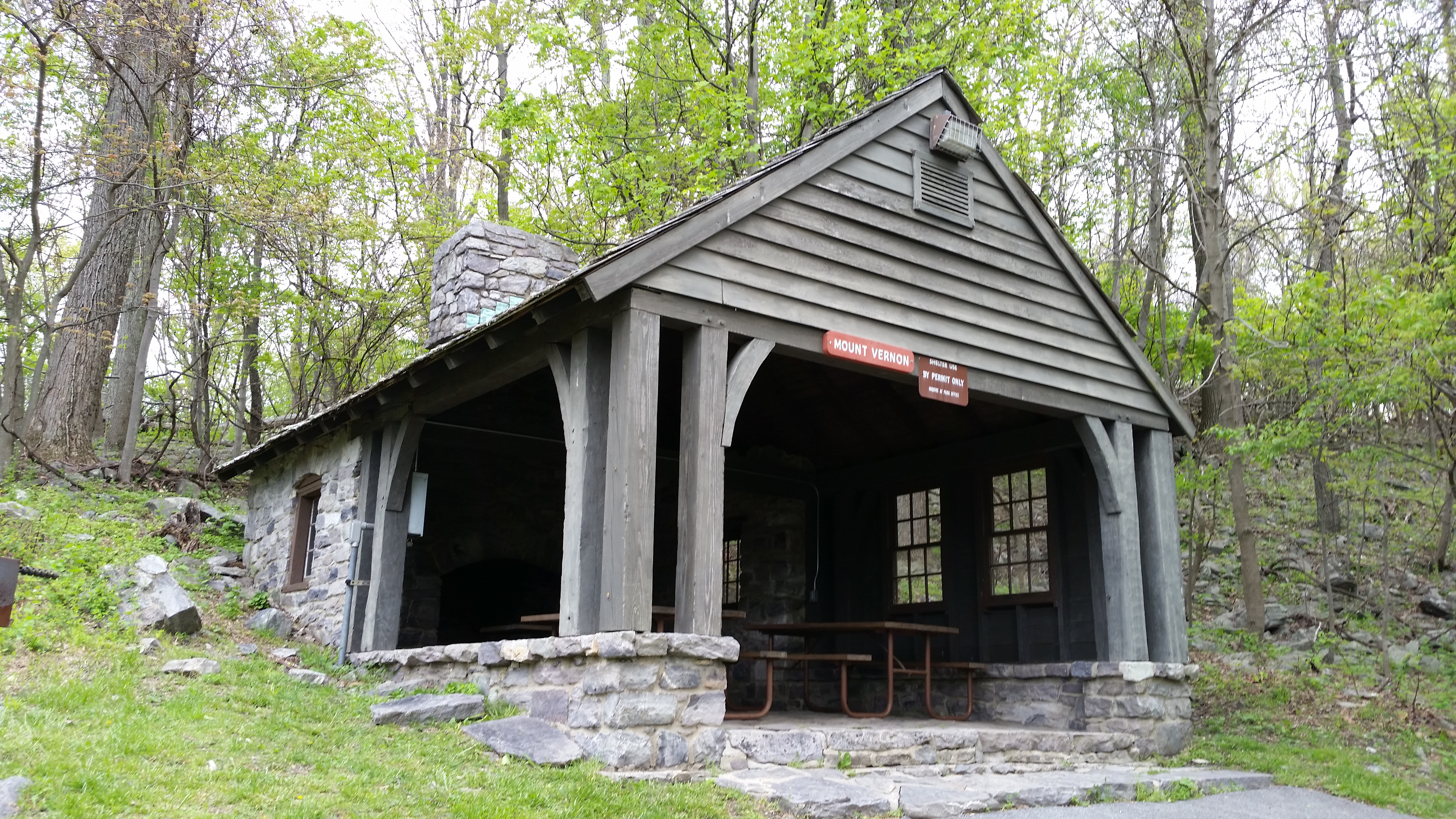
From there the trail followed a gravel road and wound through Washington Monument State Park, passing by the elegant "Mount Vernon Shelter" and a number of parking lots. Then we were back in the woods for a while.
At Turners Gap we crossed a grass field while passing a beautiful old stone church, another stone structure highlight of the day.
We took a break at the juncture with a side trail leading to the Rocky Run Shelter. It was a good place to stop, because from there it was a long steady climb from 940 feet in elevation to over 1700 ft. At our highest elevation of the day we passed the tall radio tower of Lambs Knoll, then continued south on the long, gradually descending ridge-line.
Around mile 10, as we were passing the White Rock Trail and a small overlook, rain started to fall. It became steady for a short time, then slacked off. Thankfully we never got soaked, just damp. The temperature was great today, staying right around 60 degrees with a consistently cloudy sky.
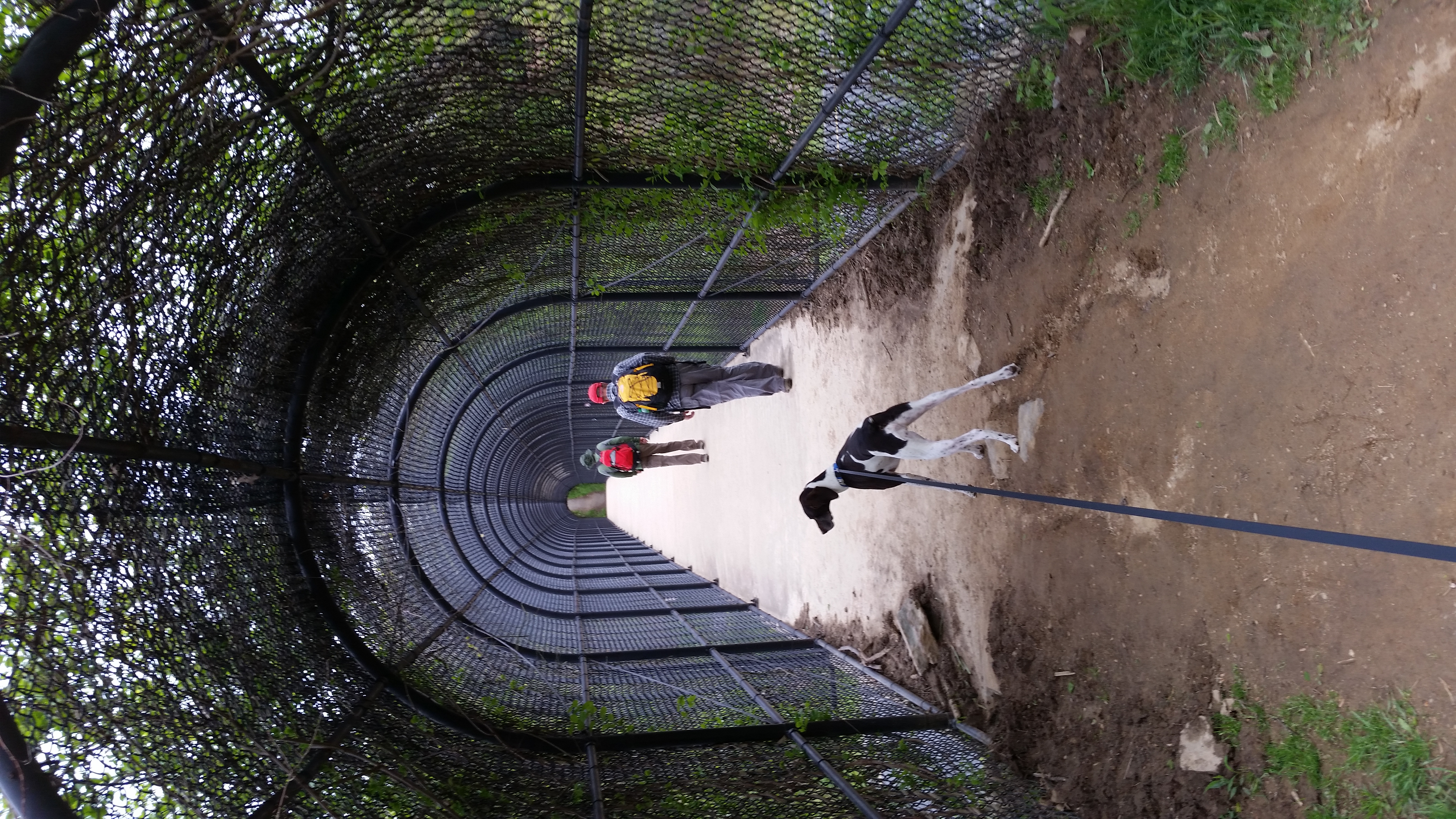
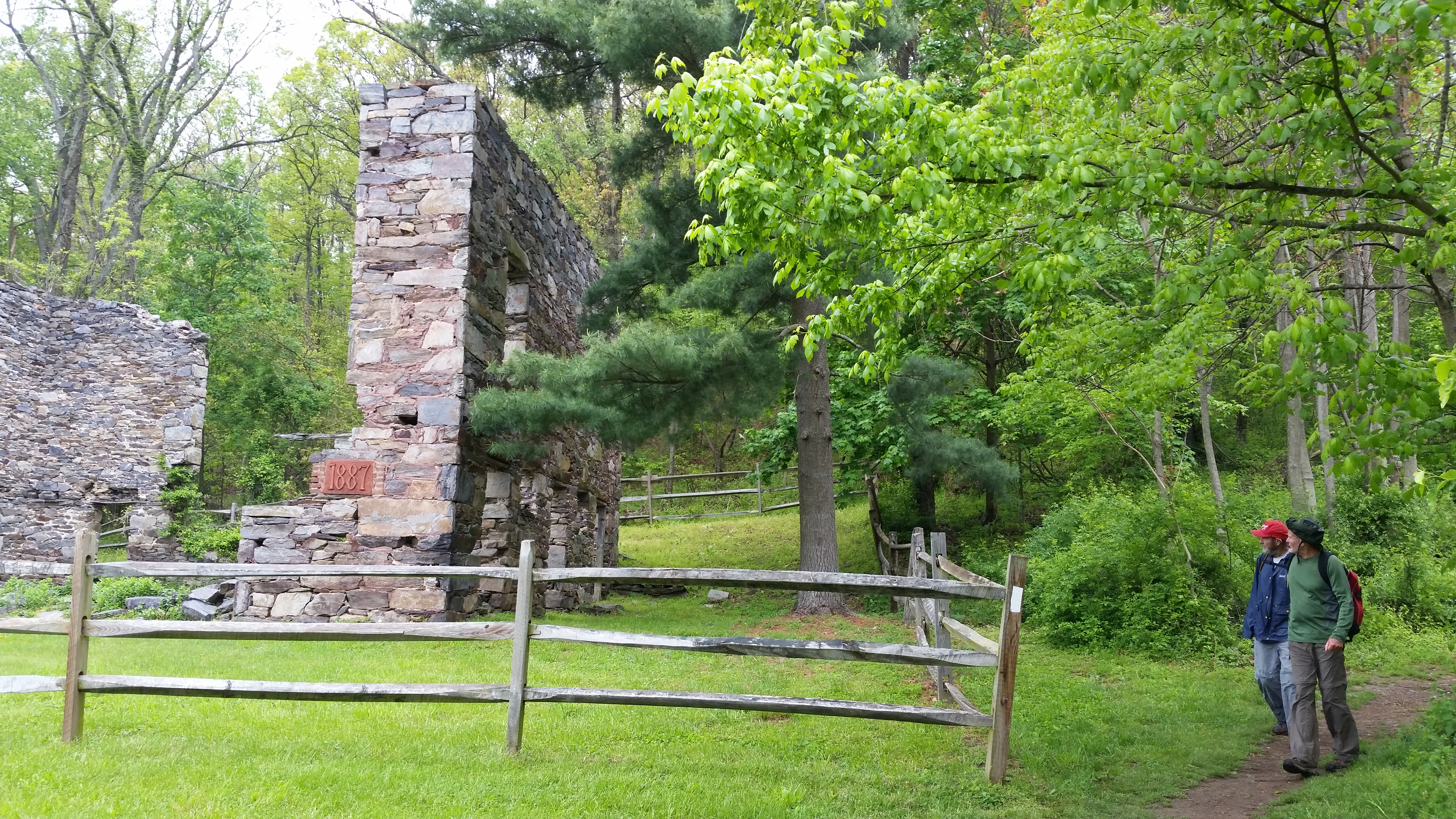
Then appeared more stone structures along our path. Leaving the woods once again we entered Gathland State Park at Crampton's Gap, which included a number of large stone buildings and even an arch.
From Maryland.gov: "Gathland State Park was once the mountain home of George Alfred Townsend, a Civil War journalist. In the late 1800's, Gathland featured a unique collection of buildings and structures designed and constructed by Townsend. Two of the structures, the Main Hall and Lodge, were partially restored in the 1950's. A large stone monument dedicated to the memory of Civil War correspondents is the outstanding attraction of this day-use park. The Appalachian National Scenic Trail traverses the park and passes the monument base."
Just off the A.T. is the War Correspondents Arch, a National historic monument. "Constructed in 1896, the monument stands fifty feet high and forty feet broad. The monument is administered and maintained by the National Park Service." I didn't get a picture of this as it was raining steadily as we passed by.
From there we had six more miles of ridge-top walking to the next highlight. About three miles into this stretch, the rain stopped completely, leaving wet rocks and lots of muddy sections along the trail.
Finally we made it to Weverton Cliffs. A side trail led us down to the rock outcropping, which provided a great view straight down to the Potomac River. We spent some time here, all alone, taking pictures and relaxing for a bit.
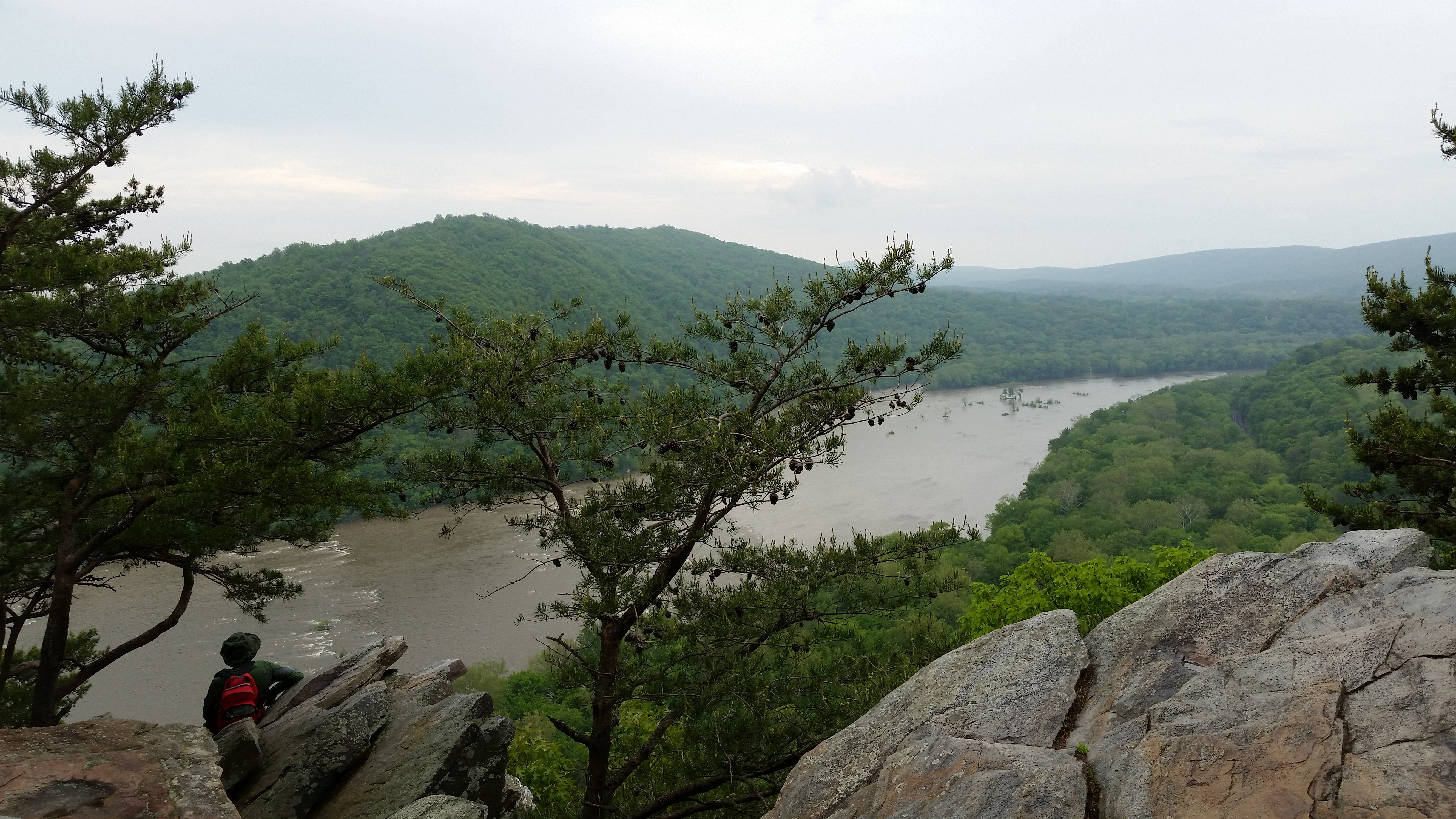
Weverton Cliffs
We had one more mile of steep switchbacks down to our parking spot at the Weverton trailhead. Besides all of today's highlights along the trail, we also passed two other shelters, the Crampton Gap Shelter (off a side-trail) and the Ed Garvey Shelter, which sat right on the ridge-top just off the A. T.