Big Schloss: 12.4 miles, 1,700 feet elevation gain
It's becoming clear to me that Virginia likes to undersell its best hikes by giving them names such as "Old Rag" and "Big Schloss," perhaps to keep the tourists (like me) away. Nothing to see here, move along...
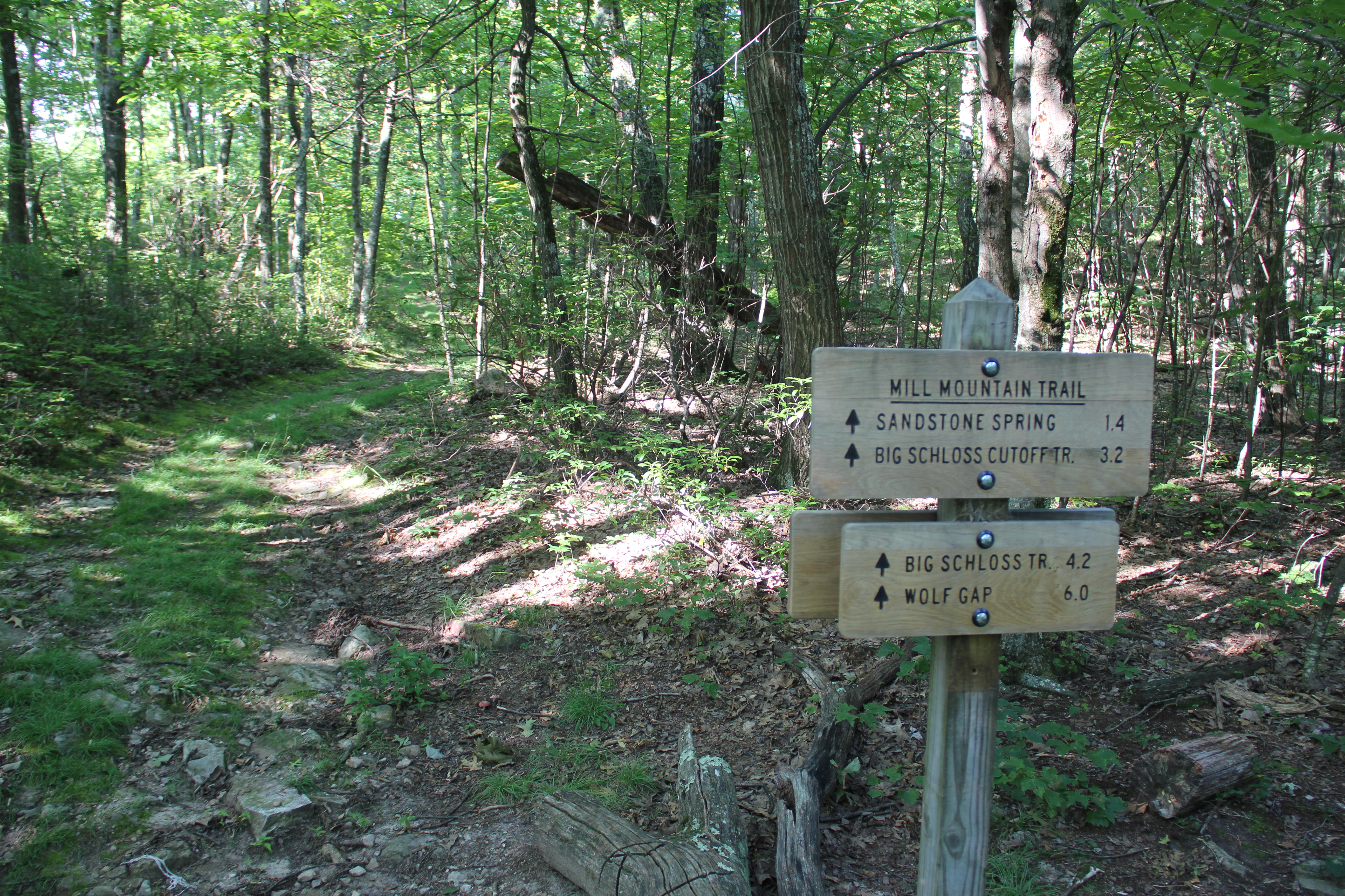
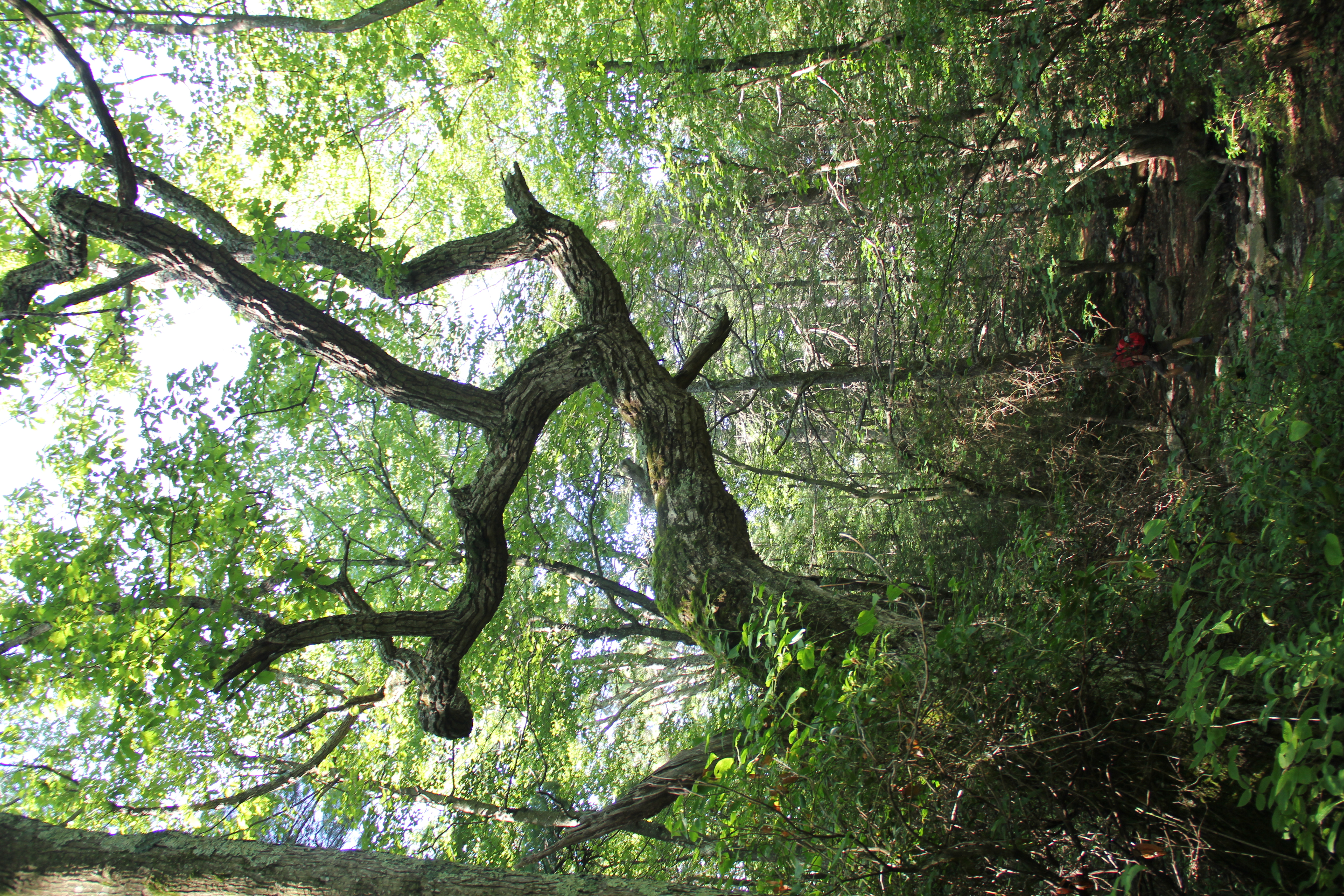
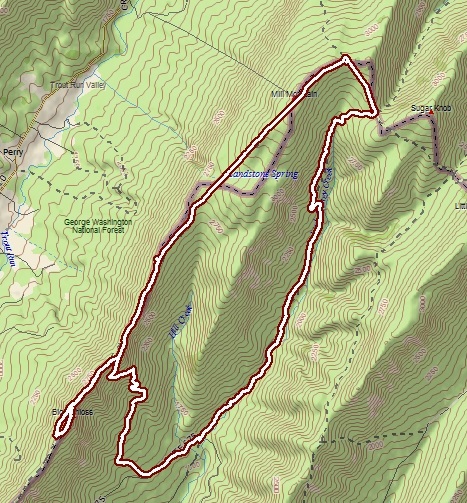
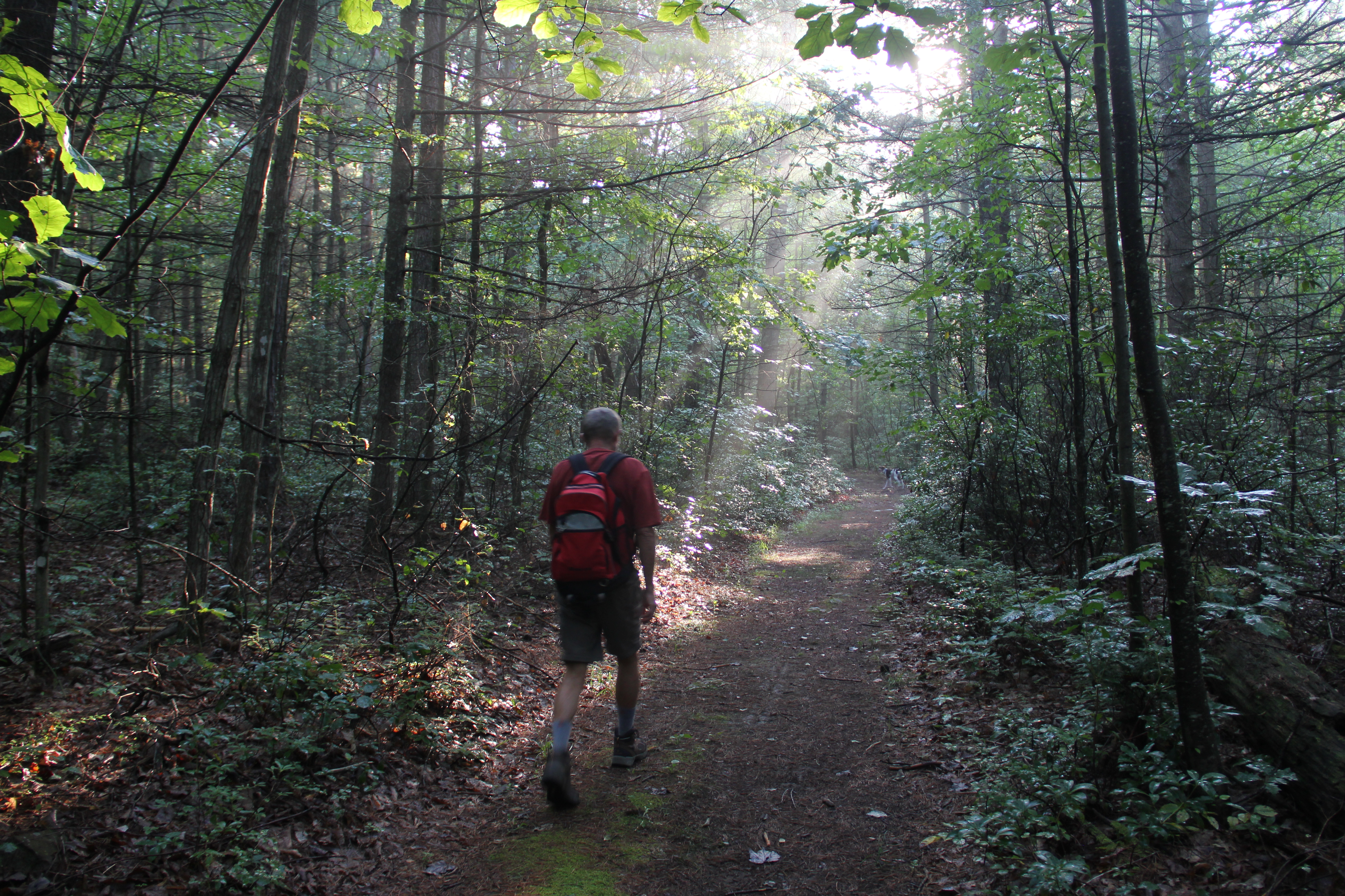
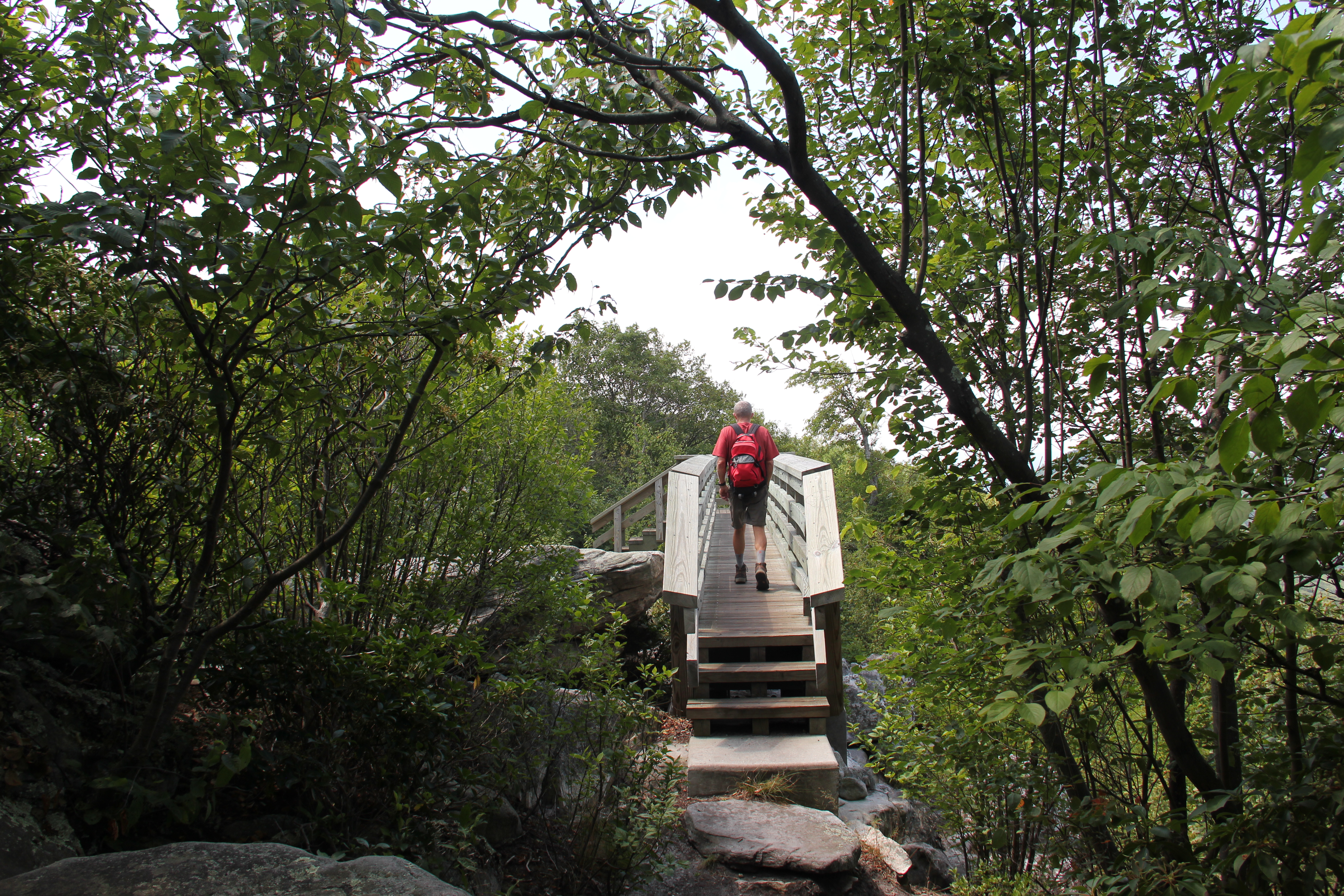
Uncle John and I and my dog Hunter explored the Big Schloss for the first time today, making a 12-mile loop out of it via the Little Stony Creek Trail, Tuscarora Trail, and the Mill Mountain Trail. This circuit is described excellently on midatlantichikes.com: http://www.midatlantichikes.com/id25.html.
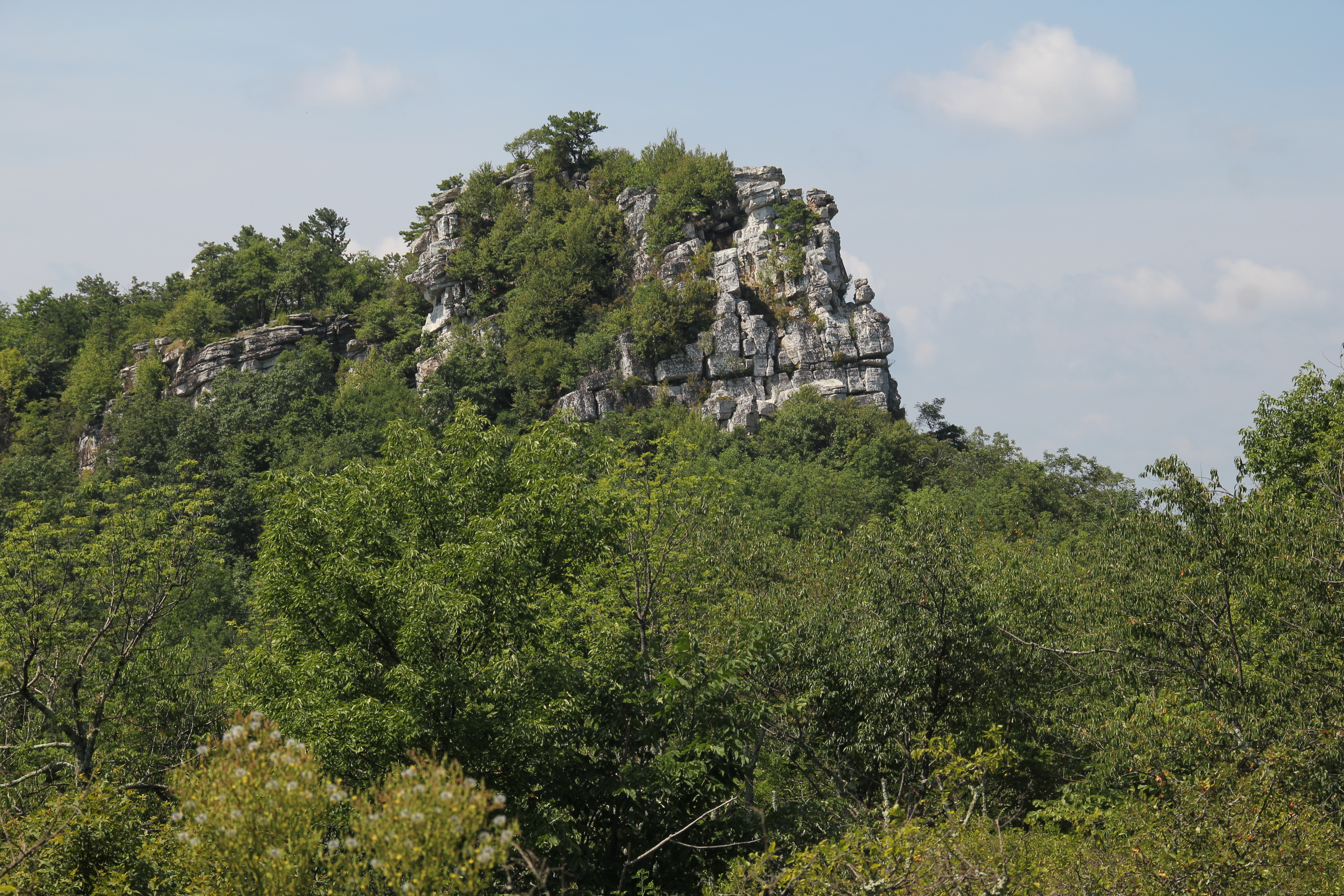
Much of circuit was unmemorable, but Big Schloss was well worth the visit. This was one of the best vistas I've enjoyed east of the Mississippi, and on this particular day there was no one else in sight--probably due to the heat. On our drive home the thermometer in my truck read 102 degrees.
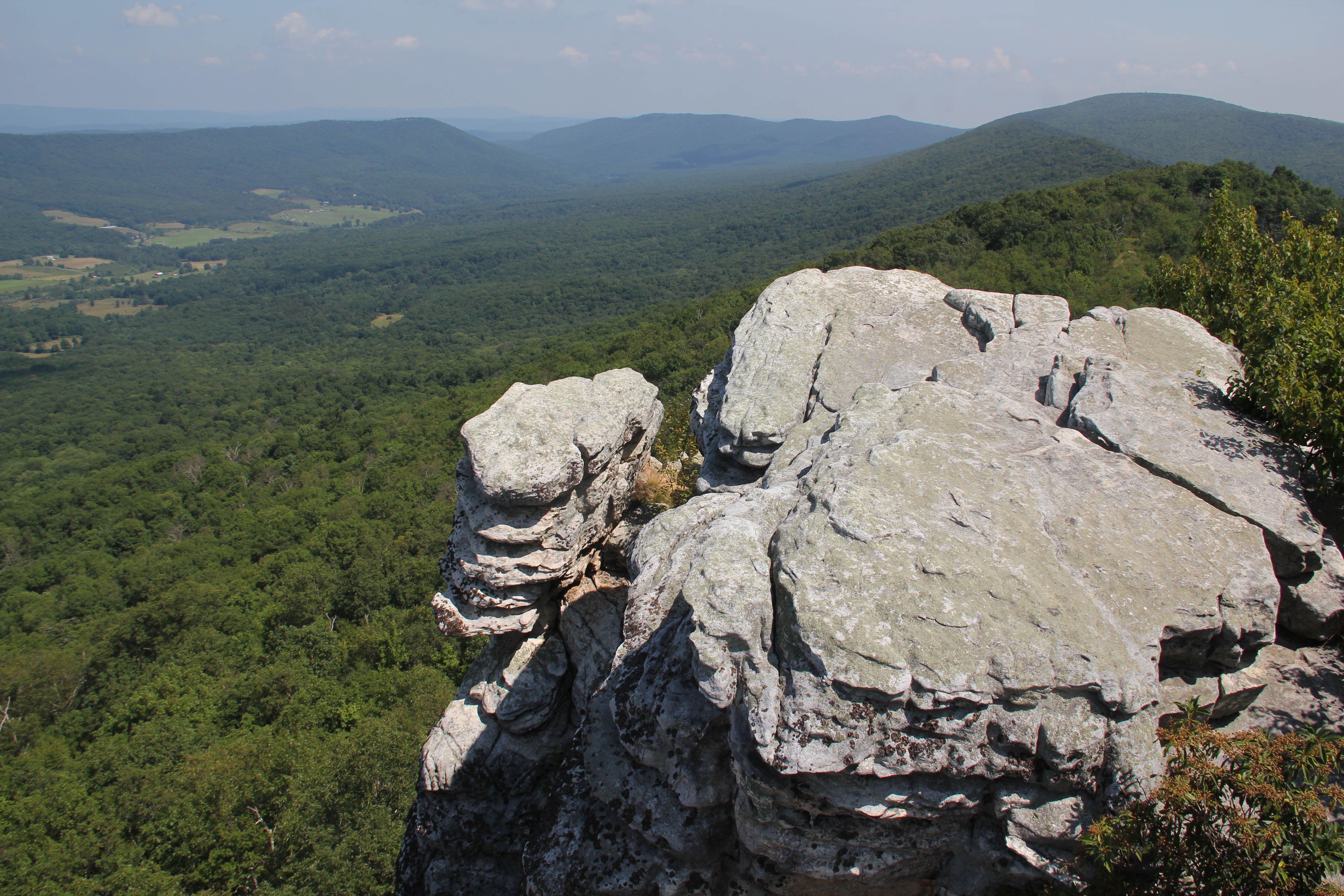
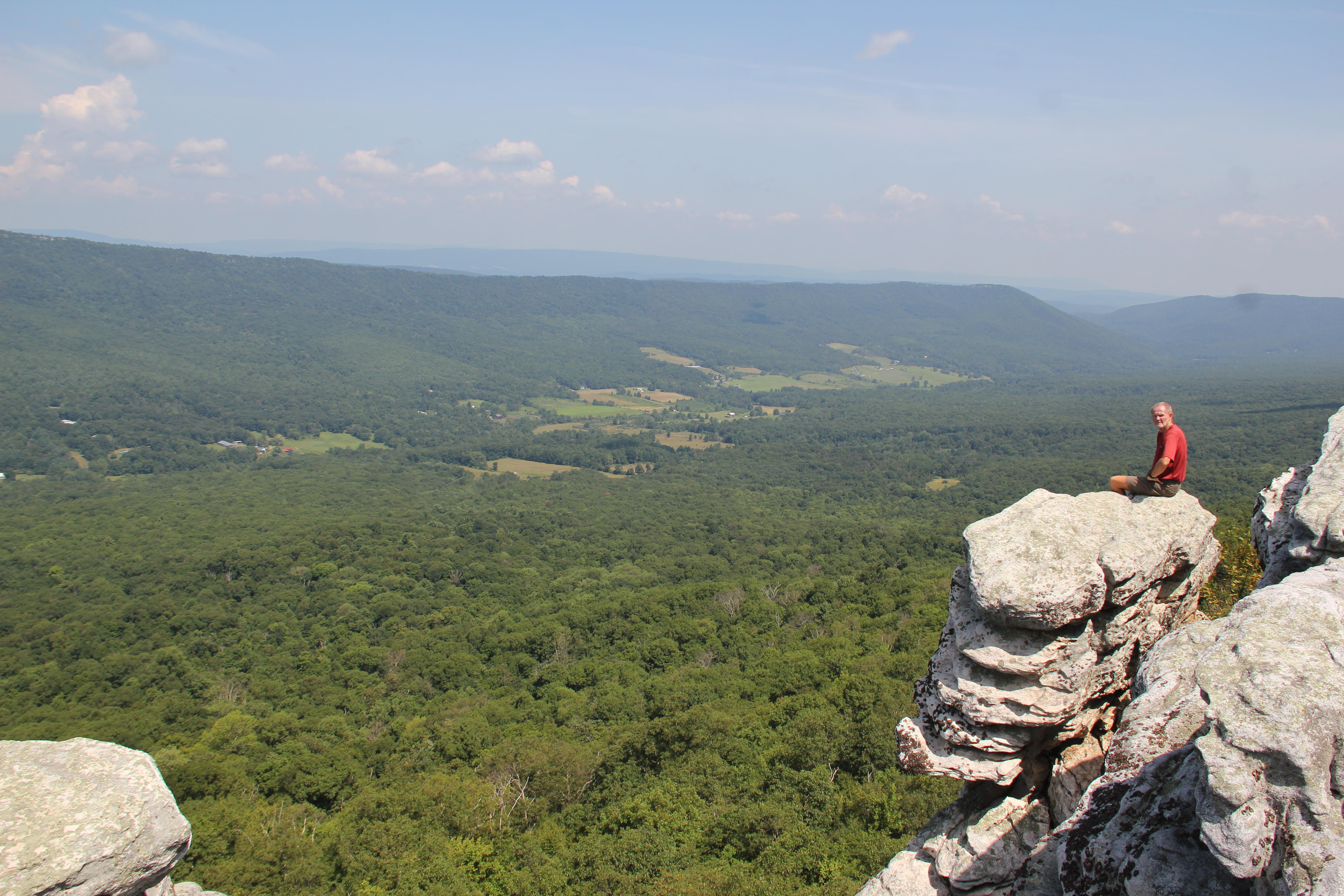
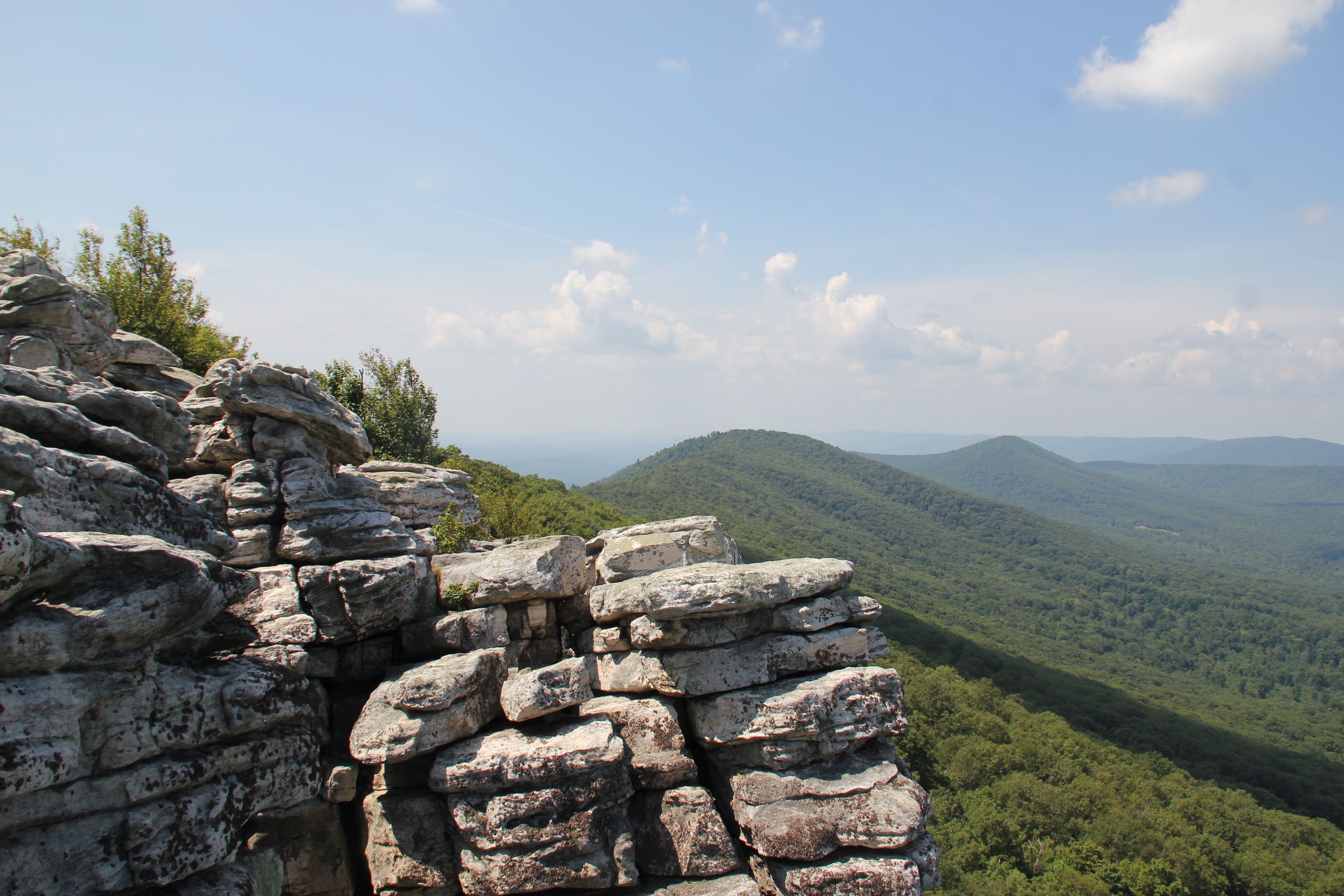
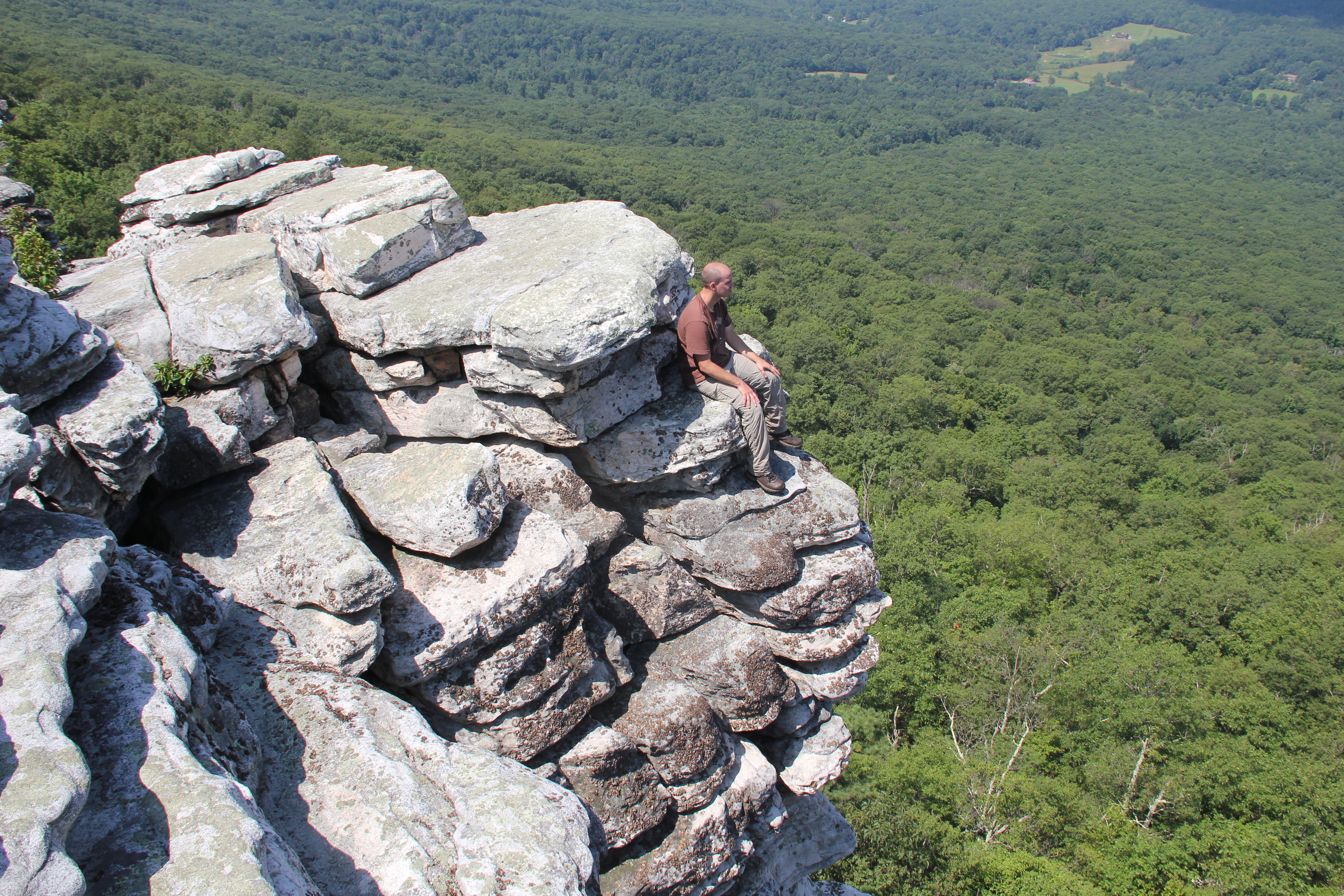
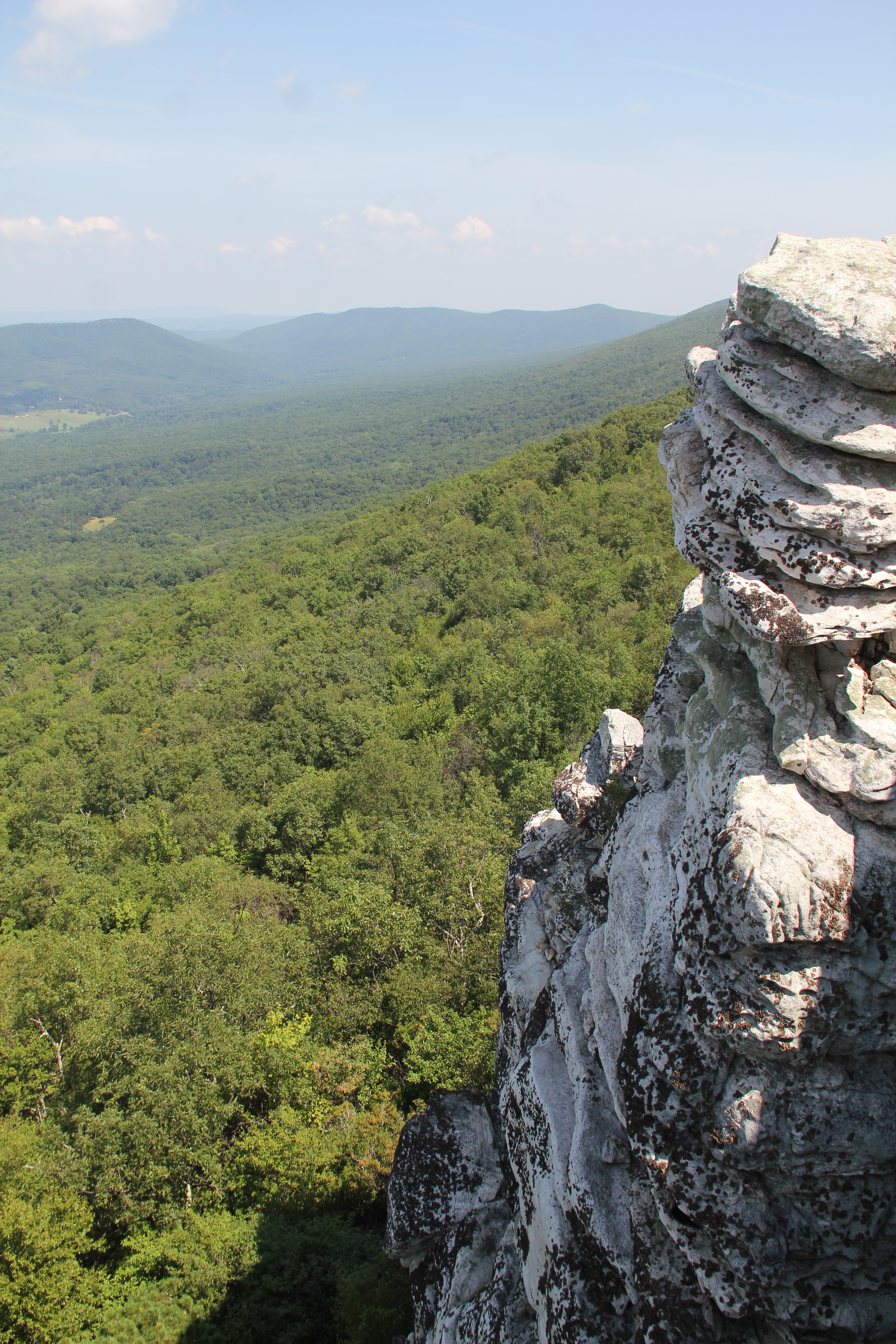
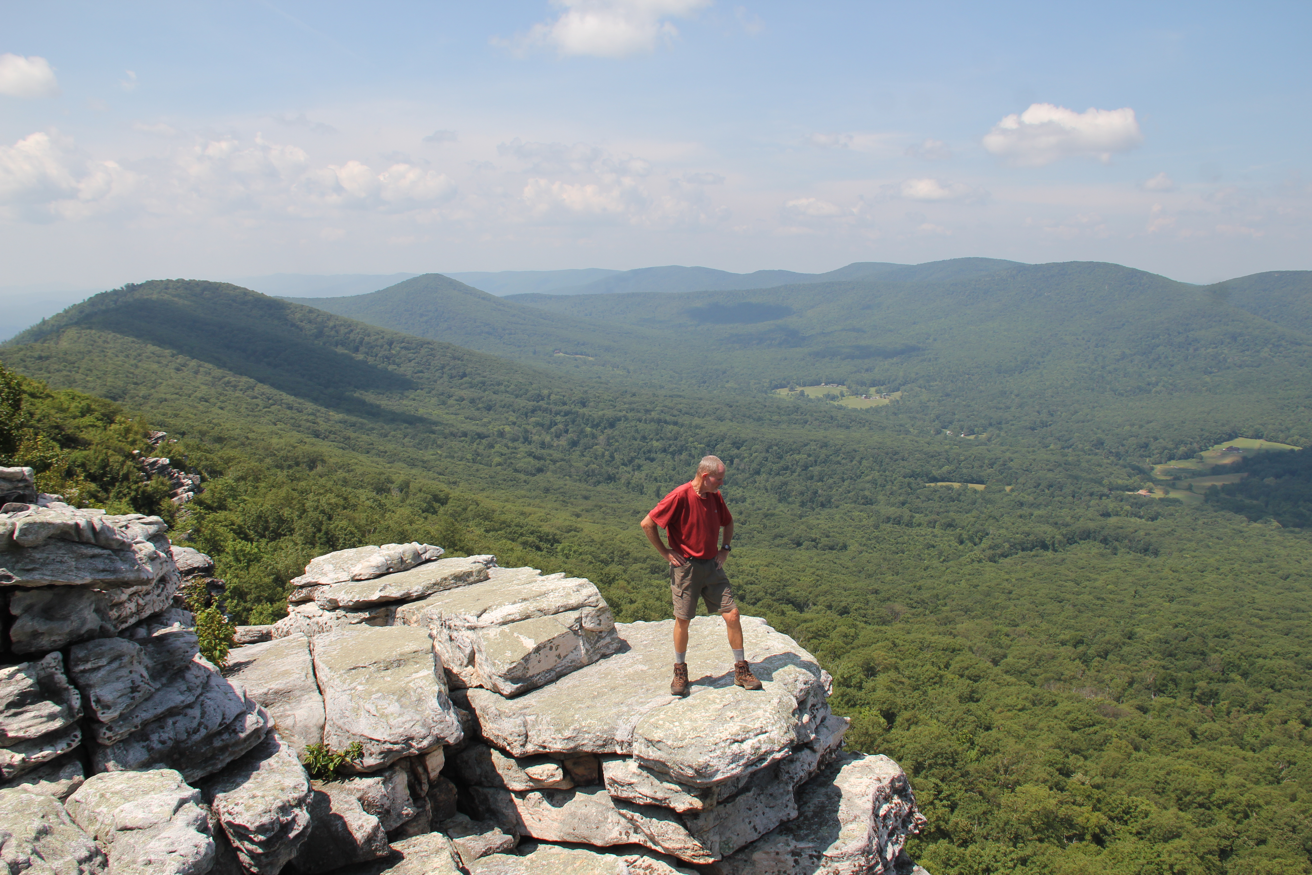
Indeed, the sun was blazing on us against the white granite of the cliffs during our photo op at the Big Schloss vista, but we stayed for quite a while to soak in the scenery. I'd like to return to this spot with a rope some time to explore the nooks and crannies of the cliffs.
From a nice and spacious dry camping spot along the Mill Mountain Trail, the Big Schloss Cut-off Trail switch-backed steeply down the mountainside back to the road, along which we walked a short ways back to the truck.