Dolly Sods Wilderness, West Virginia Loop Hike
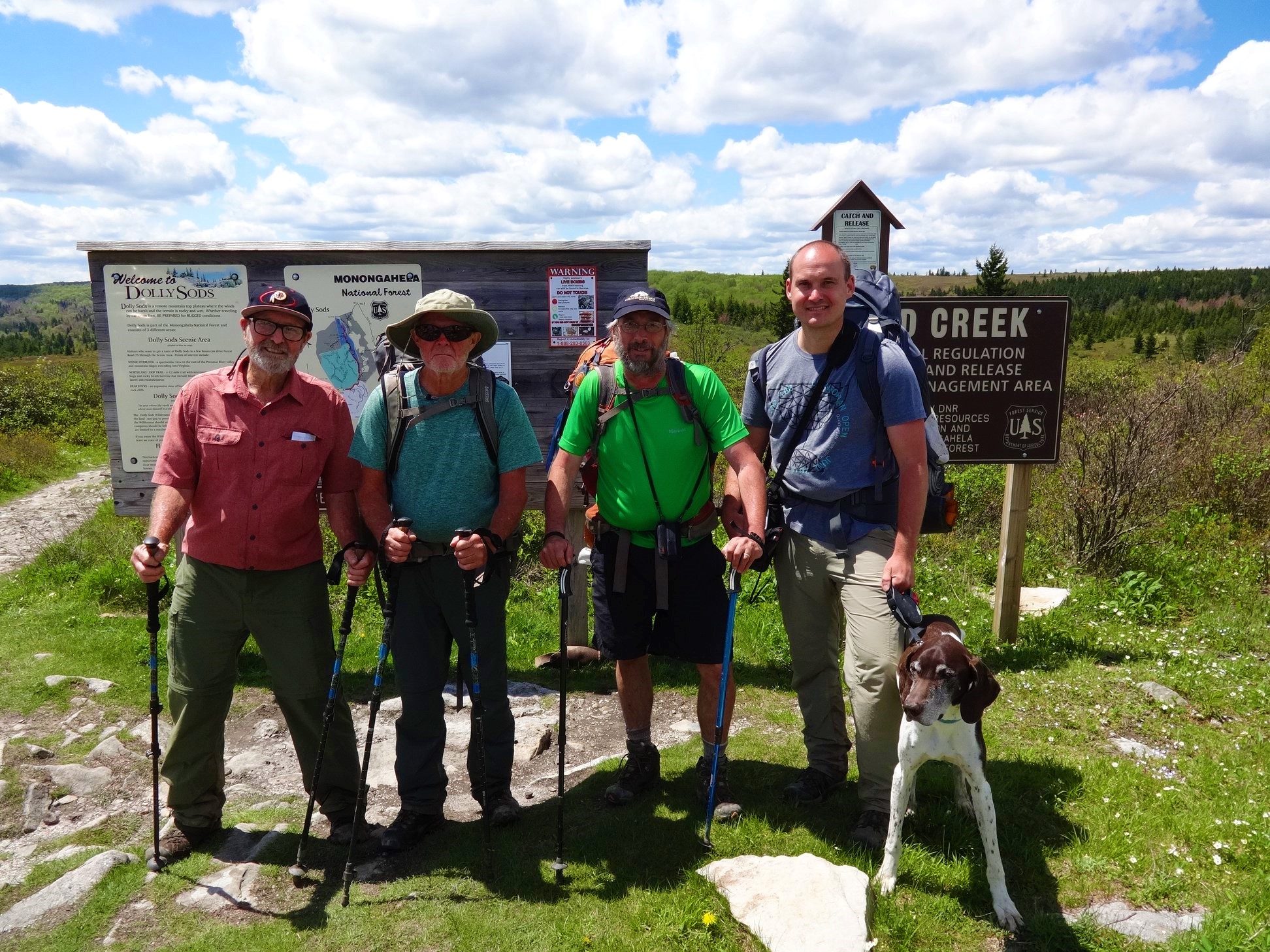
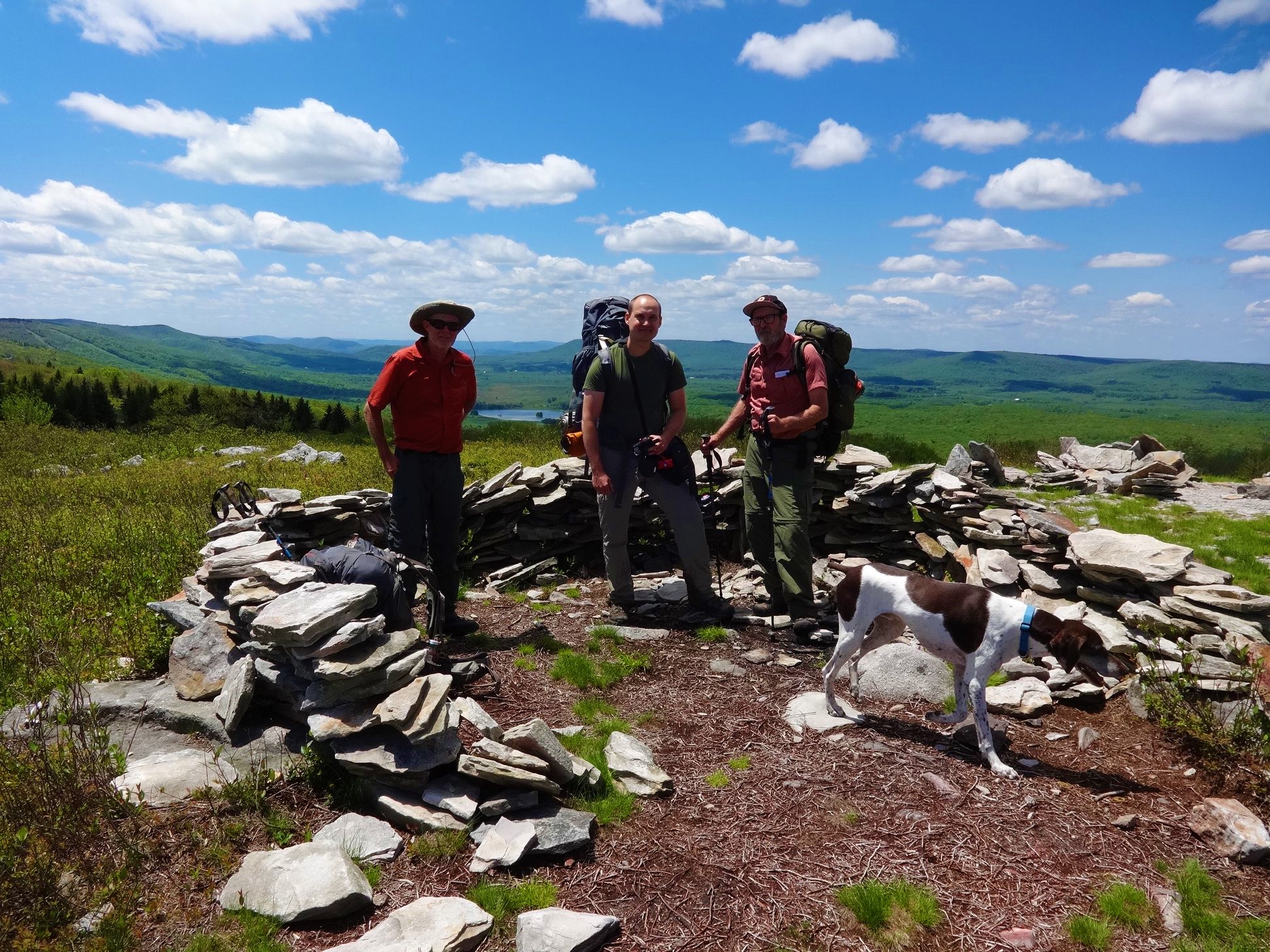
Brad Snider, Greg Strine, John Snider, Steve Snider, and Hunter the Dog
19.9 miles Click to View Map
Day 1: 9.85 miles, Bear Rocks Trailhead to Stonecoal Run.
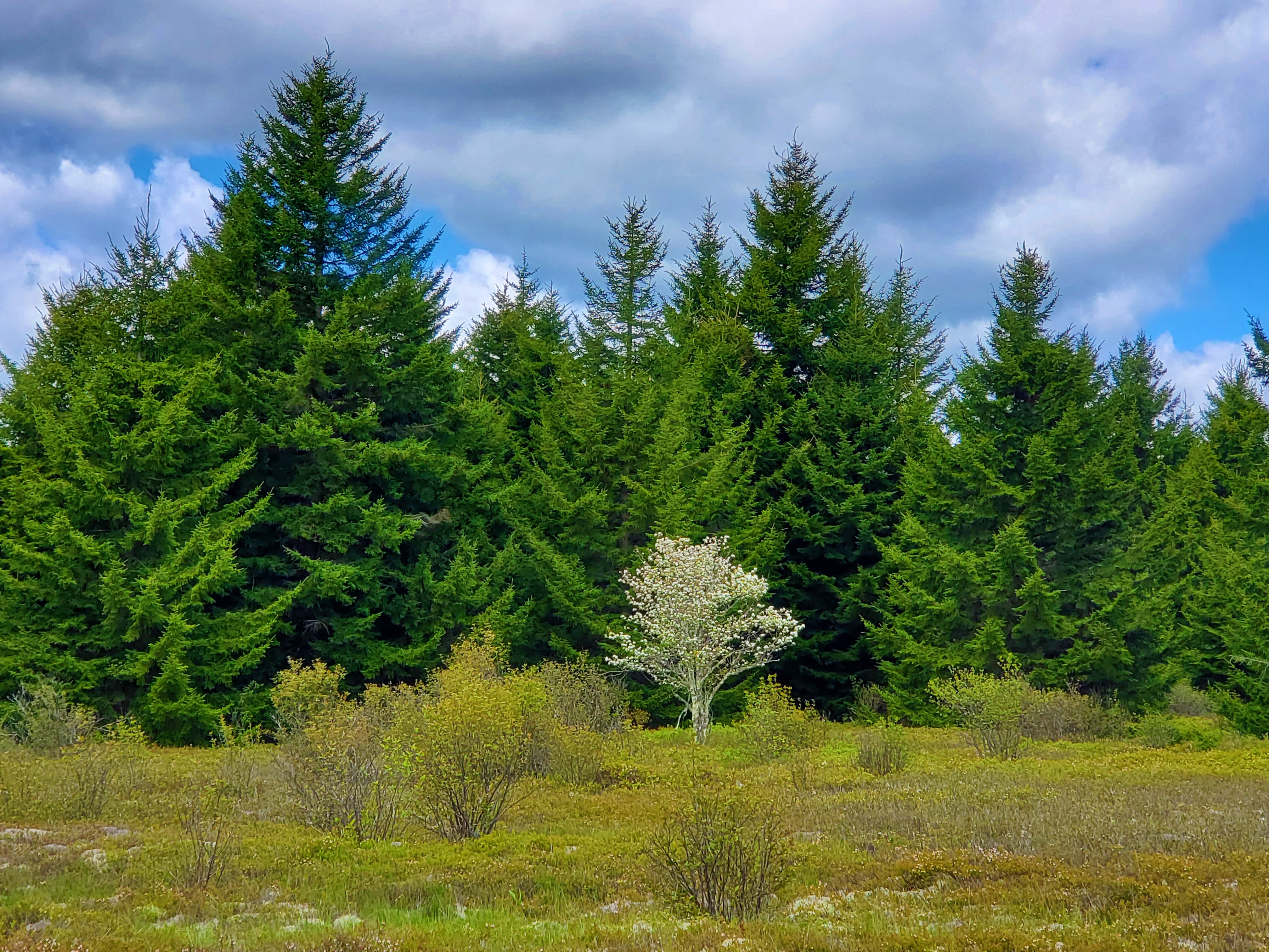
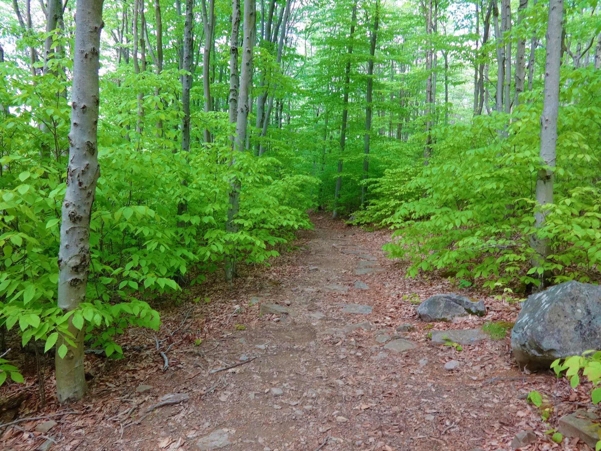
If there is one word to sum up Dollie Sods Wilderness, it would be diversity. High meadows, beech woods, spruce forests, rhododendrons, rocks, creek crossings, and mud were a few of the common features we encountered.
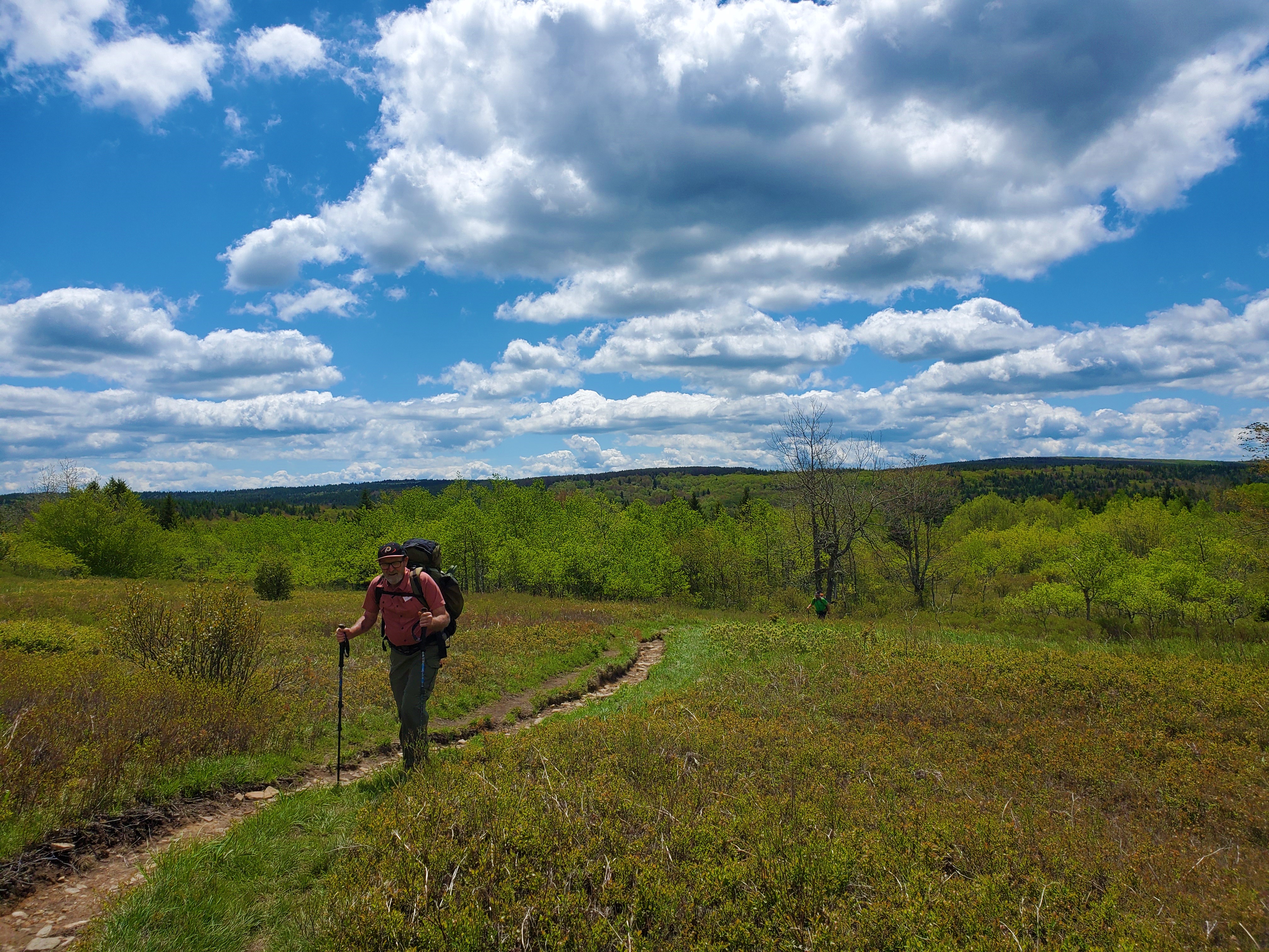
We began our hike at the Bear Rocks Trailhead, on the northeast side of the wilderness, and enjoyed the expansive meadow views. The landscape is unique for this region of the country; much of the first three miles felt as if I was walking through a painting.One route-finding note: At the first trail junction a mile into the hike, there is a sign with all arrows pointing south to the Dobbin Grade Trail. There are no arrows pointing the direction you want to go if doing the loop counterclockwise, as we were. To stay on the Bear Rocks Trail, just continue straight.
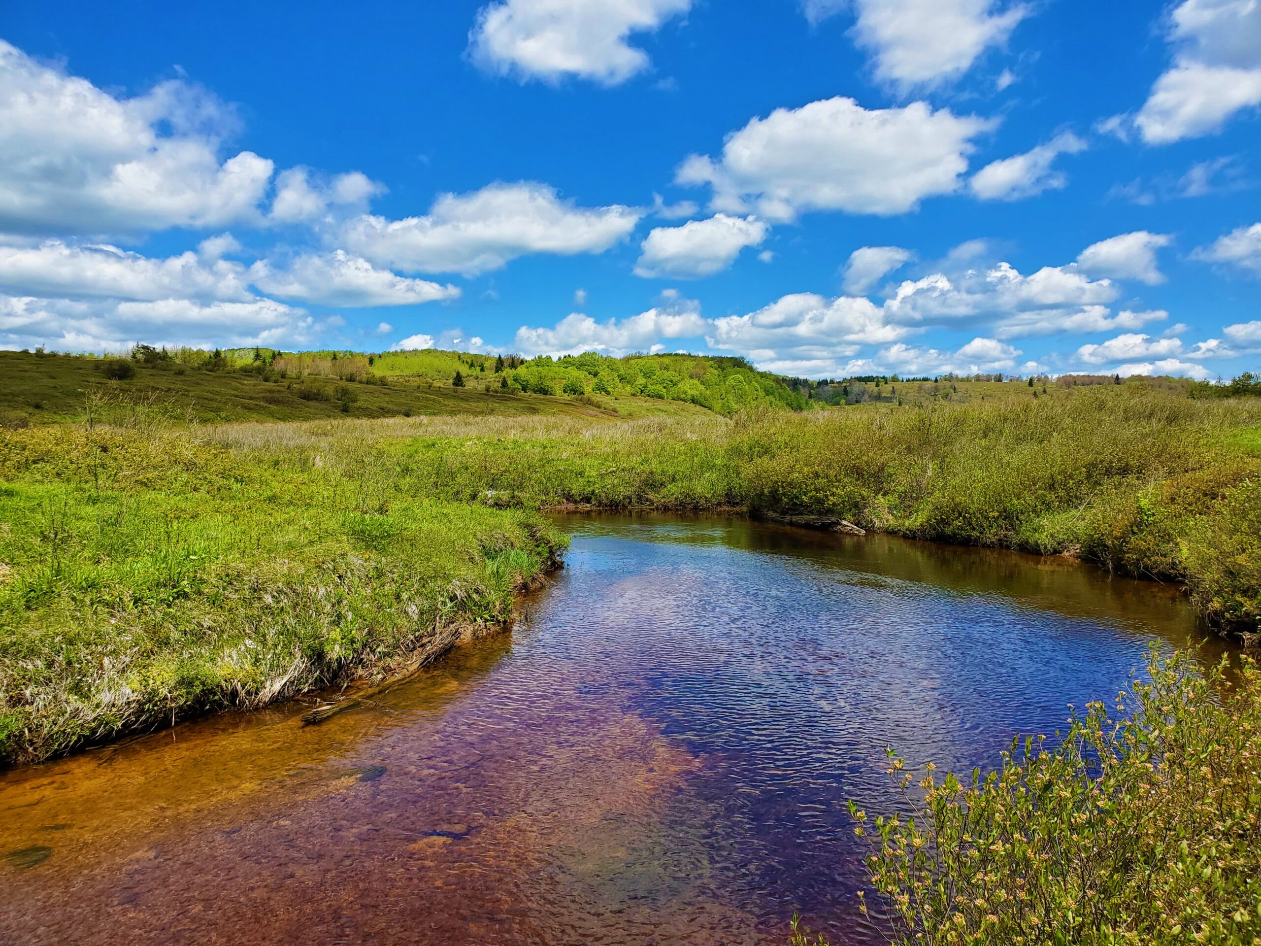
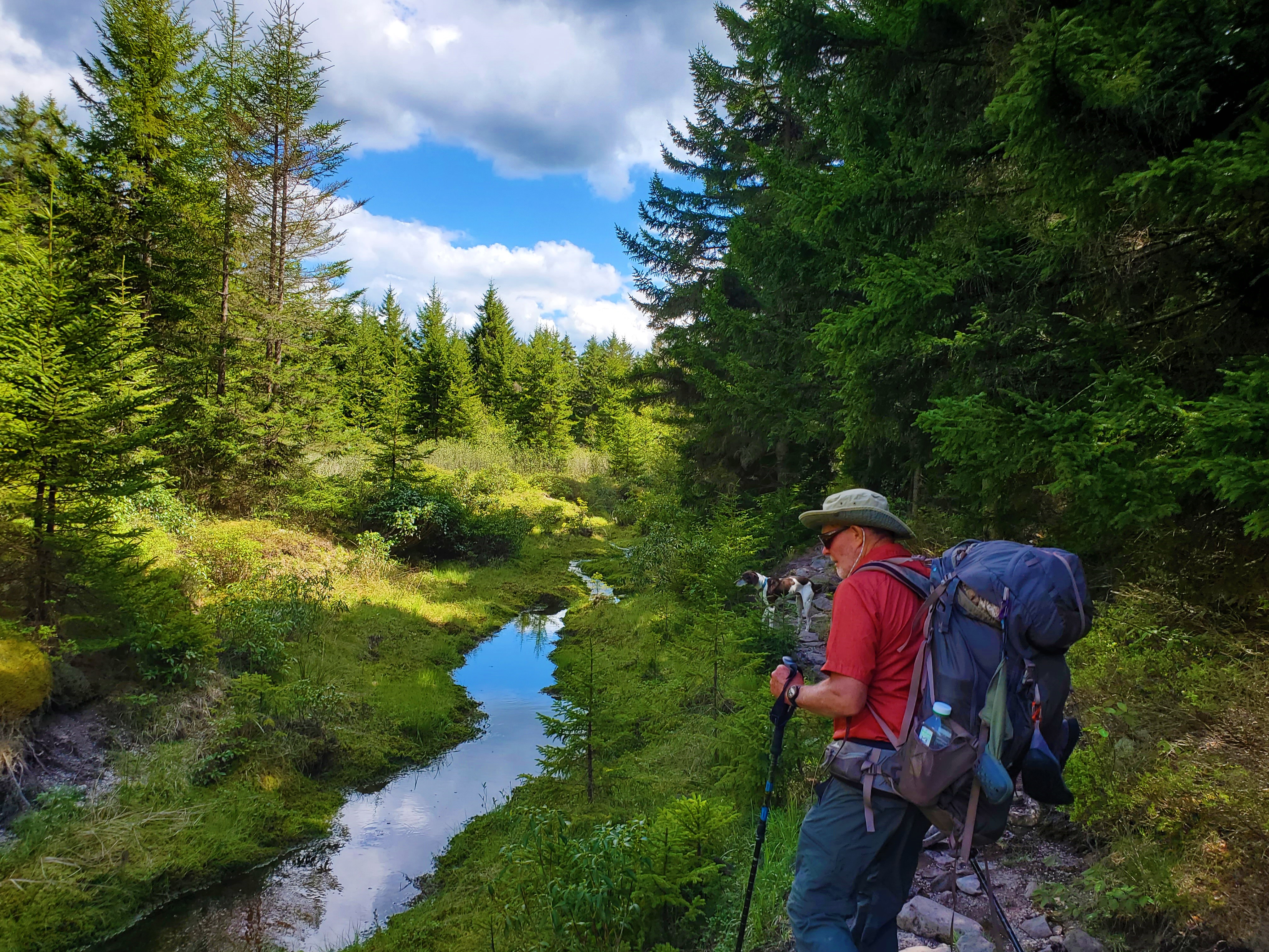
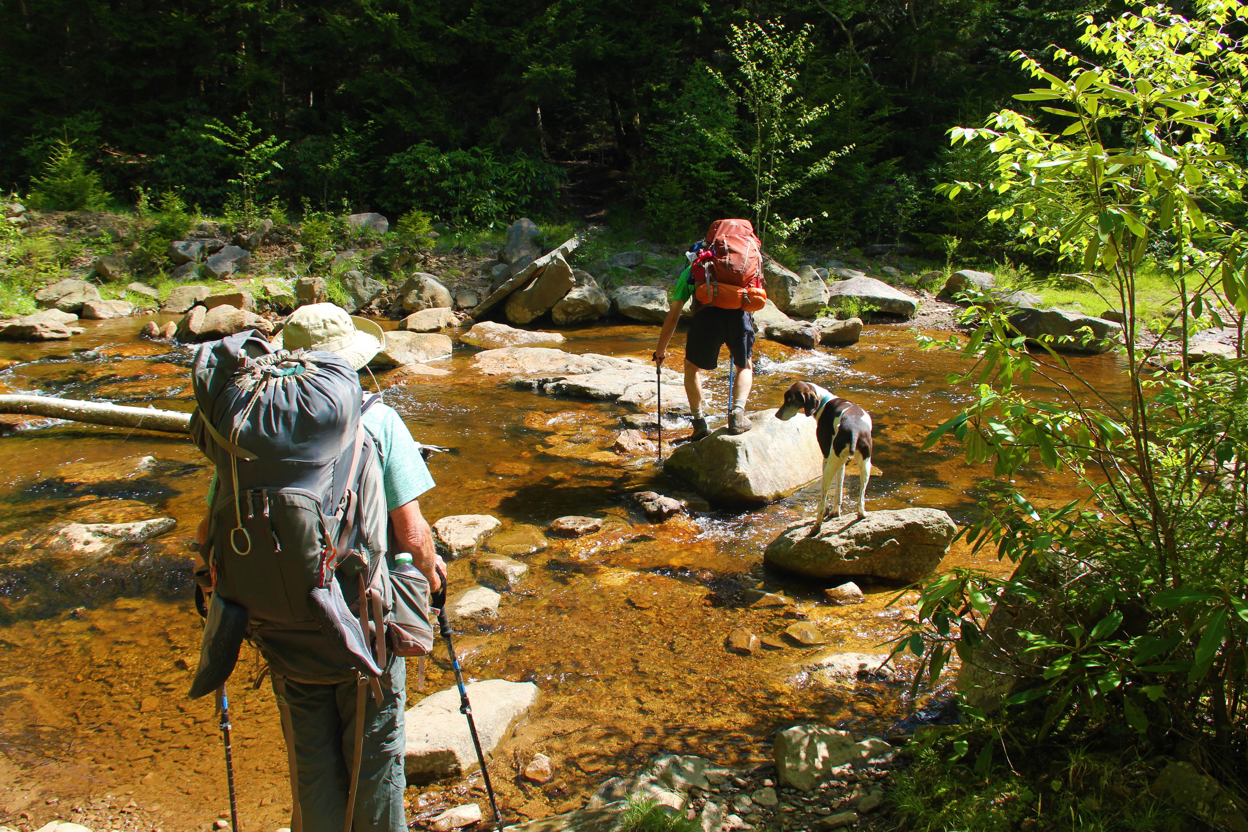
Shortly after this we came to our first obstacle, the crossing of Red Creek. Greg and Uncle John made it across with dry feet, but I had no choice but to carry Hunter dog across the water, and Dad donned his flip-flops also to walk across.
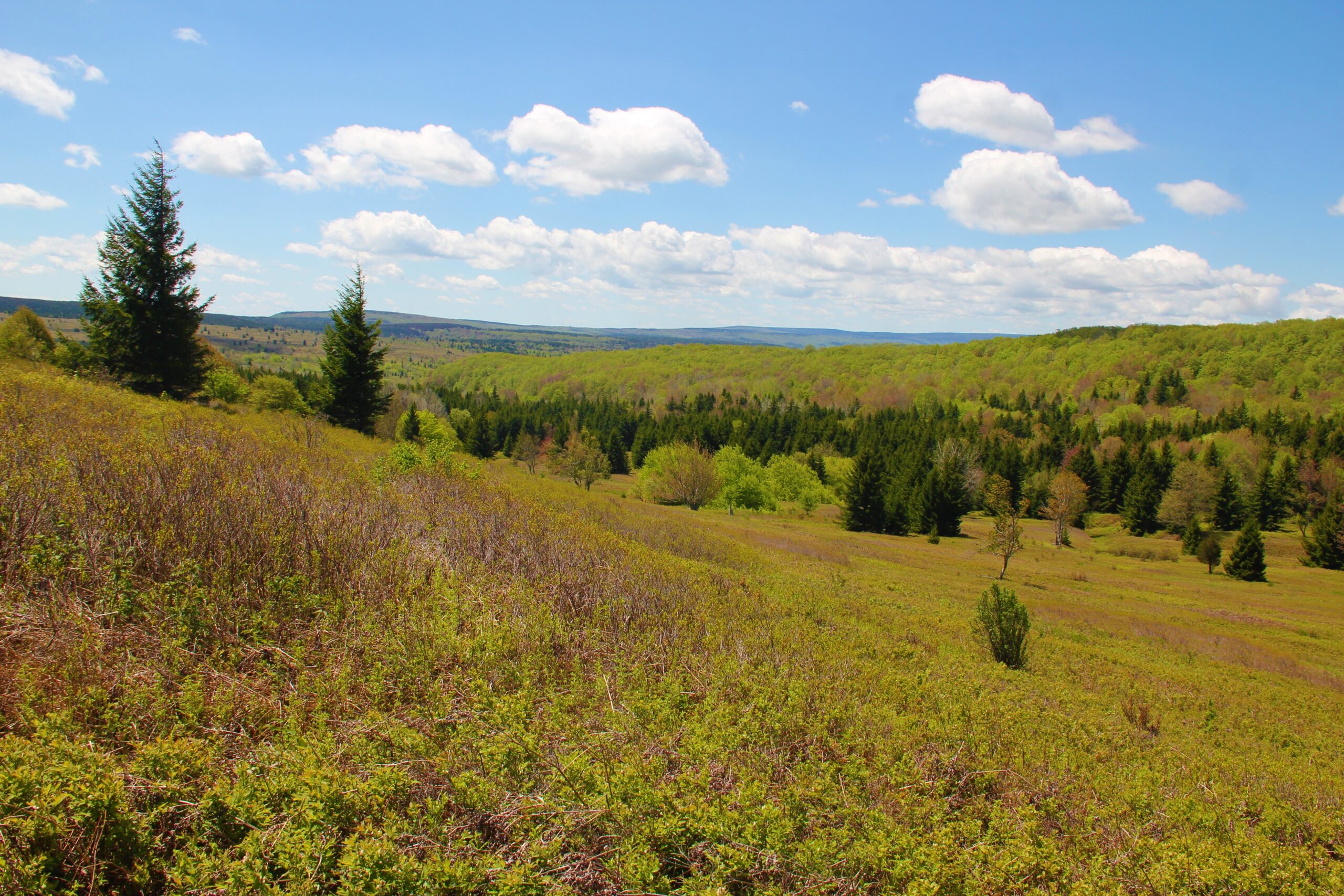
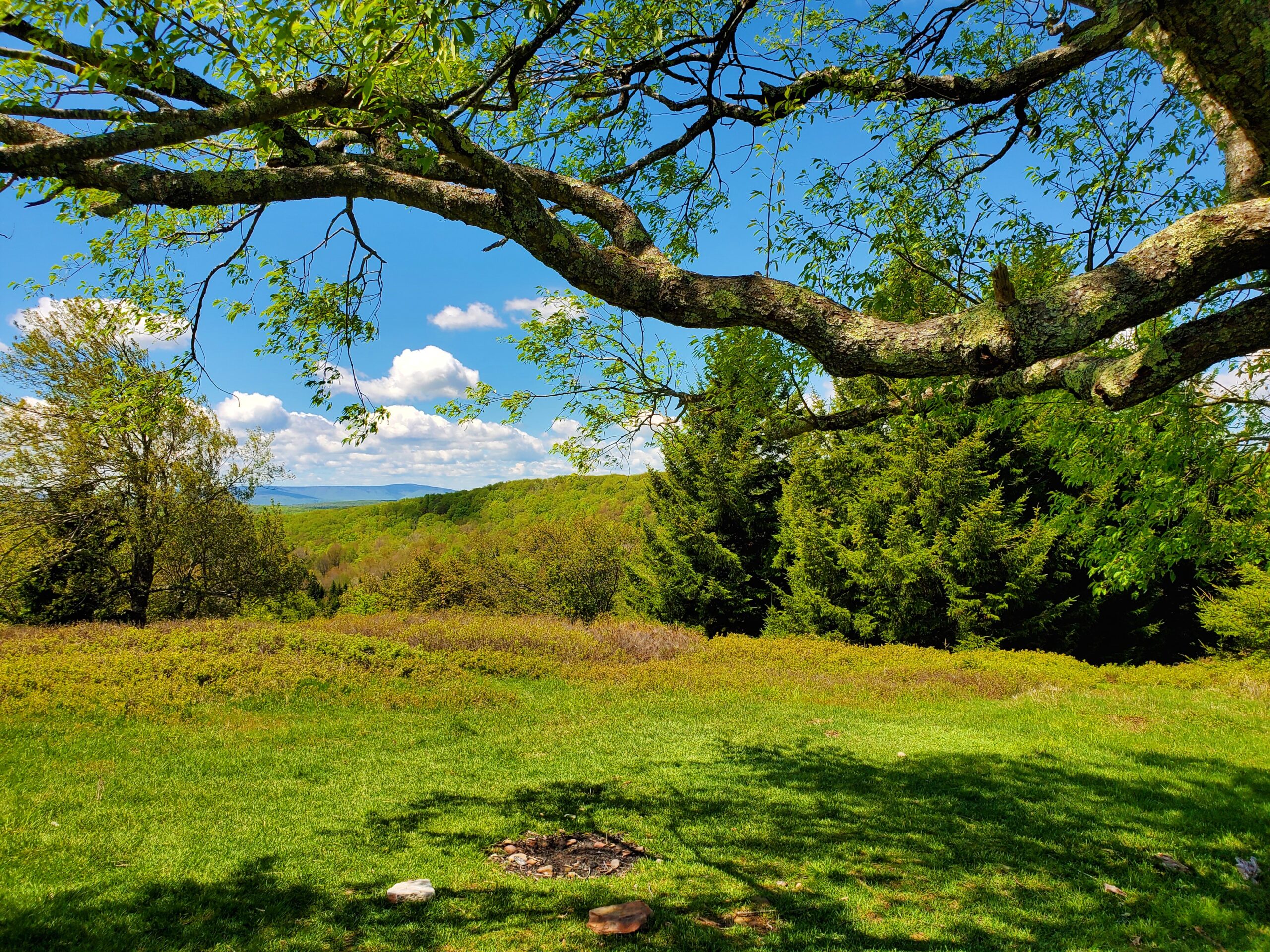
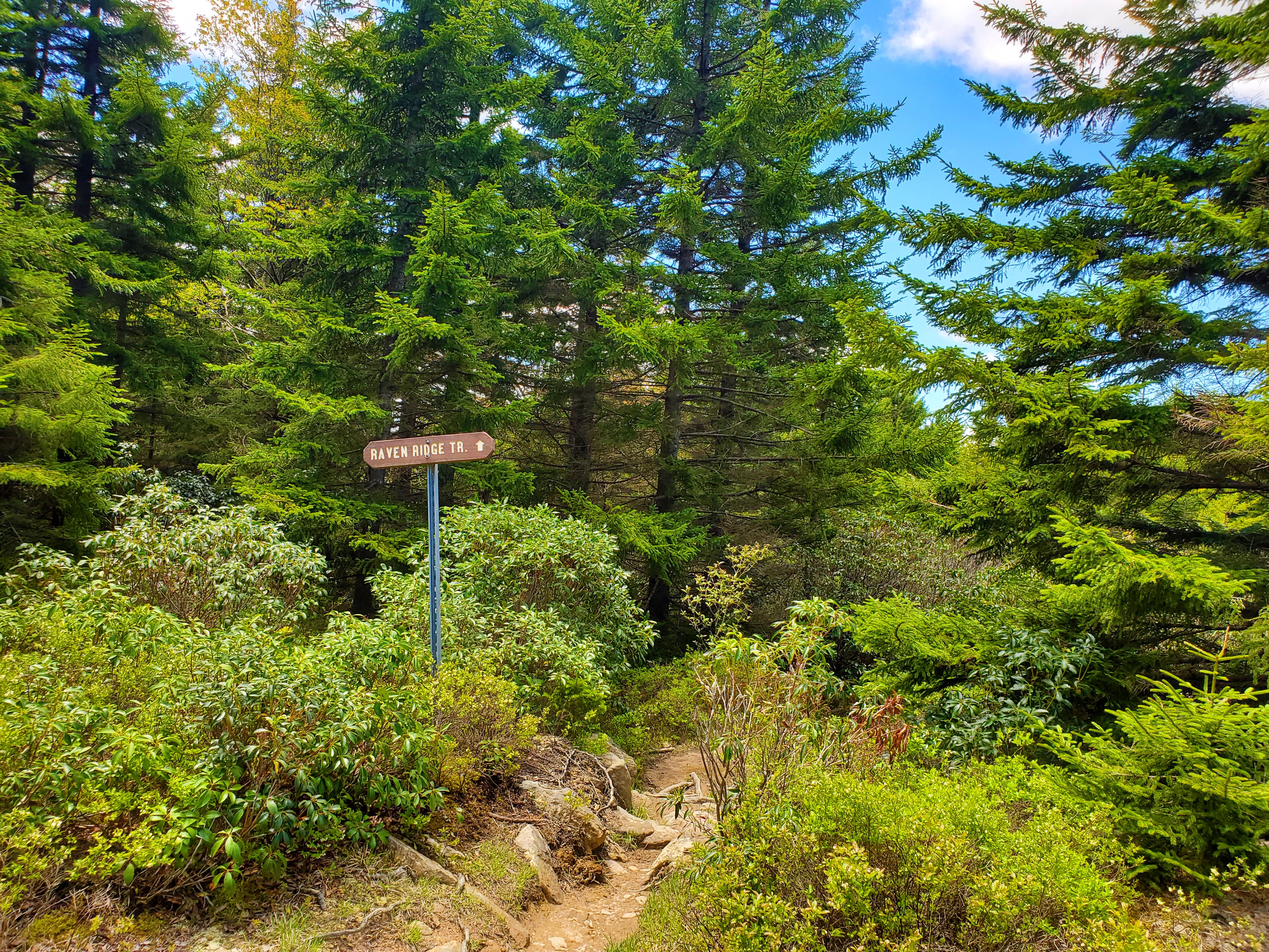
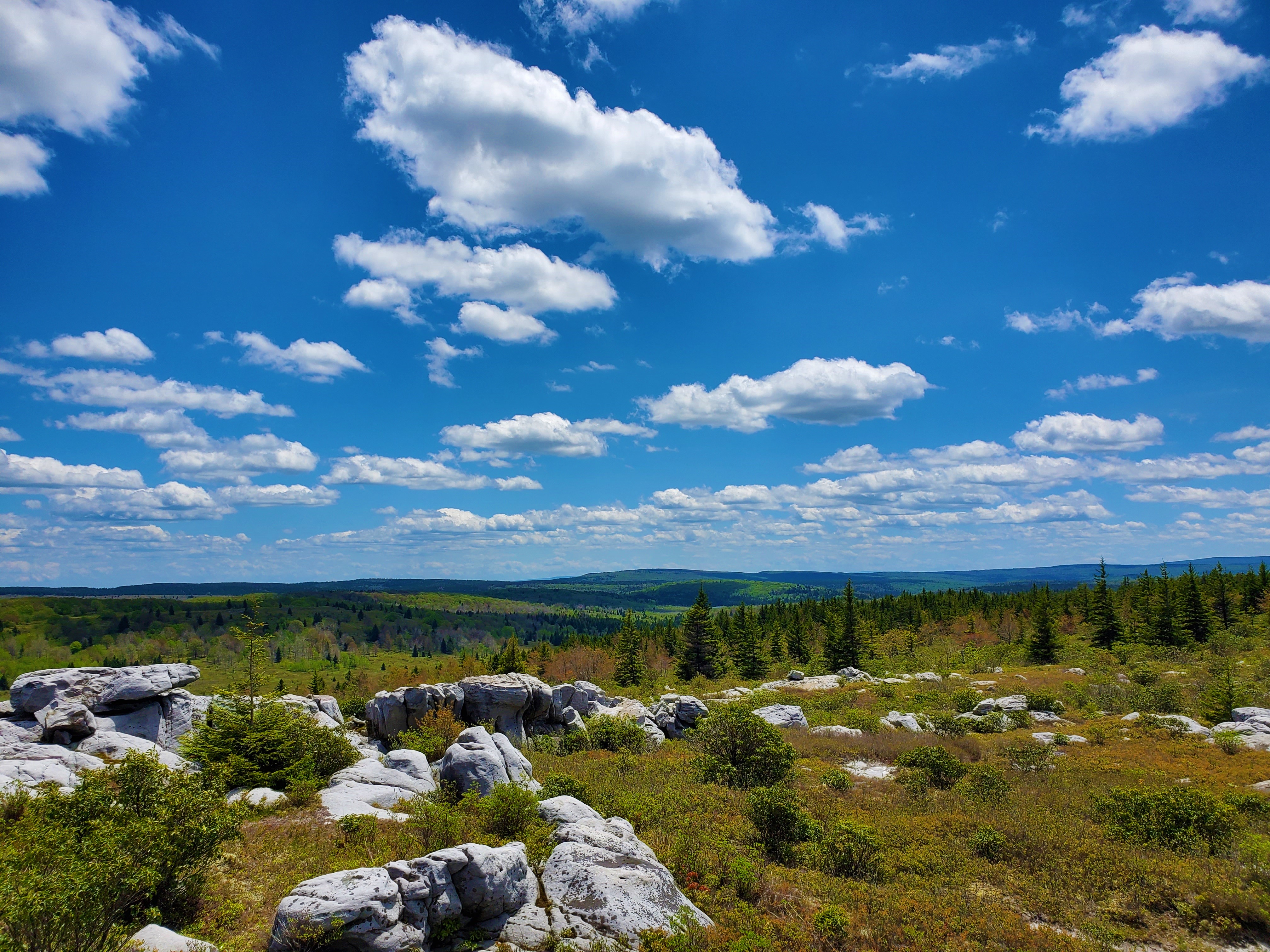
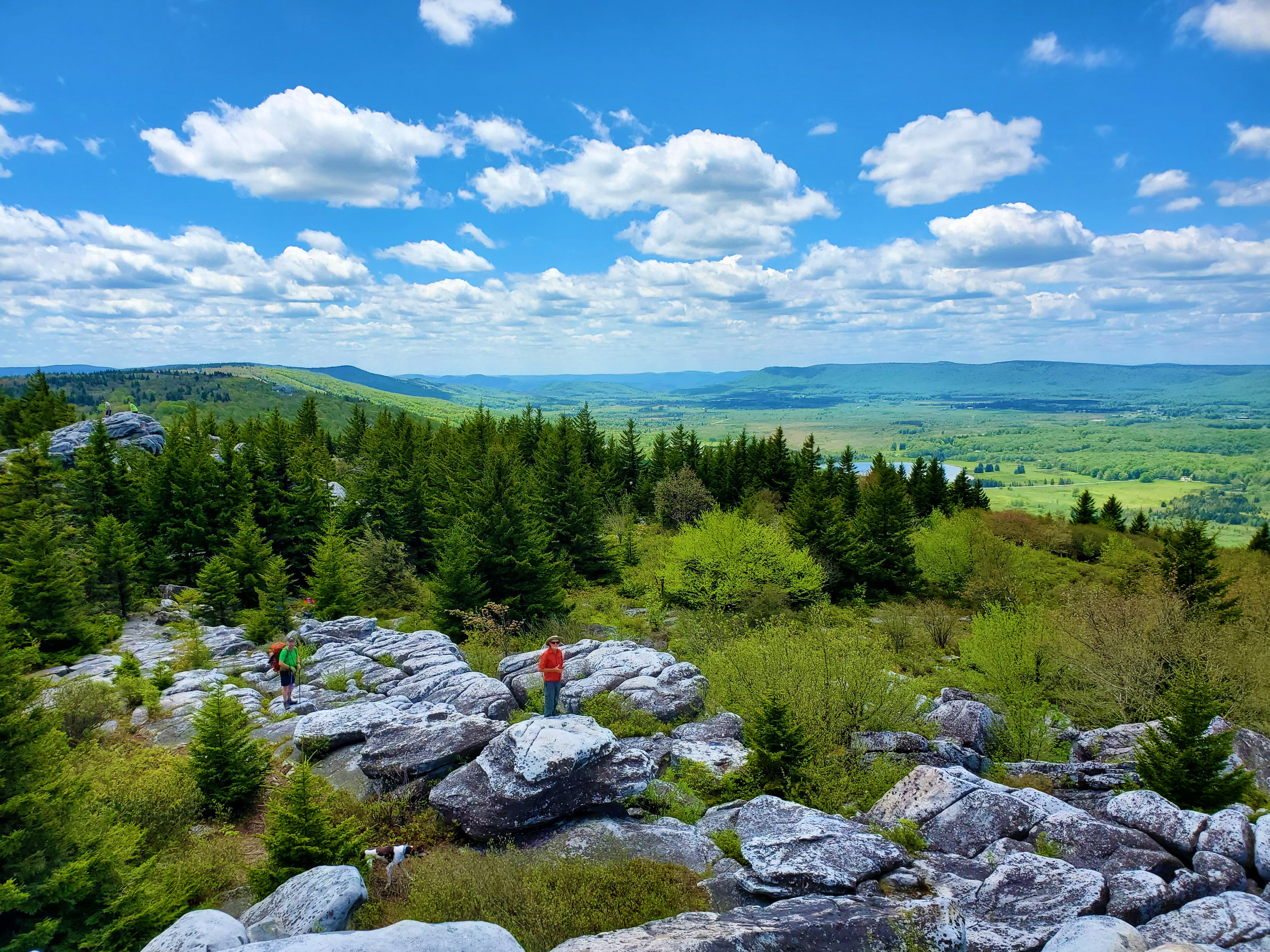
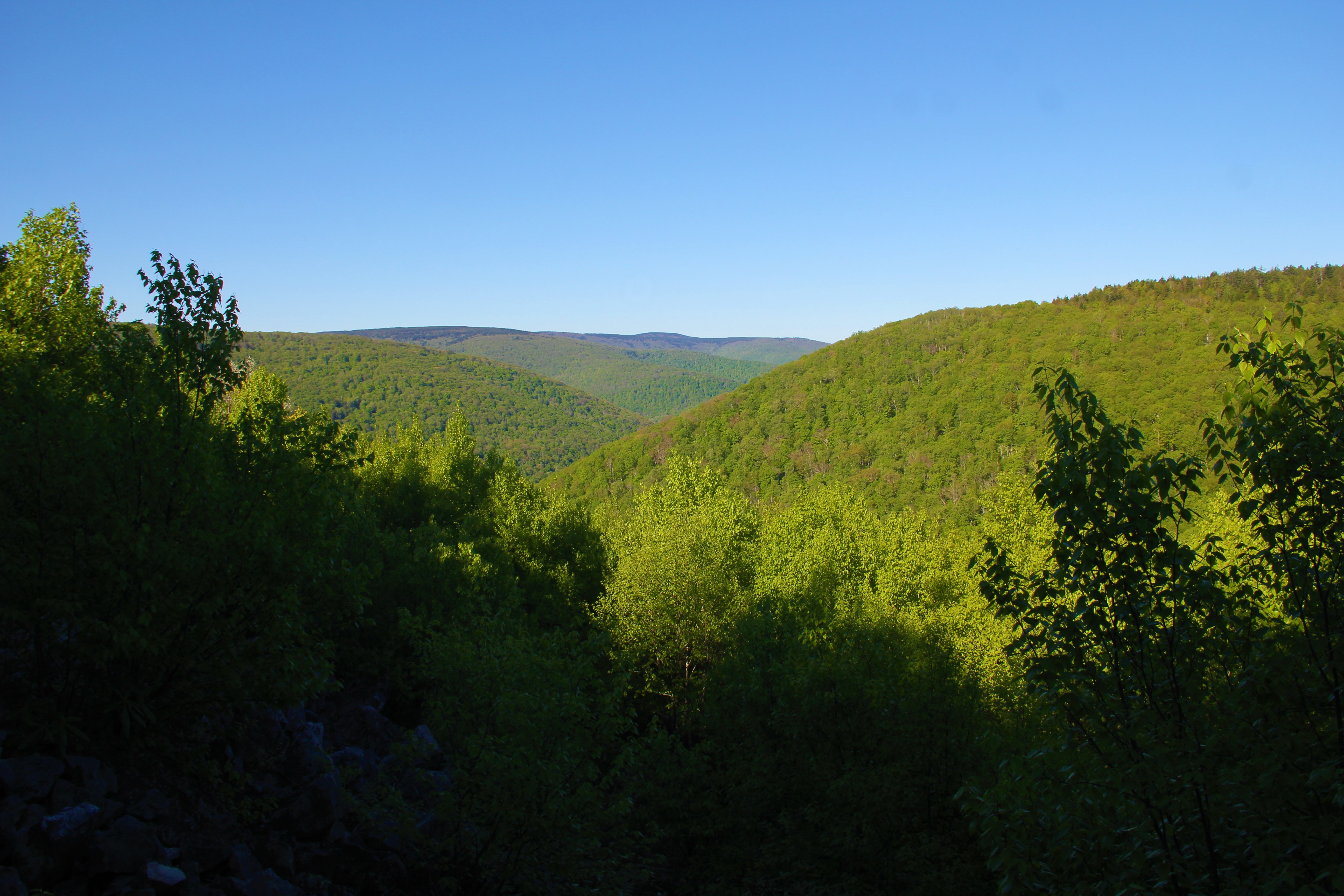
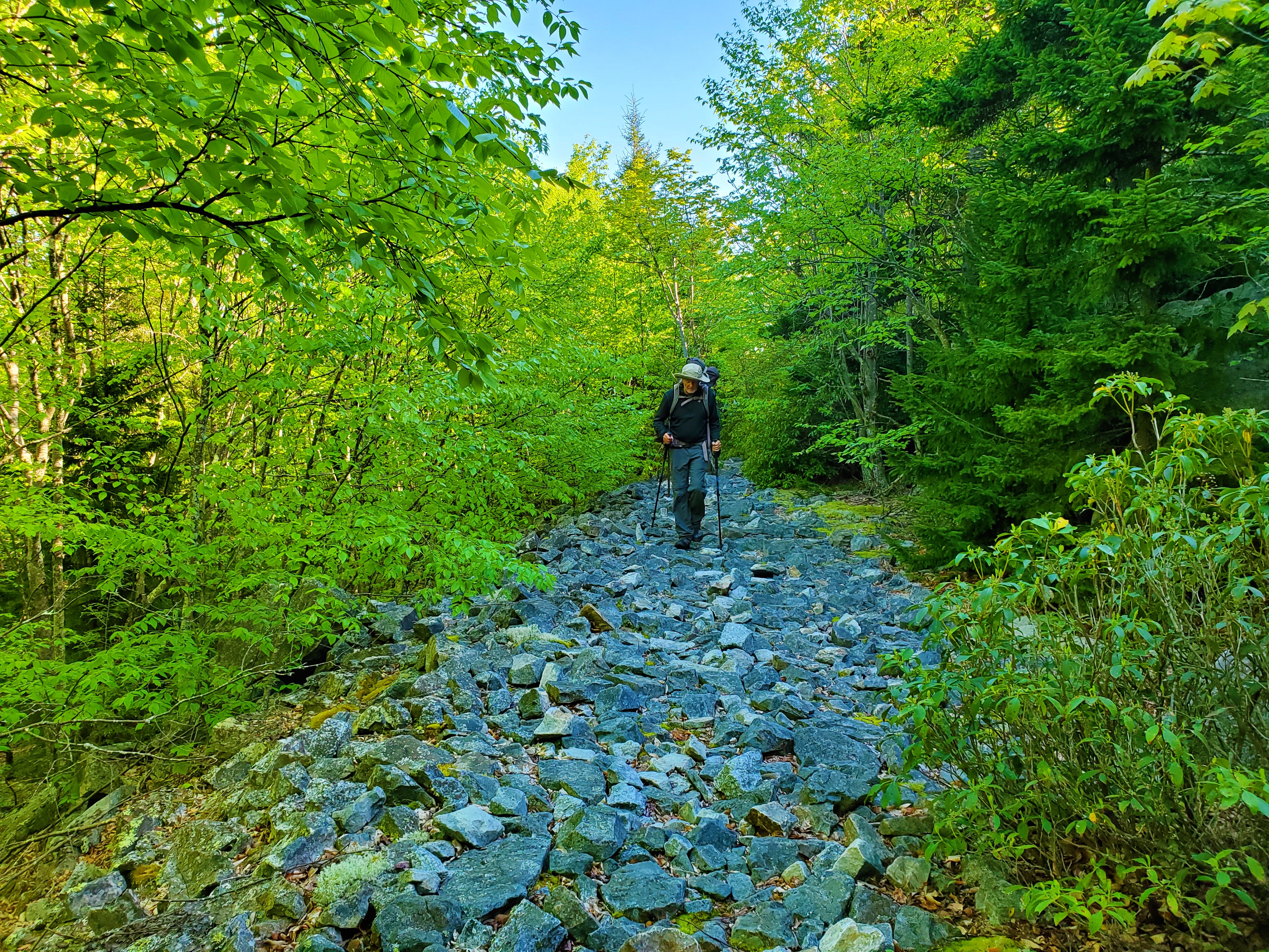
After ascending out of the woods beyond the creek, the wide-open meadows were interspersed with stands of spruce trees and maples, with plenty of good camping spots along the way.We had a scenic lunch break, then followed the Raven Ridge Trail into a thick evergreen forest, emerging before long on the western plateau. With expansive views to the south and west, we were now atop the well-named Rocky Ridge, at the northwestern most corner of the wilderness.Northwest Corner and beginning of Rocky Ridge TrailWe turned south and followed the Rocky Ridge Trail for several miles, detouring a few times to climb rock formations—including the high point of the ridge. We had great views of Canaan Valley along the way, and the boulder-strewn pathway reminded me somewhat of Virginia’s Old Rag Mountain.Photo Above by Greg Strine.View from atop Rocky RidgePhoto by Greg Strine.Eventually, we came to the junction with the Big Stonecoal Trail. Diversity continued: the trail turned to a jaunt through a mountain laurel thicket, with sharp stones now forming the pathway. The stones were interspersed with mud holes, an unpleasant foreshadowing of what lay ahead on other trails.We were relieved when the trail changed once again, to a pleasant walk along a very old railroad bed. At the bottom, now eight miles into our day, we passed some fantastic camping spots among the spruce trees.We wanted to try to get a couple more miles done before stopping for the day, so we aimed for the next juncture with Stonecoal Run. After some more good trail through spruce trees, the last mile back to the creek was a mud pit. I ran ahead of the others to claim the camping spot, and I was glad I did, because a lot of hikers converged on the area just after us—everyone beginning to look for a camping spot.
The place was ideal, under a canopy of spruce trees next to the creek.It was only 4:30pm, so we had all evening to set up camp, eat our Mountain House meals, and make a fire.
Day 2: 10.05 miles, Stonecoal Run to Bear Rocks Trailhead.
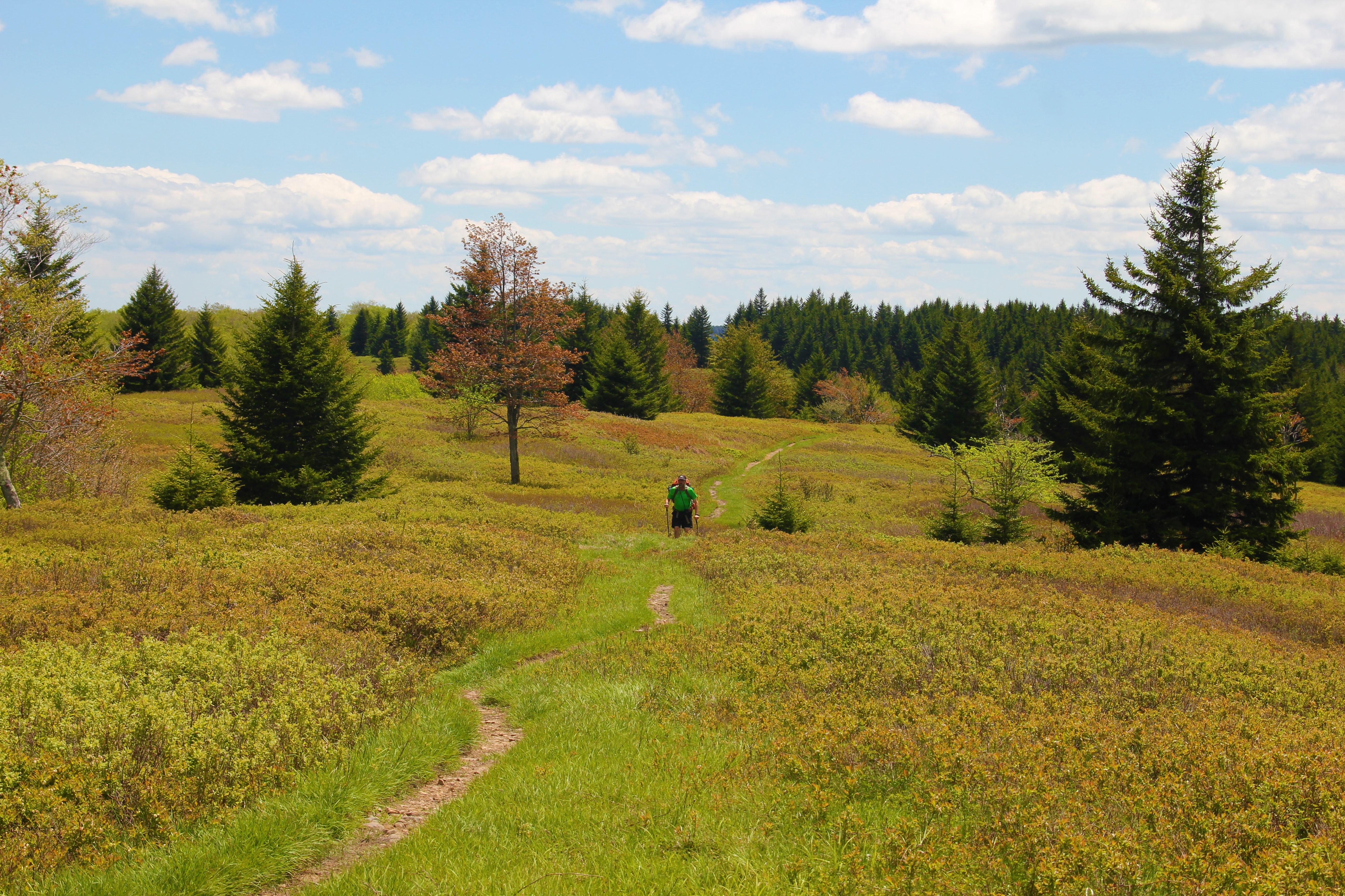
After a quick breakfast and mini fire to warm up, we packed up camp and hit the trail at 7:30. We passed numerous other good camping spots in the first quarter mile of today’s hike, and most of them were occupied.
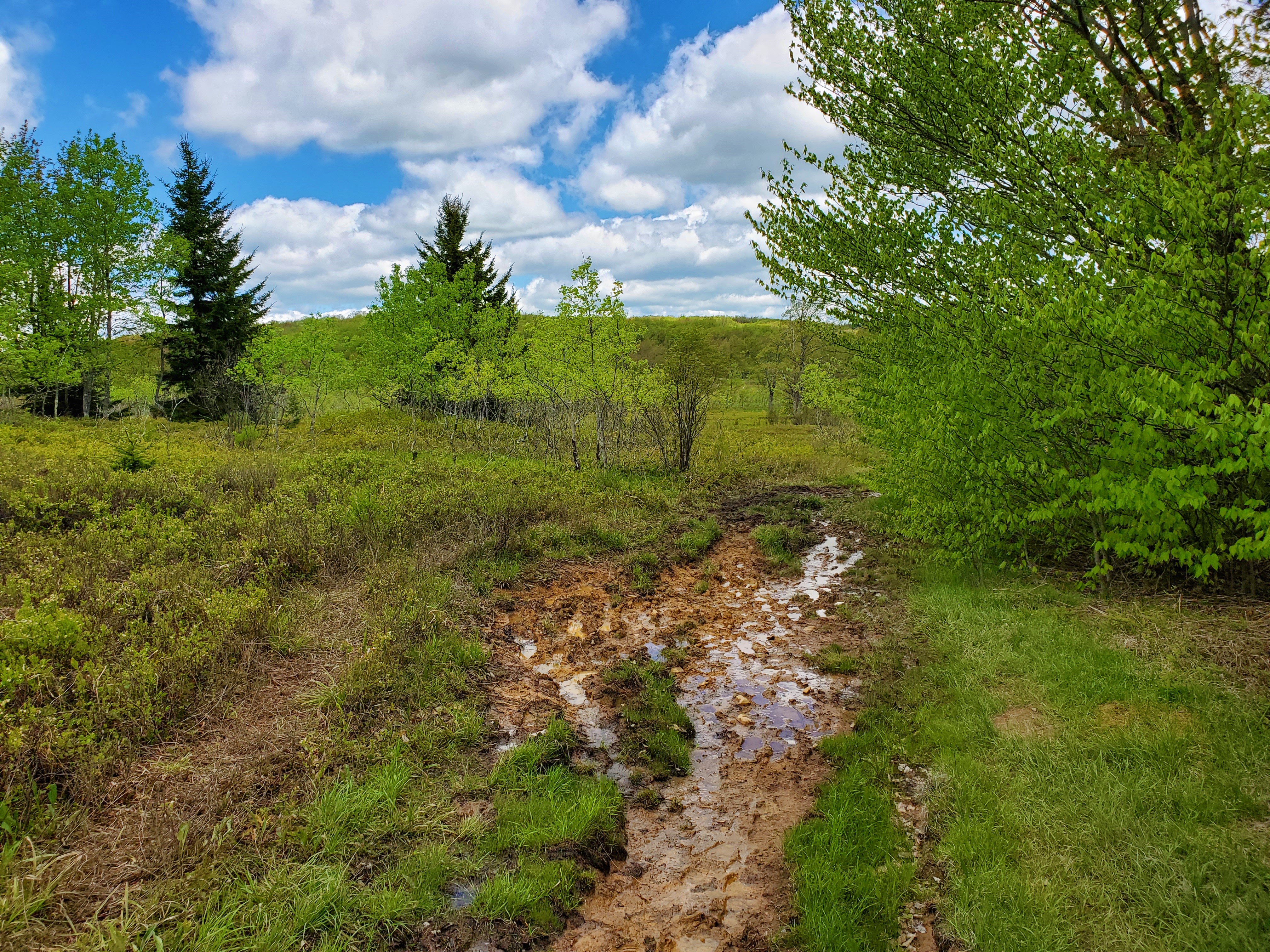
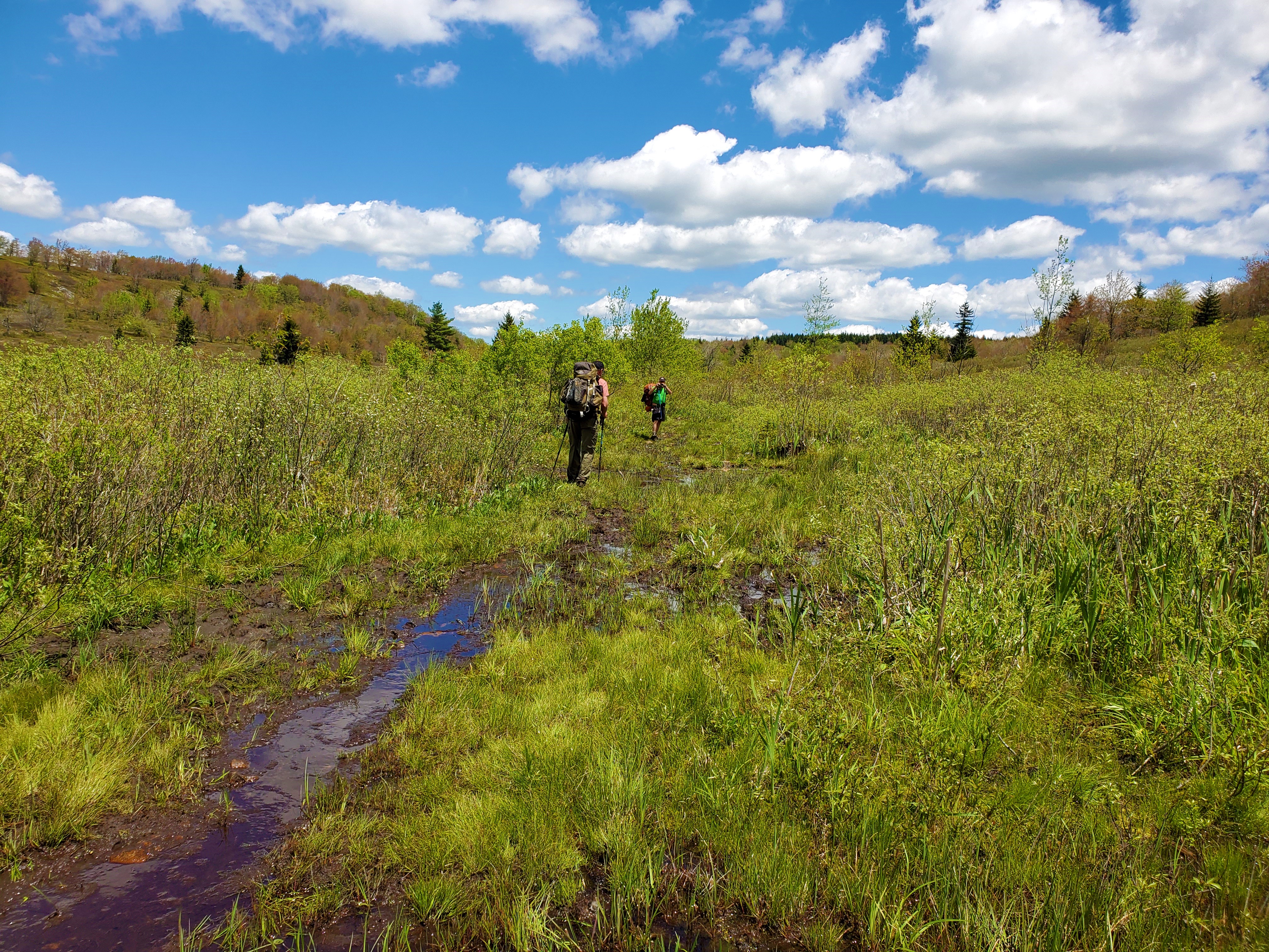
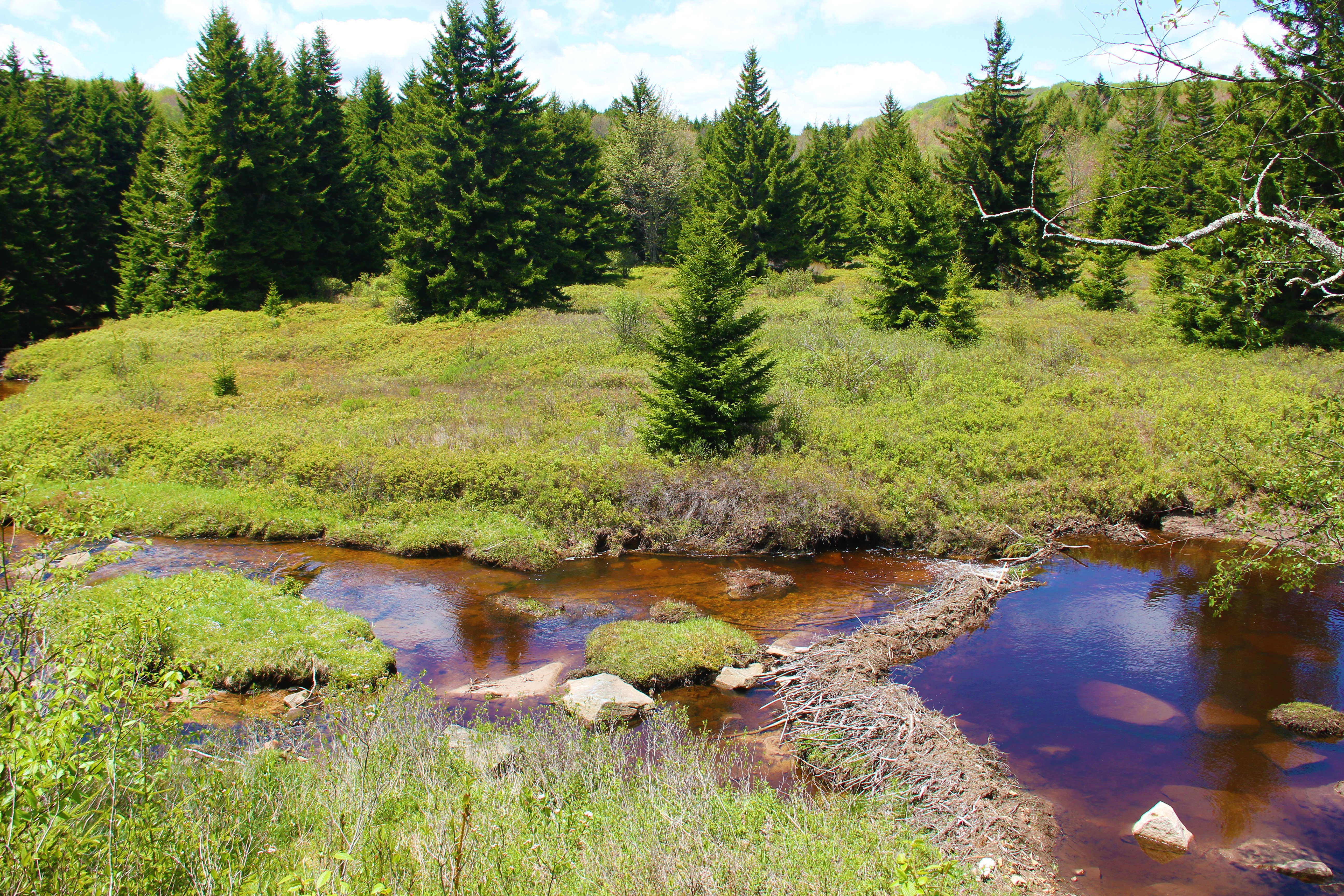
Stonecoal Run was raging where we had to cross. We humans were able to navigate the mostly dry though awkward rocks, but I had to carry Hunter across part of it.Rhodos – photo by Greg Strine.Eventually the Big Stonecoal Trail veered off to our right, and we continued onto the 1.9-mile Rocky Point Trail. Again, this trail was well-named. Though the ground was filled with rocky shards, at least the scenery was good. We contoured the southern slopes of Breathed Mountain, which were covered in giant boulders and thickets of rhododendrons. A loud waterfall raged below.ROCKSWe stopped for a breather as the trail turned around the southern tip of the mountain. Turning north at last, the trail became less rocky, and the Rocky Point Trail eventually dead-ended and we continued onto the Red Creek Trail. For a couple of miles we more or less walked an old road (or railroad bed?) that continued to contour the slopes of Breathed Mountain. Eventually we descended to the left fork of Red Creek. This was another tedious crossing where I had to lift Hunter across part of it, and at the other side we took a long break. This was a pretty area, where the junction of the left fork and main Red Creek joined, forming cascades and rushing water aplenty.Photo by Greg Strine.The trail turned steeply upward from here, climbing onto Blackbird Knob. Again, we covered a variety of forest in a short time: from the rocky-rhodo-trail, to the sloppy muddy mess among the evergreens, through the beech forests with the lush green of May, and back to the meadowlands we had enjoyed yesterday.The Beeches – Photo by Greg Strine.One common theme in the final miles of trail: the farther we went, the muddier it got. After Blackbird Knob and the 1.3-mile Upper Red Creak Trail, we turned at last onto the Dobbin Grade Trail. “Trail” is a generous way to describe it; more accurately this stretch consisted of tar-like mud, and, well, water. All of us went into the mud over our ankles at one time or another, and we were constantly jumping from grass patch to rock making every effort to avoid sinking on every step. It was exhausting.MUDMORE MUDThere were a couple of highlights. We had to wade the Red Creek once again, but it was a pretty spot. And there were a couple big beaver dams to our left in the final mile to our last juncture.We collectively breathed a huge sigh of relief when we arrived at the Bear Rock Trail juncture, and literally lay in the grass to rest. Our loop was complete.We already knew what to expect for our final mile back to the trailhead, and it was smooth sailing to the truck. We arrived at 2:30pm, 28 hours from our start.Photo by some friendly hikers we met at the trailhead – Greg’s camera.My personal opinion of the Dolly Sogs… er… Sods?
Scenery: 8 / 10
Trail Quality: 3 / 10.
 One route-finding note: At the first trail junction a mile into the hike, there is a sign with all arrows pointing south to the Dobbin Grade Trail. There are no arrows pointing the direction you want to go if doing the loop counterclockwise, as we were. To stay on the Bear Rocks Trail, just continue straight.
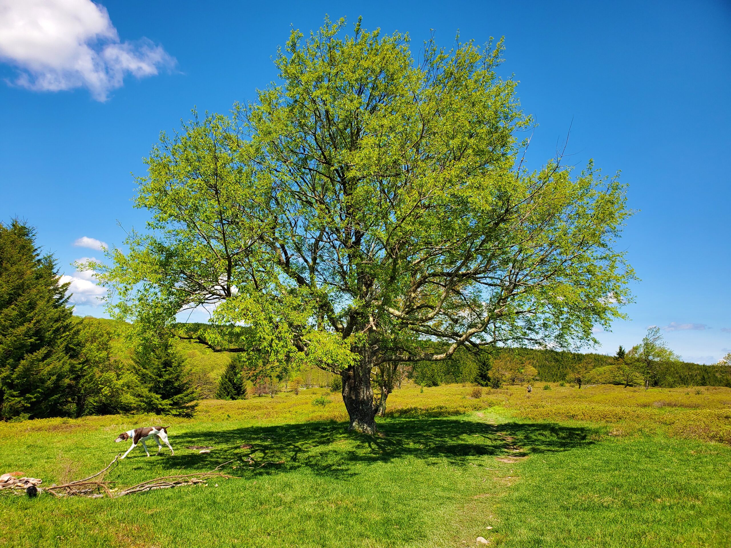
 We had a scenic lunch break, then followed the Raven Ridge Trail into a thick evergreen forest, emerging before long on the western plateau. With expansive views to the south and west, we were now atop the well-named Rocky Ridge, at the northwestern most corner of the wilderness.
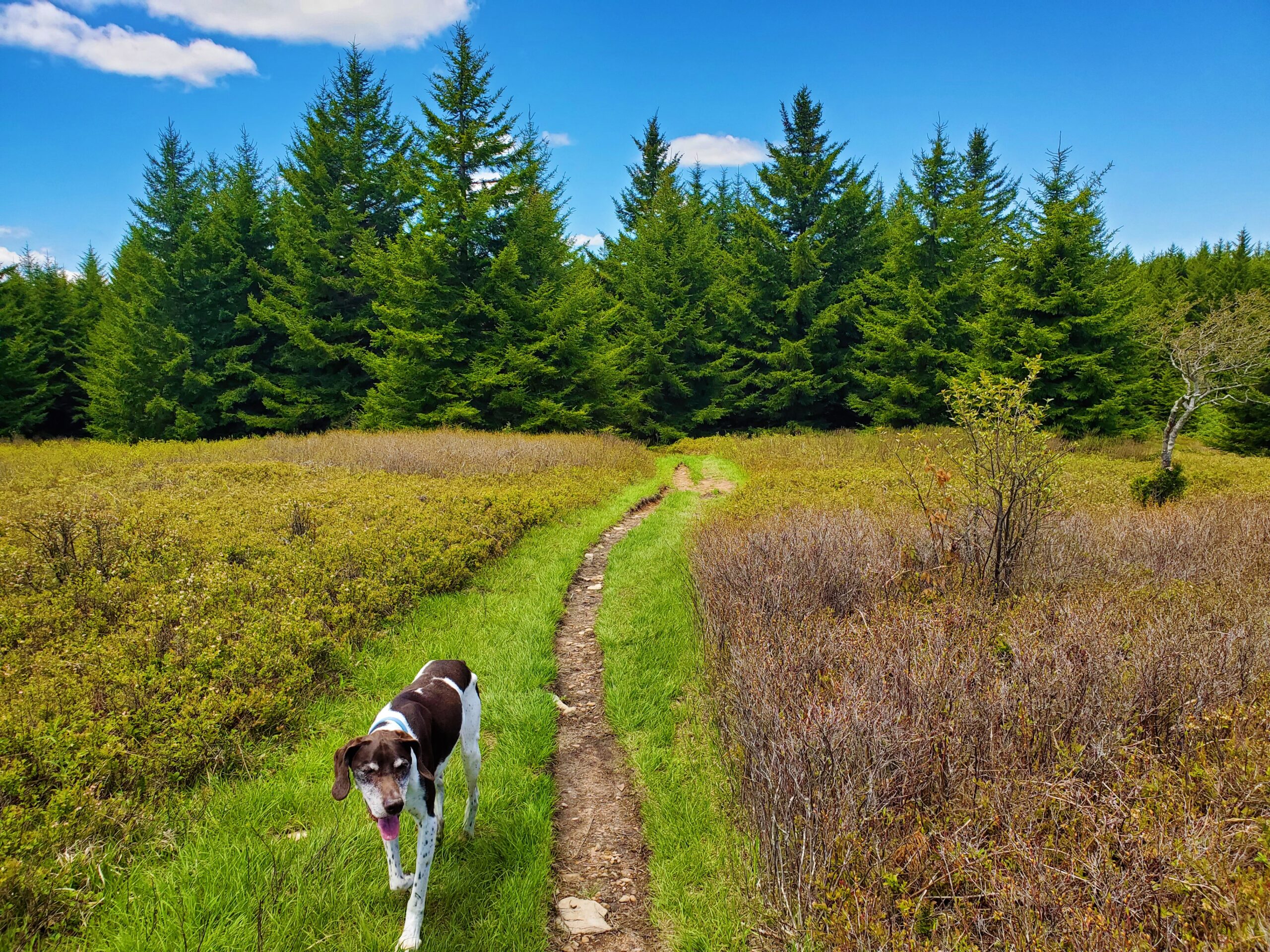


 We were relieved when the trail changed once again, to a pleasant walk along a very old railroad bed. At the bottom, now eight miles into our day, we passed some fantastic camping spots among the spruce trees.
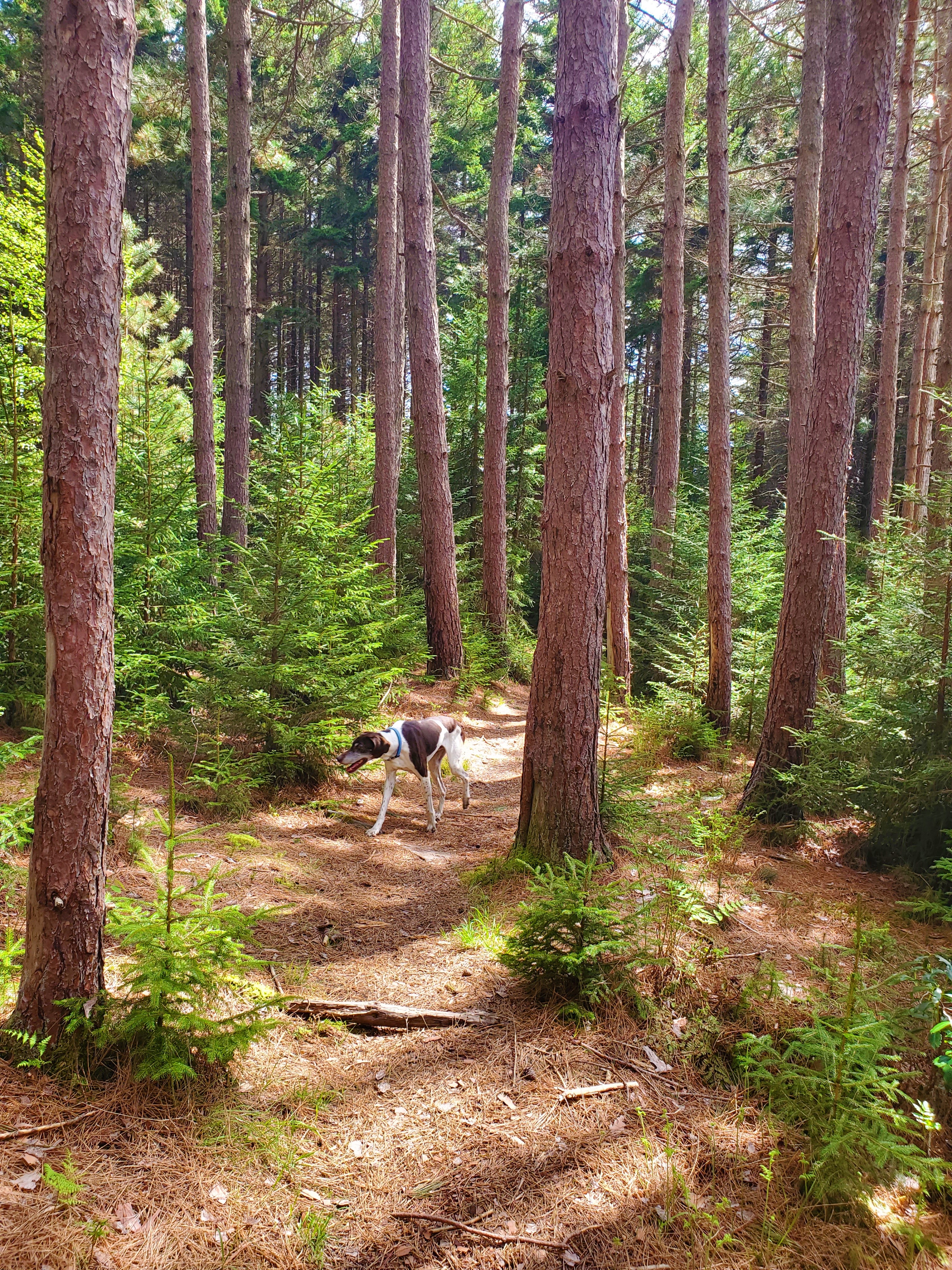 We wanted to try to get a couple more miles done before stopping for the day, so we aimed for the next juncture with Stonecoal Run. After some more good trail through spruce trees, the last mile back to the creek was a mud pit. I ran ahead of the others to claim the camping spot, and I was glad I did, because a lot of hikers converged on the area just after us—everyone beginning to look for a camping spot.
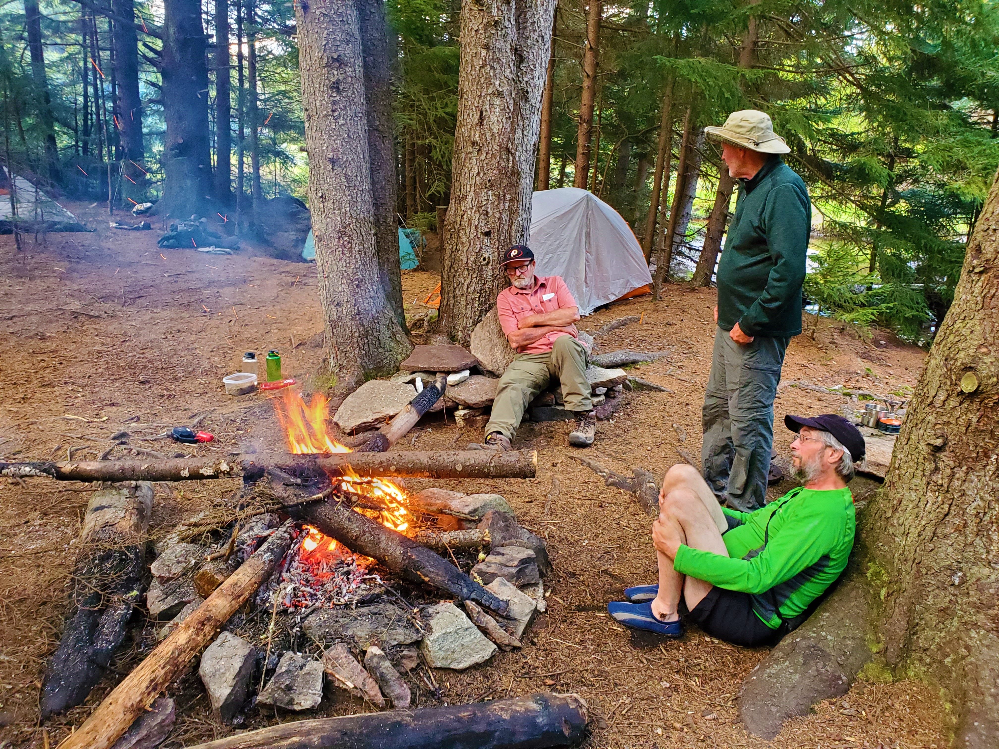 It was only 4:30pm, so we had all evening to set up camp, eat our Mountain House meals, and make a fire.

 We collectively breathed a huge sigh of relief when we arrived at the Bear Rock Trail juncture, and literally lay in the grass to rest. Our loop was complete.
 We already knew what to expect for our final mile back to the trailhead, and it was smooth sailing to the truck. We arrived at 2:30pm, 28 hours from our start.