Despite having no major attractions, three things made this loop hike notable for me:
1. Very little rockiness—compared to almost any other trail in PA.
2. Well-maintained path—also better than many trails throughout PA (though not always well-blazed or marked).
3. No people! This trail is known for runners, for 15k, 25k, and 50k loop options—but sees very little hiking due to the other much more popular trails not far away, such as the Grand Canyon of Pennsylvania. We didn’t see anyone else during the entire hike, except for some maintenance workers at road crossings. I loved the solitude.
Green Monster Day One: Straight Run Trail to Horse Run Trail (3.6 miles)
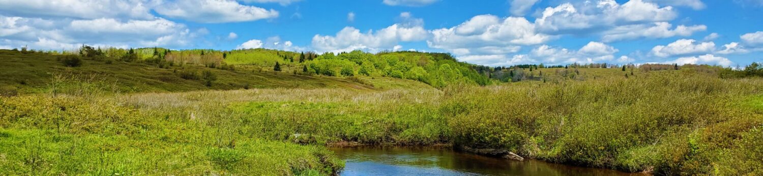
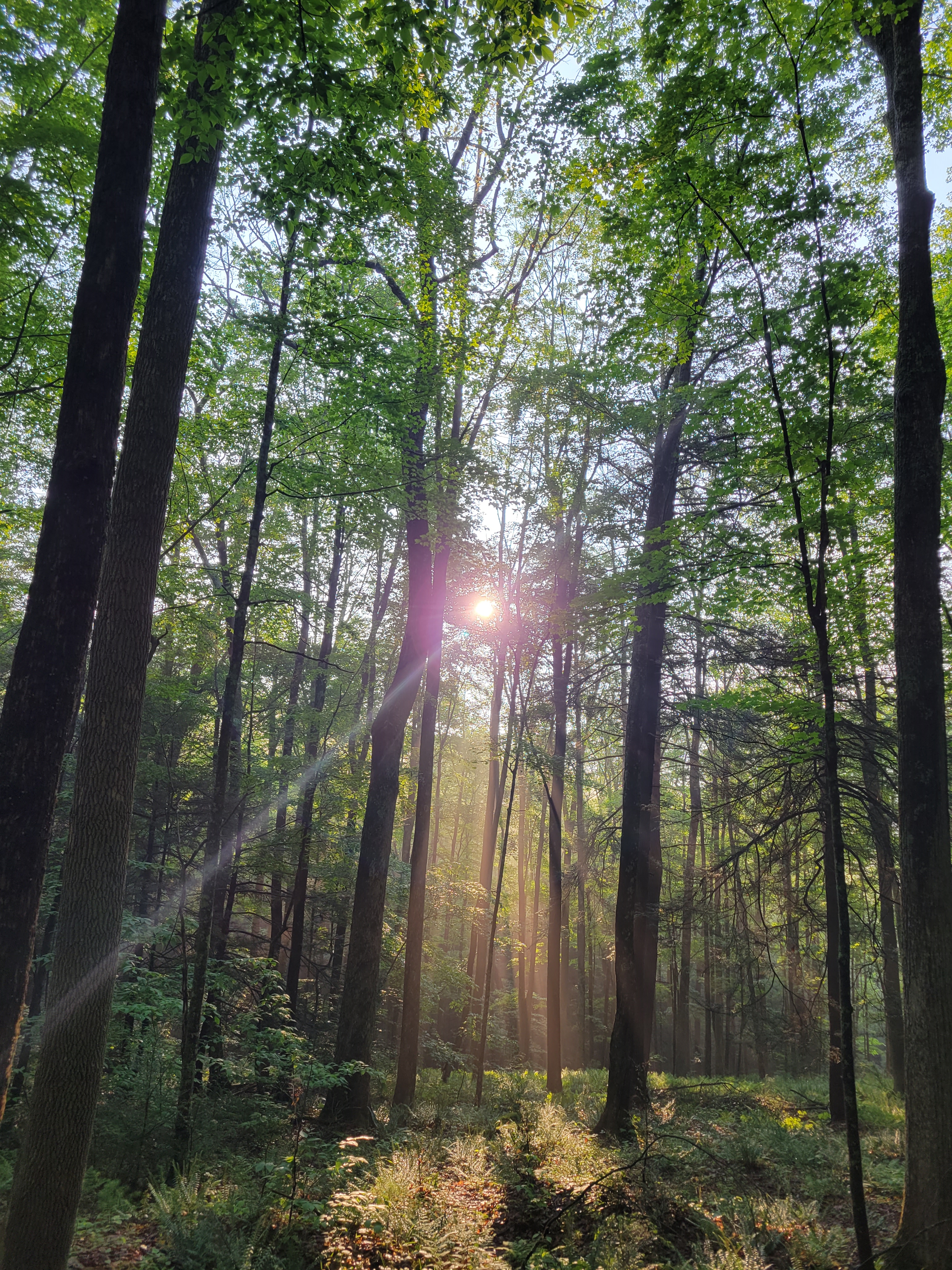
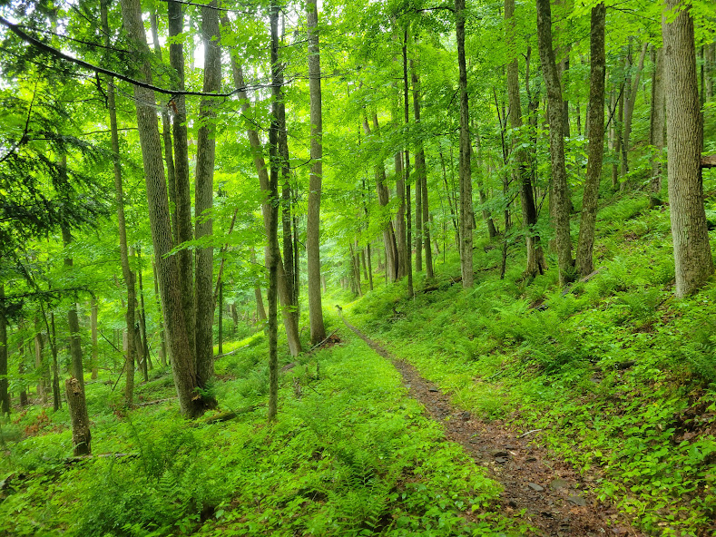
We started hiking at 6:15pm, along the scenic Straight Run Trail. Everything was wet, since it had been raining for much of the day, but the weather was nice and cool and dry this evening.
We somehow missed the Deer Trail entirely, and followed a logging road uphill for a while until we were sure we missed the turn. Using the map and GPS, we were able to contour around the hill and find our way without having to backtrack. The Deer Trail climbed steeply up over the hilltop and joined the Stone Trail, a grassy old road the followed the flat mountaintop for quite a while.
This was a pretty forest full of mountain laurel, all in full bloom. We turned down the Horse Run Trail at one point, continuing through more endless jungle of blooming mountain laurel. There was no sound except the birds and occasional light breeze, and despite having only hiked a few miles, this area felt extremely remote. We turned and hiked downhill along the Horse Run Trail until about 7:50pm, when we decided we should find a spot to camp. We settled on a spot just above the creek bottom; Greg strung up his hammock and I got my tent set up, and I got a small fire going despite everything being soaked (the white birch bark and dead hemlock branches came in handy). This was Rex’s first night on the trail, but eventually he stopped chasing chirping chipmunks and joined me in my tent for the night.
Green Monster Day Two: Horse Run Trail to Lower Bear Wallow Trail (18.6 miles)
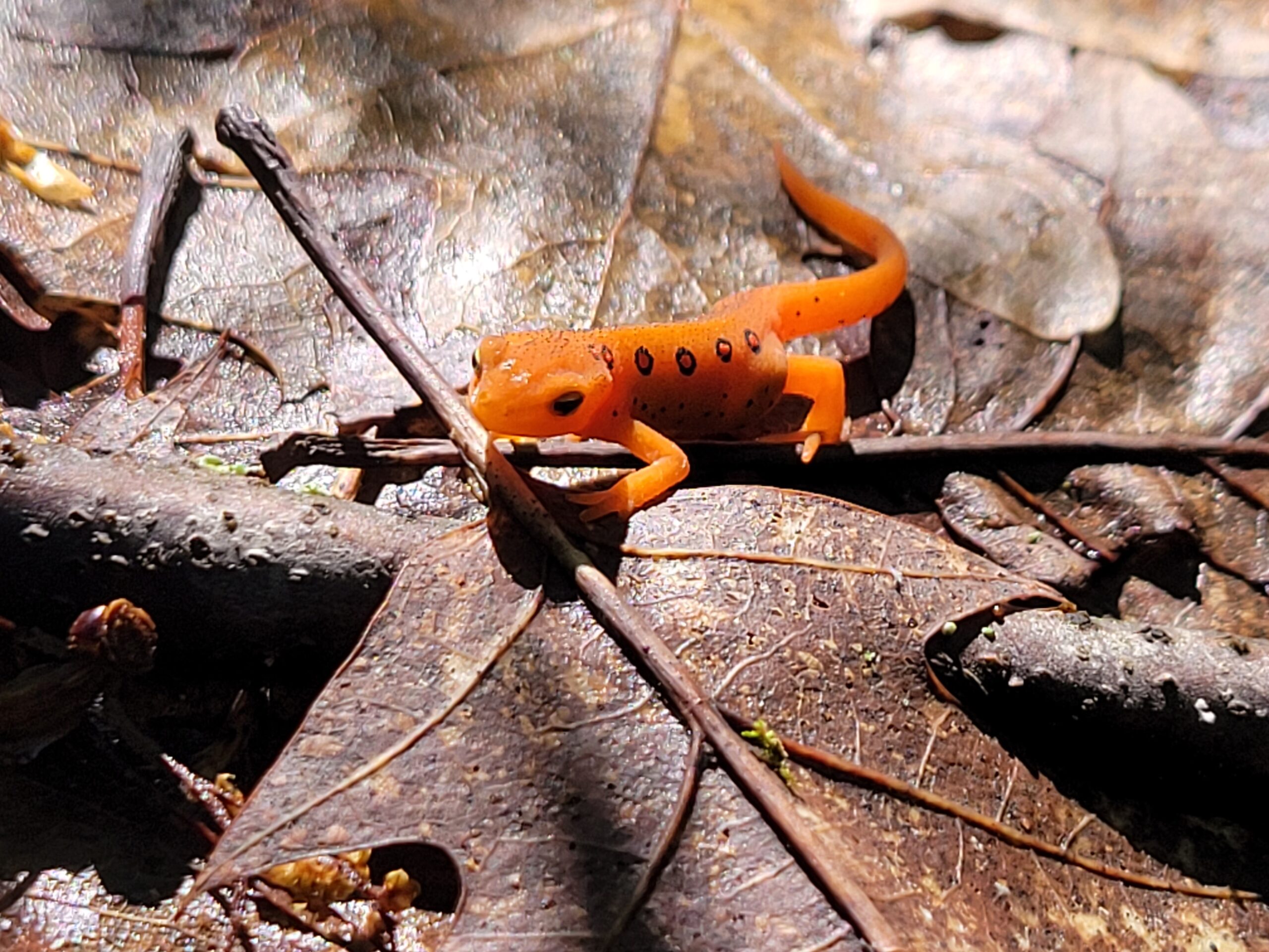
 There were some highlights early on today. The sun was filtering through the trees in the calm, wet morning air, and there were little orange newts everywhere along the trail. Literally, it was hard to avoid stepping on them sometimes.
We hiked:
– Horse Run Trail,
– Canada Run Road,
– Oil Well Hollow,
– Bark Slide Trail, described in the 50k run guide as “a 0.5 mile long grueling climb with 550 ft ascent.” Correct. Hardest part of the day.
– Matson Road,
– Down the steep Lost Trail,
– Continued up Oil Well Hollow to top,
– Crossed Baldwin Run Road, down Carpenter Trail to bottom (creek was bone dry),
– Followed Spoor Hollow Road left,
– Turned right up “Stinger Hill” on Plantation Trail. Steep, but not rocky like Bark Slide. The Plantation Trail was flat for a while. Rex had a standoff with a whitetail buck, which was fun to watch; otherwise this long stretch was great for making time, and pretty much all blended together,
– Then turned down, crossed Baldwin Run Road,
– Jim Close Trail to Birchstill Trail, and more uphill to Broad Ridge,
– Crossed Broad Ridge, then down “Frankenstein’s Forehead.” This was another steep and ugly downhill, and also where I saw thefirst of four snakes of the da
– none venomous,
– Turn right onto Straight Run Trail, and followed a pretty stretch up along the creek,
– Long uphill up Wildcat Hollow to the top of South Ridge,
– Scotch Pine Trail / road (more route-finding issues here), and onto Hesselgessel Road.
This was an interesting area, described in the aforementioned 50k race guide:
Isn’t it so much fun to say Hesselgessel? James Hesselgessel had a millstone quarry at this site in the 1830’s then abruptly shut down production with a partially finished millstone left as a landmark for you to run by. You will also run over top of the large unique deposit of conglomerate, but caution is needed to avoid falling into the crevices in the formation.
The day was getting long. Eventually we turned left onto “Right Asaph Road” and down into the hollow via Lower Bear Wallow Trail. After 18.6 miles on the trail (and after 5ish miles with no water), we finally arrived at a beautiful creek crossing and set up camp for the night.
Green Monster Day Three: Middle Ridge Trail to Darling Trail (12.2 miles)
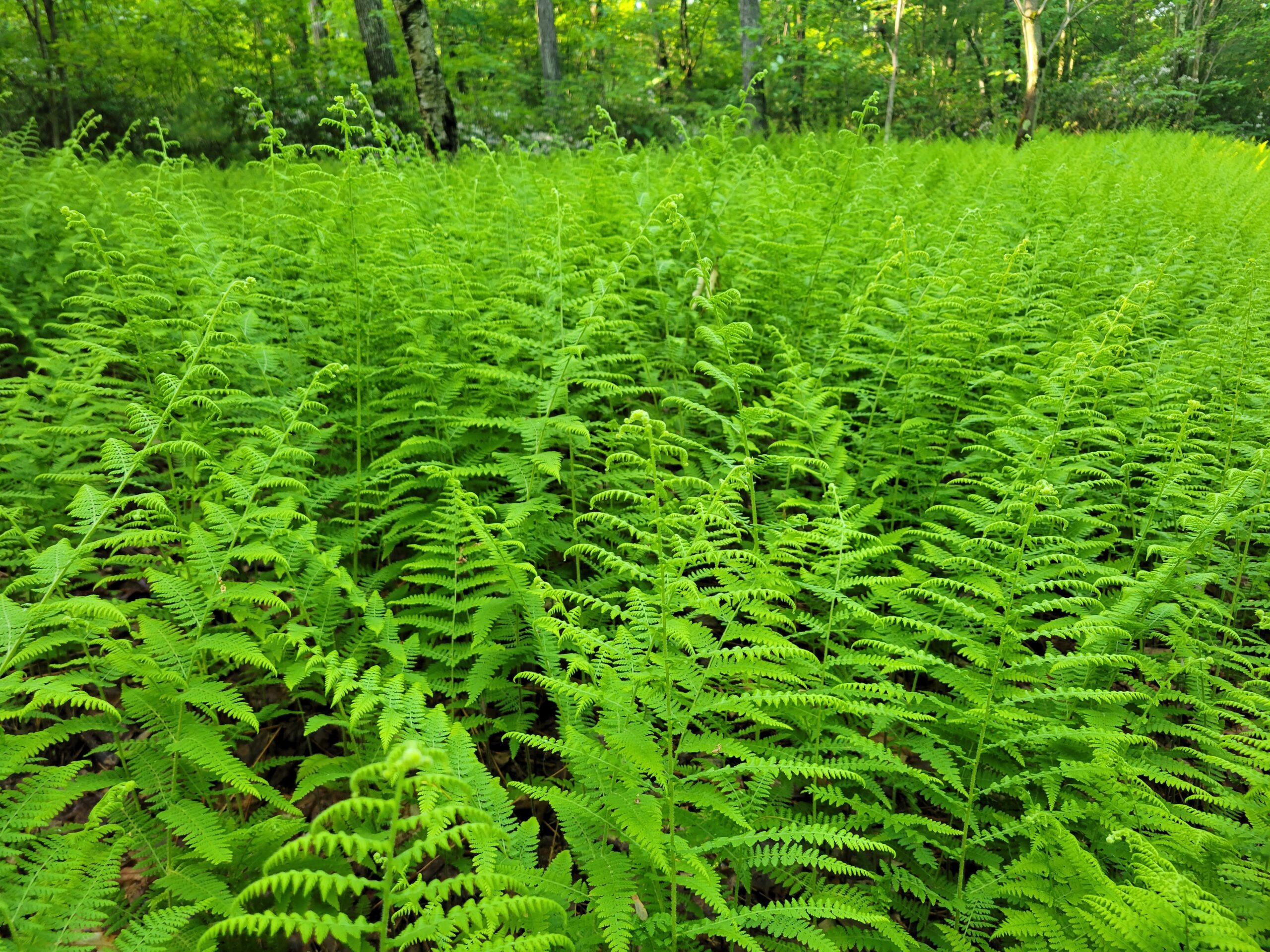
This morning started on the Middle Ridge Trail, passing through a swampy area with endless ferns. Soggy at places, but nowhere near as bad as, say, Dolly Sods.
The Big Tree Hollow descent took us across Left Asaph Road at the bottom, and then we had several creek crossings over the next couple miles. Greg’s one foot went under at the first crossing—but it would end up being moot, as we’d both get drenched later anyway.
We had a long uphill on Left Frying Pan Trail to Goodall Road, and after reaching the southernmost point of the loop, turned north onto the Goodall Hollow Trail. This gradual descent took us from 2200 to 1300 feet, down through beautiful evergreen forest all the way to the bottom of the valley.
Finally, we crossed Asaph Run, the biggest flow of the trip. I had been dreading the next uphill, another 900-foot climb up the Scotch Pine Trail to the ridgetop, but it ended up being a nice grade the whole way. The slopes above and below us were quite steep, and Rex made me nervous as he ran back and forth the entire time, chasing birds and chipmunks.
The off and on drizzle of the morning turned into a steady rain as we started down the final stretch, the Darling Trail. We passed first through some more groves of blooming mountain laurel, then continued through a brilliant green fern forest, down, down, down—all the way to the road. We finished with a half-mile road walk back to the car, where we found some dry clothes, and the sopping wet dog settled in for a four-hour nap.