30 miles
 Full disclosure: this is probably my favorite hike in Pennsylvania thus far, and high on my list of east coast trips. I thoroughly missed my Best Bud, Hunter Dog, who has been my most loyal hiking partner for the past 13 years, but this trip proved a rejuvenation for the soul nonetheless.
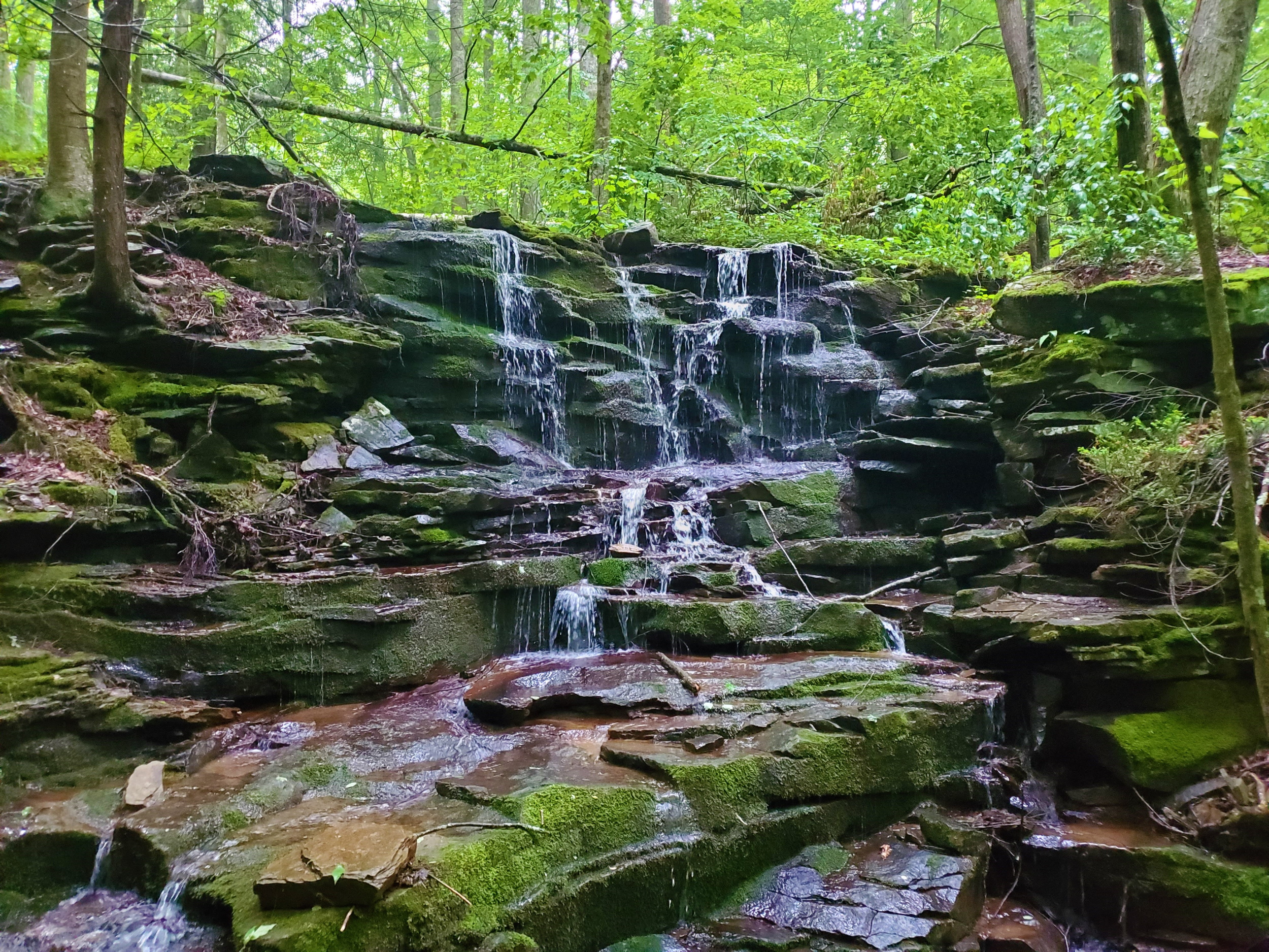
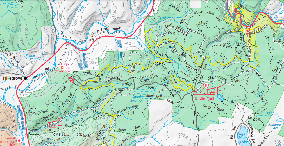
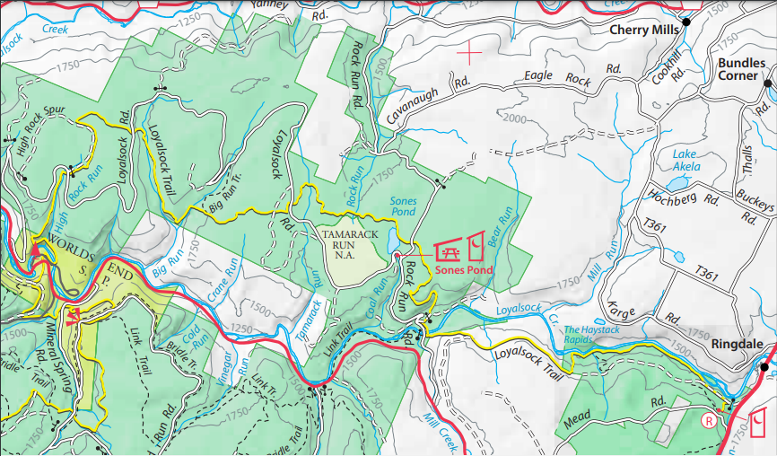
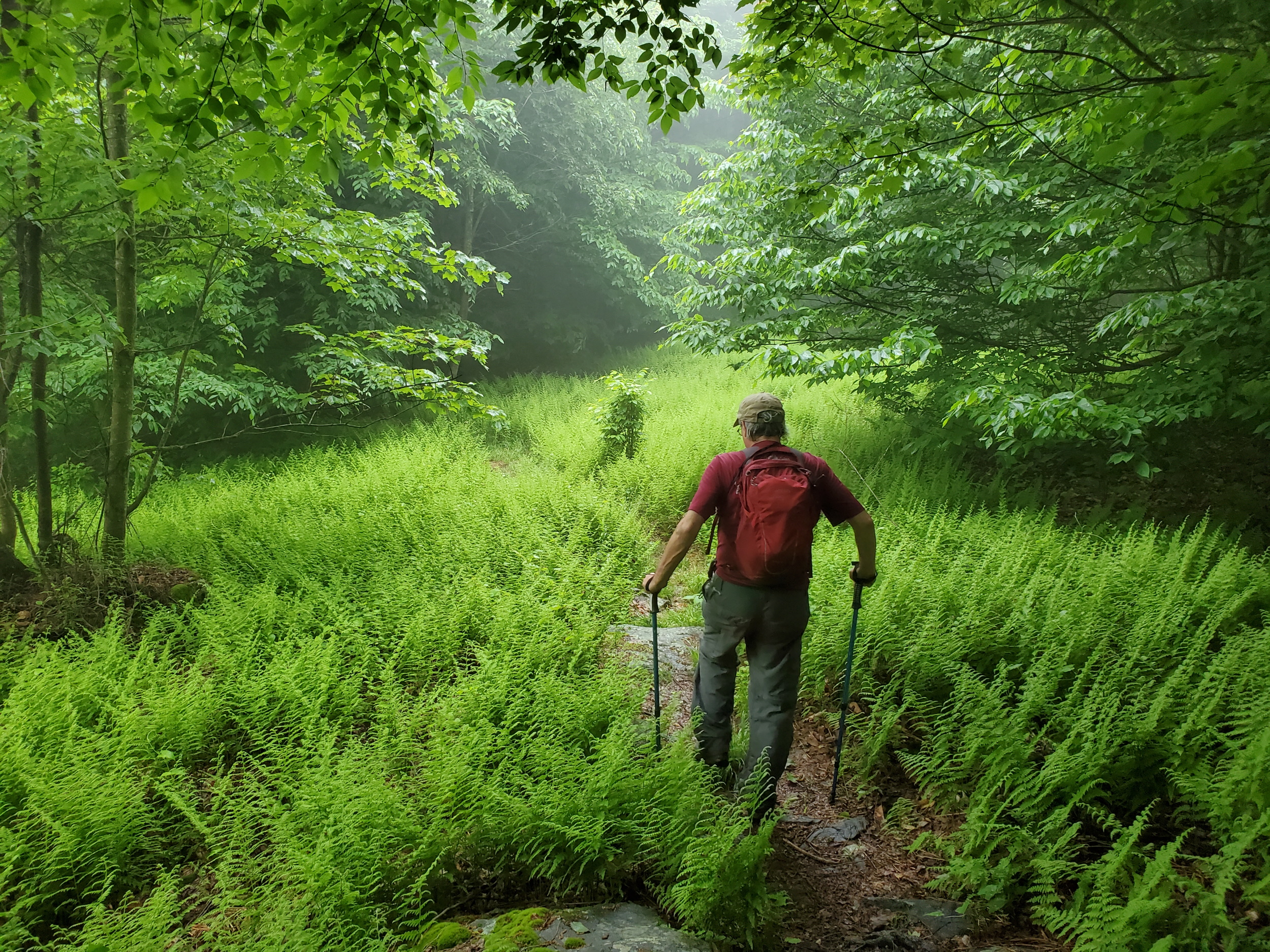
Greg and I began our two-day hike at High Knob, completely fogged in without any view. Including the road-walking to the beginning of the Loyalsock Trail, we would do 16.5 miles to World’s End State Park today. In all that mileage, the only other hiker we would see was a guy putting out ribbons for this weekend’s race. …Race? Neither of us had heard of it before, but the World’s End Ultramarathon is an immensely popular race in its seventh year. Three hundred people run it each year, and when registration opens up it fills up within minutes every time. Who knew?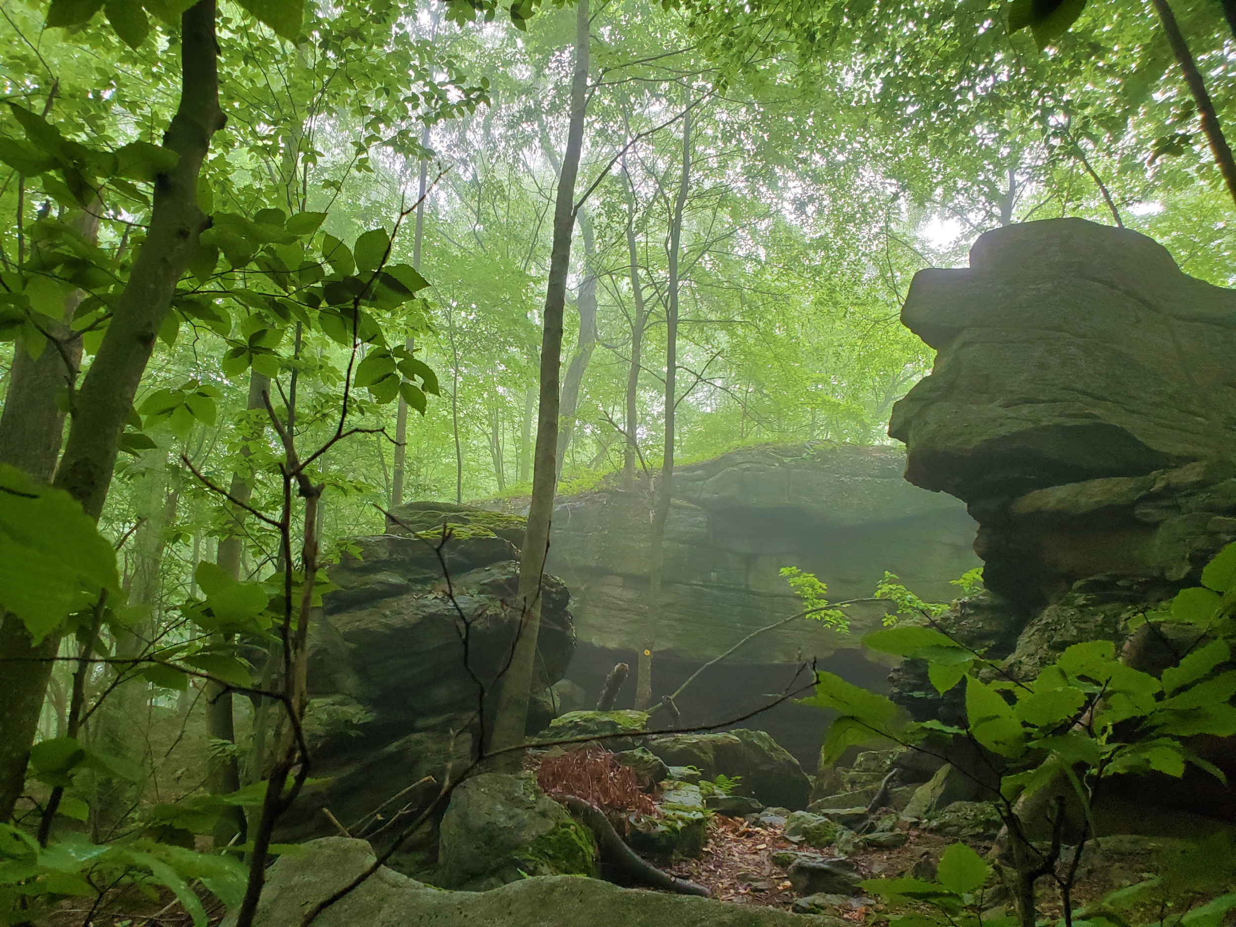
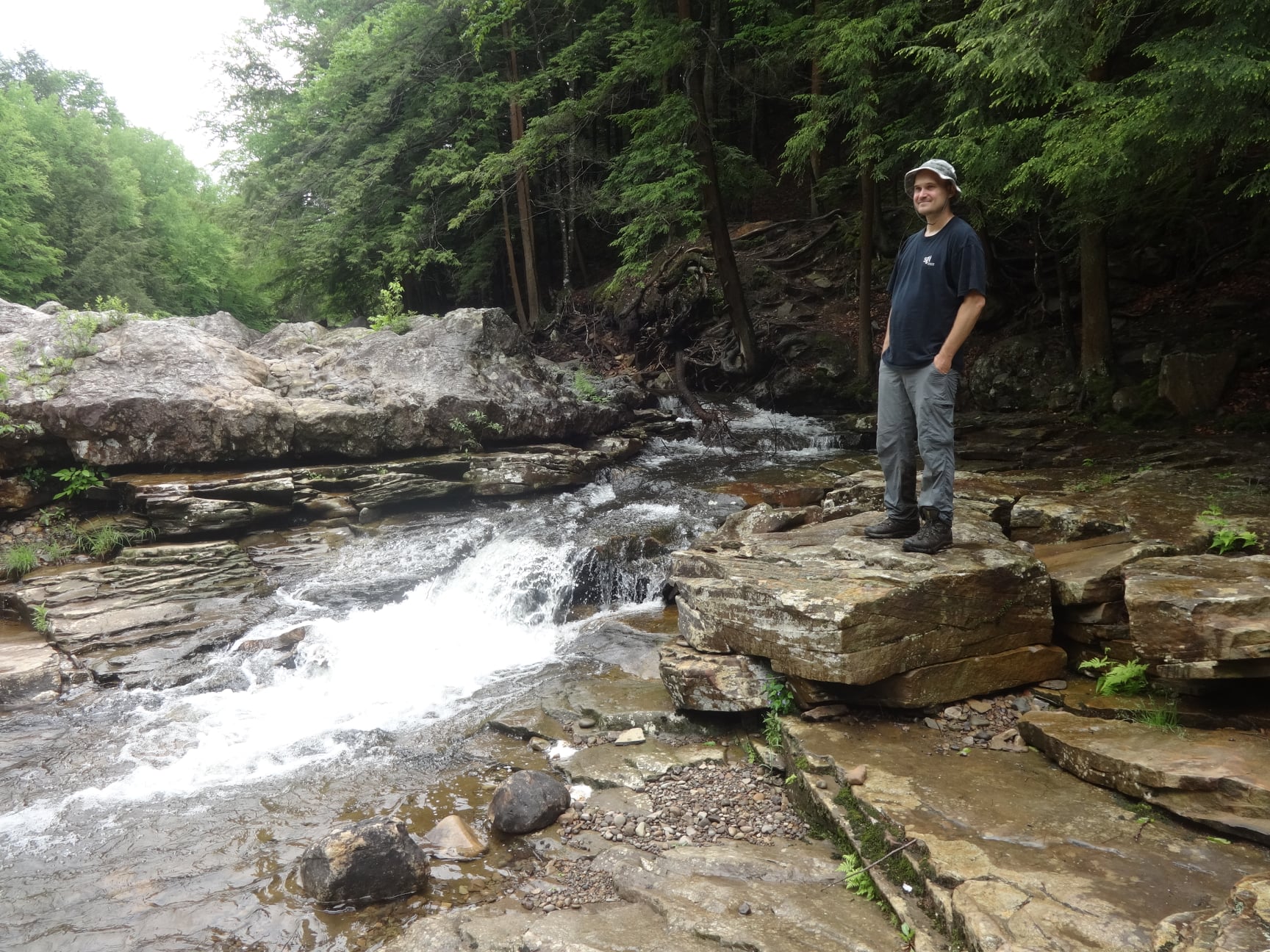
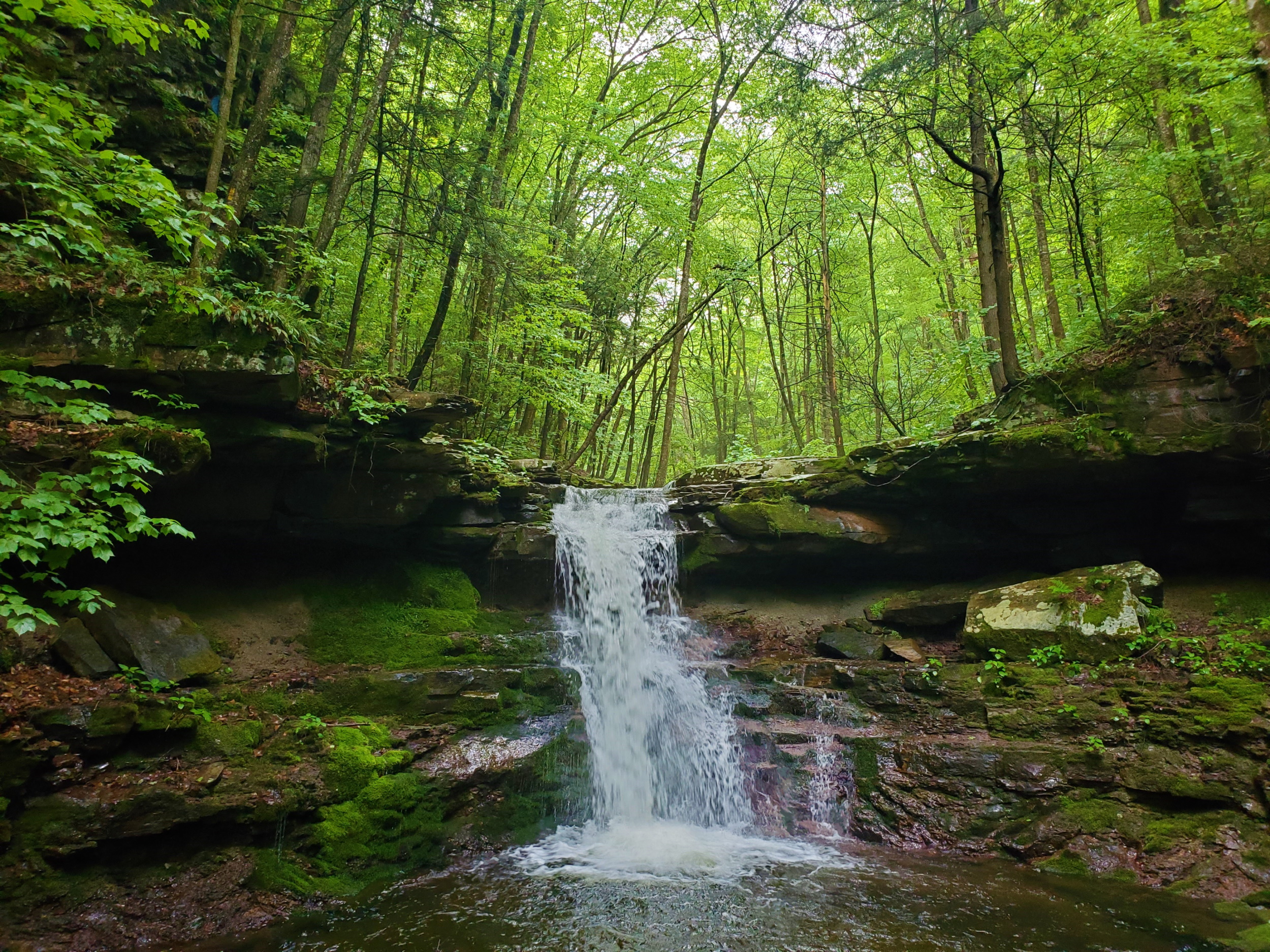
 Then, a series of waterfalls: Lees Falls (the biggest of the day), some unnamed cascades, and a ladder descent to enjoy Rodes Falls. Of all these, the simple cascades over layered rock was my favorite, though pictures don’t begin to do the place justice.
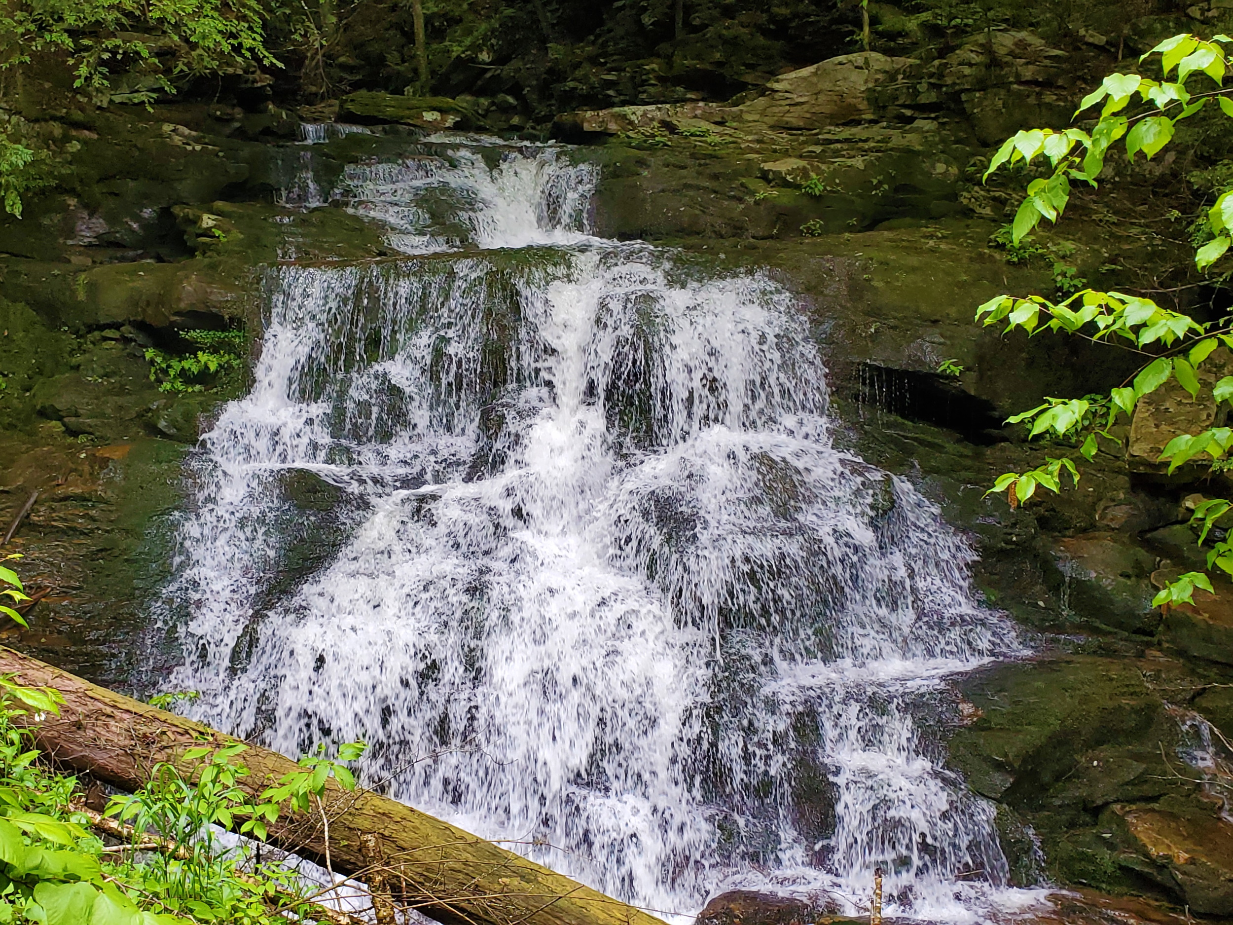
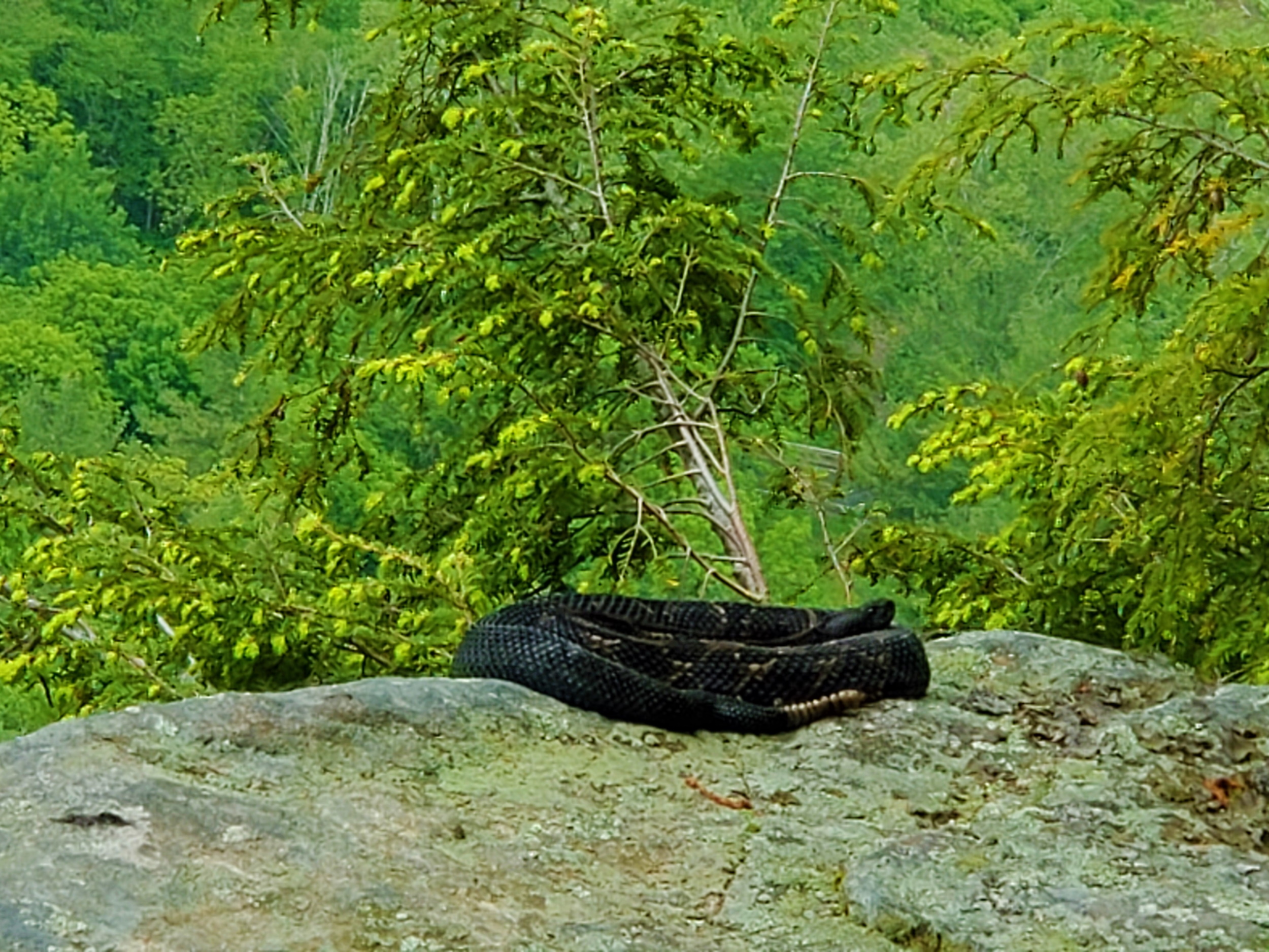
 There were two more highlights before reaching Coal Mine Road. The Lower Alpine Vista, where we saw a good-sized coiled rattlesnake lying on a rock, enjoying the view… And the higher, Alpine Vista, complete with rough-hewn wooden benches and a firepit, overlooking the valley.
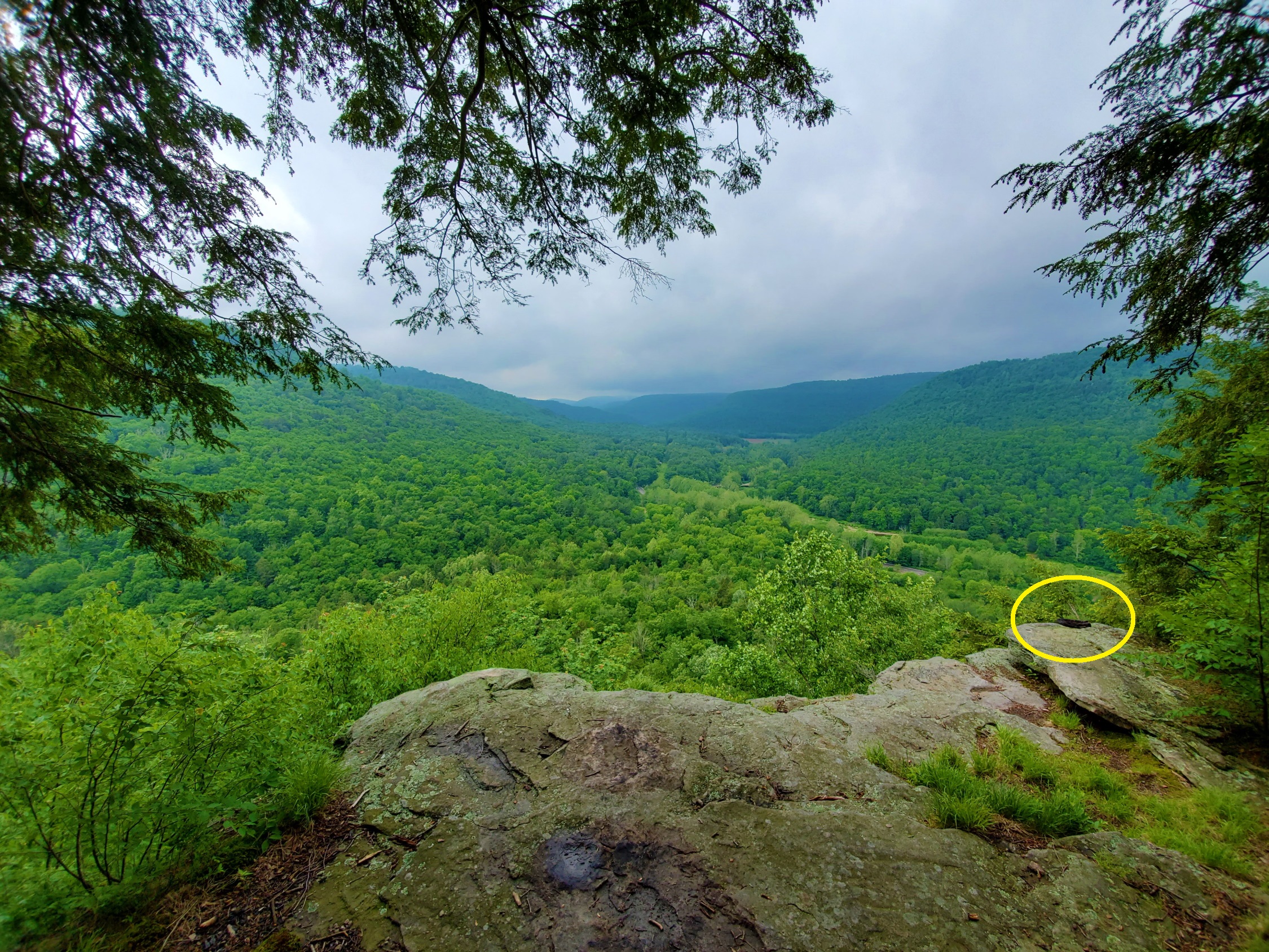
 At the first crossing of Coal Mine Road, there is adequate room for one or two cars to park at a small pull-off. I will return here someday to redo those three miles.
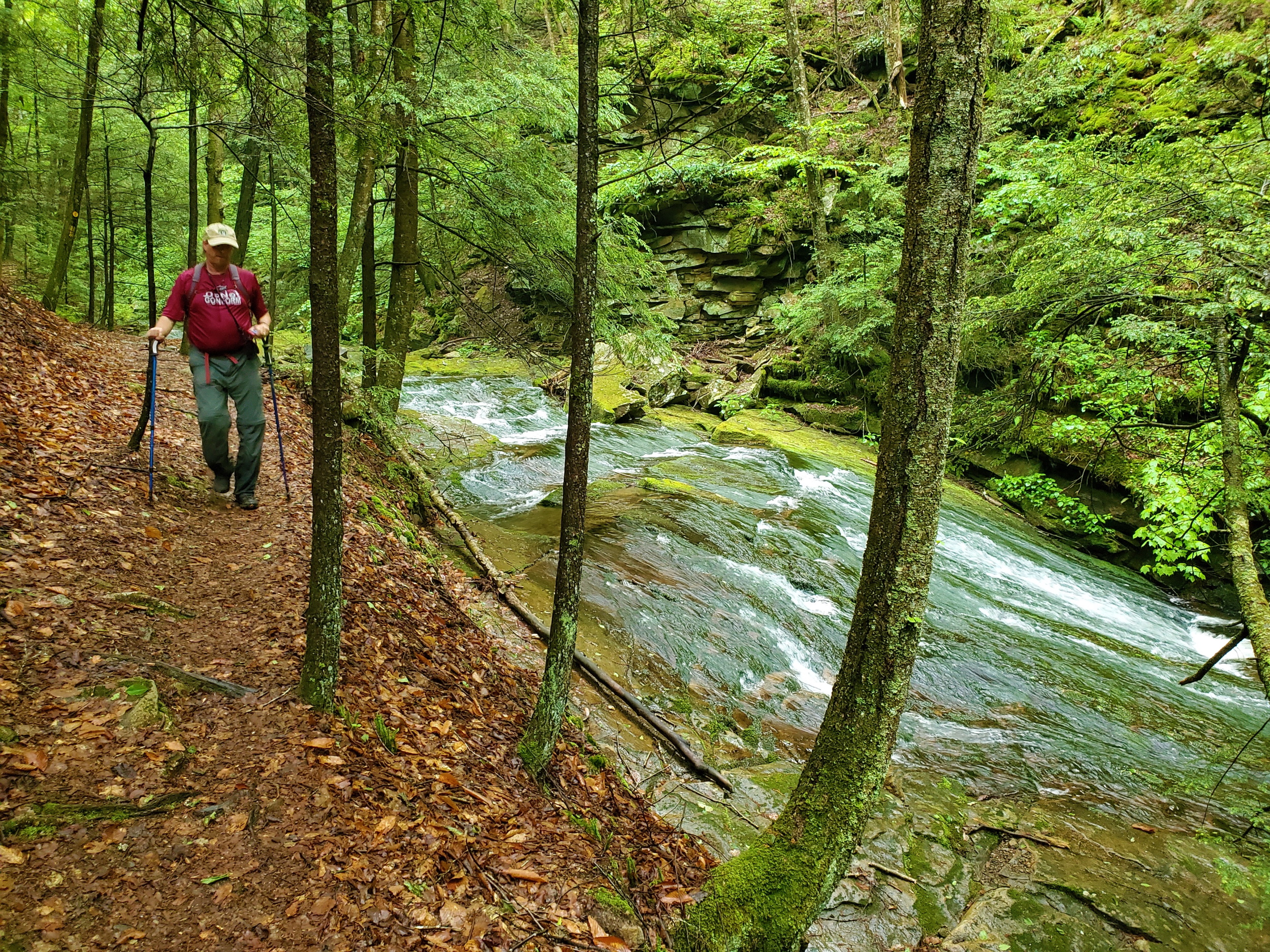
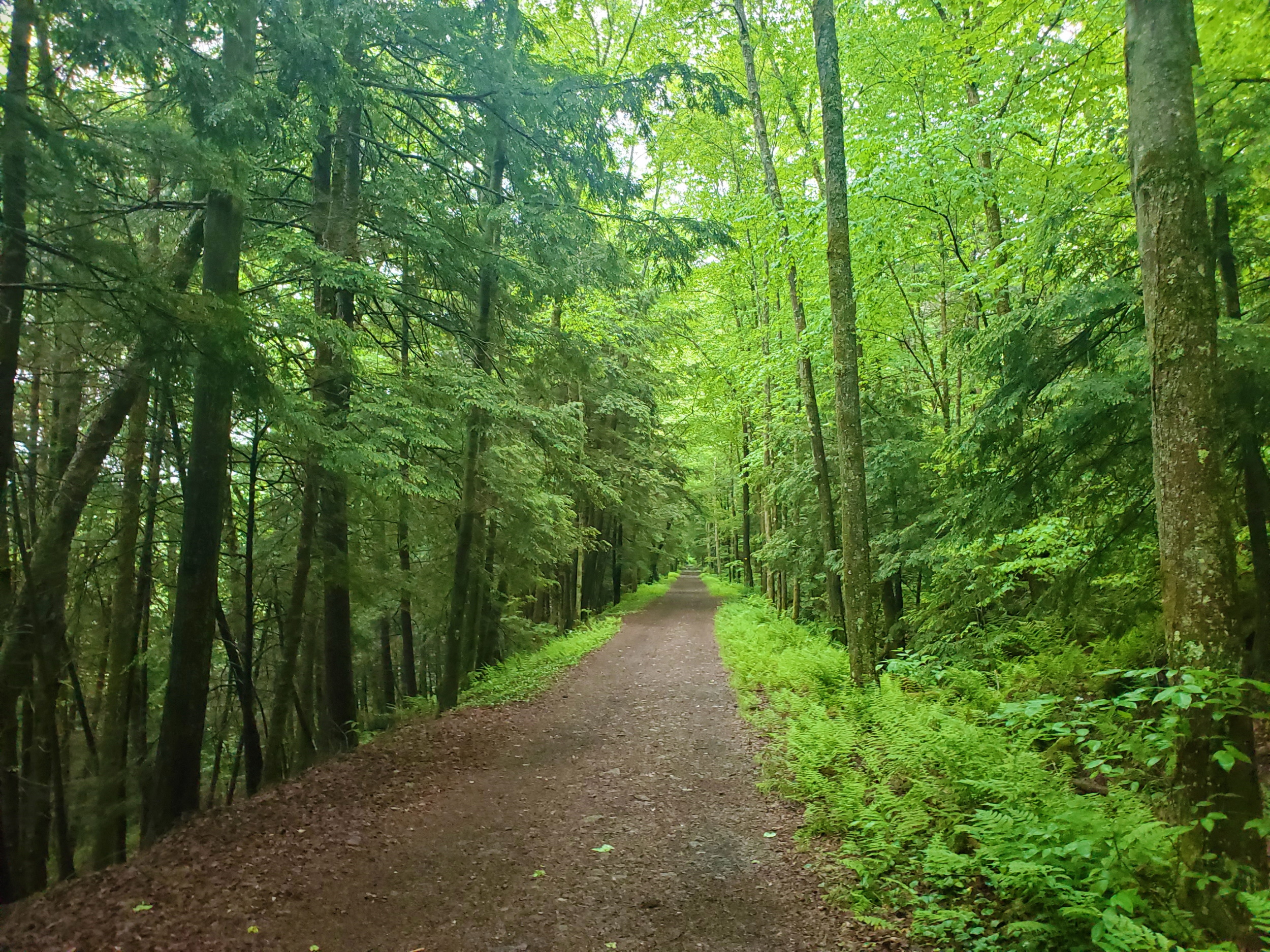
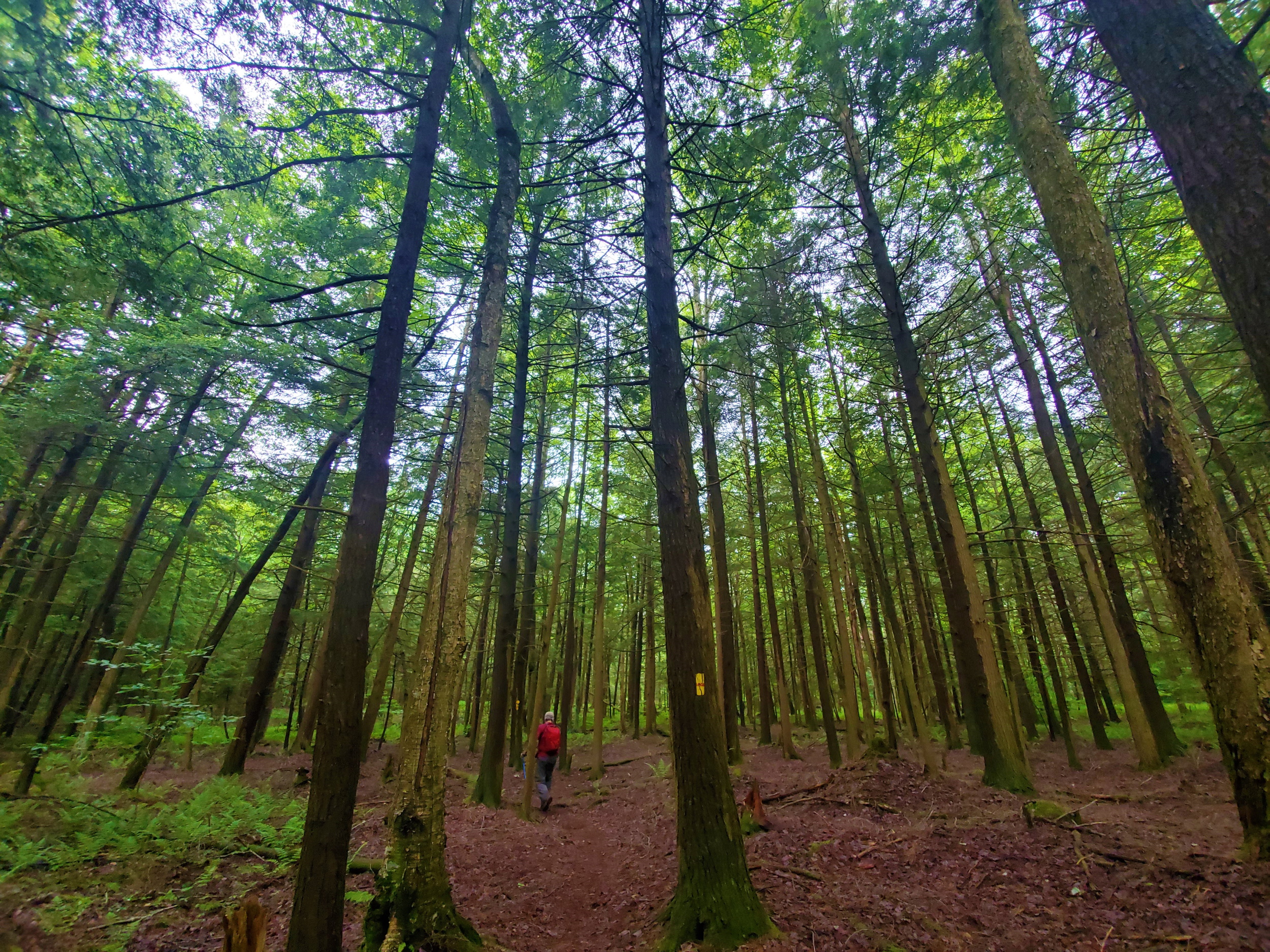 But for today, we still had many more miles to go. We followed the benign trail through the pleasant woods all the way to the opposite end of the Coal Mine Road loop, where it’s northern terminus meets up with World’s End Road. Crossing over the road, we descended to another scenic creek, Double Run, which we followed for a while before the trail started climbing again.
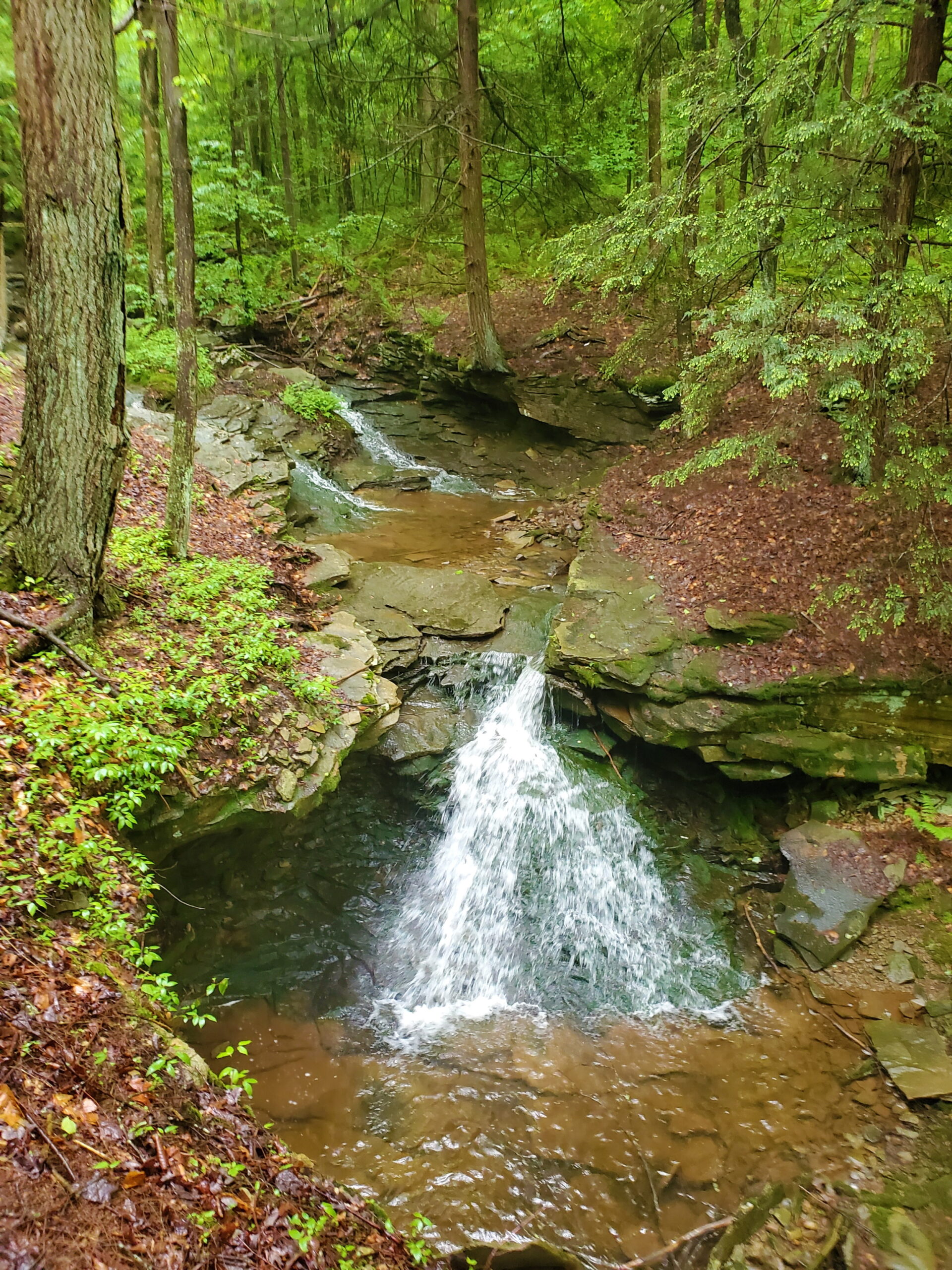 Eventually we arrived at the Canyon Vista, where we had a good look down in the steep valley we would be calling home for the night. It was a lot of down, and then up, and then down again after this, until we finally arrived at the visitor center in World’s End State Park at 5:45 this evening.
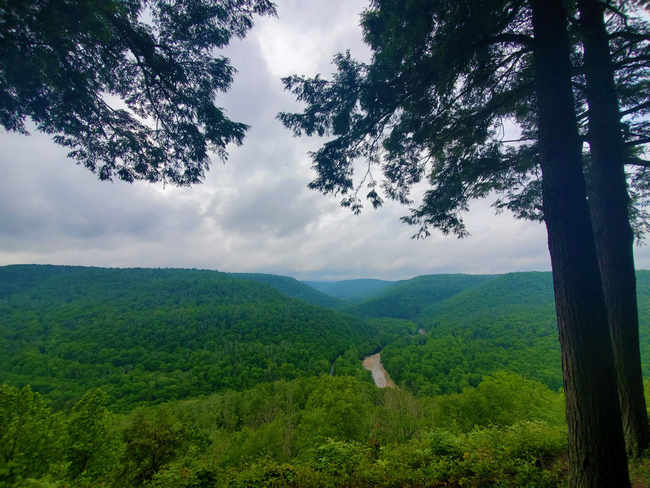 It had rained off and on throughout the day, but it felt good and didn’t bother us at all. The food vendor wasn’t open of course, so we claimed our camping spot, then enjoyed our Mountain House meals and read about tomorrow’s trail as the evening wound down.
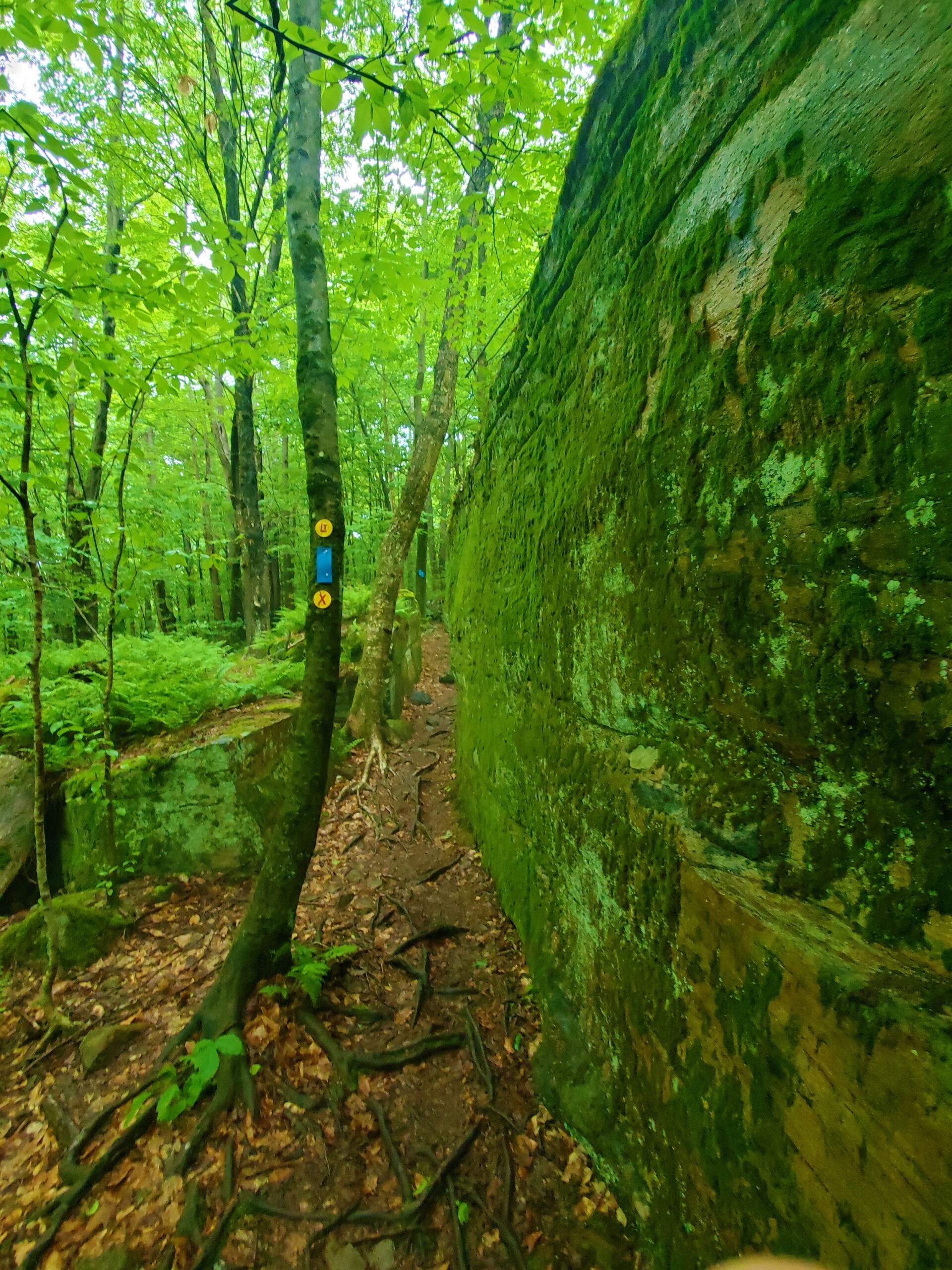 Day Two
After vehicle placement at the eastern trailhead, we started our hike at 7:15 this morning from the parking lot at the World’s End State Park visitor center. We hiked 13.3 miles to my car, starting out across the bridge and then up a steep, wet rocky mile to another minor overlook. This was the steepest and hardest mile of the two days.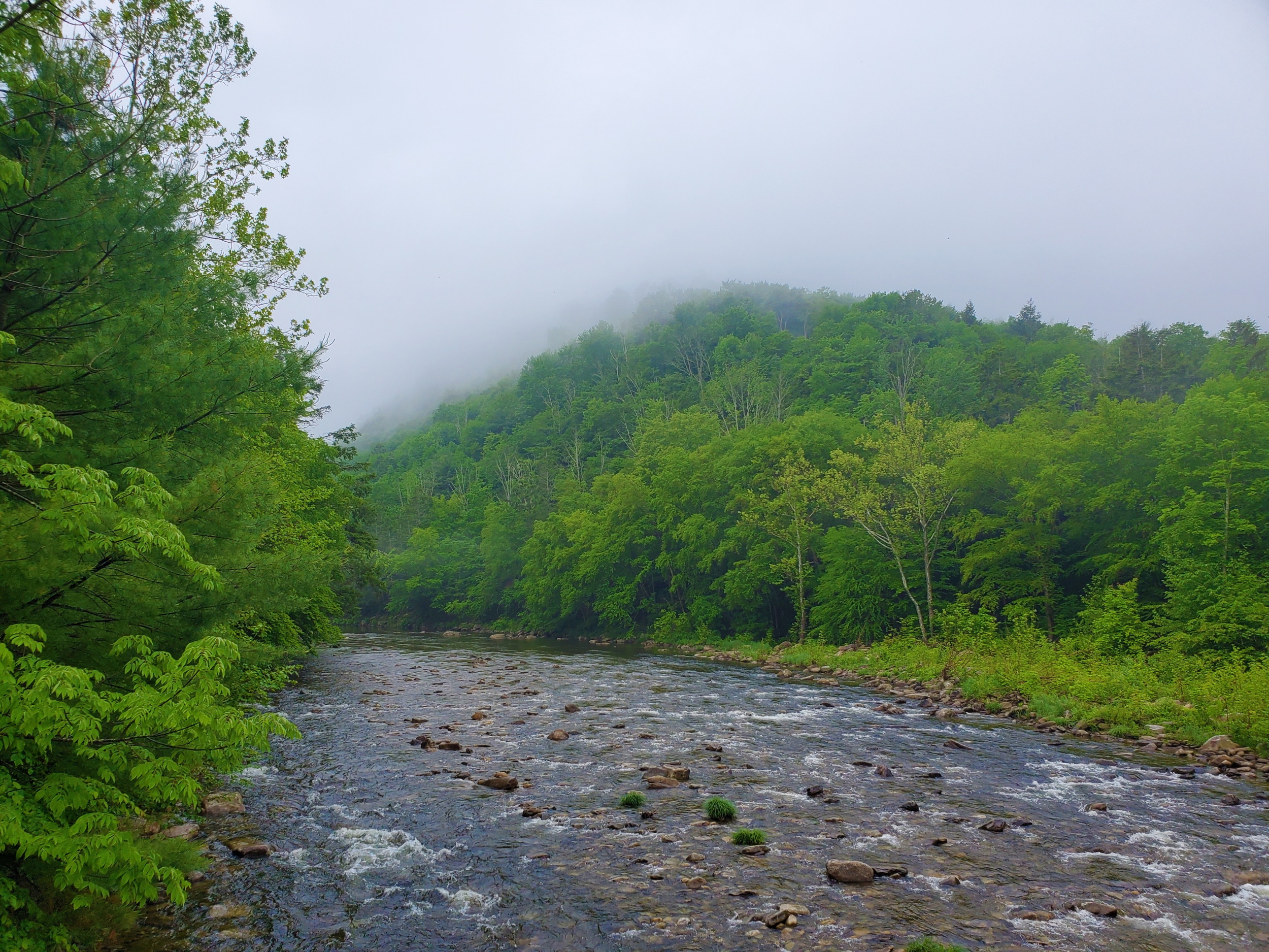 Above the overlook, the trail leveled out and followed an old woods road past yet another unnamed waterfall along High Rock Run.
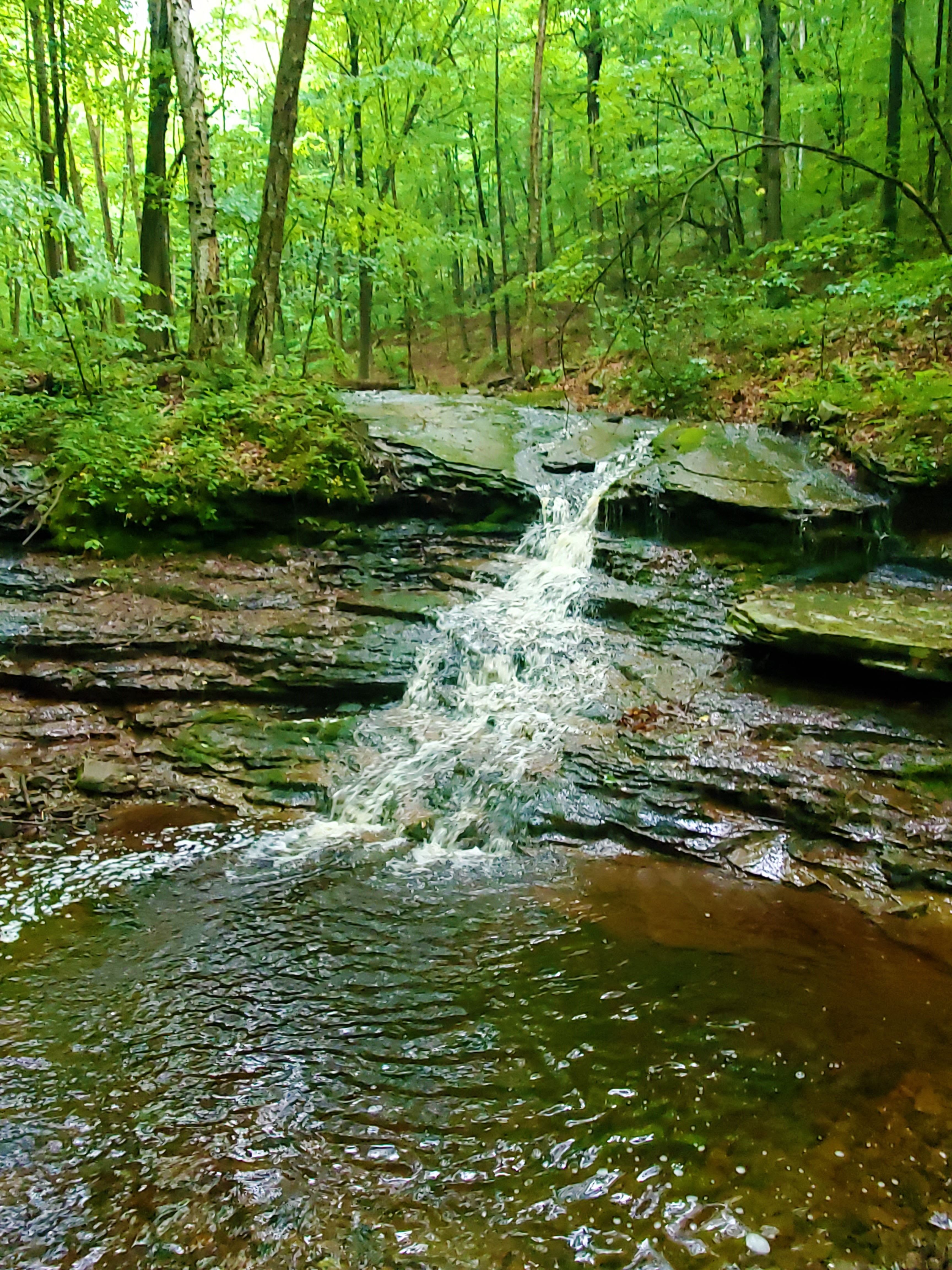 After this, much of the hiking throughout the middle of the day was relatively flat, crisscrossing over the dirt Loyalsock Road on a high plateau.
The highlights included Alpine Falls, the upper falls above this, and a lot of healthy hemlock forests—a rare thing in Pennsylvania these days, due to the devastating adelgid infestation.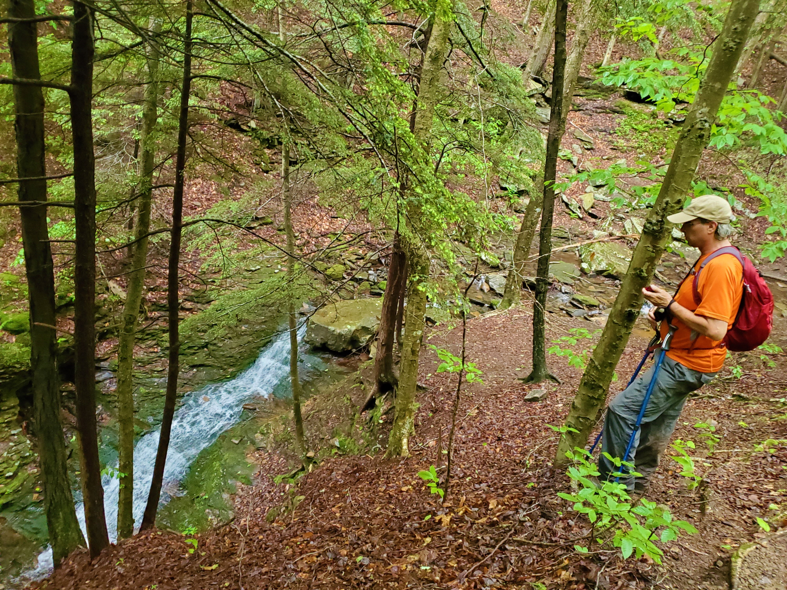 We crossed Tamarack Run at a place called Ann’s Bridge (which no longer exists). This was a nice quiet, remote-feeling woods, and soon after the rivulet we passed by some rock outcroppings where supposedly porcupines often lodge.
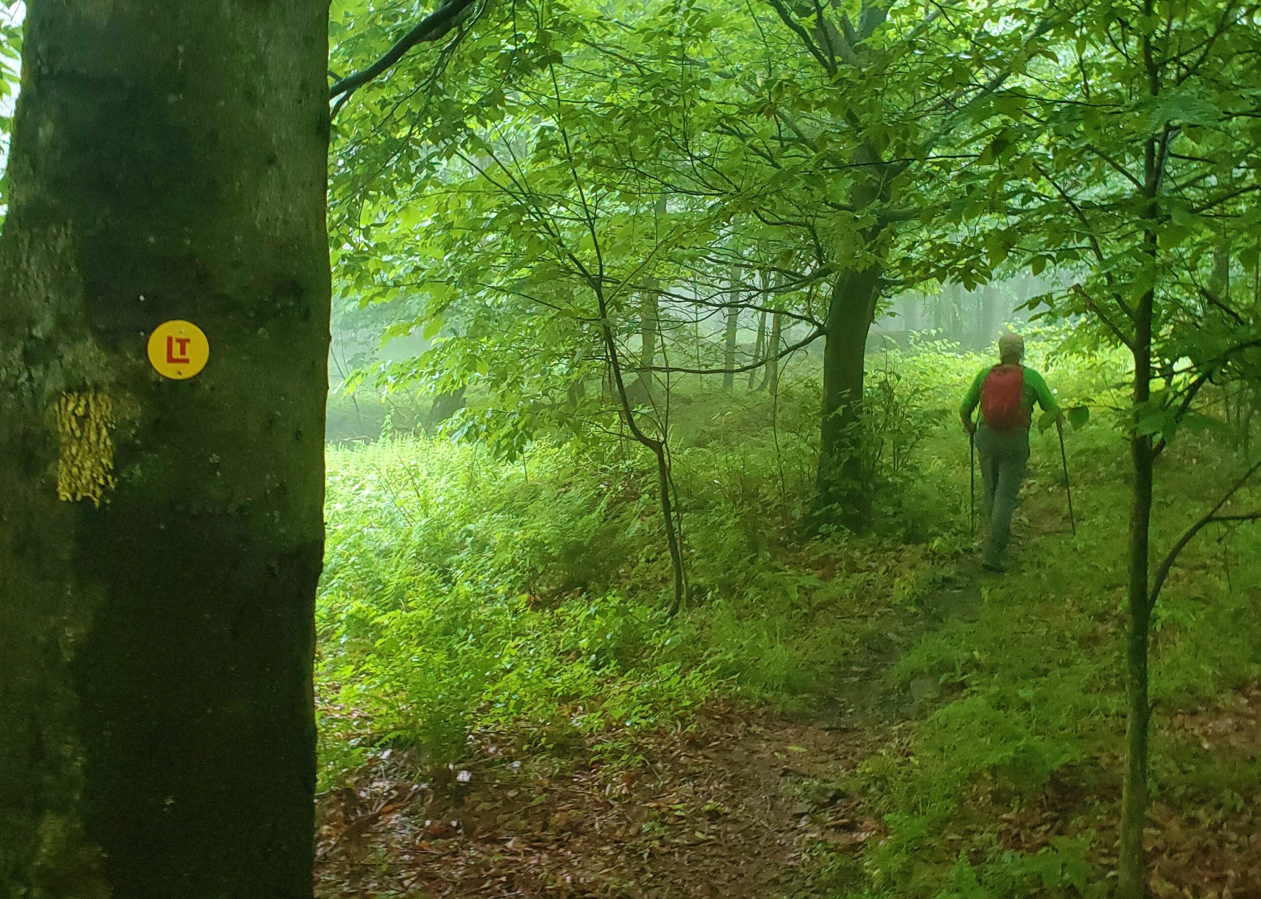
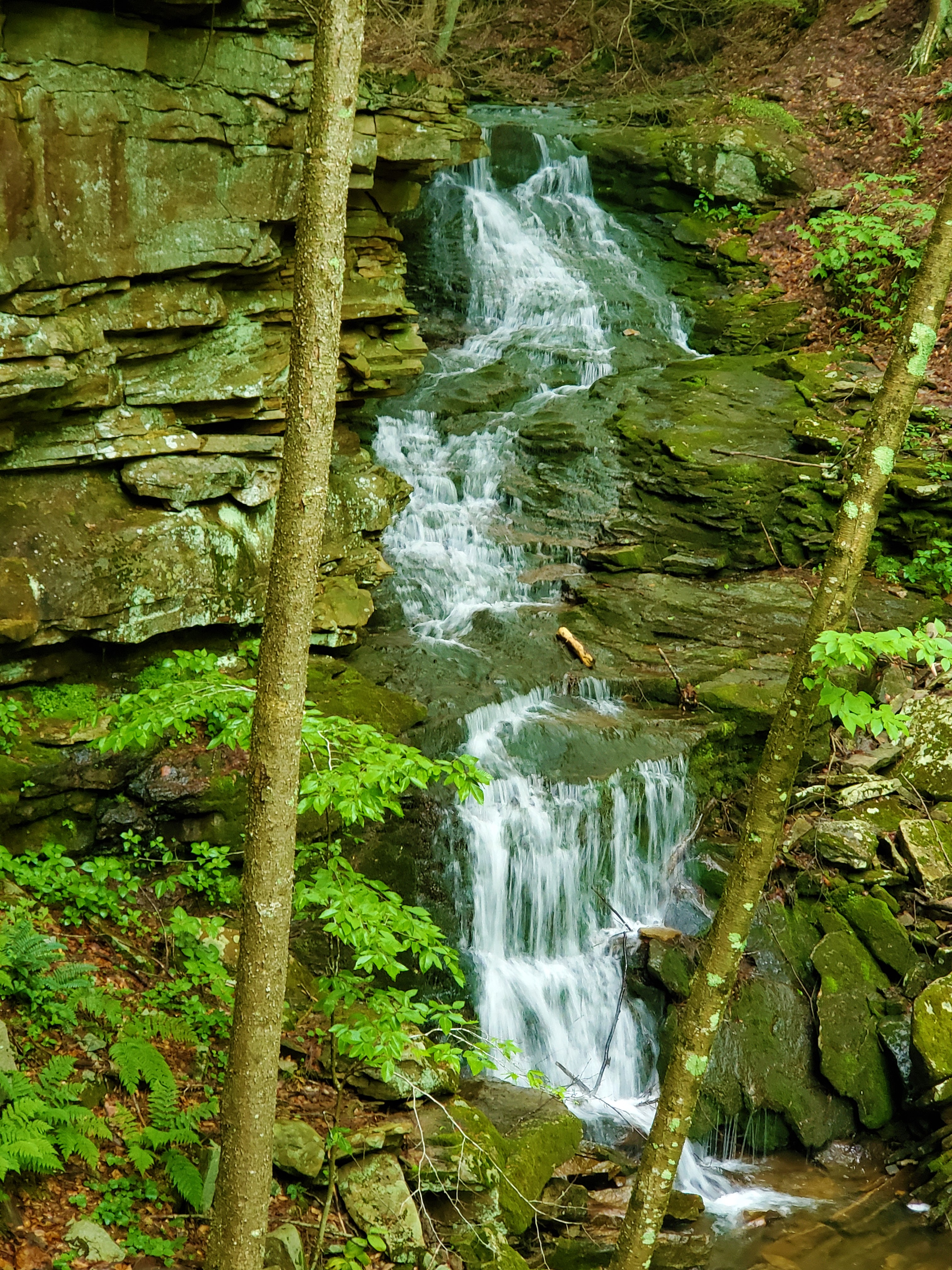 We arrived at Sone’s Pond just as it began to rain, and took a long break under the hemlocks to stay dry. We continued across the plateau, then downhill steeply through what midatlantichikes.com adequately calls “a large rock garden w/ cave”. We continued steeply downhill beyond this, down to Rock Run Road, where we turned onto a gravel road for the only legitimate road walking of these entire thirty miles. We crossed an old steel bridge across Loyalsock Creek, and headed back up into the woods.
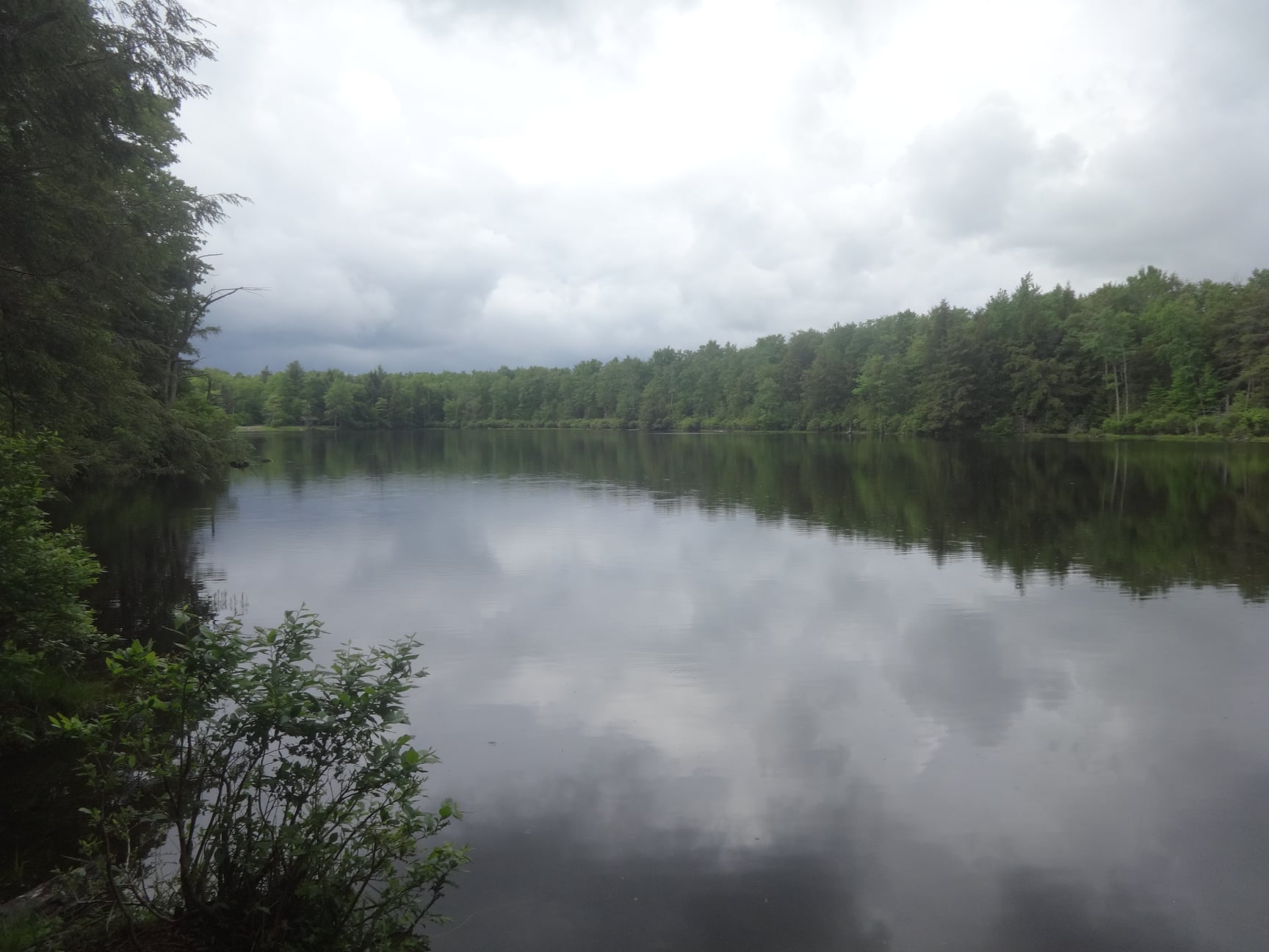
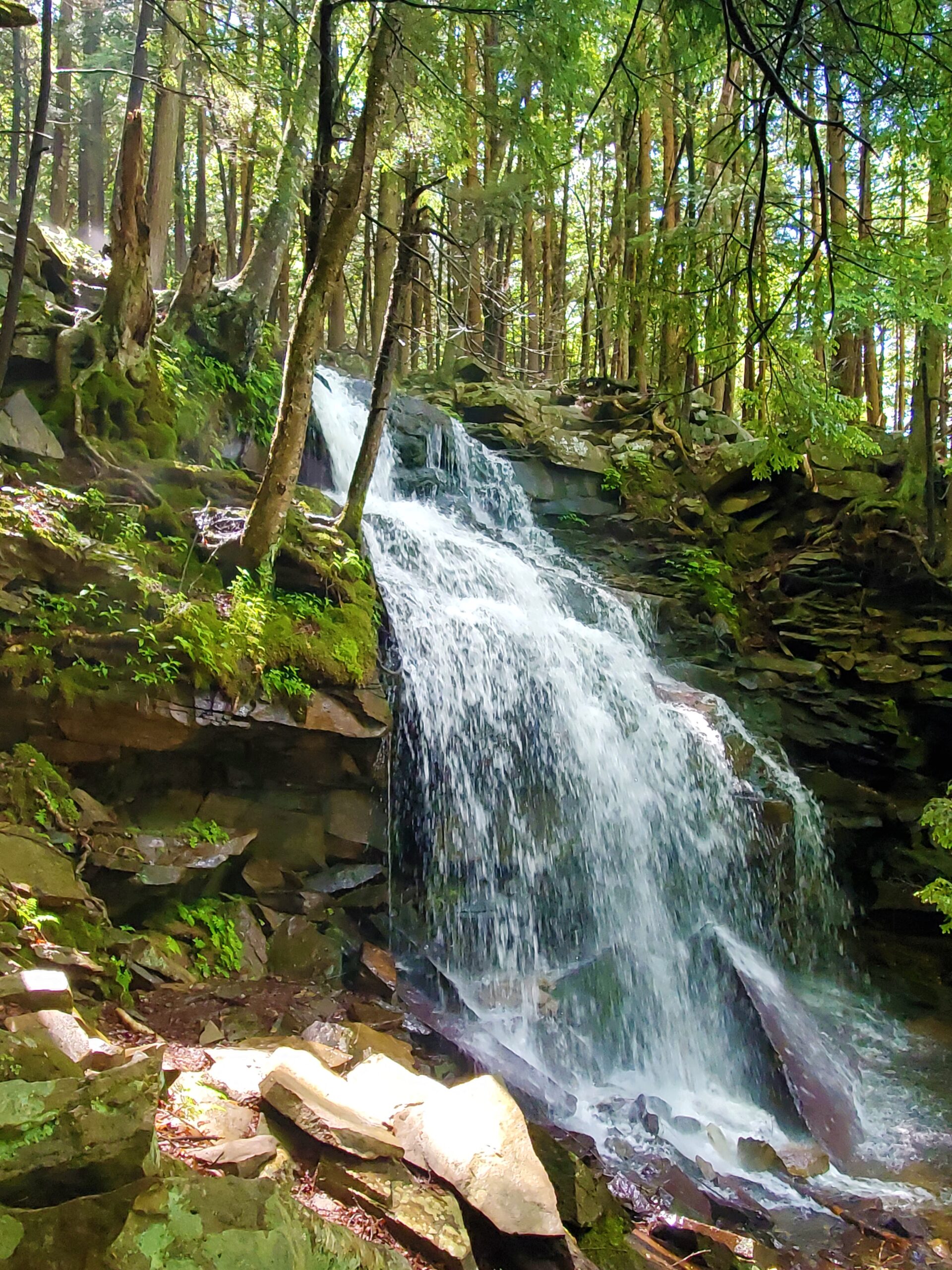
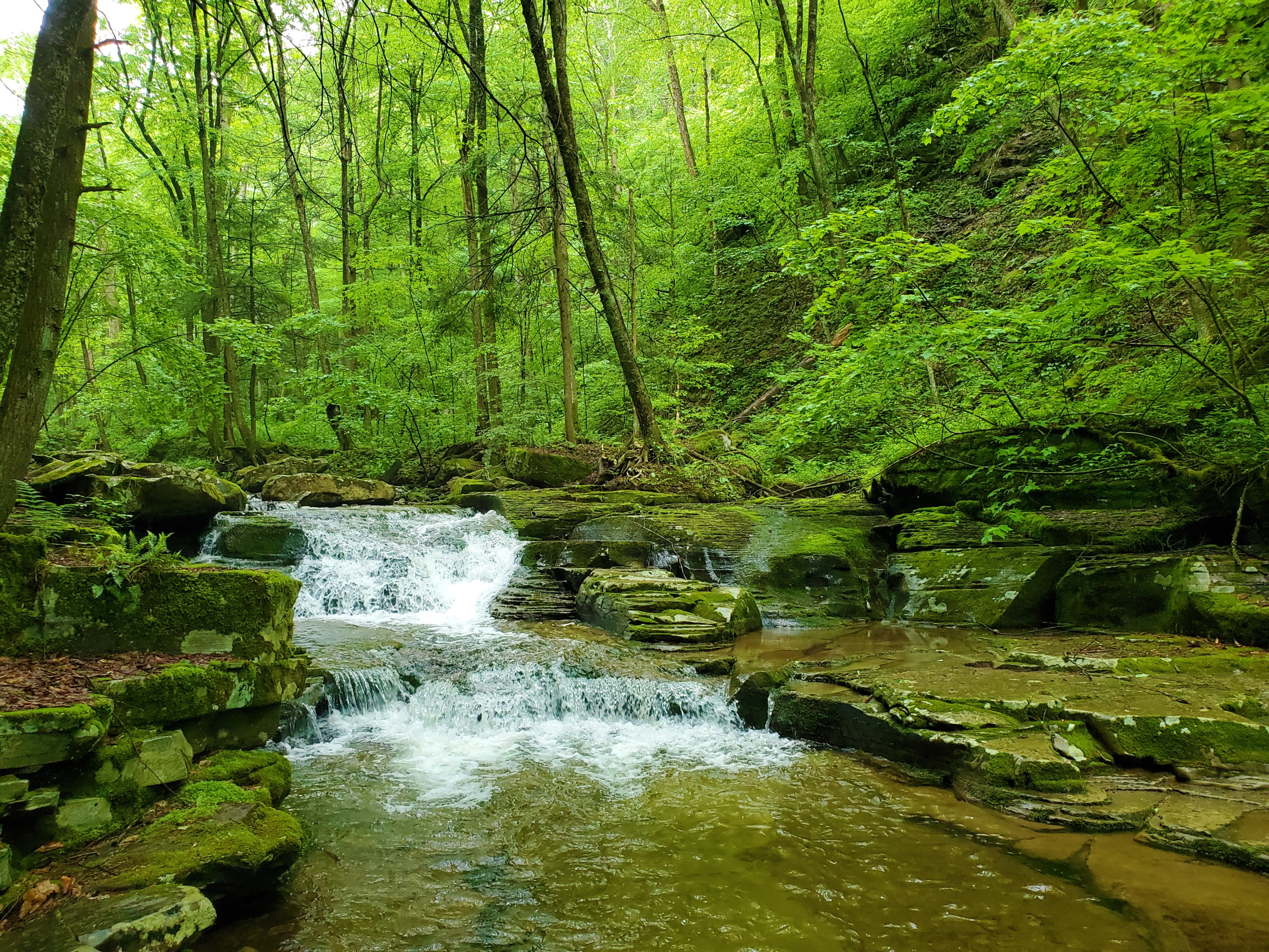
 There were 2 more unnamed waterfalls along this, on the posted ground surrounding the trail, and the second one was another one of the highlights for me on the entire trip.
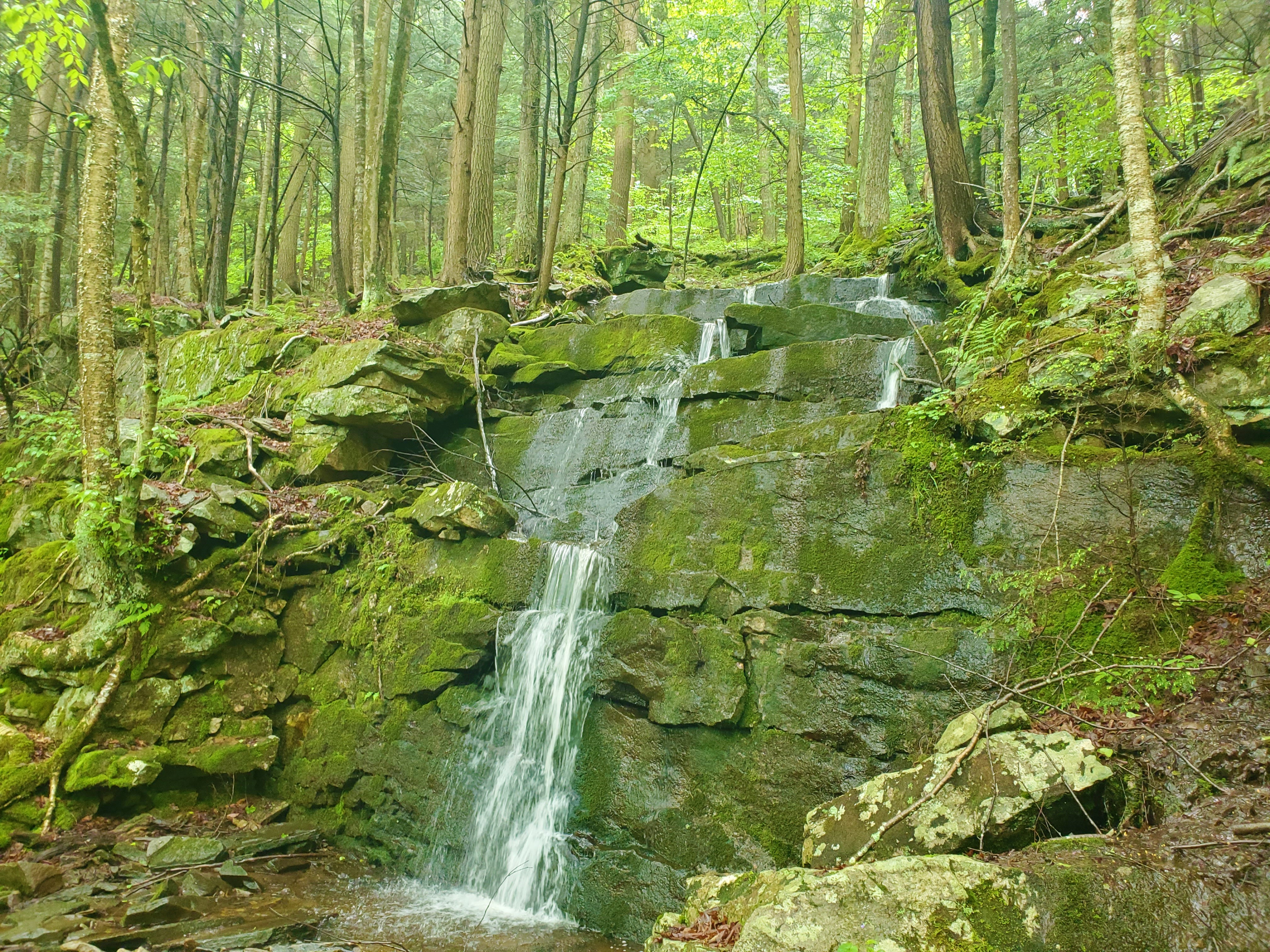 The trail turned downhill after this second waterfall, all the way back to the Loyalsock Creek and the “Haystacks” rock formations. This was a nostalgic spot for Greg, who had spent some time here decades ago.