Mount Adams (13,931′)
11.5 miles
5,200 feet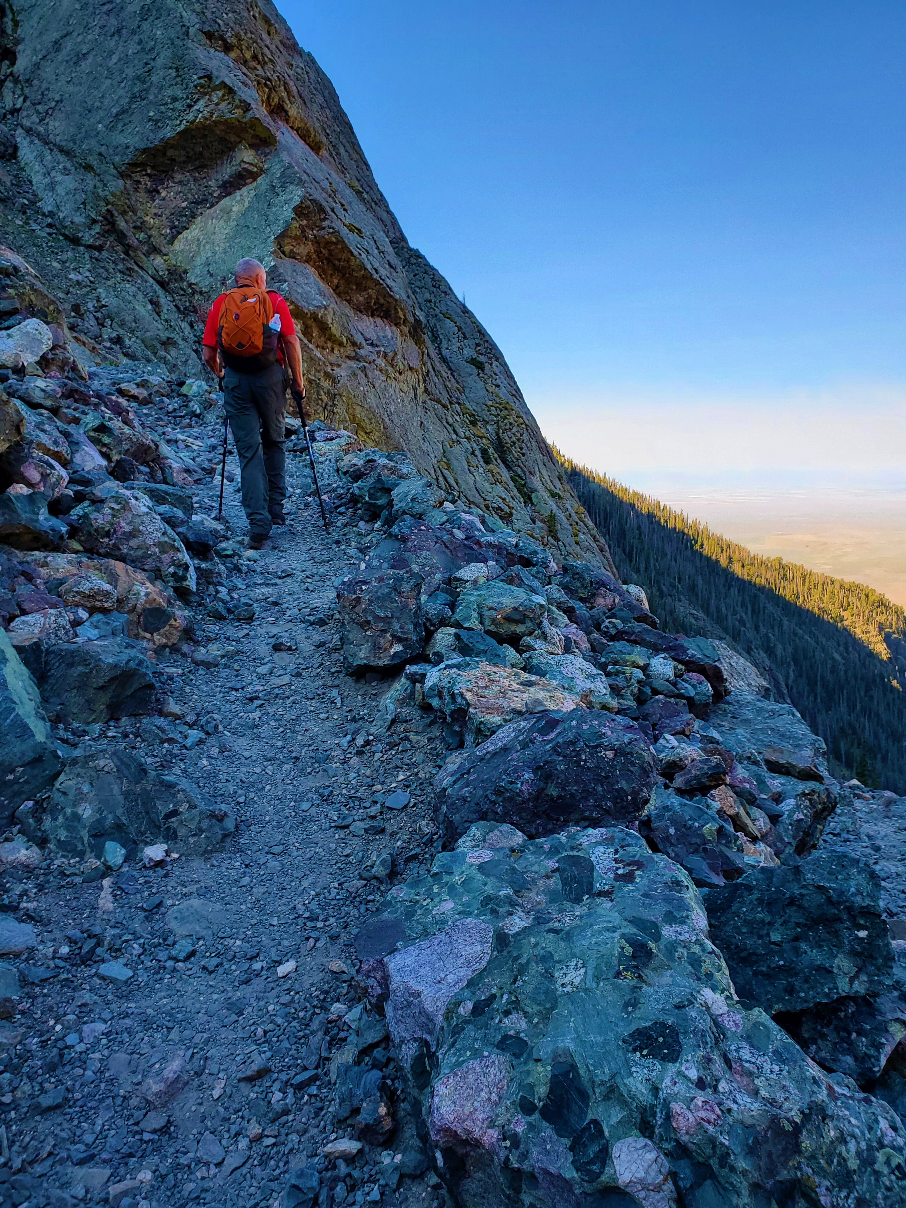
We quickly left the hoards behind, however, after exiting the trail to Challenger Point. We climbed steep grass slopes, then did some willow bashing to find our way to the upper basin below Mount Adams.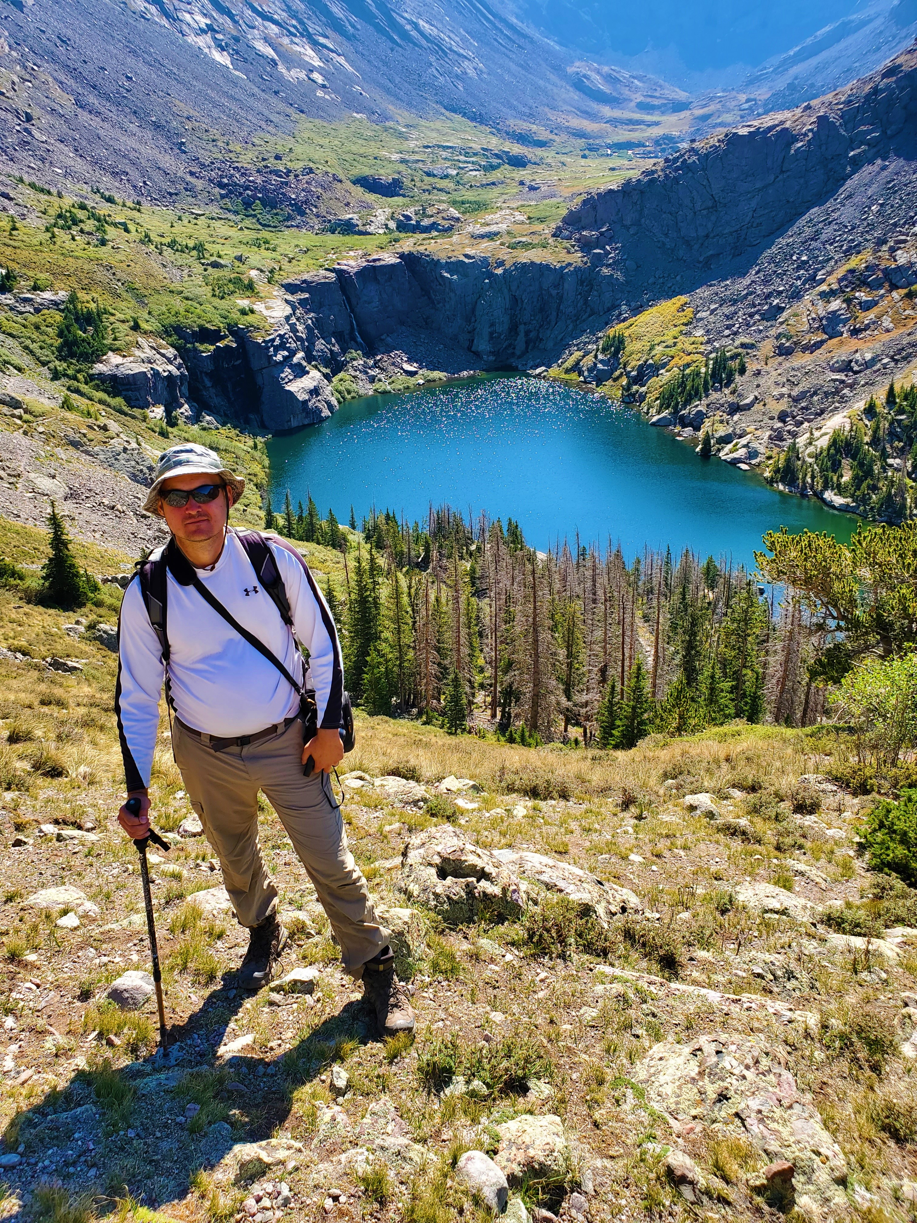 We were surprised to encounter a young mule deer buck well above timberline, around 12,500 feet. Just after this, two guys came down by us, having climbed Mount Adams from the South Crestone Lake Basin. They were descending to complete their loop via Willow Creek.
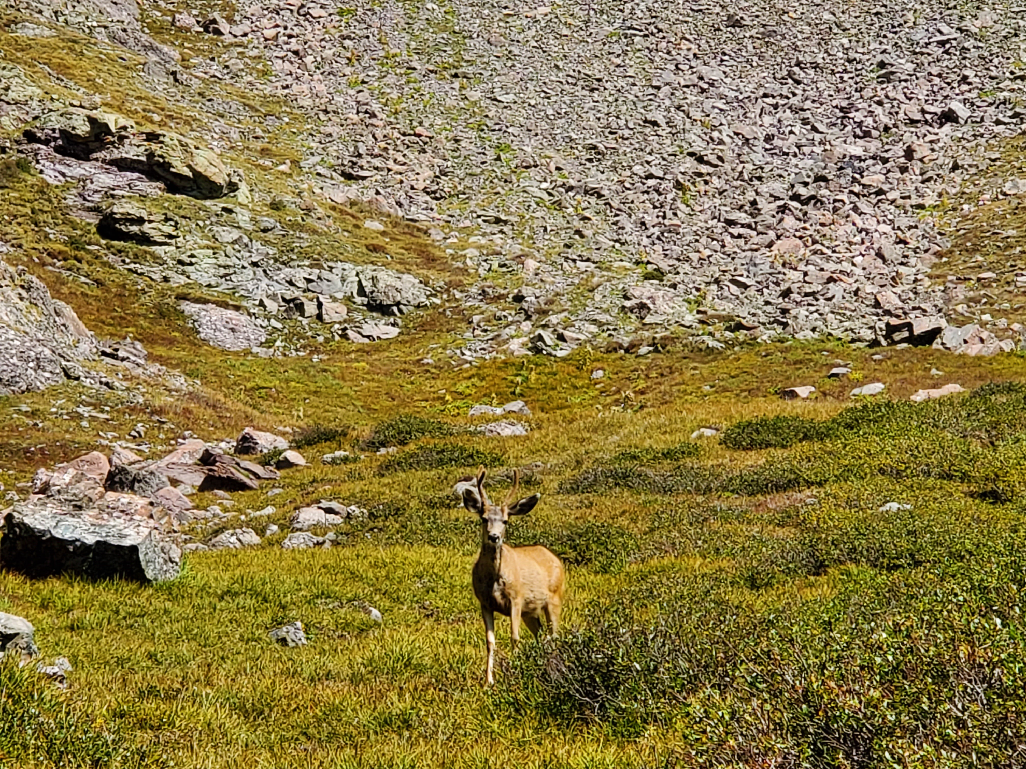 We would encounter a total of seven hikers on Mount Adams, probably one of the busiest days of the year for this oft-overlooked peak.
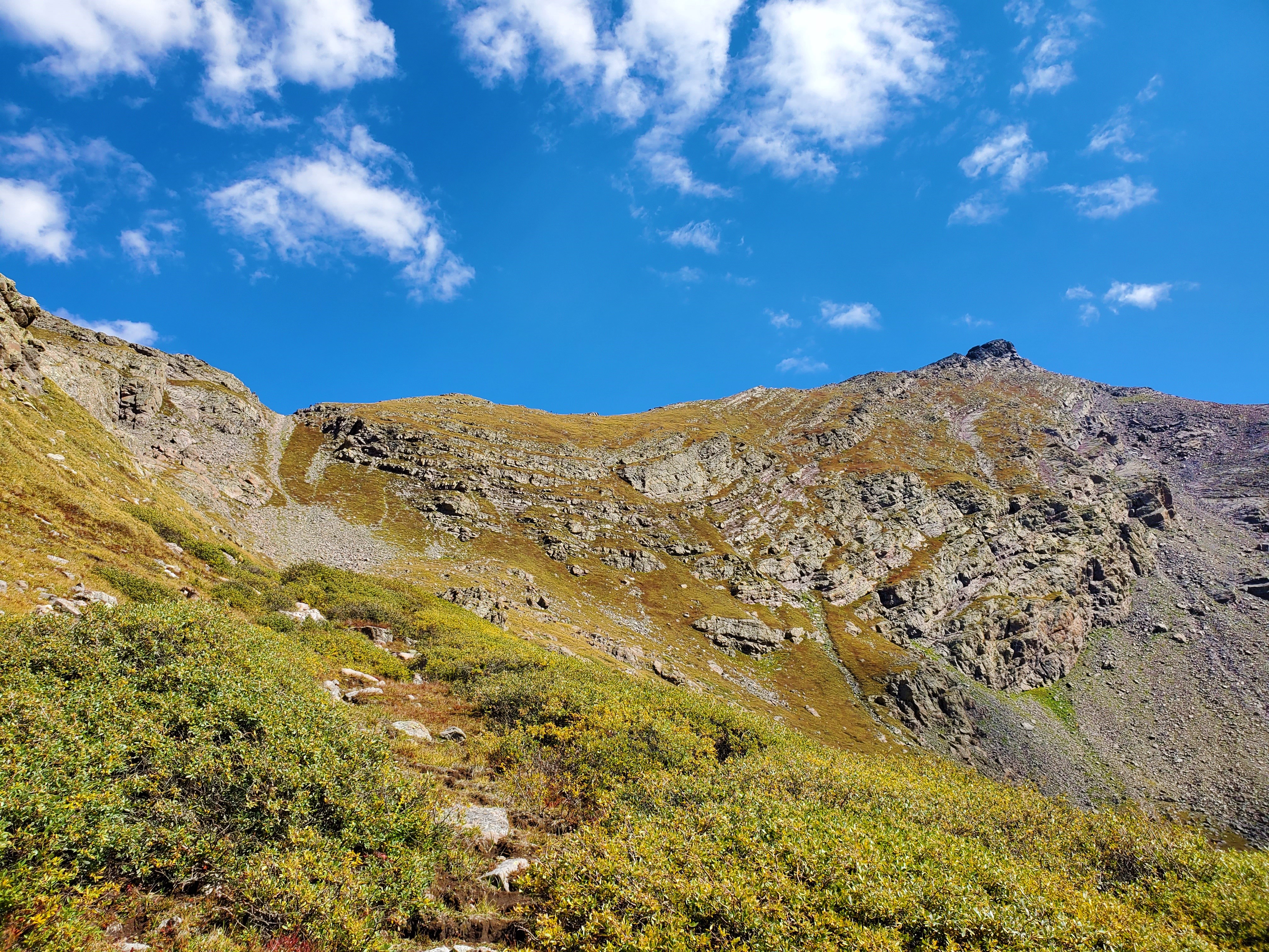
 After a short scramble, we gained the ridge.
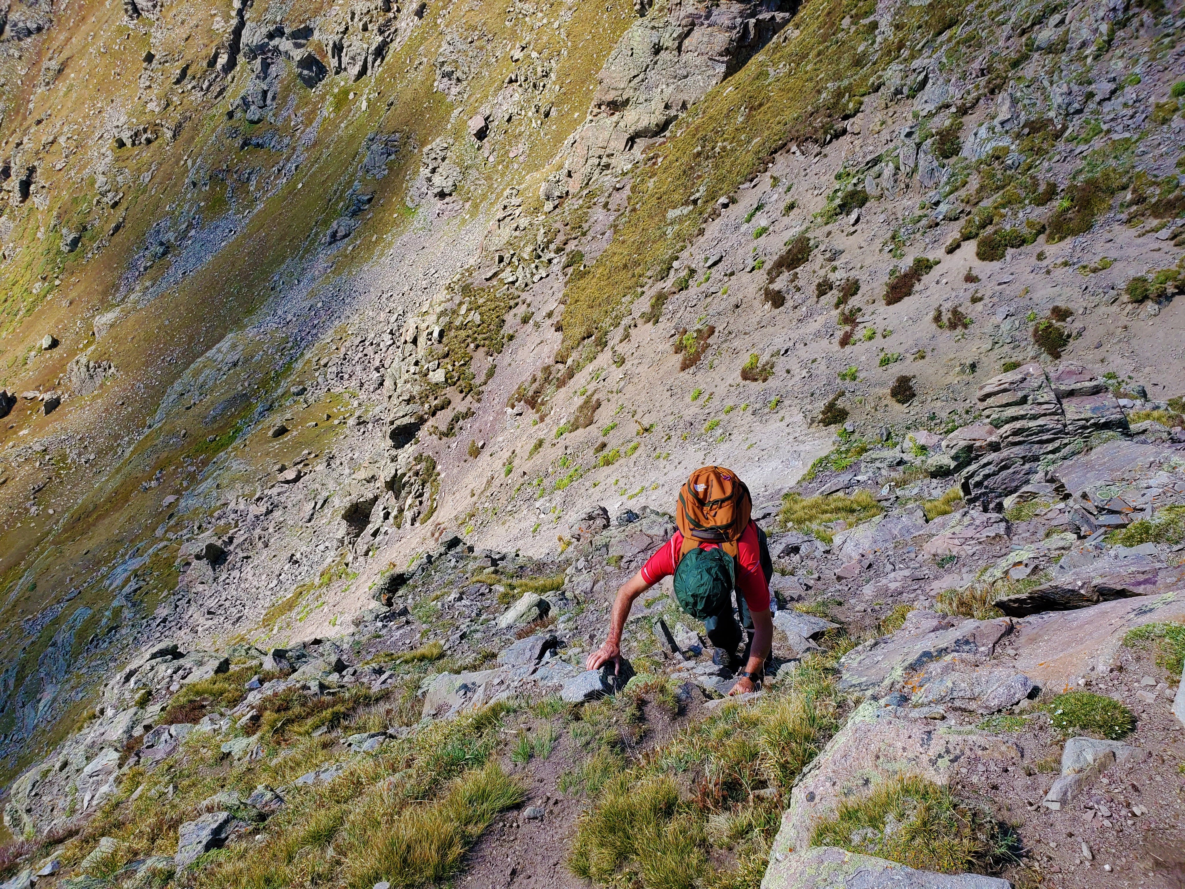 An obvious trail contoured the grass slopes to the right of the ridge-proper, and we followed this until we came to where the terrain began to get more rocky. Another guy had passed us, and had continued straight ahead and out of sight around the bend at this point, but I decided to try a more direct approach and turned straight up toward the summit.
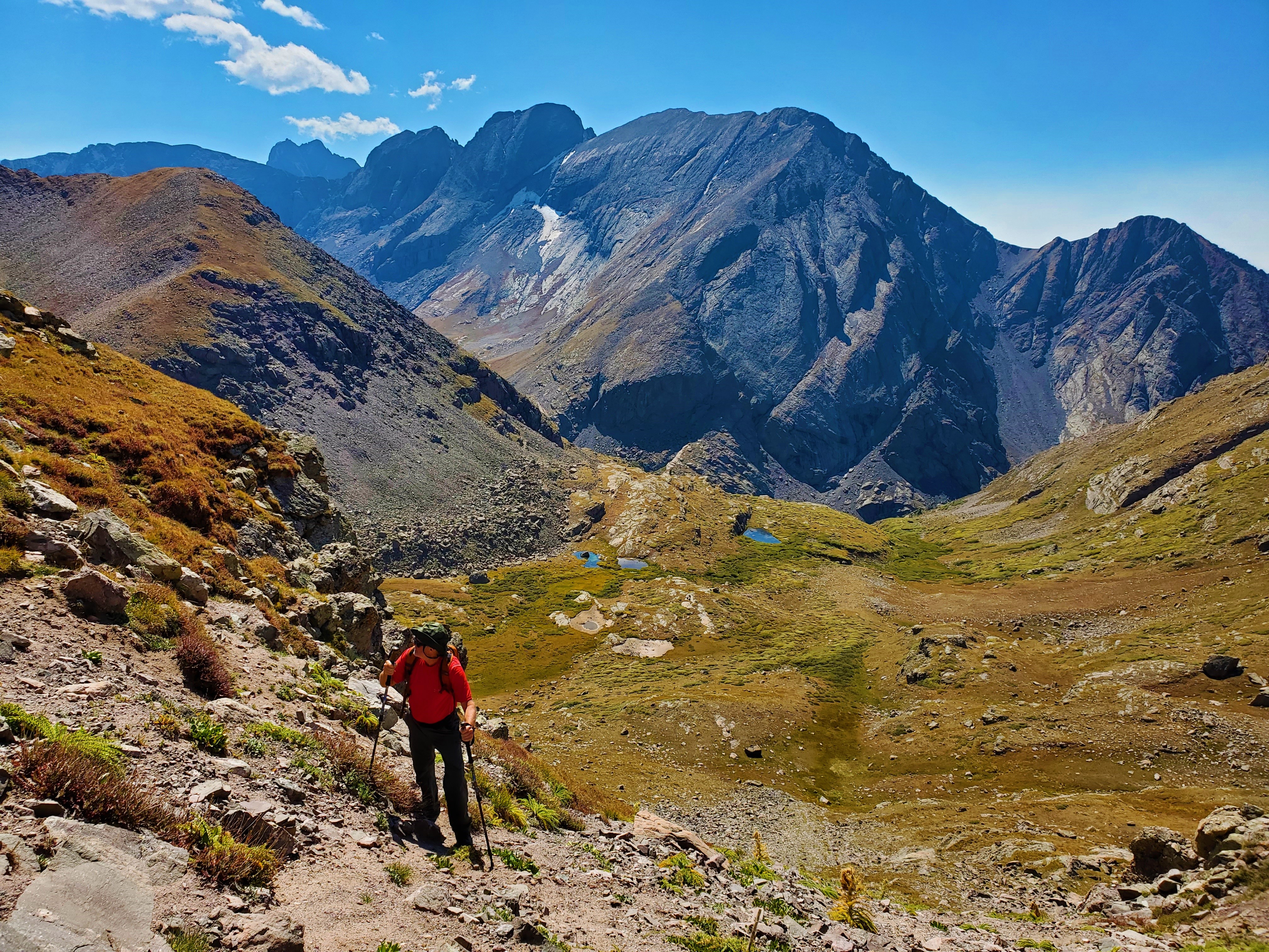
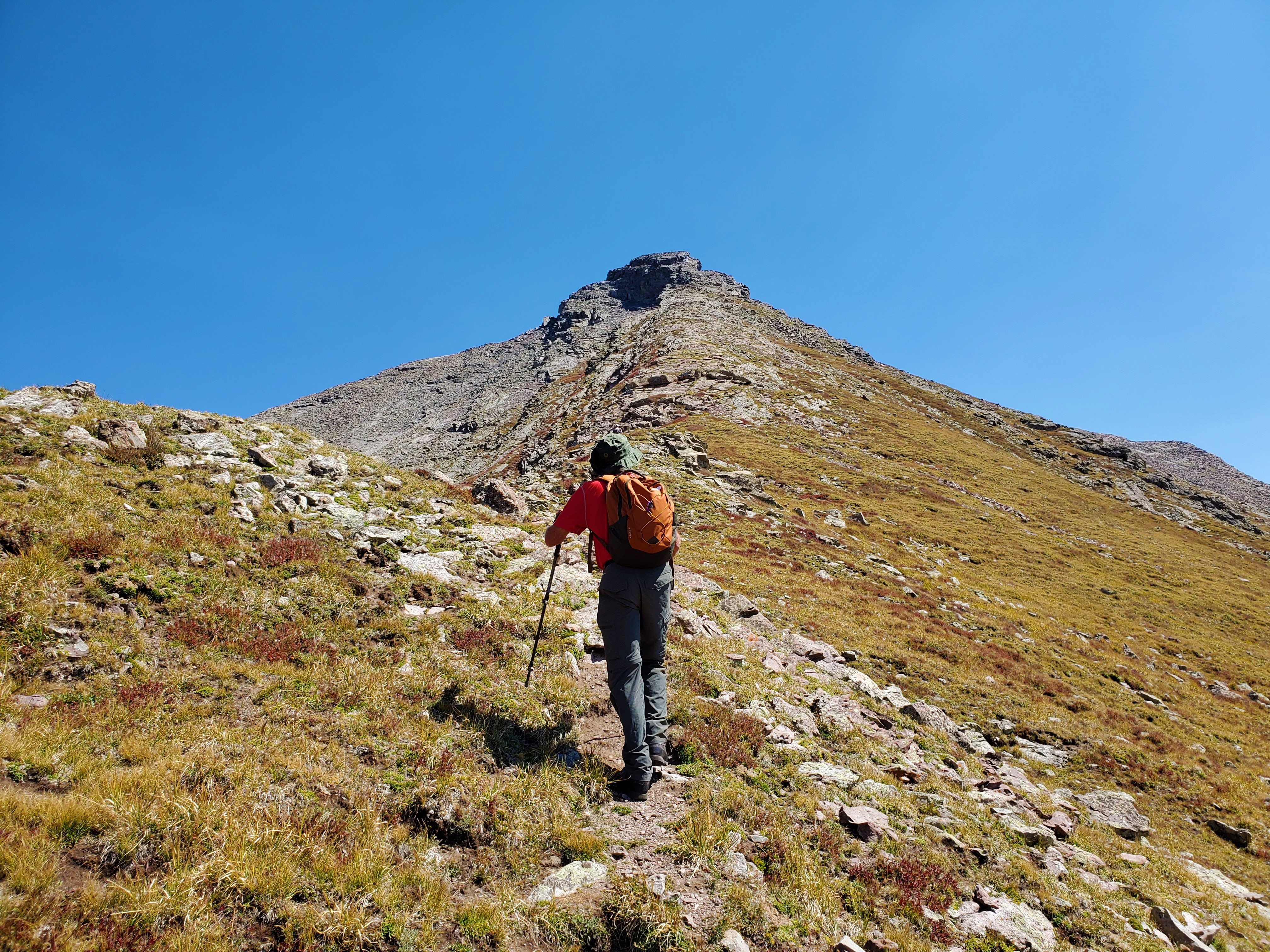 Uncle John and I worked our way up steeping grass slopes mixed with talus, until at last there was nothing but rock above us. He loves hiking, but not climbing, and he was more than happy to stop here and enjoy the awesome view from above 13,500 feet.
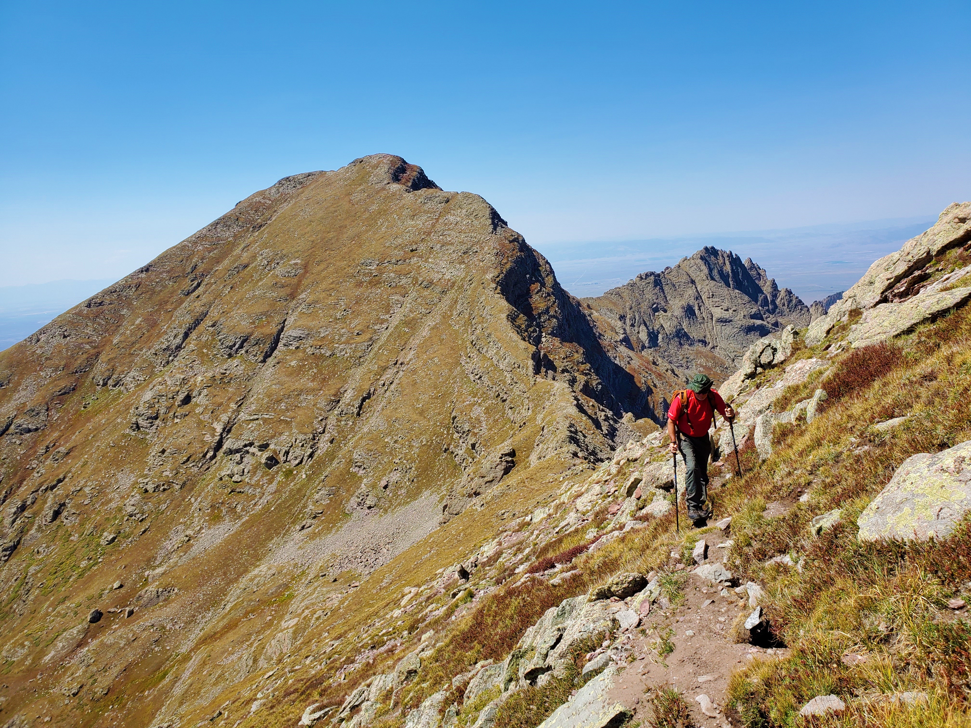 Meanwhile, I scrambled up the rock face all the way to the top, where it cliffed out short of the final summit block. Fortunately, there was a grass ledge that allowed easy escape, and a few moments later I found myself on the main route.
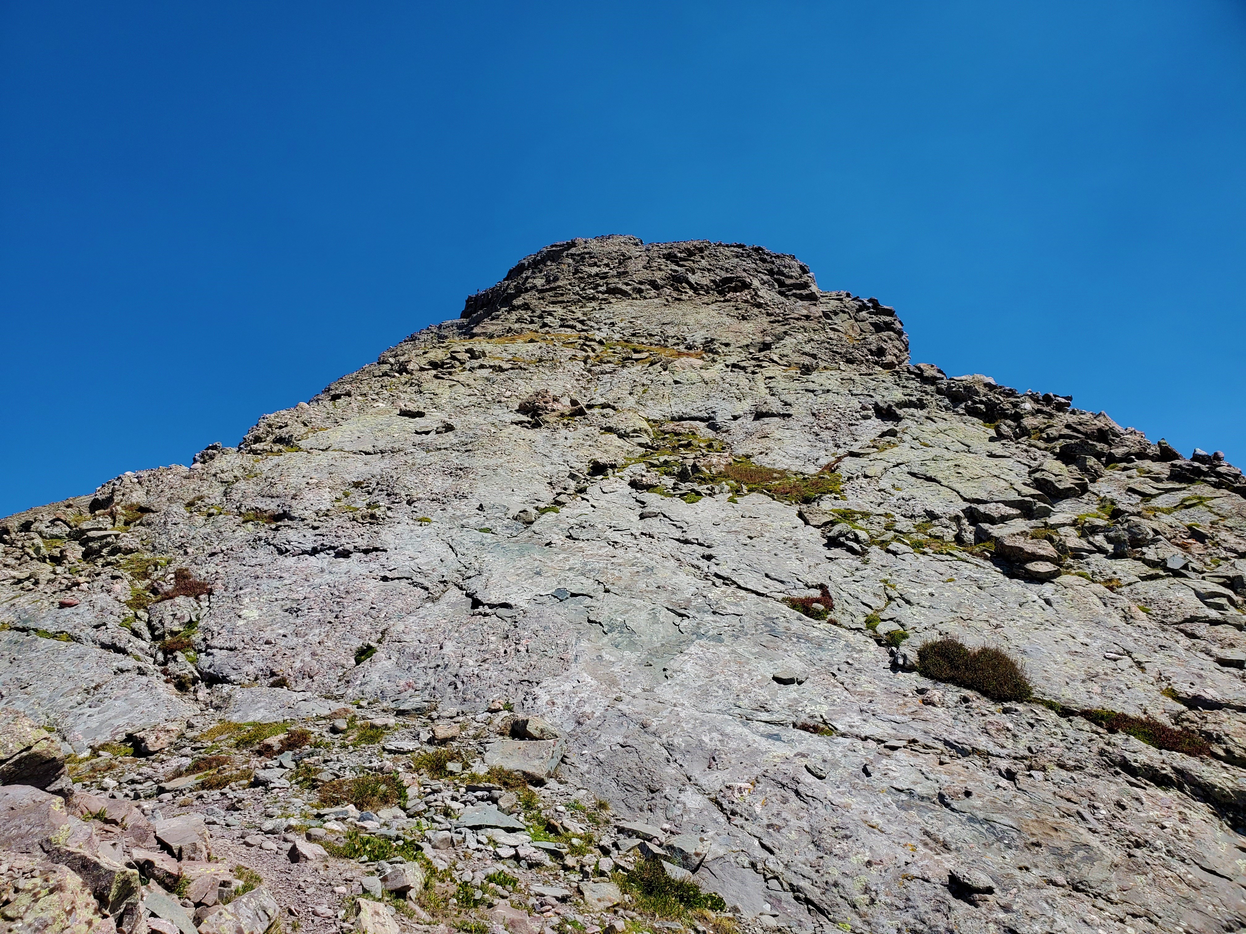 I followed a climbers trail uphill, then turned left and scrambled up the slanted slabs of the gully below the final summit block. I popped out on the ridge proper again, then climbed the remaining rock all the up to the summit.
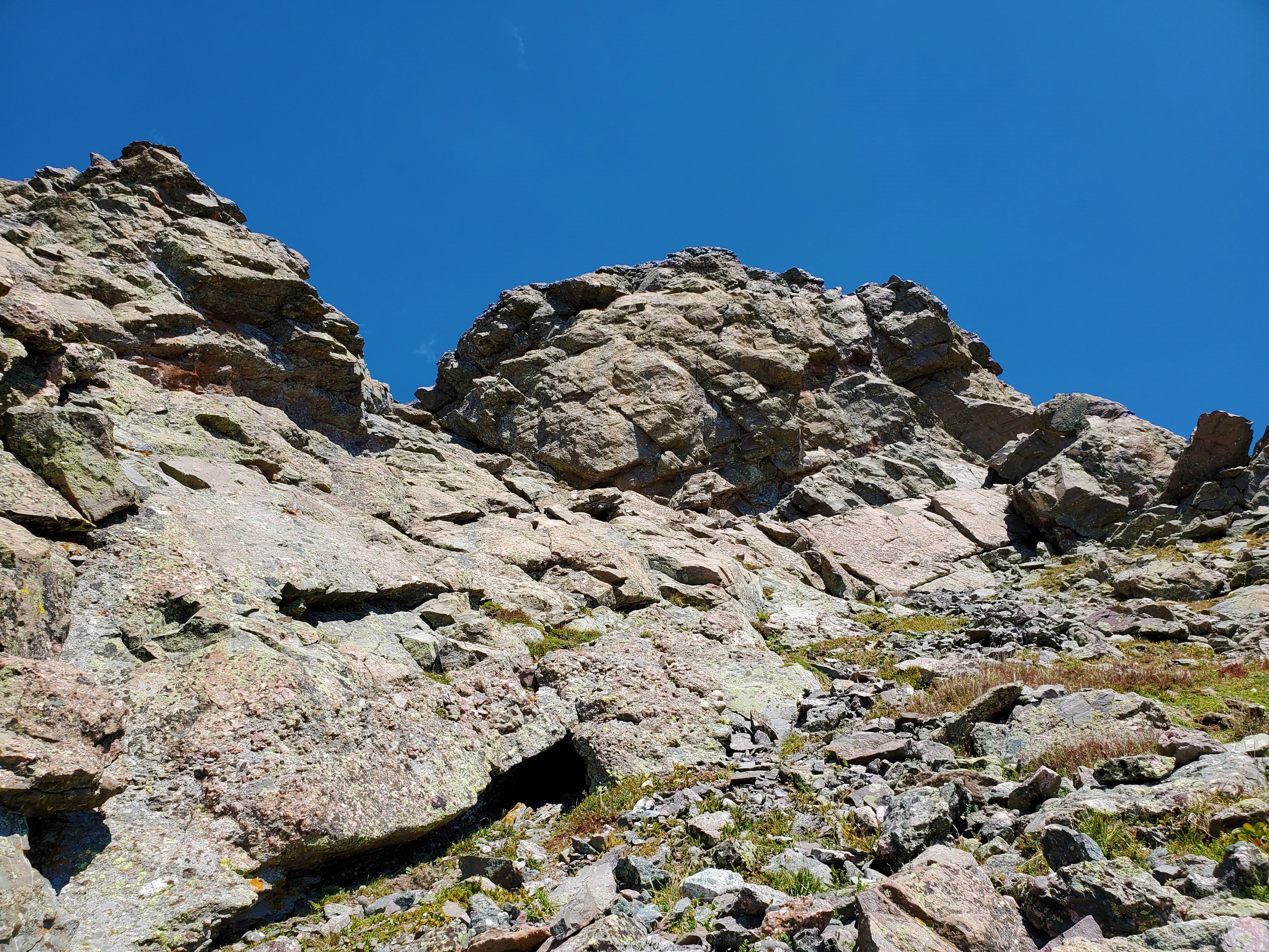 I arrived atop Mount Adams at 1:15pm, under blue skies without a breath of wind.
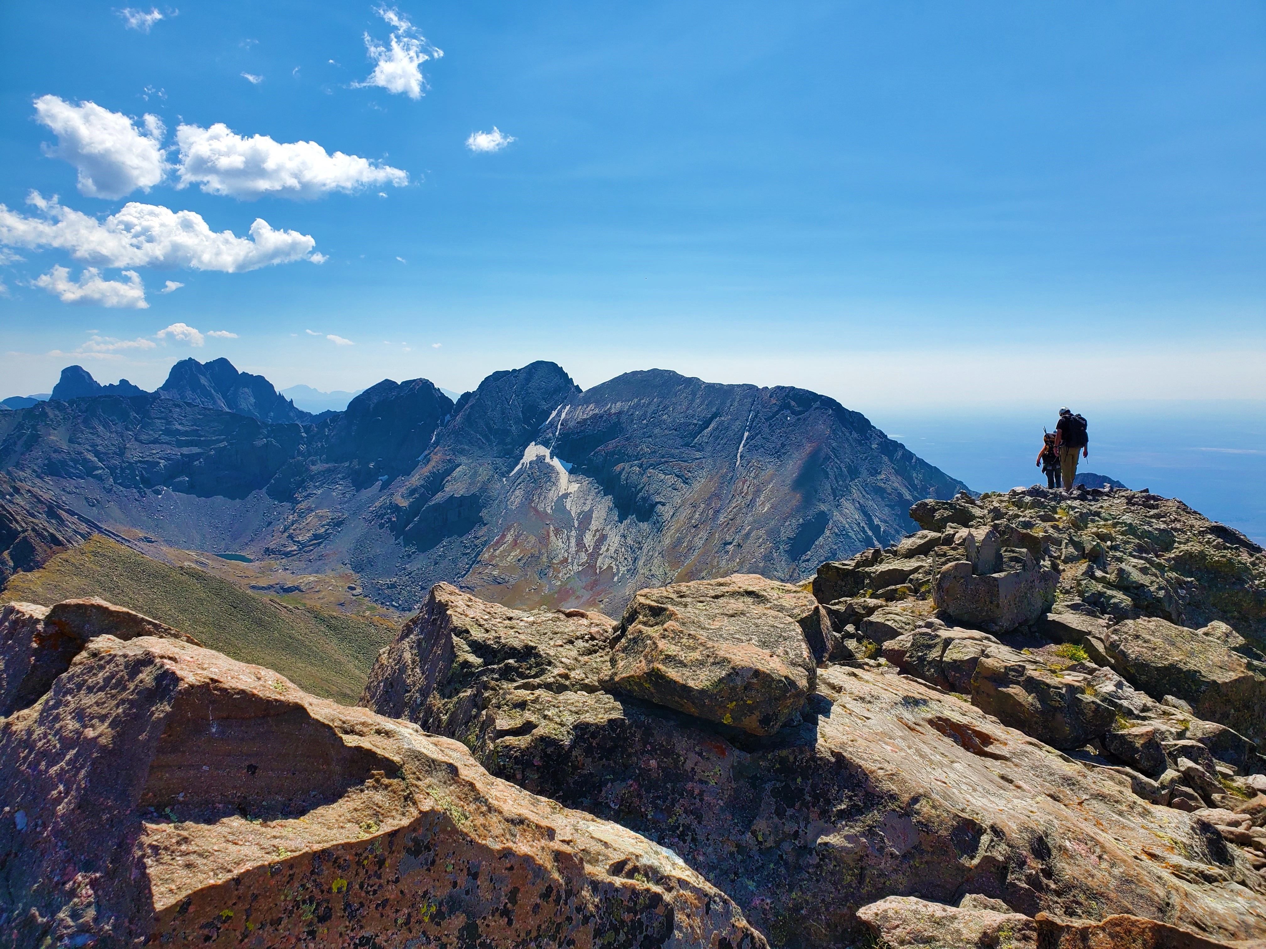
Two others were just leaving, and I bid them farewell as I sat to enjoy one if the best views the Sangres has to offer.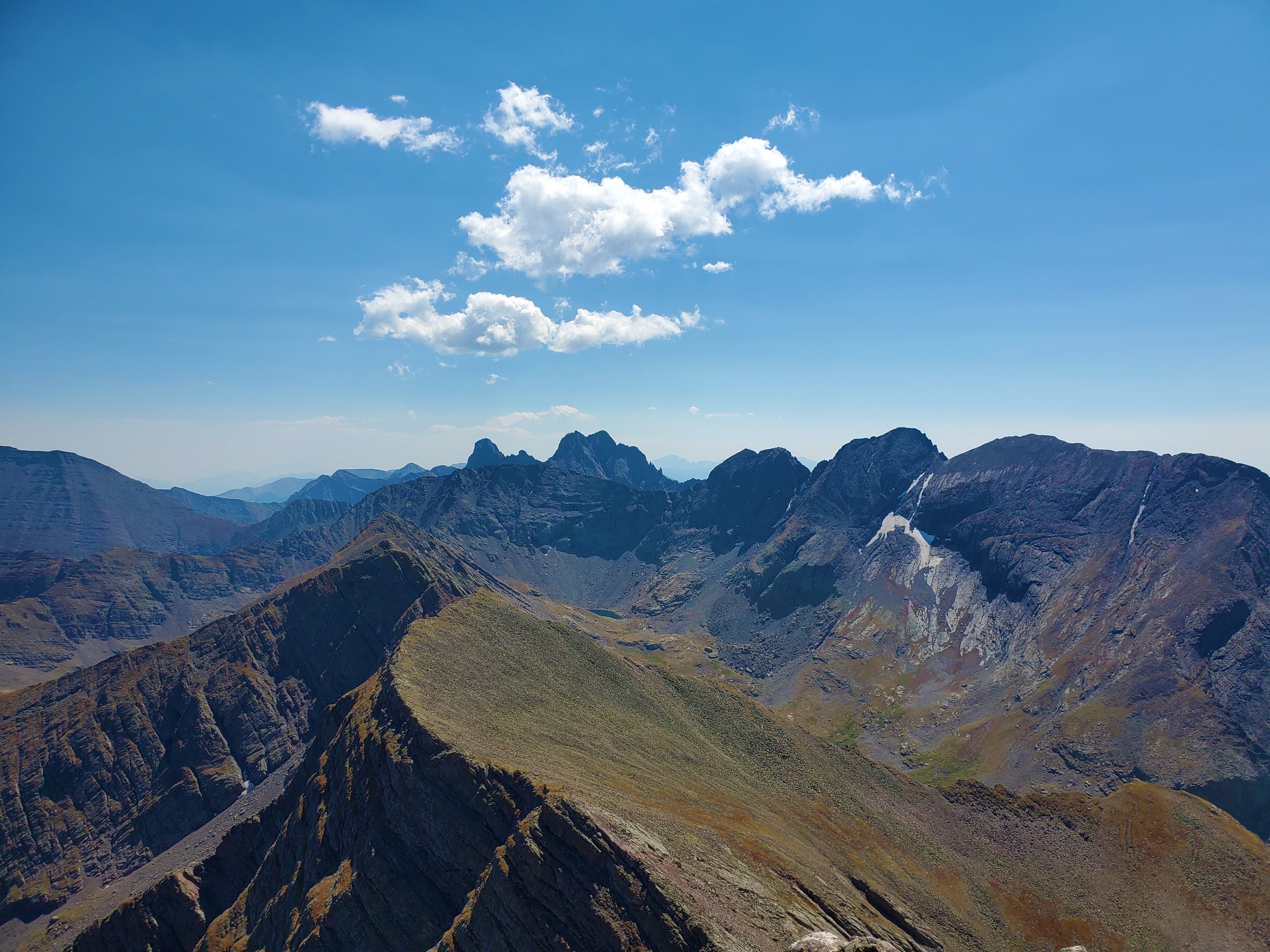
 I descended exactly the same way I had gone up, and before long met up with Uncle John again. Shortly after hearing a plane go by, we looked up to see a paraglider riding the breeze a thousand feet above us! I watched in amazement for a few minutes, wondering what their destination might be amidst such a rugged landscape, but they seemed to keep riding the updraft back up, in no particular hurry to come down.
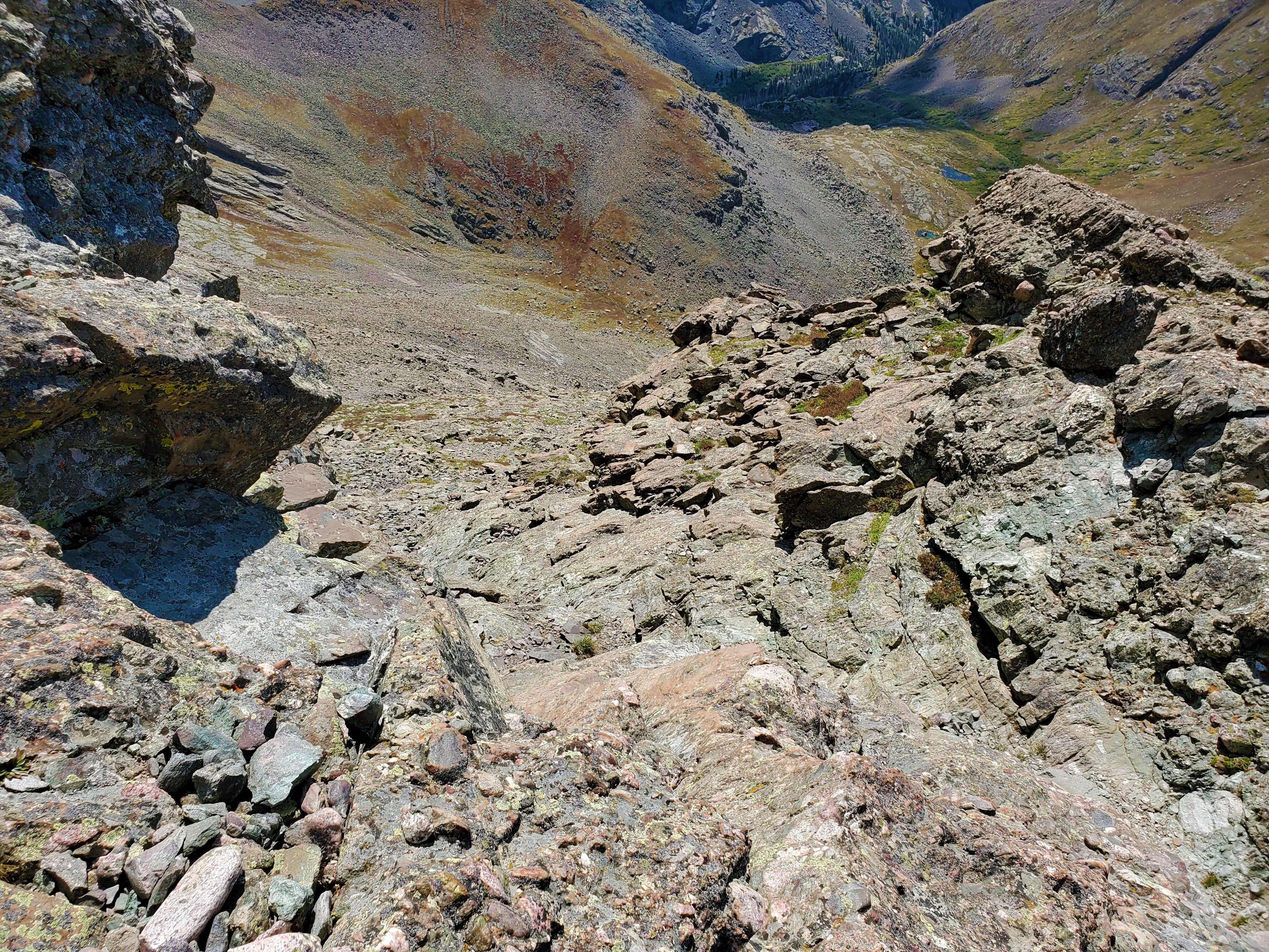
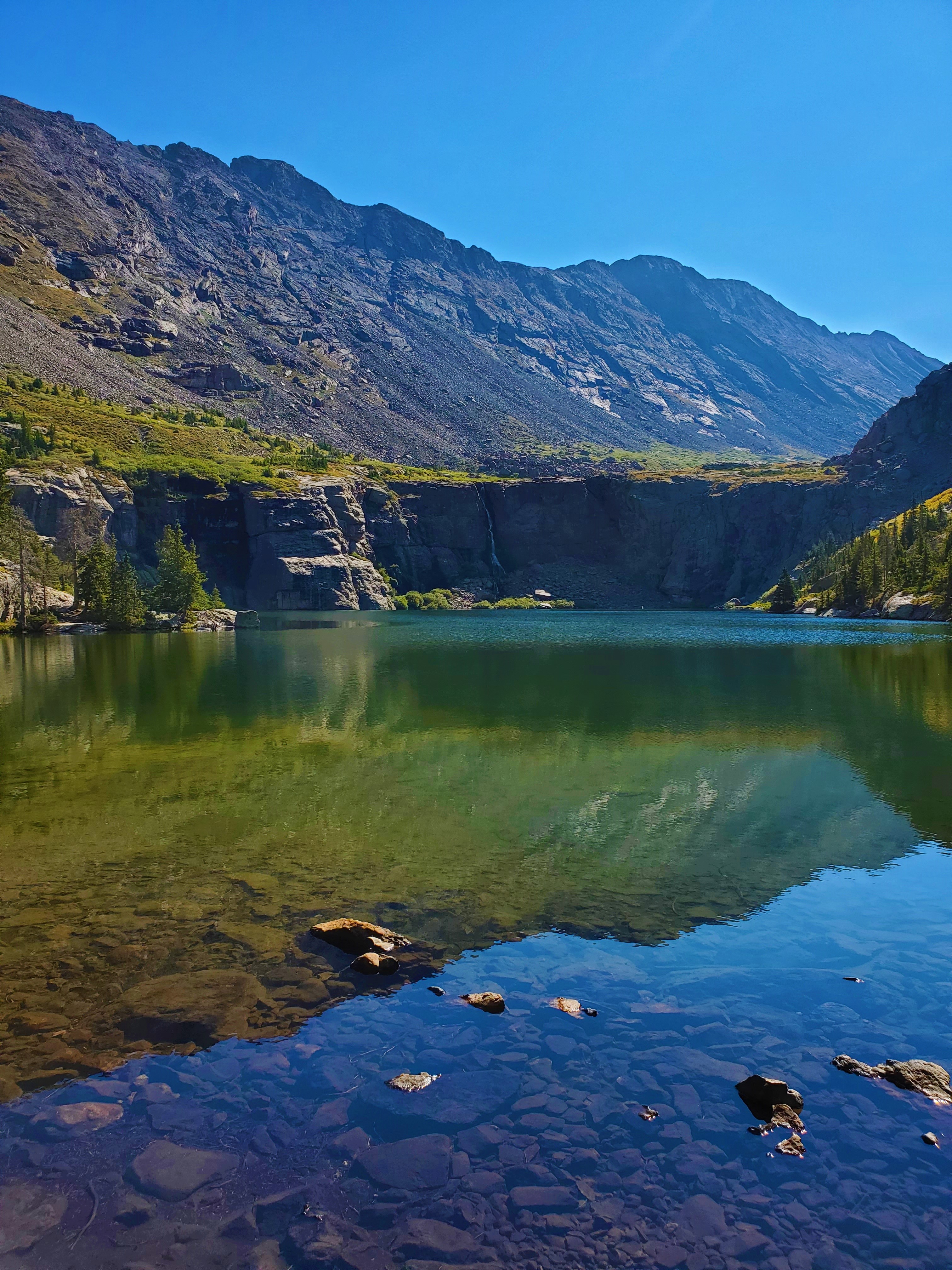
We took one more long break, at the top of the steep grass slope above Willow Lake and the Challenger Point trail. The view here was just amazing: the huge views including the 14ers, waterfall, cliffs, and lake simply could not be adequately captured by photo or even video, but we did our best.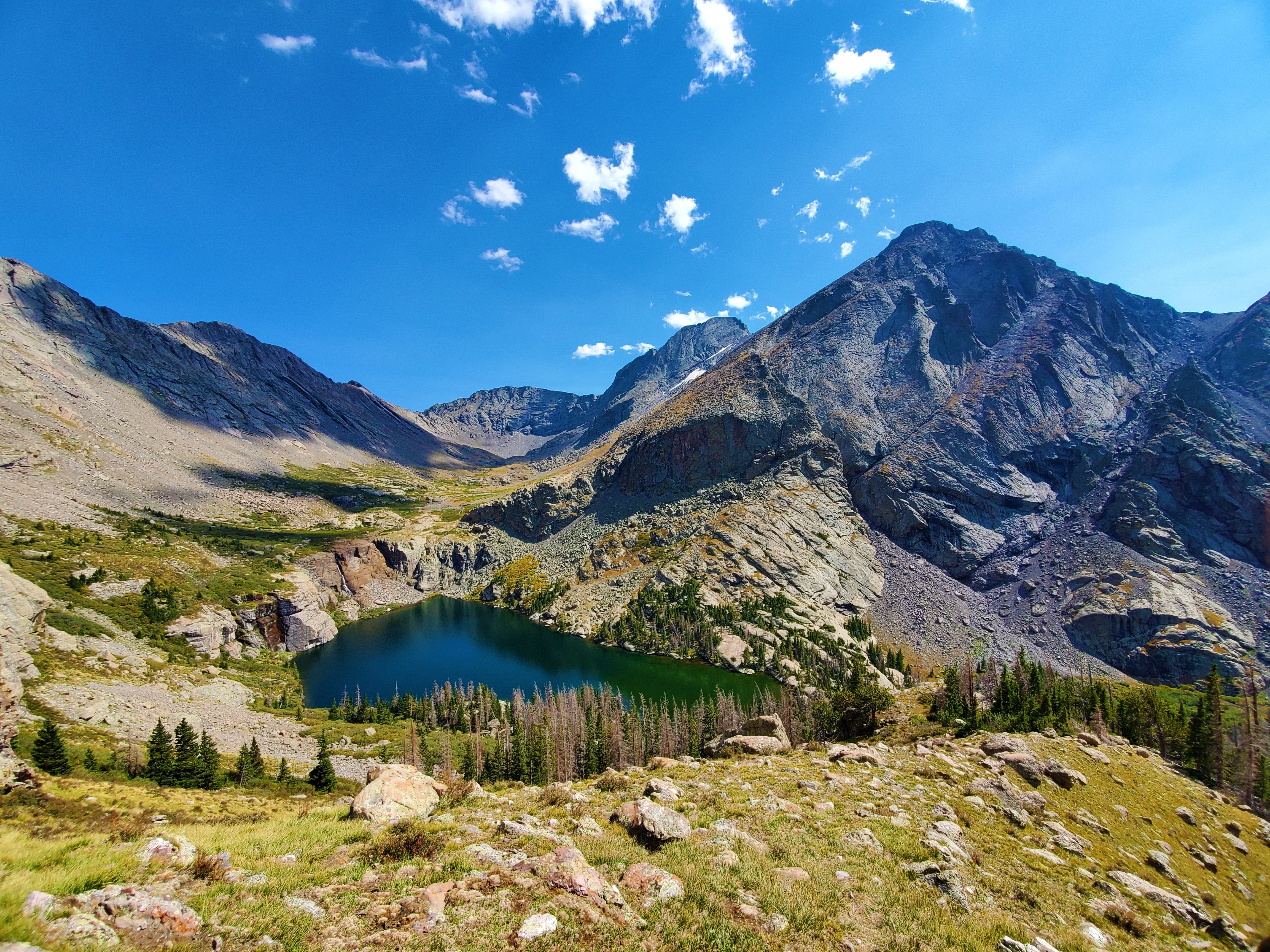 Then… back down the switchbacks.
We met Matt at the trailhead at 5:20, completing our trip in 10 hours, 30 minutes.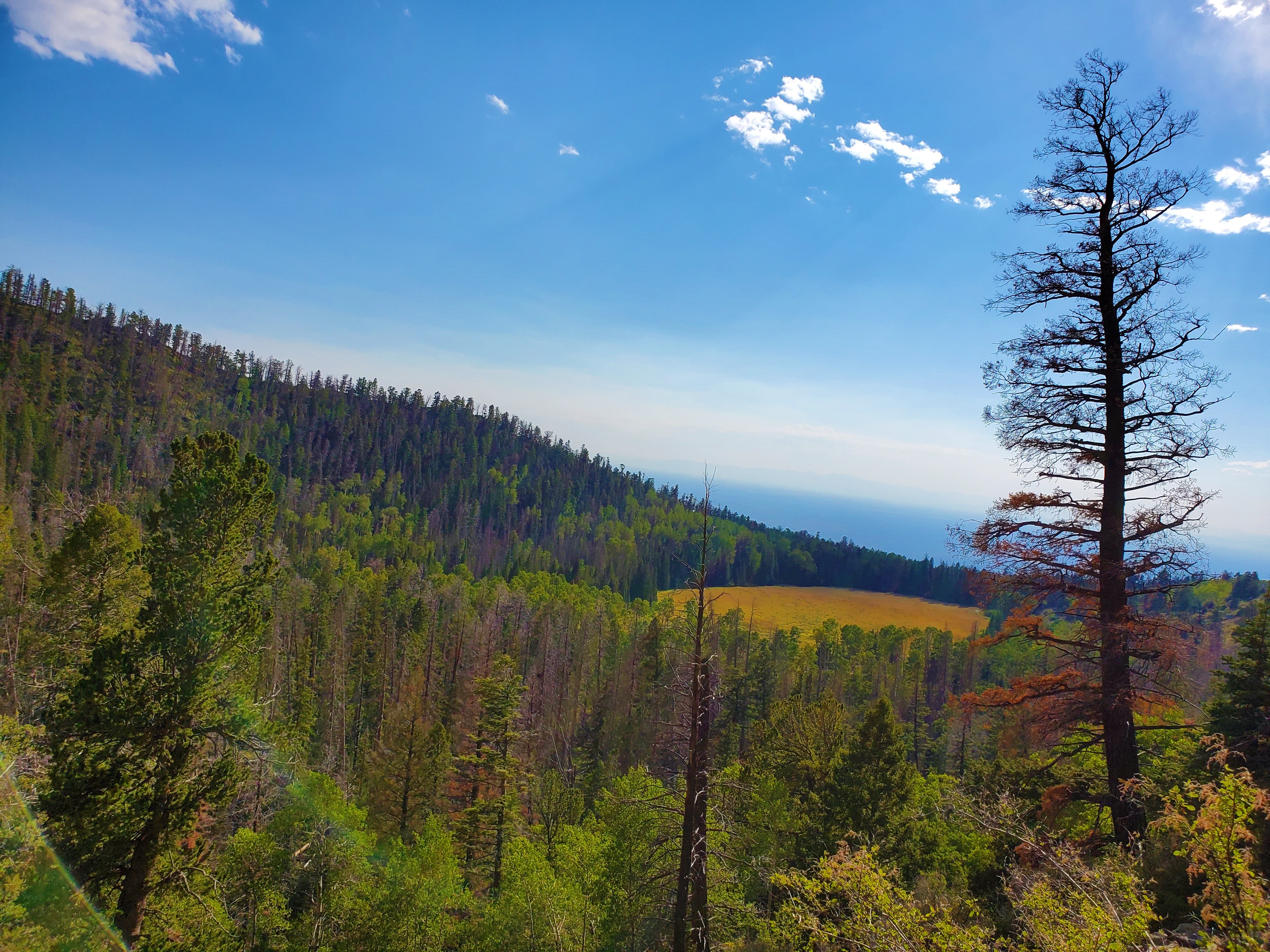 Four to go!
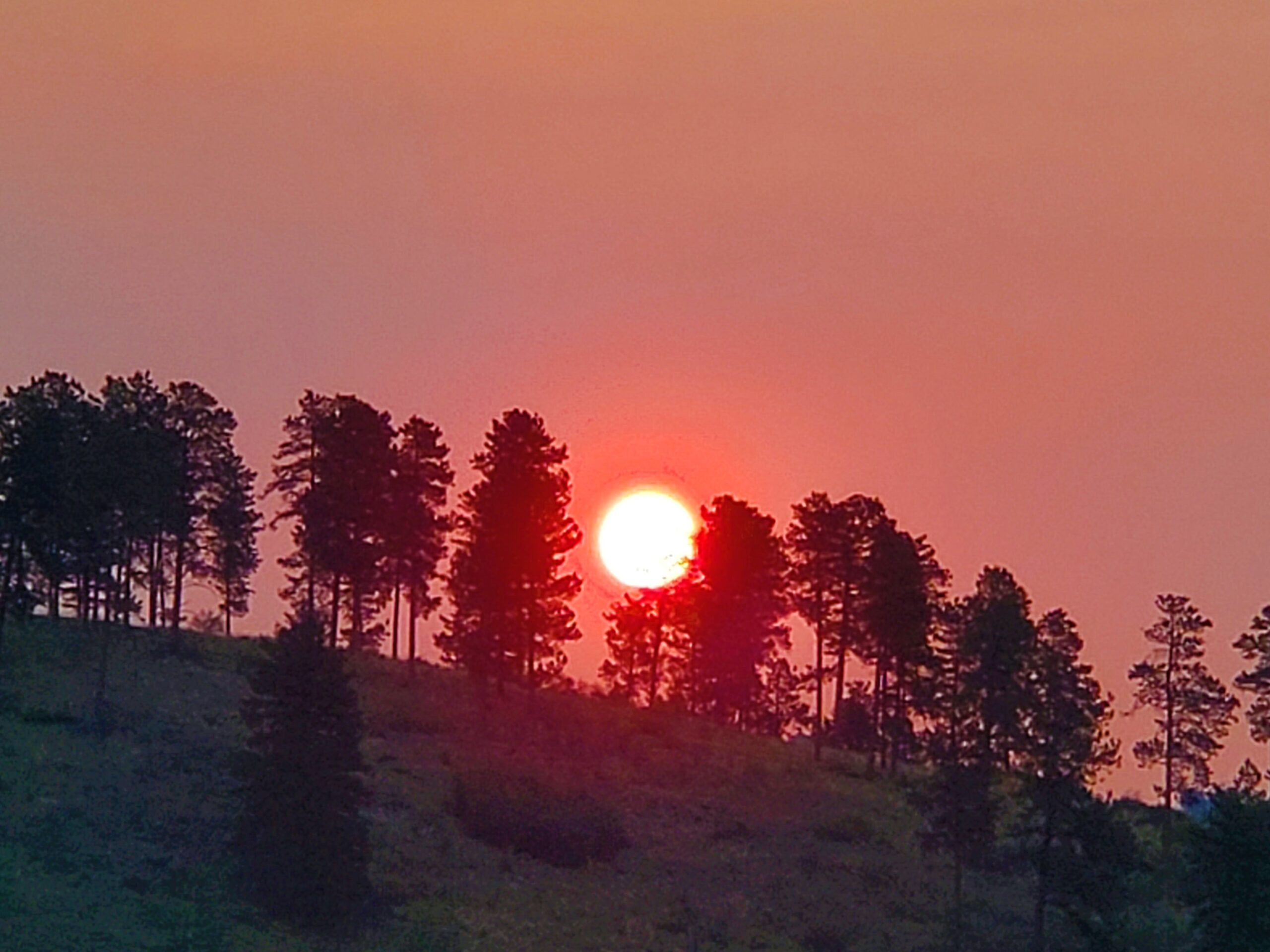
Bonus pic: smoke-filled sunrise the next morning, en route to Denver: