Distance: 24.5 miles (round-trip)
Elevation Gain: 4,500 feet
Class 2
August 3-4, 2019
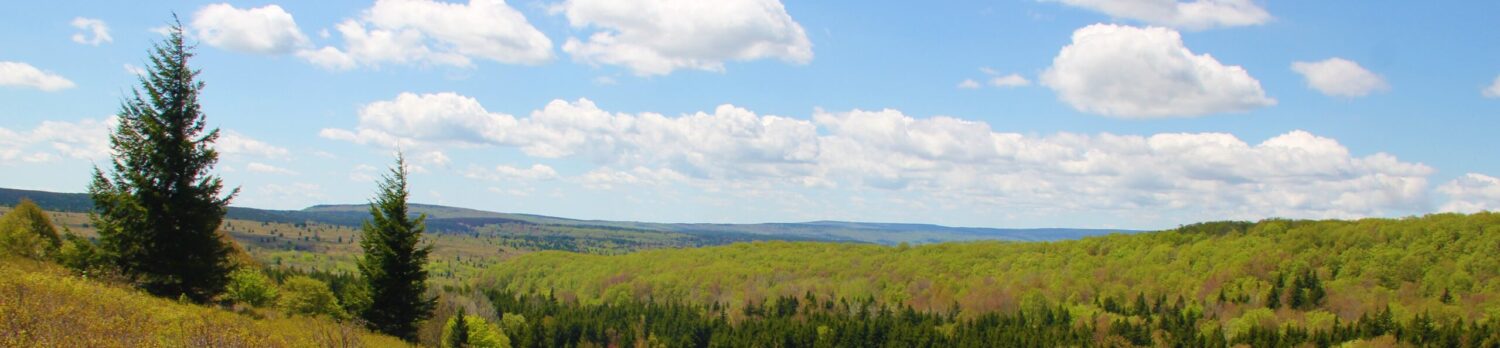
The early-morning drive from South Fork through Creede to the Thirty Mile Campground was gorgeous. We would end up doing this drive a number of times in our short stay in the region, and it never got old, but this was our first time through the valley. Dad and Greg and I hit the trail at 7:45 with a temperature of 47 degrees under blue skies.
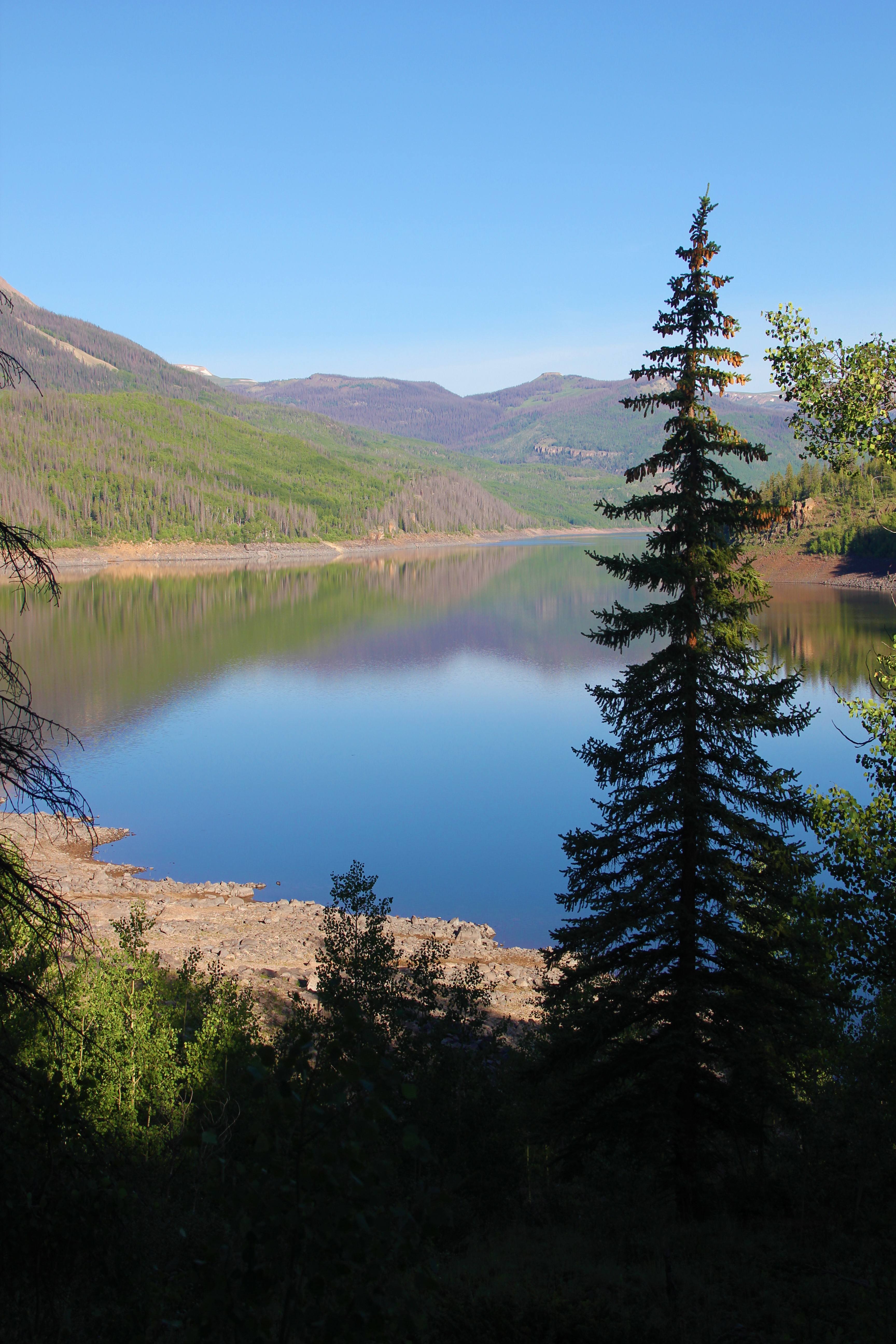
The Weminuche Creek Trail was easy to follow along the slopes overlooking the Rio Grande Reservoir.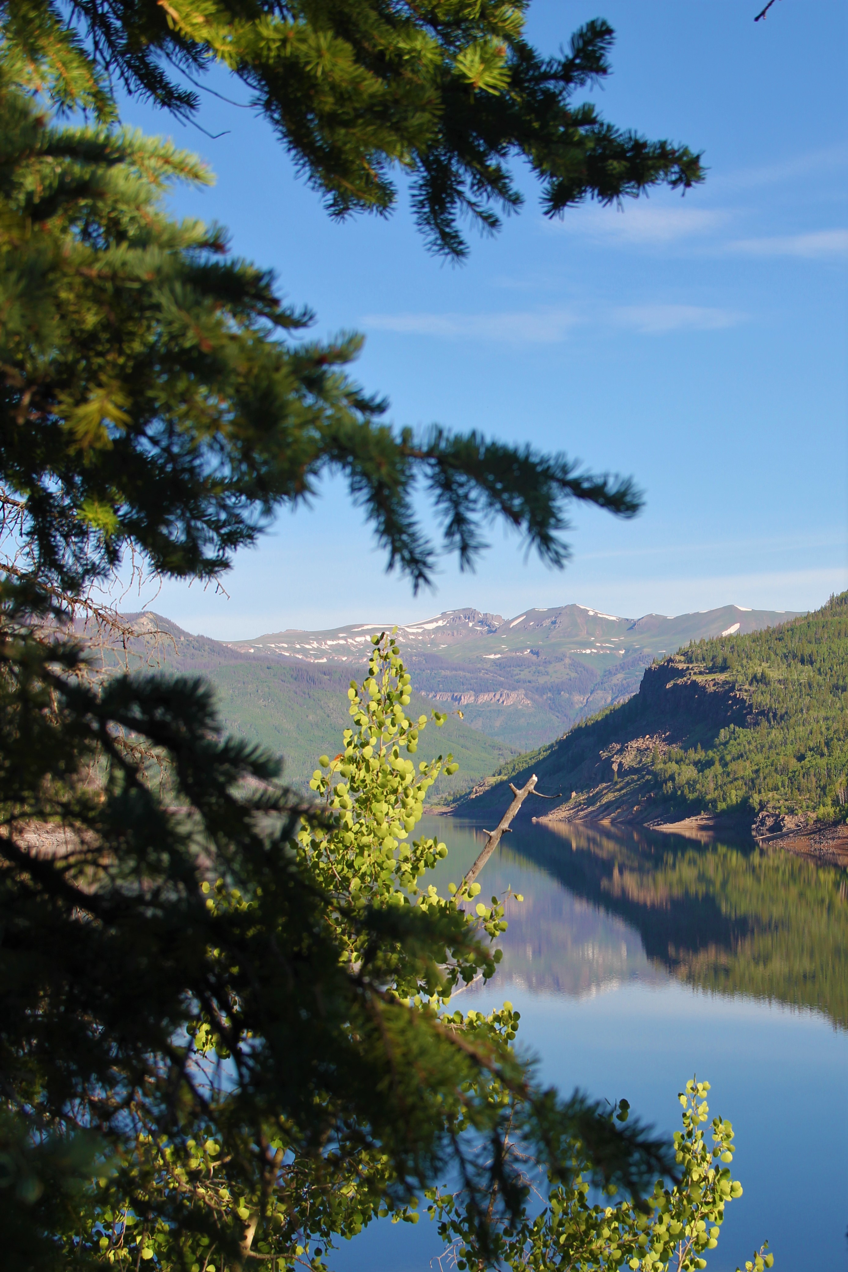
Eventually the trail turned into the Weminuche Creek basin, taking us across a sturdy bridge over the rushing waters. We hiked uphill along the creek, then topped out and emerged from the trees—into a beautiful high wilderness valley above 10,000 feet. We would hike in this valley for several more miles before finally coming to the Weminuche Pass on the Continental Divide at 10,600 feet, mile 5.5 for the day. This entire valley reminded me of a miniature—but more remote—version of Lamar Valley in Yellowstone.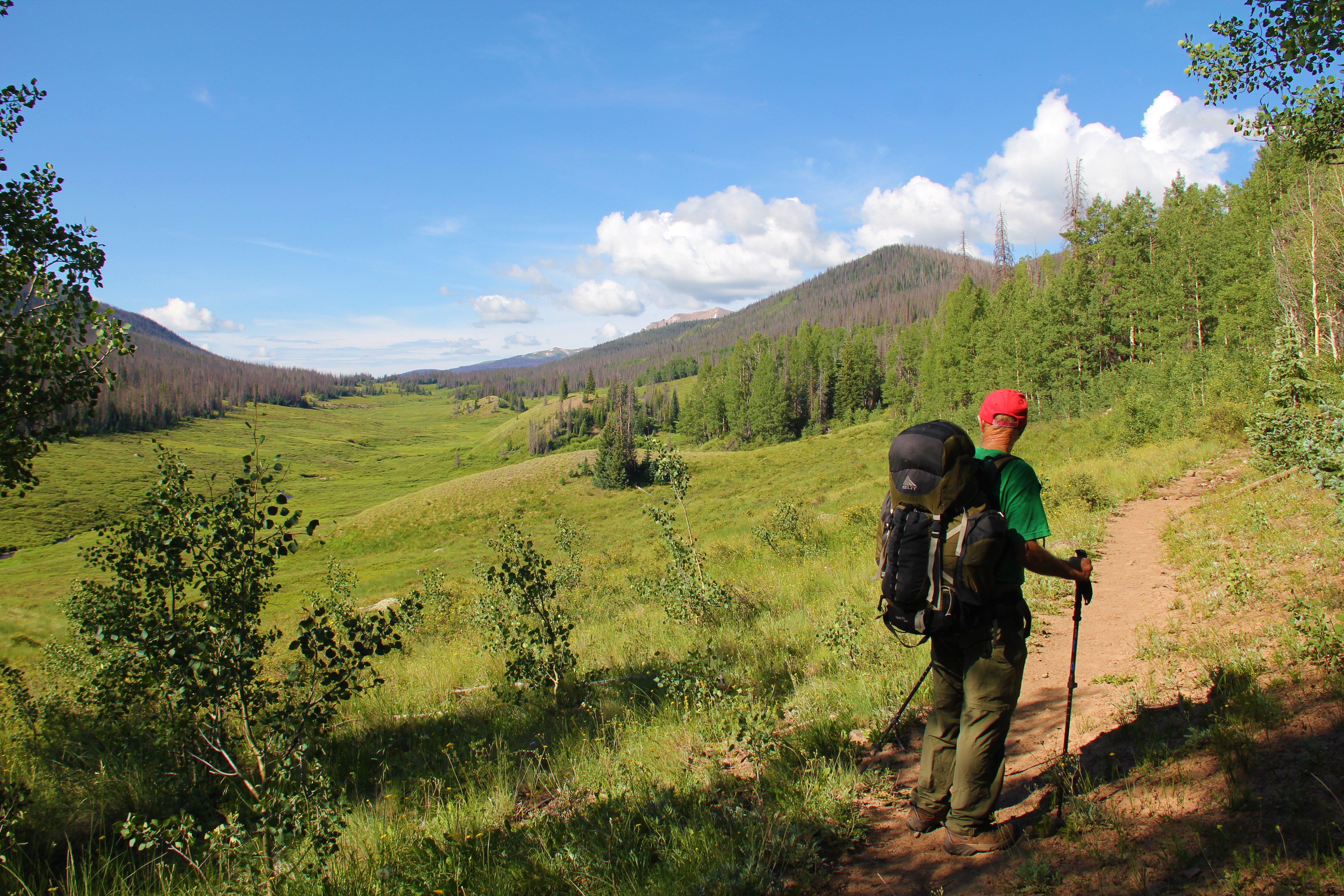 We had initially planned to hike all the way to Opal Lake and The Window today, but decided to set up camp at Weminuche Pass first and continue our day with lighter packs. It was only 10:30am.
There had been blue skies up until now, and some clouds were just starting to form over the high peaks as we set up our tents. Just about the time we had everything set up and decided to continue hiking, the skies darkened dramatically. We could see rain sweeping up the valley toward us from the south, and in a matter of a minute or two the storms overtook us.
We retreated to our tents, thinking the storm might pass us by. But it would continue to thunder and rain for most of the afternoon, with the clouds on the higher peaks remaining dark and ominous right on through the day. We spent most of our time in the tents, for there was nothing else to do.
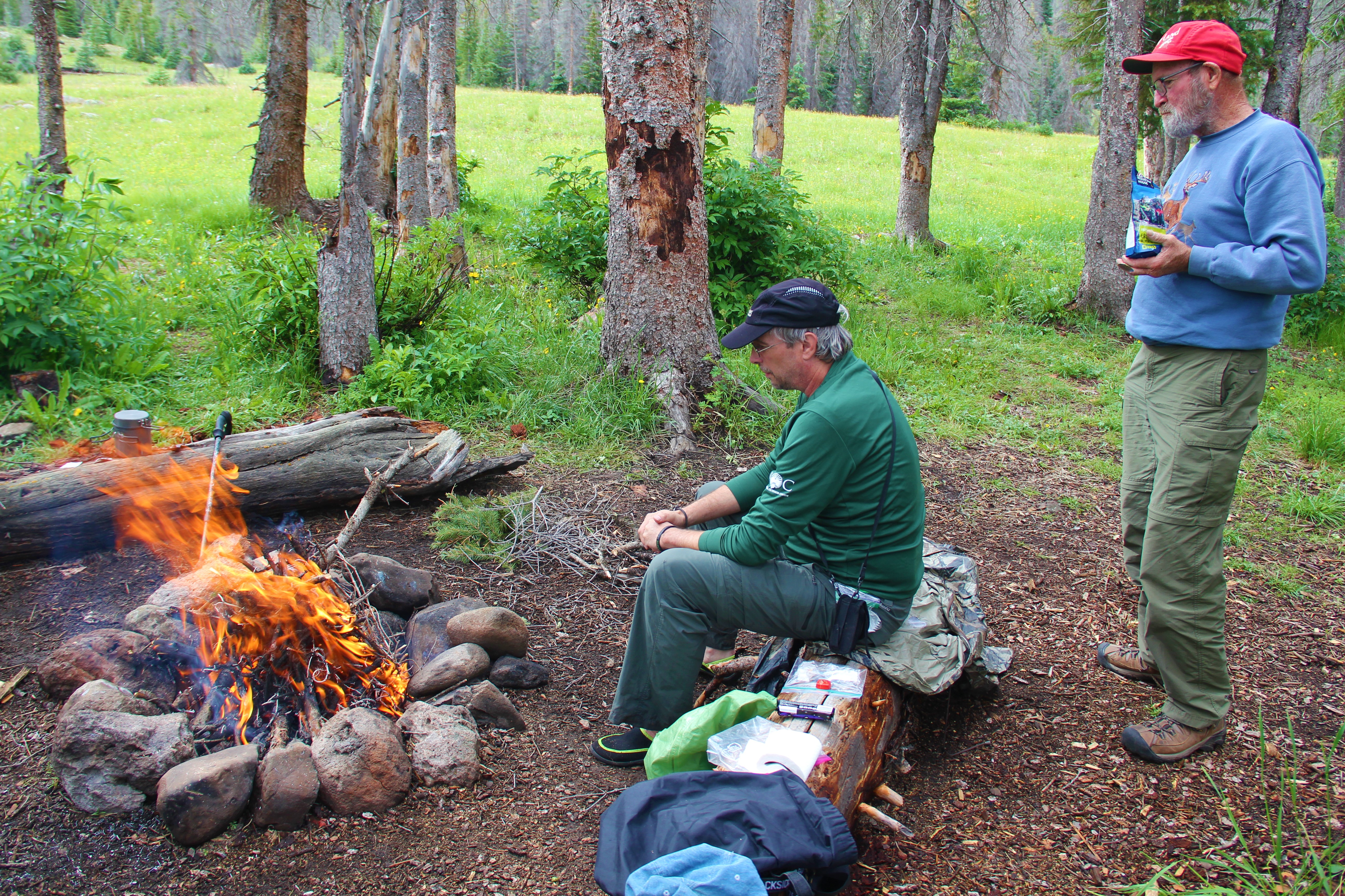
Twilight at 2pm: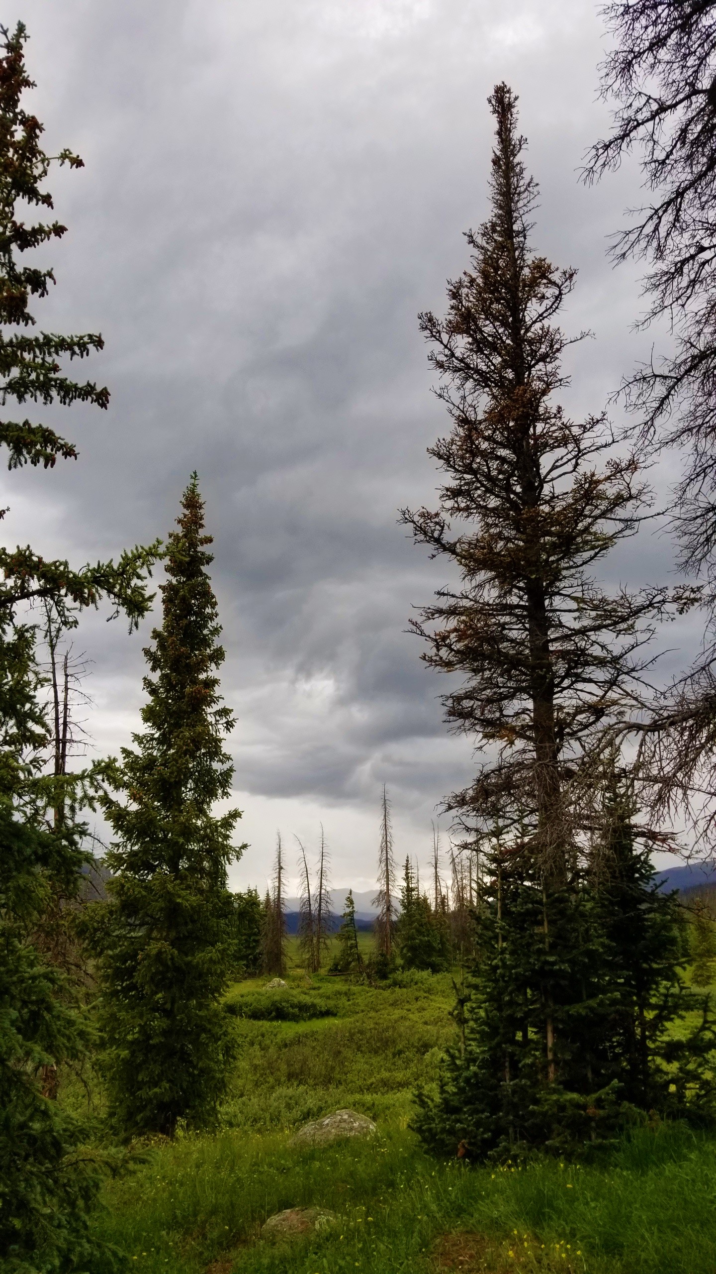 Finally, we had a break in the rain for the evening, and the storms dissipated for the night. Even with all the rain, we were able to find some dry sticks under the shelter of low-hanging evergreen branches, and we got a good fire going. We had our Mountain House dinners and enjoyed a good time talking and sitting around the fire on the giant logs.
 We were visited several times by a number of mule deer, including a nice 9-point buck, several does and a fawn, and we were able to get pictures and video of most of them.
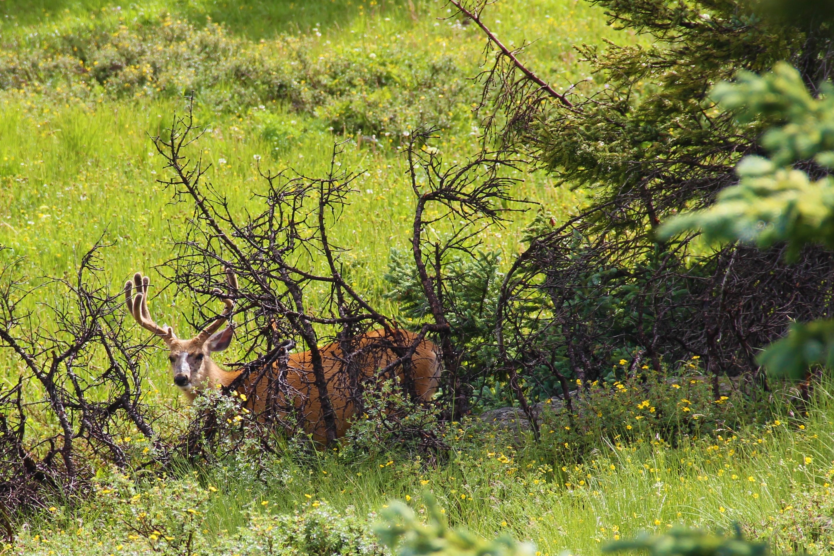 So, after a much shorter first day than expected, we settled back into our tents for the night, anticipating a long day two.
We hit the trail at 5am this morning. The forecast was promising more of the same as yesterday, but we were determined to go as far as we could before the storms hit again. 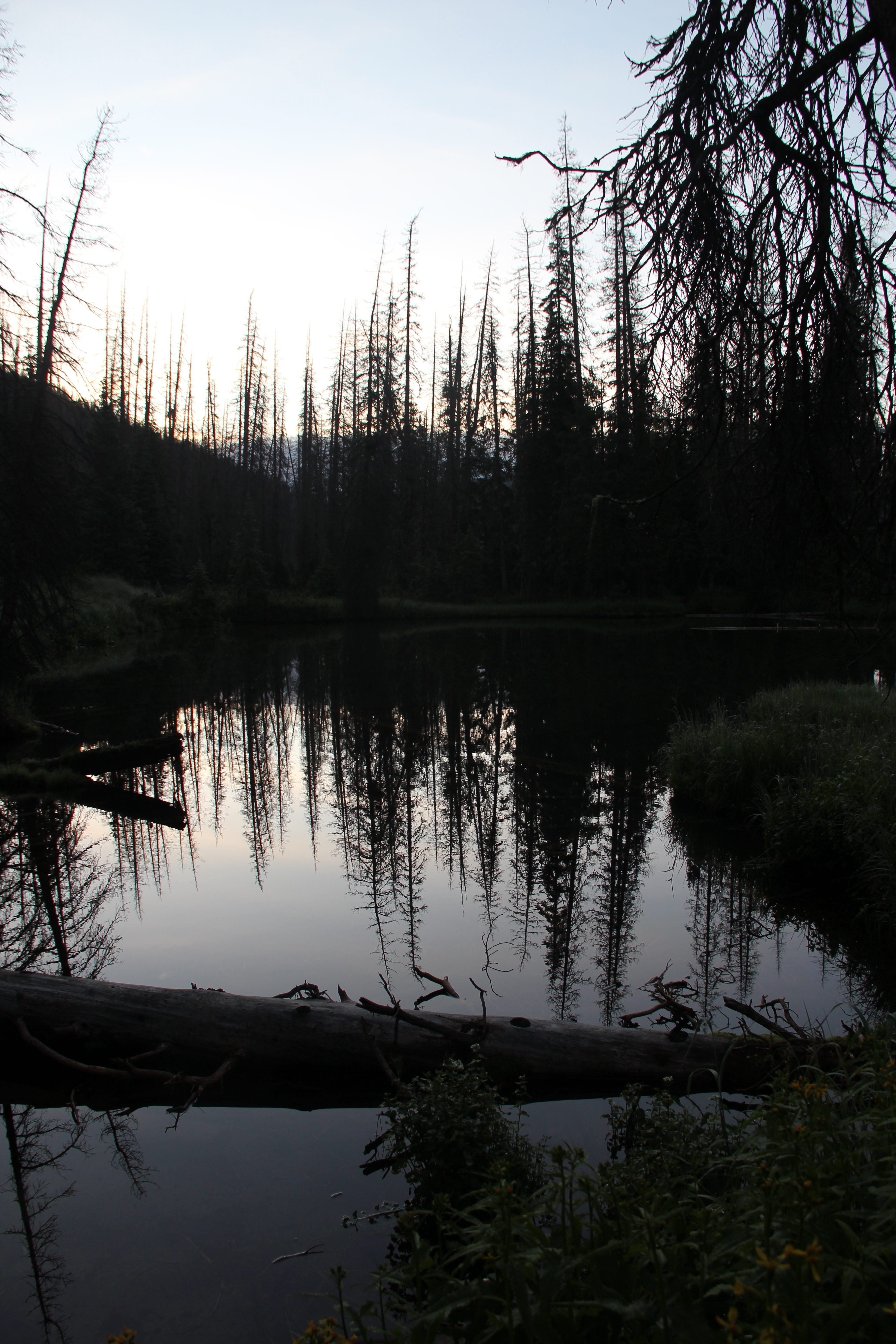 The trails in this valley turned out to be a bit different from what my research had indicated. What used to be the Skyline Trail (later renamed “Opal Lake Trail”) did not appear to be maintained, or much of a trail at all anymore, so we opted instead to continue another mile on the trail from Weminuche Pass to the Continental Divide Trail.
The CDT, or a combination of this and the Rincon La Vaca Trail (again—not clear) would take us the rest of the way up to Opal Lake. For those who follow: when in doubt, just continue up—eventually it will get you where you need to go.
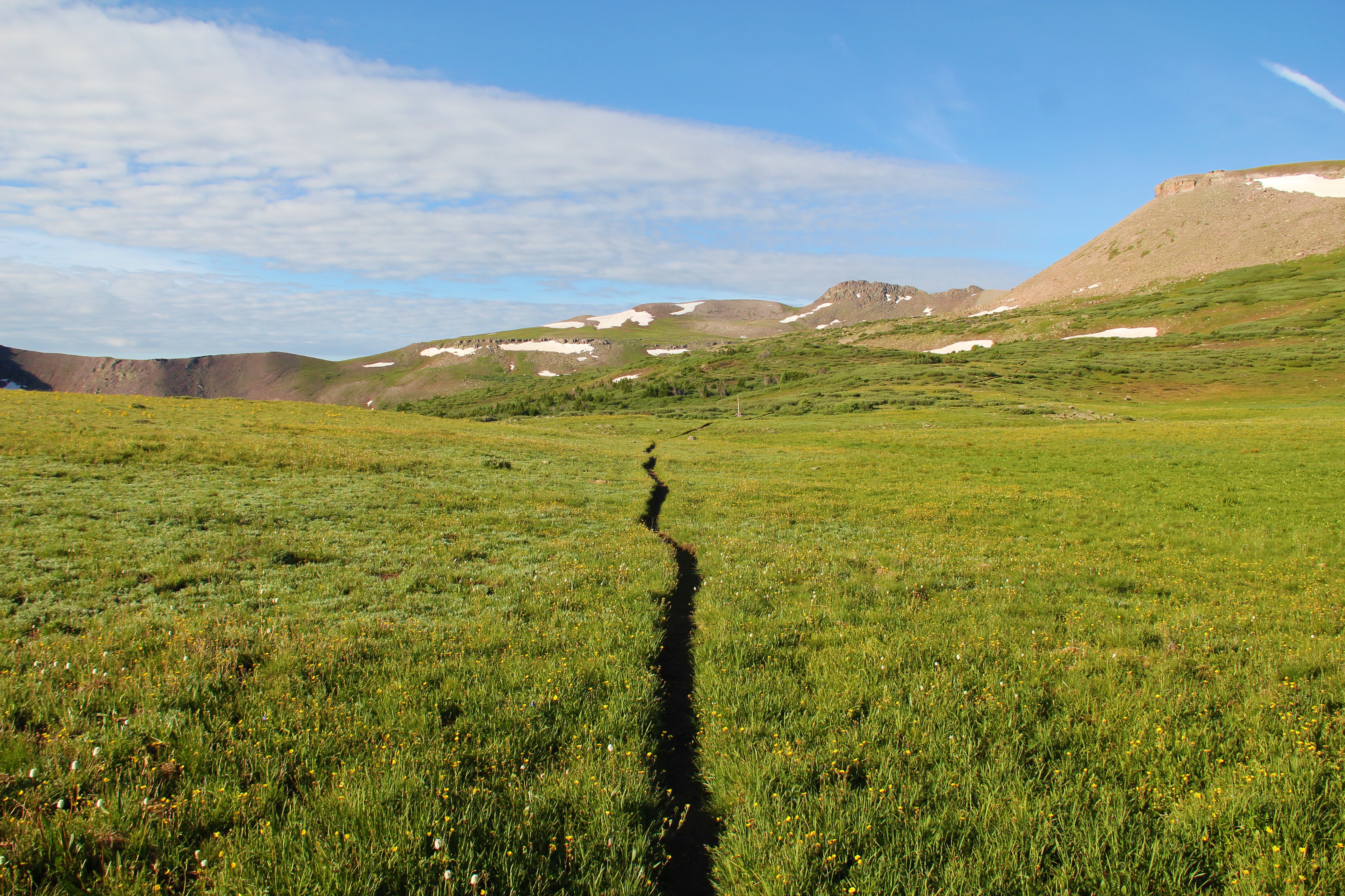
This was a pretty section of trail, leading up through alternating thick evergreen forests and lush, open hanging meadows. There were wildflowers aplenty, and rushing water including occasional cascades and minor waterfalls. We stopped at one particularly flat and scenic high meadow, where we sat on a log to eat and rest a moment. While we were there, a mule deer doe walked by, only a little curious by our presence, but otherwise undisturbed.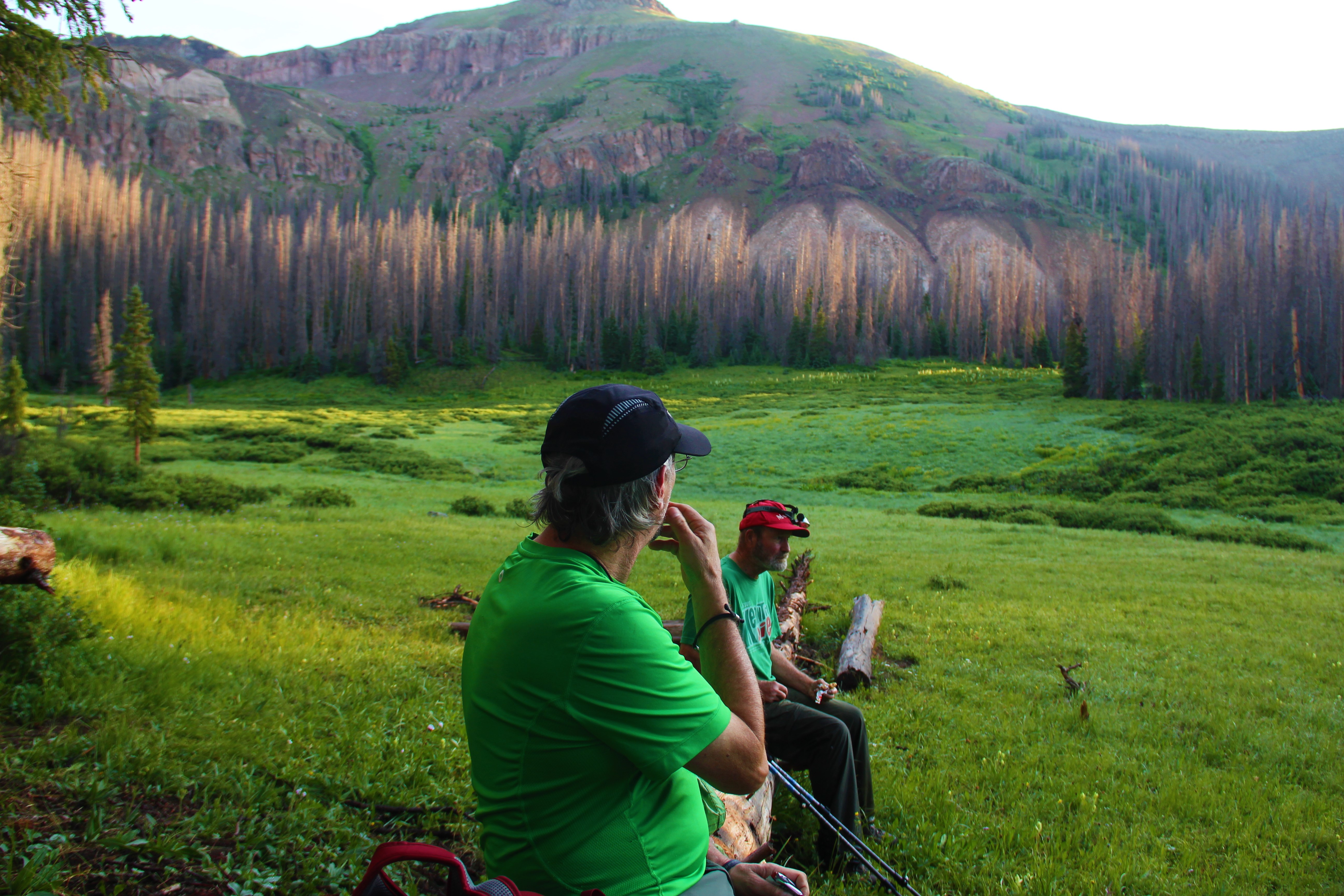 The trail eventually emerged on the upper plateau below Rio Grande Pyramid and The Window, but it was about another mile before we finally came to humble little Opal Lake. A national forest worker was packing up camp there; he told us he had gotten stopped in the storms yesterday and had to spend the night there, but he was intending to hike farther out the trail to meet with his crew, which he would do this morning.
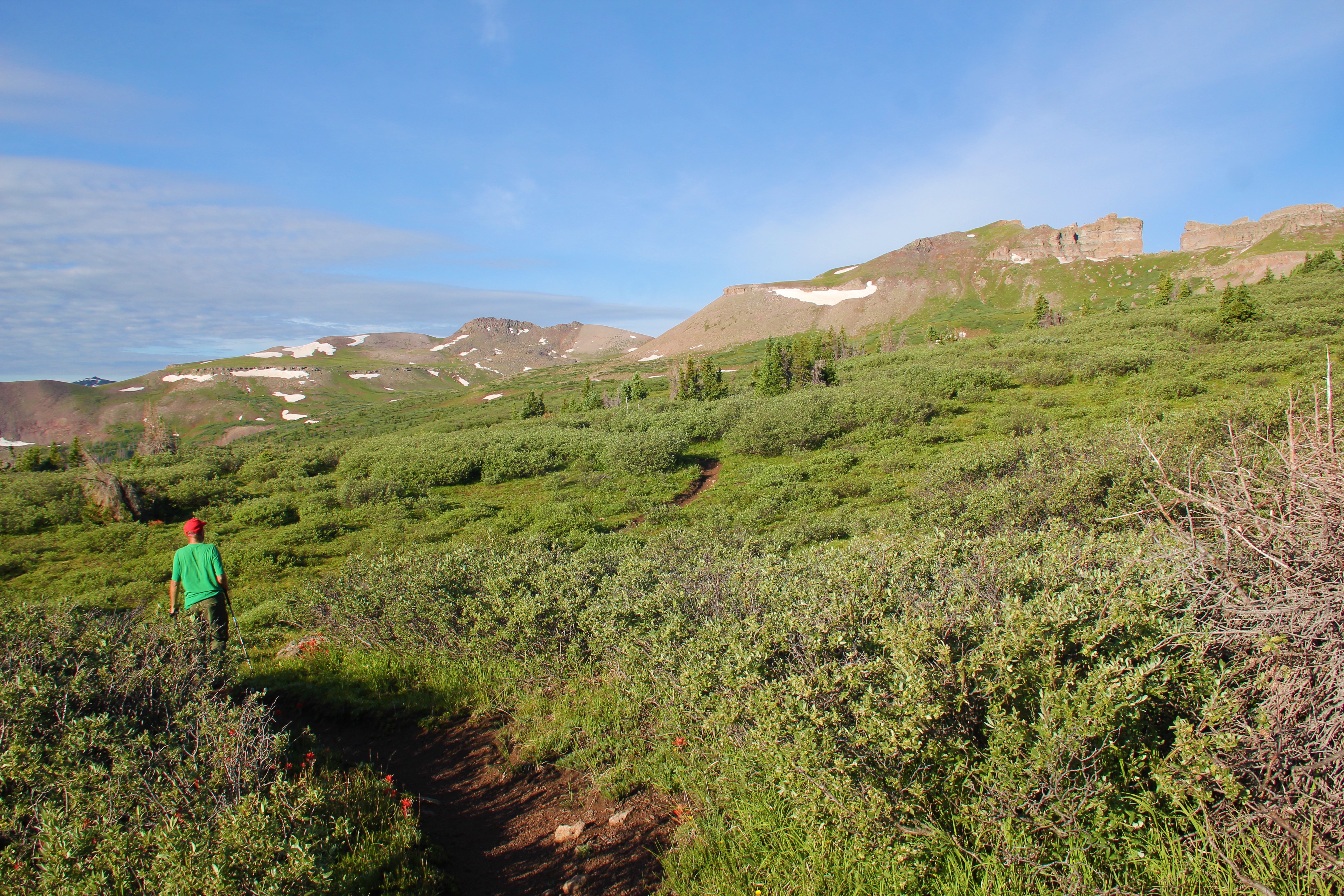
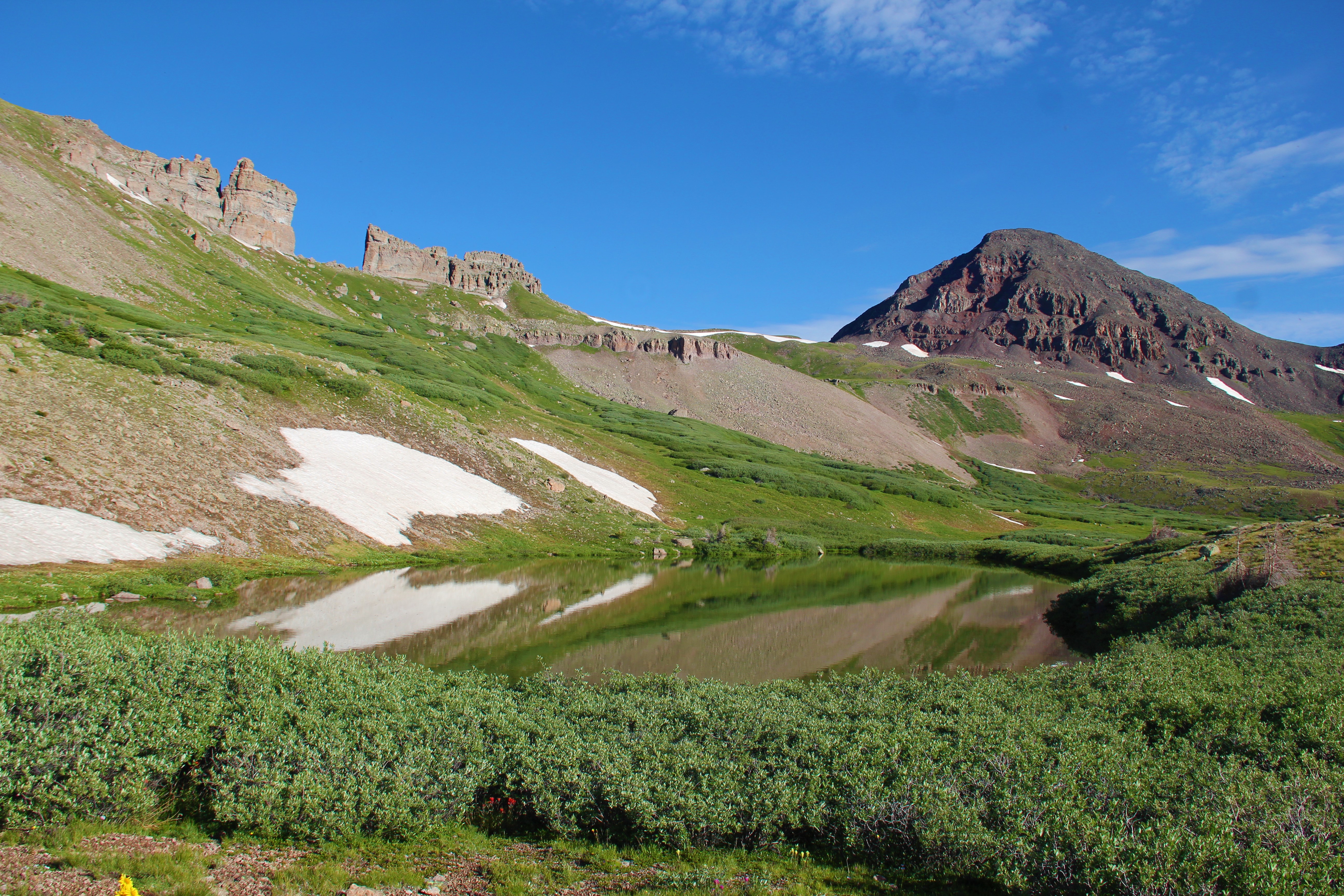
 Meanwhile, we left the lake and headed up toward The Window. This well-named feature is basically a several hundred-foot section of “missing wall” along an otherwise solid line of cliffs that make up the ridge leading south from Rio Grande Pyramid. It looks like it was chiseled perfectly, with each side of the opening formed by sharp corners, with a perfectly flat shoulder in between forming the bottom section of the giant-sized window pane. We also were able to note the giant boulders lying on the slopes below either side of The Window—obvious remnants of what had one time filled in the opening.
The only reason we can figure this isn’t a more popular tourist destination is that it requires a twelve-mile hike one-way. Plus, it is perched at 13,000 feet on the Continental Divide, well out of the reach of day-to-day humanity.
It was a steep walk up the grass slopes before we finally arrived at the amazing feature at 9:30am. The view to the west was worth the walk. The Grenadiers of the Weminuche rose majestically—taunting me for future journeys. As a bonus, a herd of elk lay on the grassy knob below us.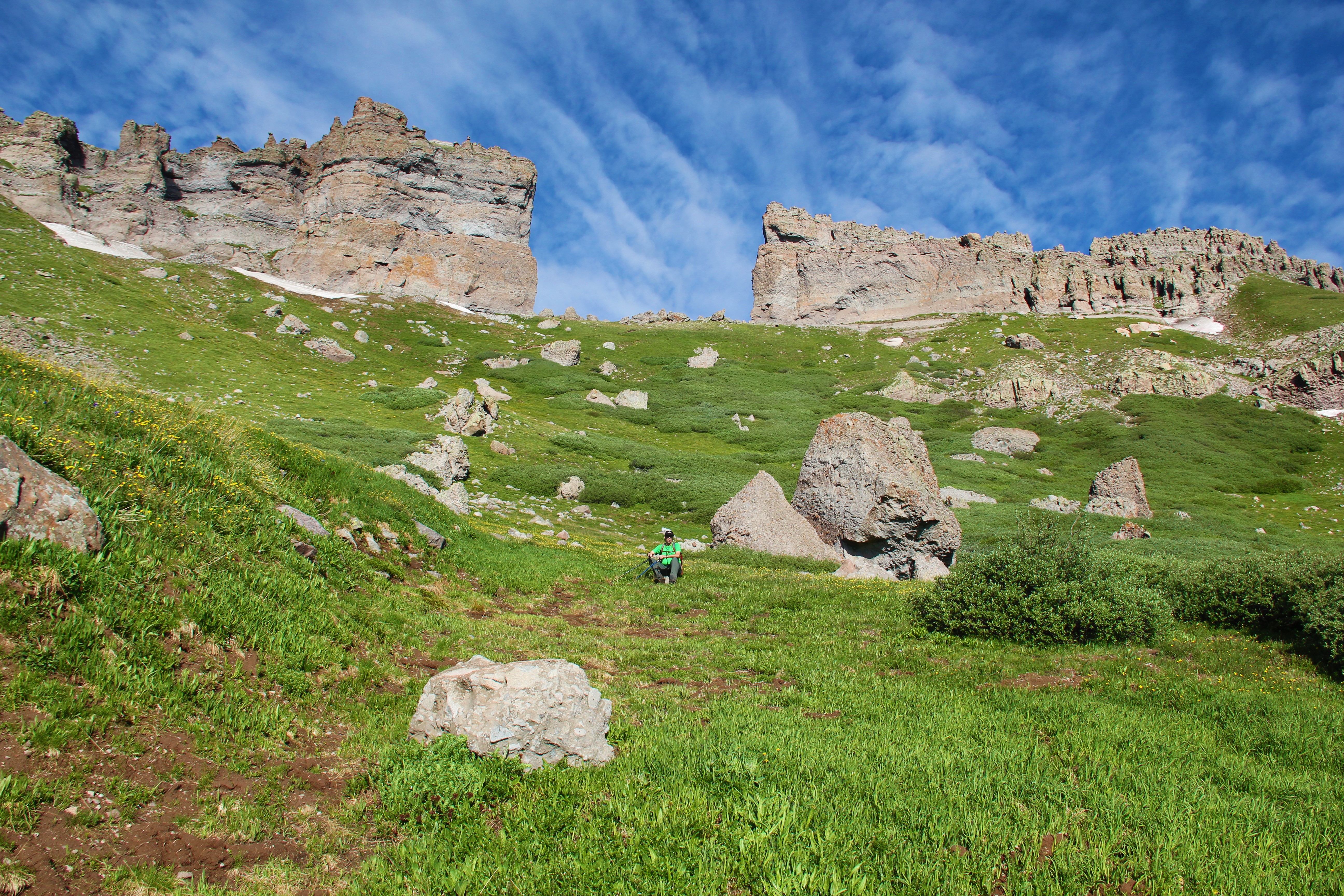 But, with the threat of impending bad weather, we did not stay long. Dad and Greg had decided not to go for the summit of Rio Grande Pyramid, but instead take their time getting back down to lower terrain. We stayed in communication via radio, as I contoured the grassy then talus-slopes over toward the Pyramid’s east ridge.
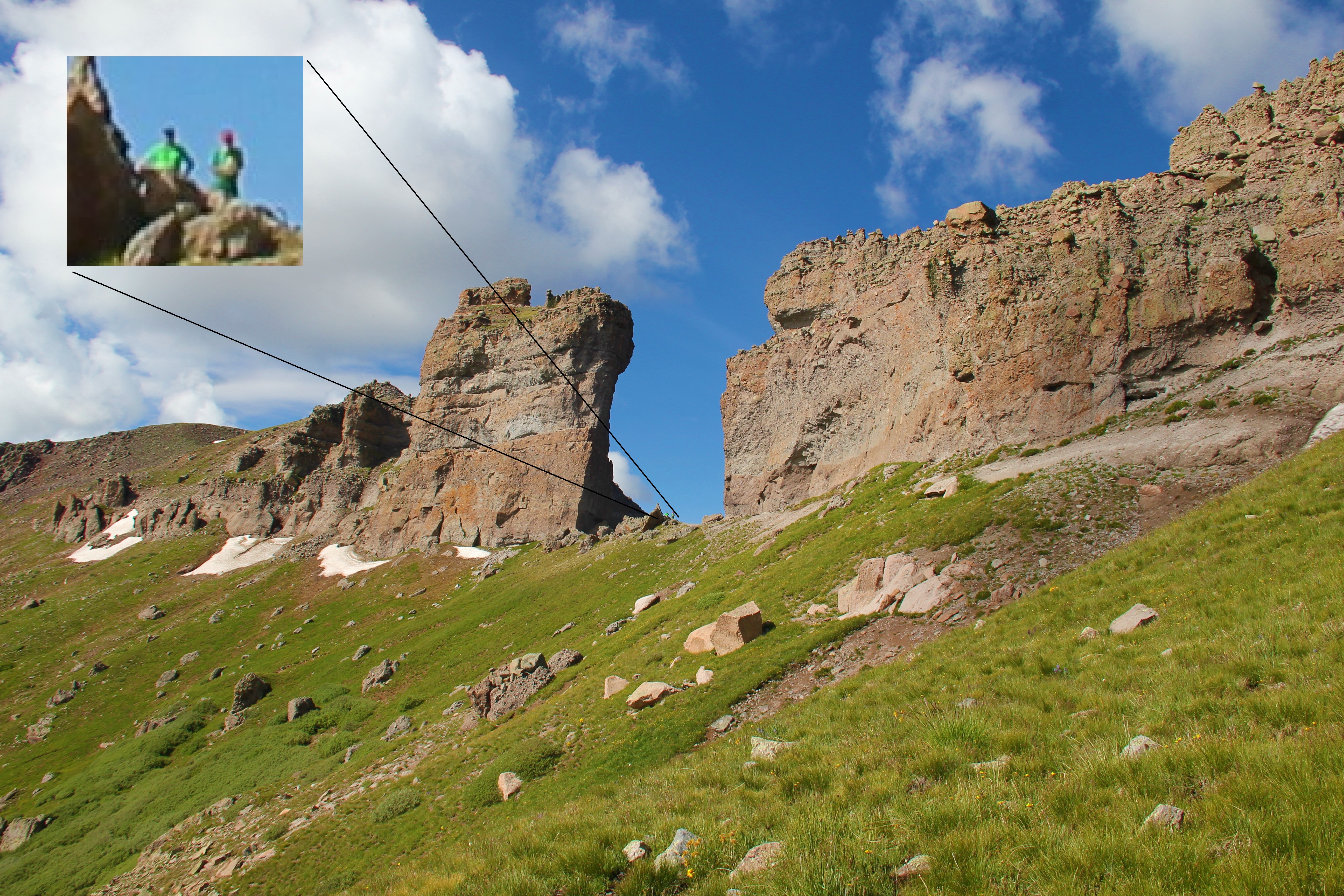
Cumulus clouds were beginning to form, and the toughest climbing lay ahead of me. Thankfully, the lightning held off. I felt sluggish as I worked my way up the steep, and sometimes loose talus. There was a good bit of snow to my right, but I was able to avoid all of it, finally topping out at the summit of Rio Grande Pyramid at 11:15.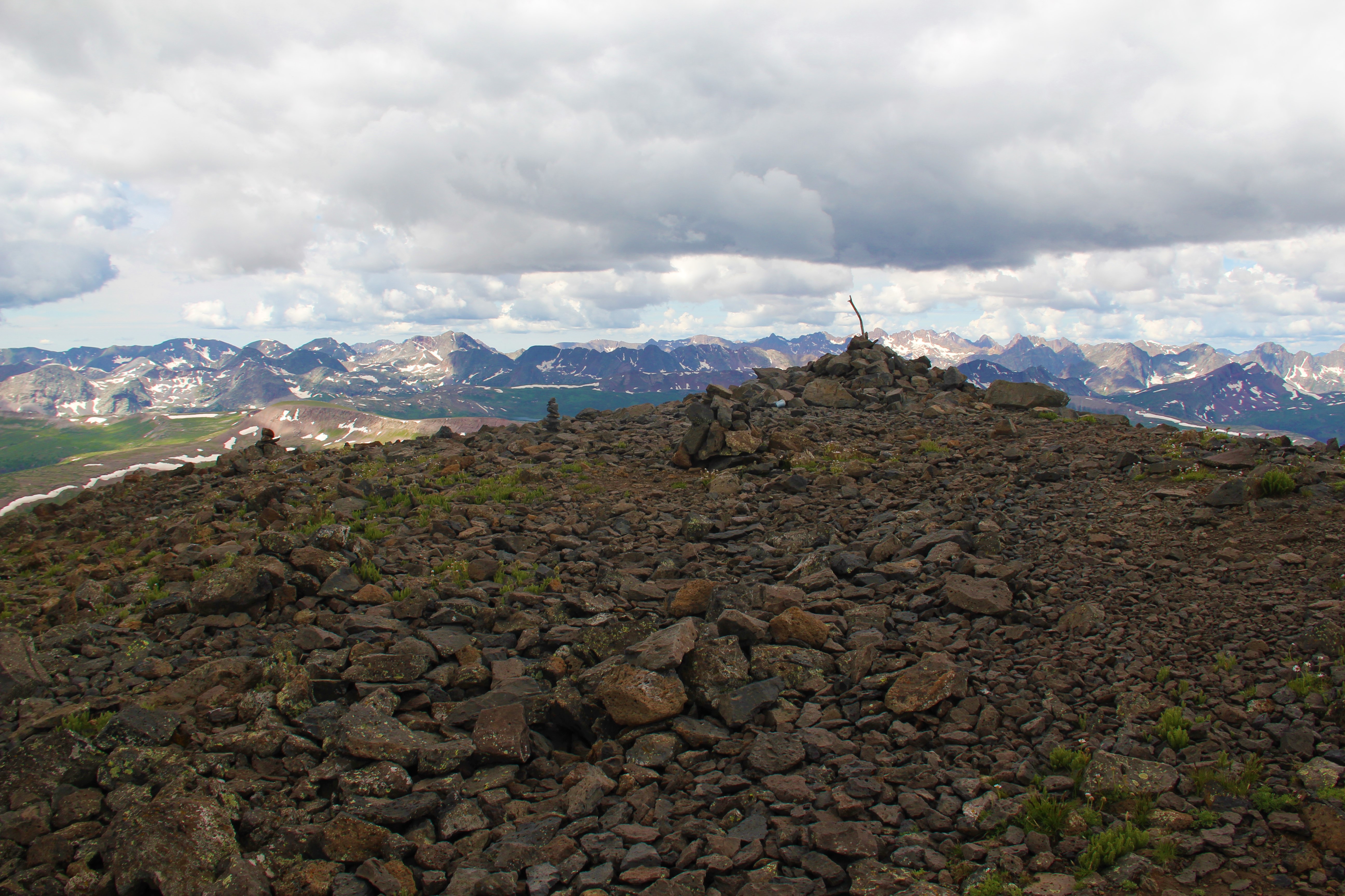
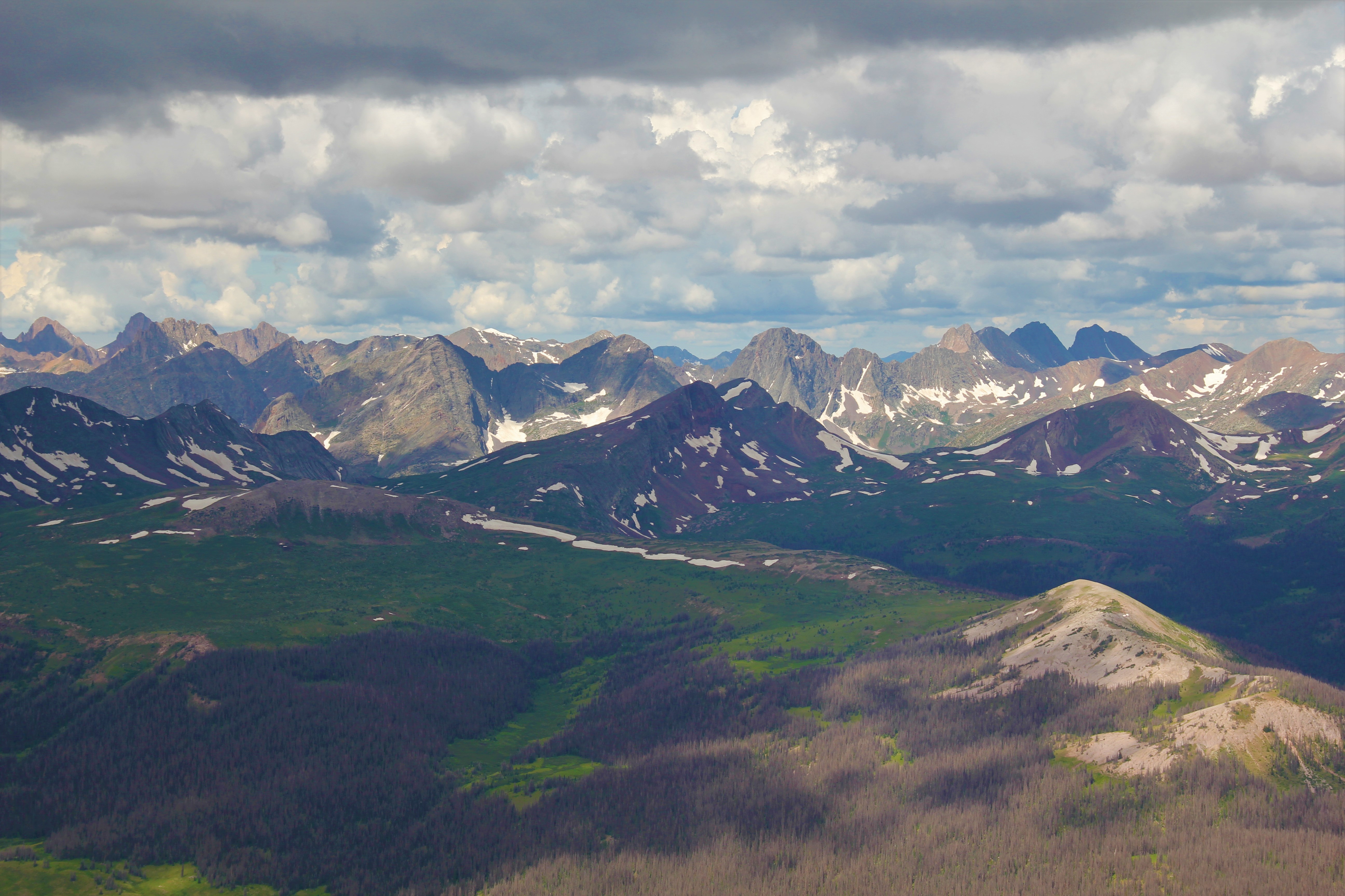 The view was tremendous, but I only stayed about eight minutes. The weather seemed to be closing in, and I knew there was a lot of work ahead of us. I snapped some pictures, signed the overly-full summit register, chugged some water, and headed back down.
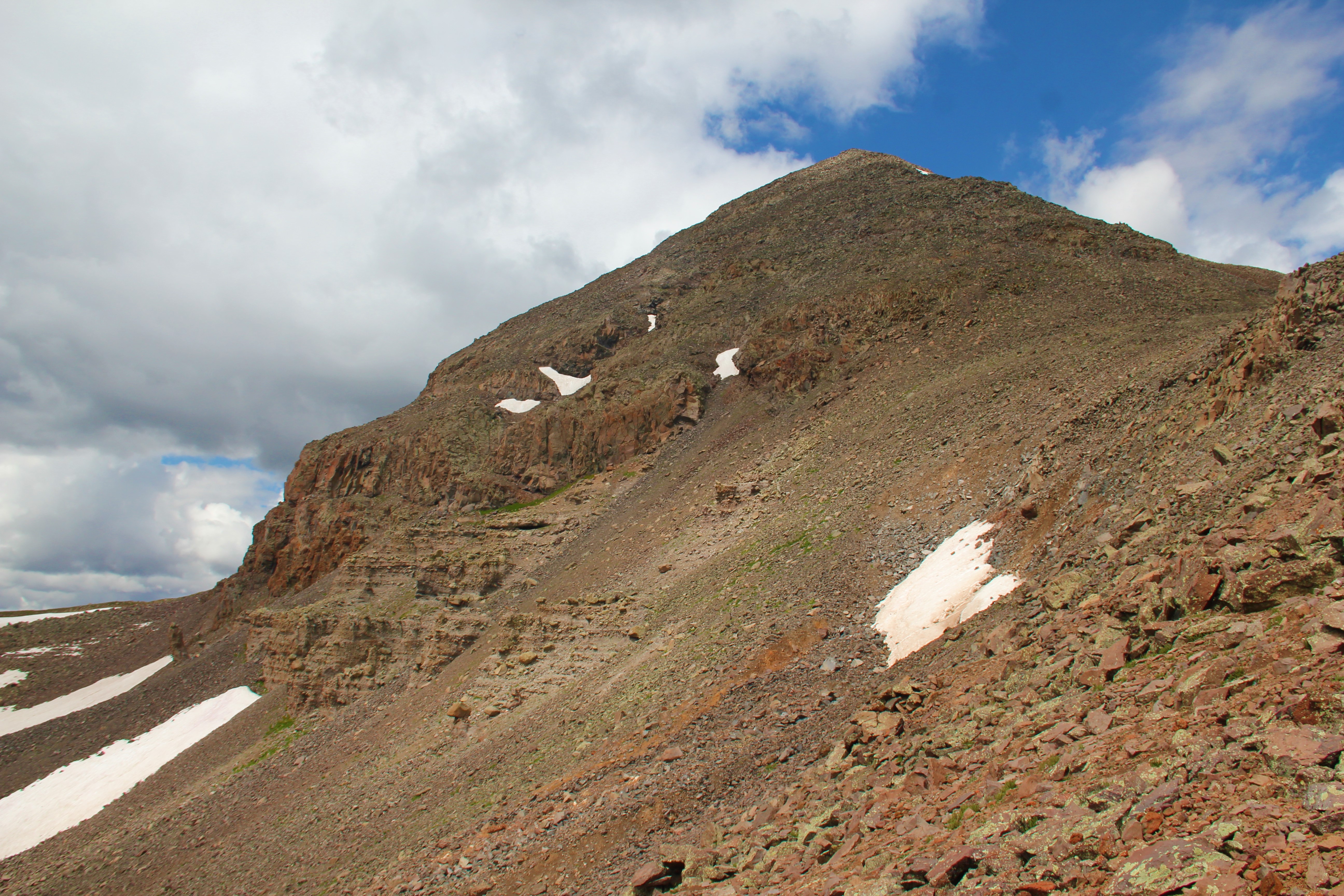 Shortcut time. I bushwhacked down scree slopes, then unstable talus, then swamp-lands and head-high willows before finally falling back onto the Continental Divide Trail. I caught up with Dad and Greg in the lower valley about a mile before camp.
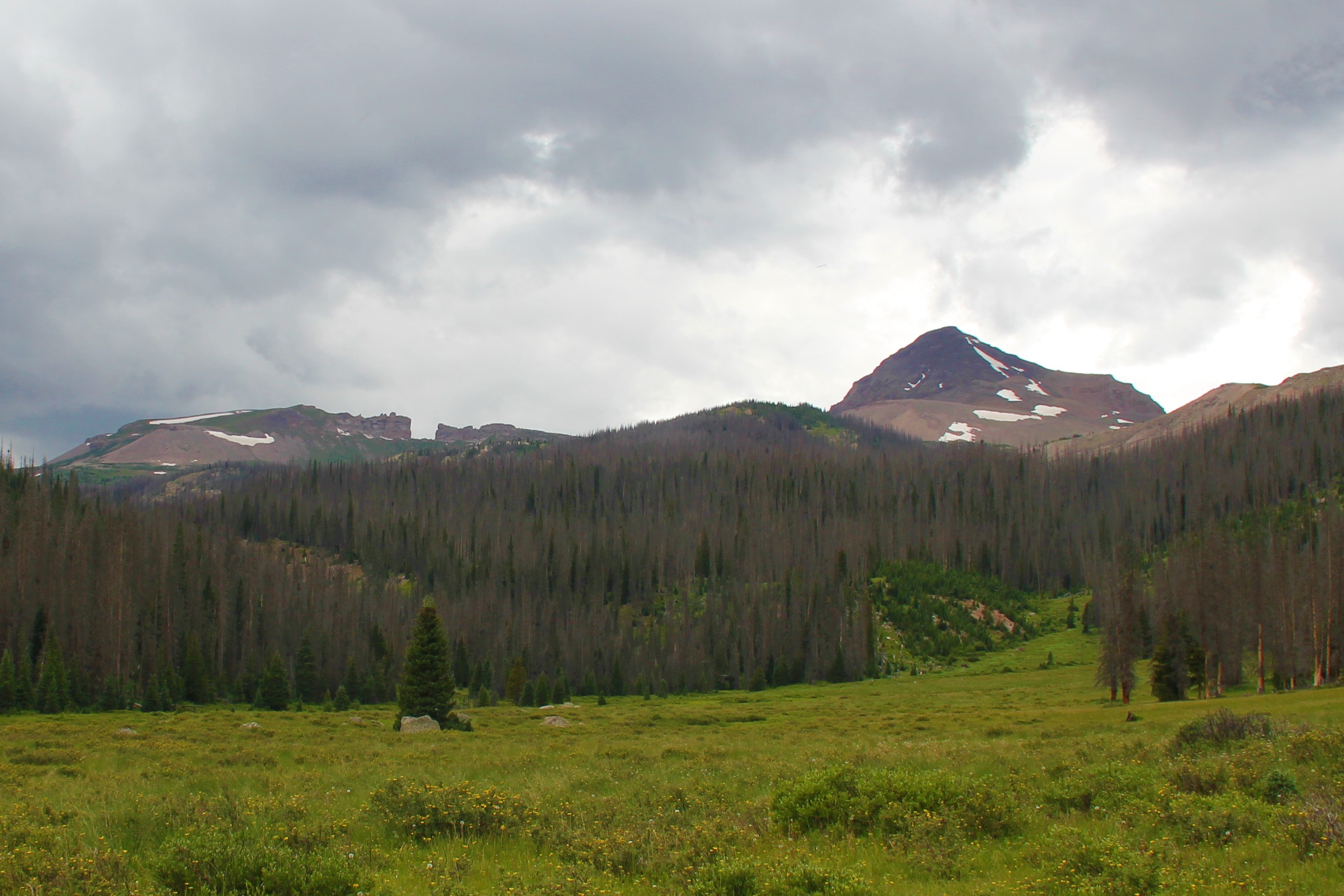 I felt rejuvenated after our stop at camp, where we packed things up. It was still a long hike out, but the trail was easy. We had some rain on the way out, just a light drizzle, but stayed just ahead of the thunderstorms the whole way. We arrived back at our vehicle at 5:30pm.