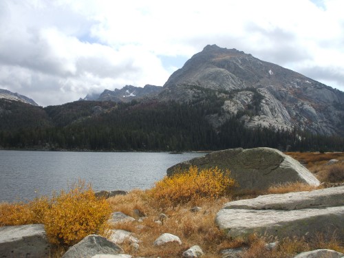
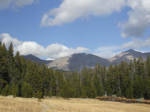
Near Big Sandy Opening
The first part of my adventure would be getting to the trailhead. I read up on getting to Big Sandy Opening, and set aside a whole afternoon for this project alone. Making my way to the trailhead turned out not to be a problem; it was just long. Forty miles of dirt road from South Pass, I finally found myself at the trailhead and began to set up camp. From what I have read, this trailhead is a crowded place in summer, but on this first week of October my only neighbor was a squirrel. There was a creek rushing by right outside my tent, and I would sleep like a baby.
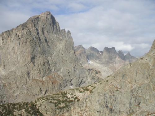
Half an hour before daylight, I started back the Meeks Lake / Big Sandy Trail. Six miles of pleasant wilderness and an easy-walking trail lay ahead. Eventually I arrived at Big Sandy Lake, and behind the lake I could see the Continental Divide trio of Big Sandy Mountain, Dog Tooth Peak and Mitchell Peak. I continued following the trail toward Jackass Pass, and just as an unnamed lake came into view I turned uphill onto the rocky slabs leading to the Dog Tooth-Mitchell saddle.
Mitchell Peak
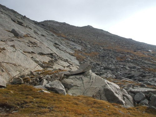
This was excellent scrambling on solid slabs, mostly Class 2, with a good view of the lake below and a widening peek into the Cirque of the Towers. Eventually I came to a large flat surrounded by boulders around 11,000 feet. This would make a good camping spot, I figured, but not today. The wind was howling at this point, and the skies growing dark. I put on some more layers, then continued upward into a talus field that grew to larger boulders as I climbed. Steeper, wet slabs rose to my left toward Mitchell Peak, but I avoided that area and instead continued boulder-hopping all the way to the northwest ridge of Dog Tooth Peak.
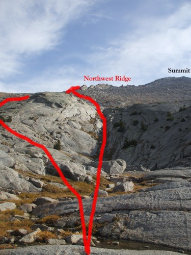
The ridge the rest of the way to the summit was a surprise to me. It consisted of truck-size (or larger) boulders, which were strewn out in no particular order and posed some interesting obstacles. At first I stuck to the left (north) side of the ridge-line, where drifts of early-season snow were filling in the gaps between rocks. At one point I had to crawl through a triangle-shaped passage between rocks that made me glad I am not claustrophobic. Nearer the summit, I found it easier to keep the challenges to Class 3 scrambling by moving over to the right (south) side of the northwest ridge.
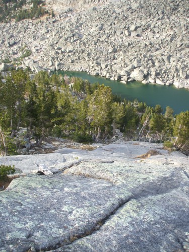
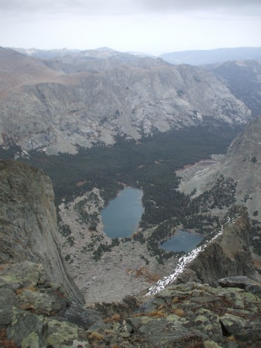
Glimpse of Cirque of the Towers
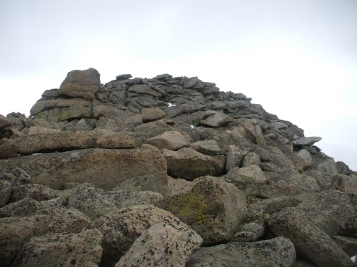
I arrived at the summit around noon, but by this time sleet was pelting me and the wind was not letting up. The view all around me was great, including my best look yet at the Cirque of the Towers, however the weather was only deteriorating. What had apparently been a summit register remained only as a broken glass jar.
I continued down the south ridge of Dog Tooth Peak, considering but then dismissing a traverse to Big Sandy Mountain. The wet boulders were slippery now, and the path downward remained surprisingly steep. I continued boulder-hopping the rest of the way down to a large, suspended grassy meadow around 10,500 feet. There was deer sign everywhere here, and as I reached timberline I continued following deer trails down into the forests.
Now amongst the trees, I figured I would find easy passage back down to Big Sandy Lake, but instead I found myself at the top of some cliffs that would need to be rappelled. Eventually, by trial and error, I was able to locate a very steep and slippery deer trail that wound downhill between the cliffs. I needed to use trees and ledges as handholds along the way to keep from tumbling head over heels. A couple hundred feet below, I could see a mule deer buck working his way through some shrubs at the base of the cliffs, and soon I would be standing on solid, flat ground in his vicinity.
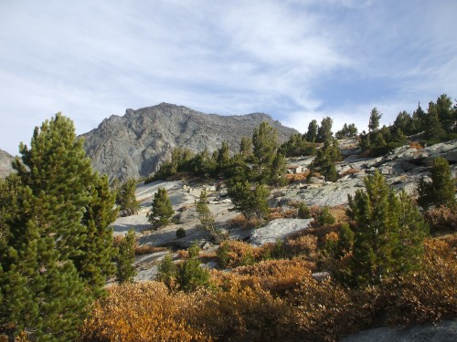
Mitchell Peak, Dog Tooth Peak, Big Sandy Mountain
Back at the lake, I knew the difficulties were behind me. Now, nothing but the six miles of approach trail lay between me and my jeep. During the hike out, I took more time to enjoy my surroundings and take lots of pictures. I saw another herd of six or more deer on the other side of Big Sandy Lake. While I was at the lake, the clouds had completely consumed Dog Tooth Peak, but the skies were beginning to clear. I had not been hiking for long back down the trail before the skies completely cleared, and I almost regretted having left the mountain so hastily. Even though I hiked probably 15 or 16 miles total and was able to make it to a 12,000-foot summit, I know this was barely a taste of what the Wind Rivers have to offer. That is why I was not too disheartened; I know someday I will return to spend more than a day exploring this wilderness.