July 19-21, 2020
Weminuche, Day 1: Purgatory Flats Trailhead to Chicago Basin
Note: I had GPS issues throughout the trip, but Brian’s tracking app had us at 72 miles after six days full of twists and turns and route-finding misadventures. Each day also saw its fair share of elevation gain and loss, which I didn’t even try to keep track of.
Even as I stepped out of my truck at Purgatory Flats Trailhead, the scenery was already photo-worthy.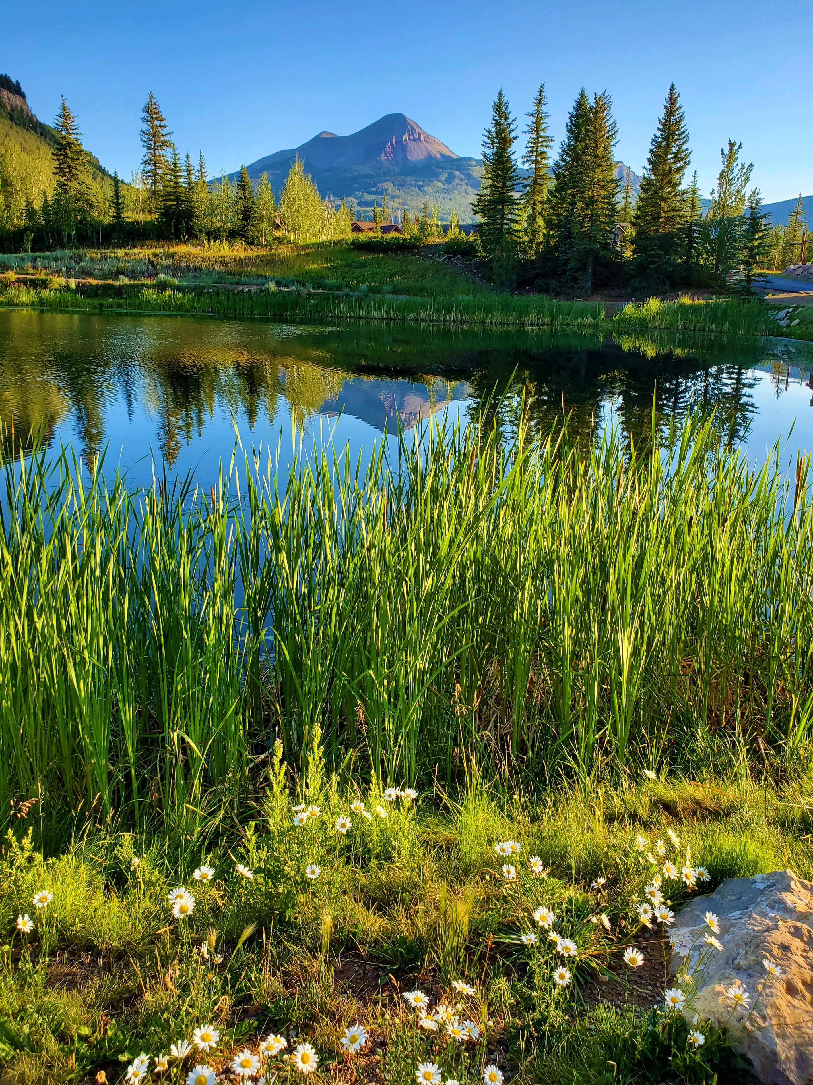 It was a gorgeous morning, and the first few miles to Purgatory Flats and along Cascade Creek went by easily.
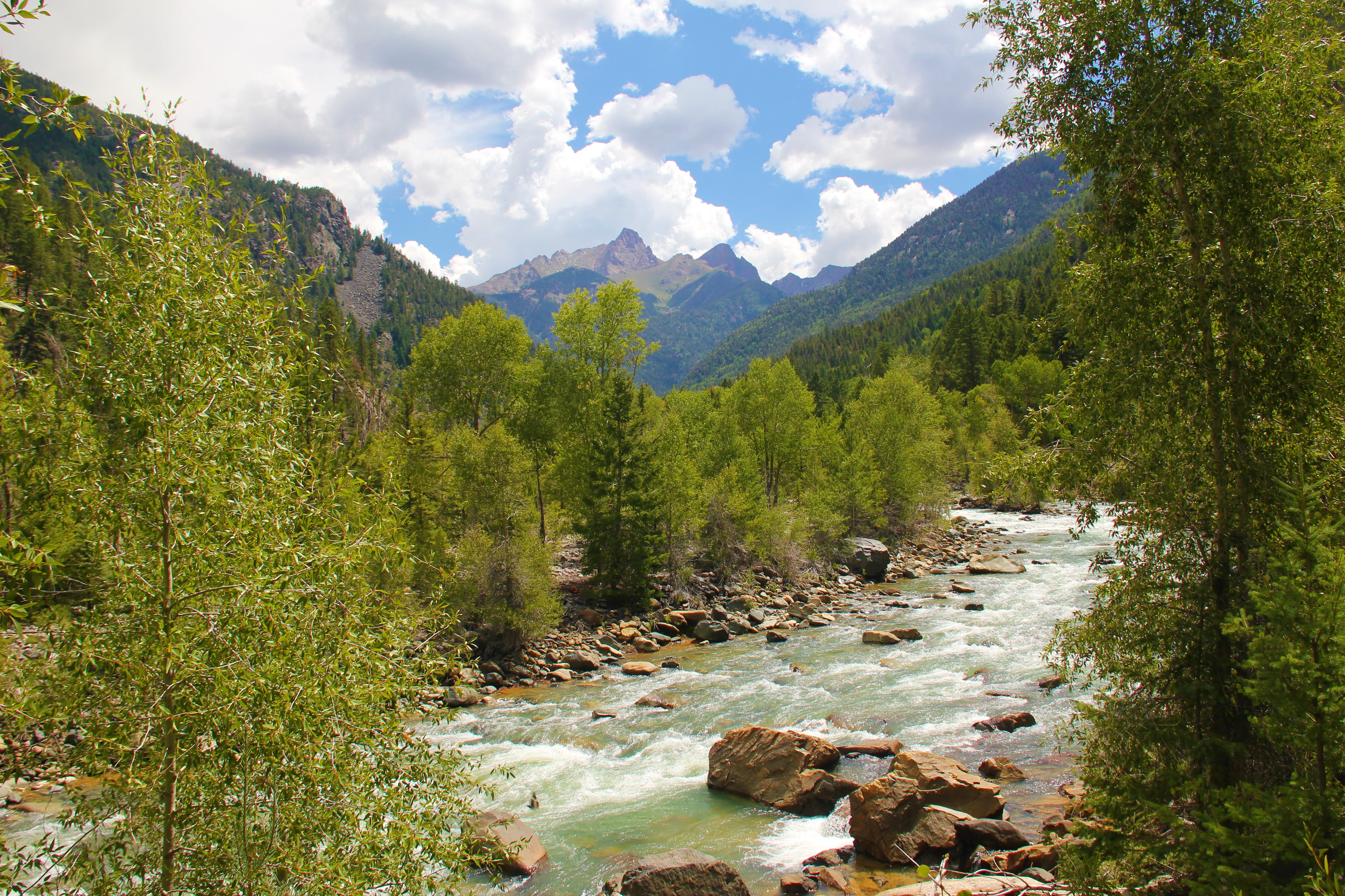
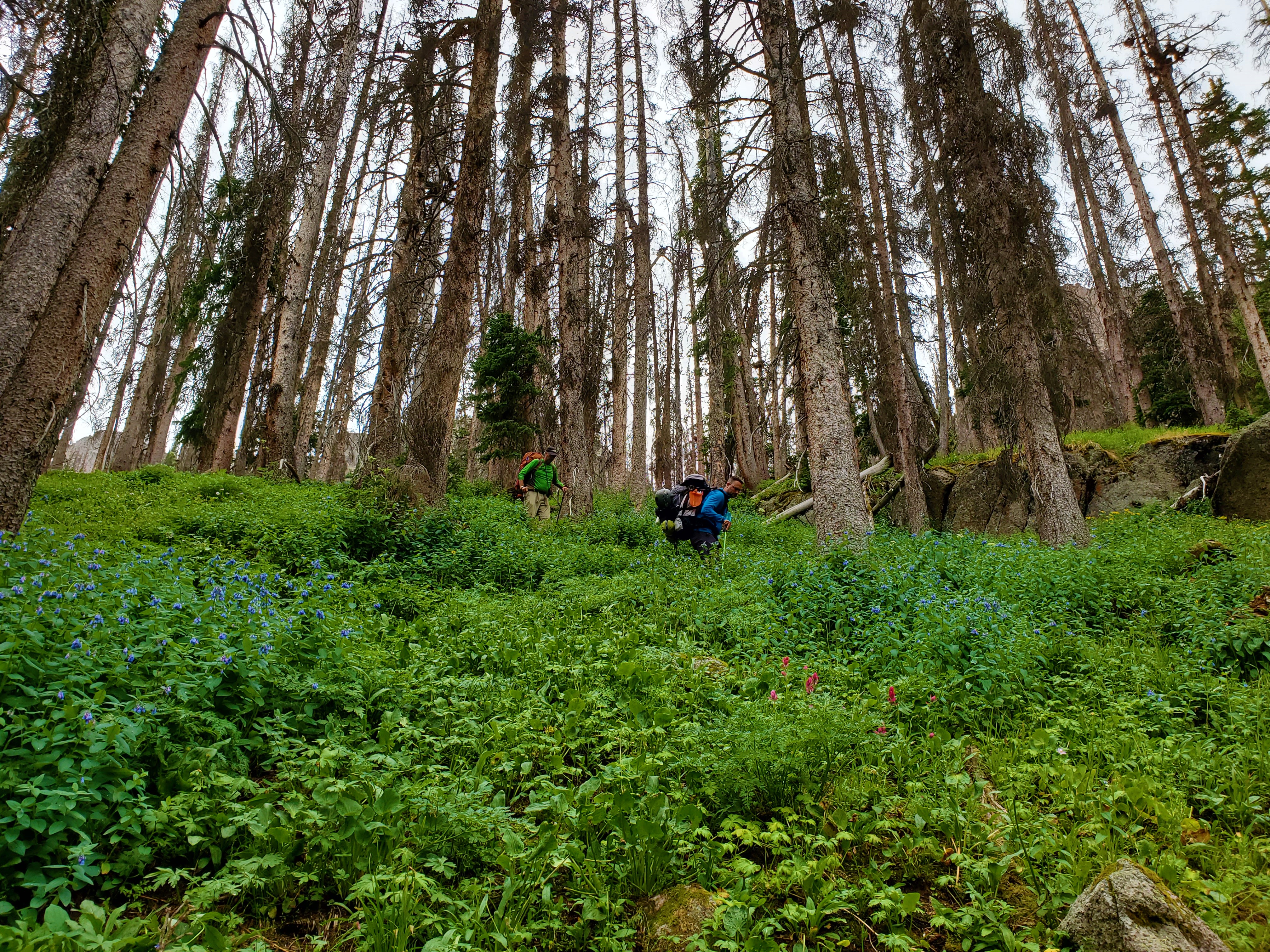
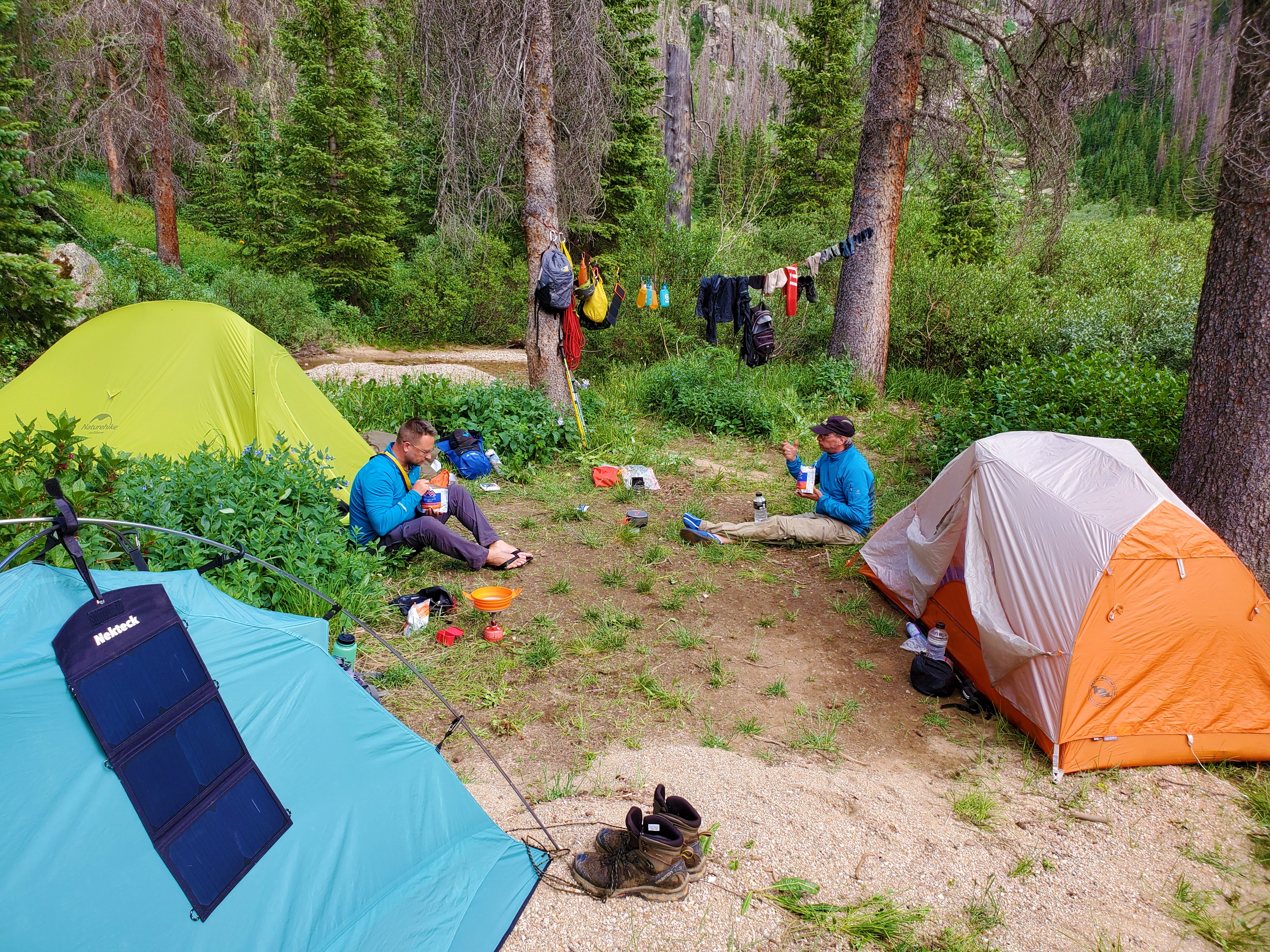
Brian and I did not pack light; with all of our climbing gear and various niceties, our packs easily pushed 60 pounds each. They started to weigh on us as the miles along the Animas River ticked by. The scenery remained world-class, but the midday heat ramped up, and the biting flies and mosquitos introduced themselves in droves. Greg, meanwhile, beasted it up the trail along Needle Creek in search of a campsite for the night.
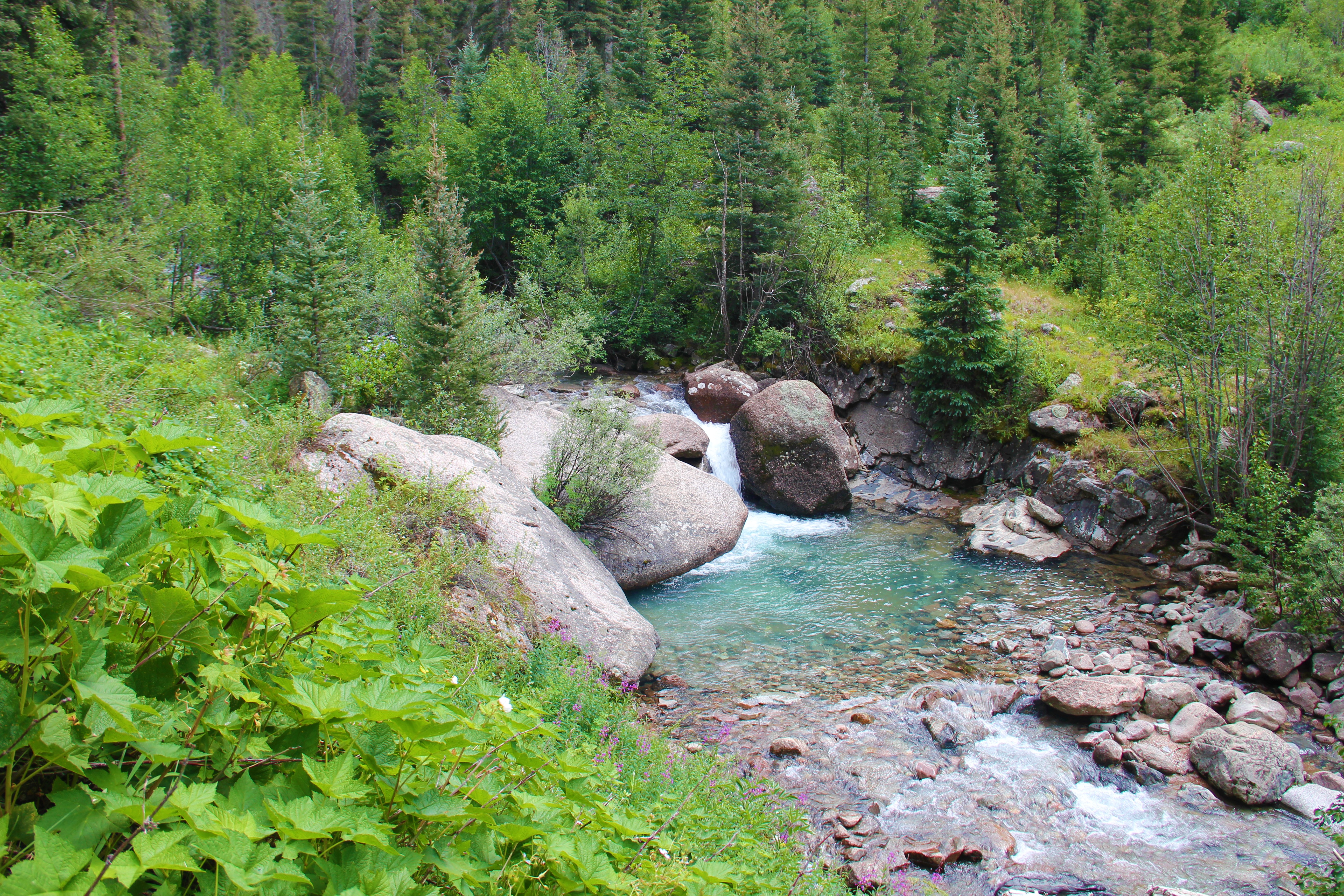
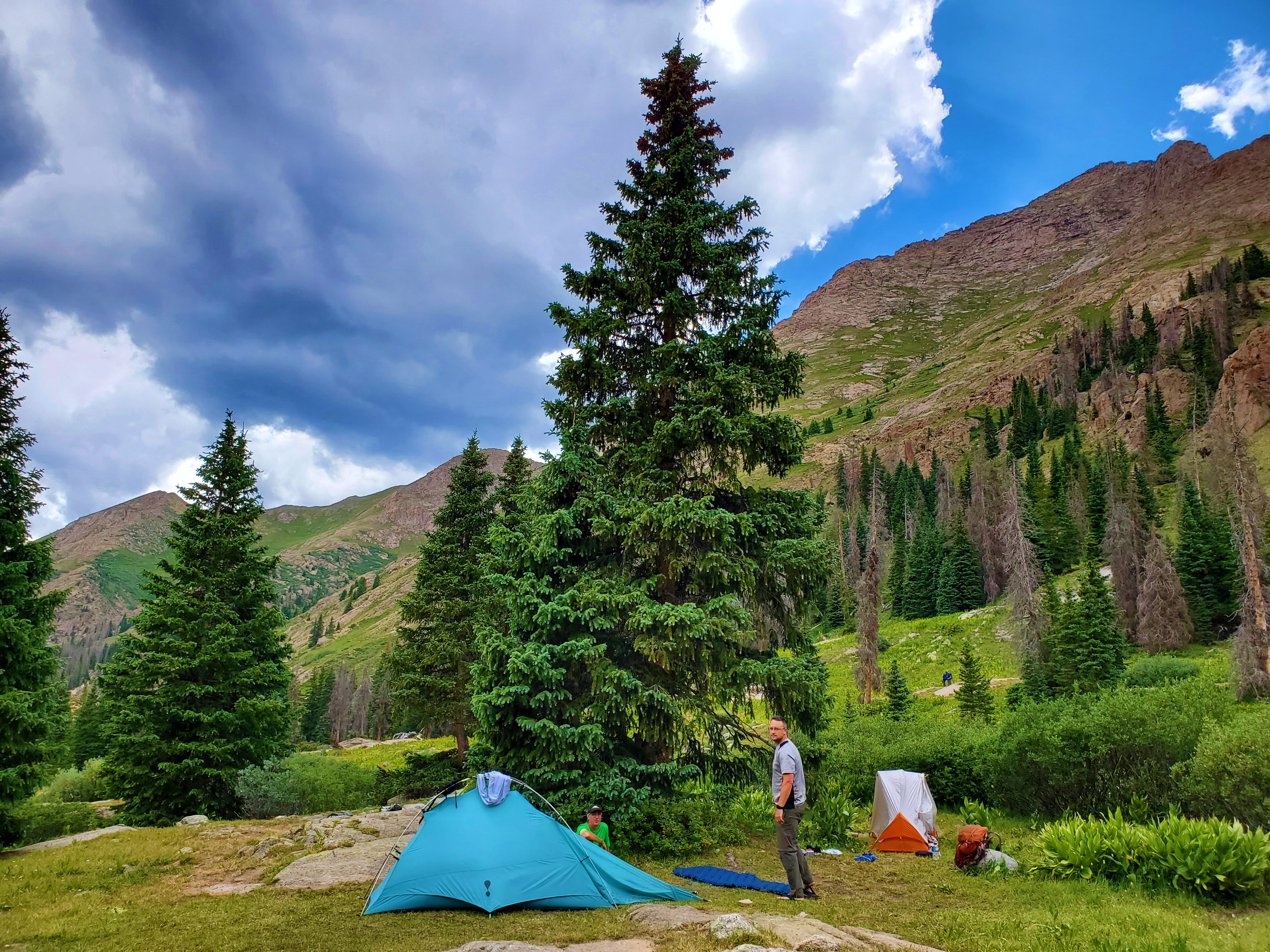
After about 17 miles, we were still only at 10,700 feet in the lower part of Chicago Basin, but I was done for the day. Besides, we had the perfect camping spot. Right next to us was an other-worldly waterfall cascading down over smooth white rock. It looked like a piece of artwork carved out of one 50-foot chunk of marble. I have some photos, but none of them do the place justice. As we set up camp and ate our Mountain House meals, the alpenglow hit the backdrop of peaks around us, and with the cooler evening air the bugs finally relented.
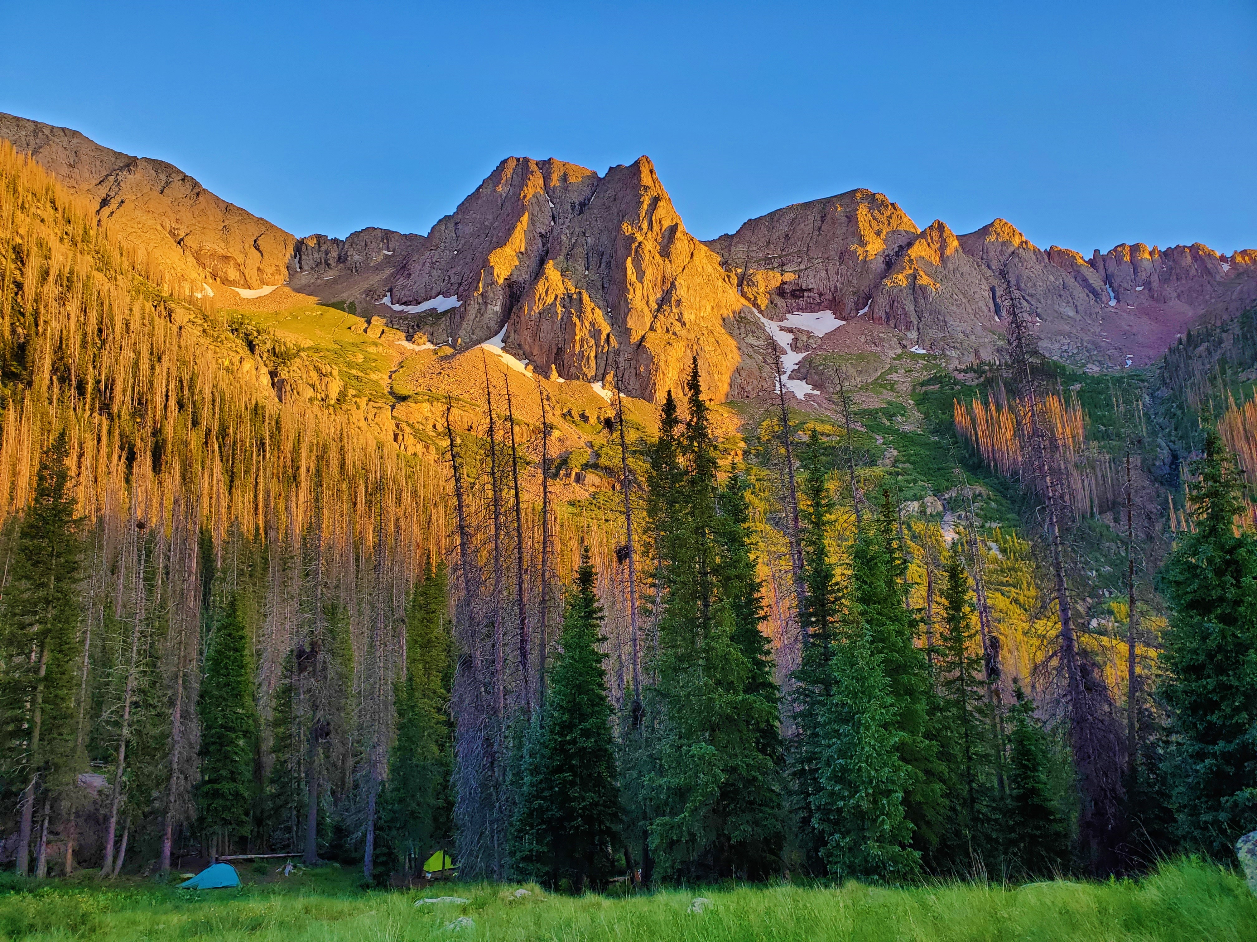
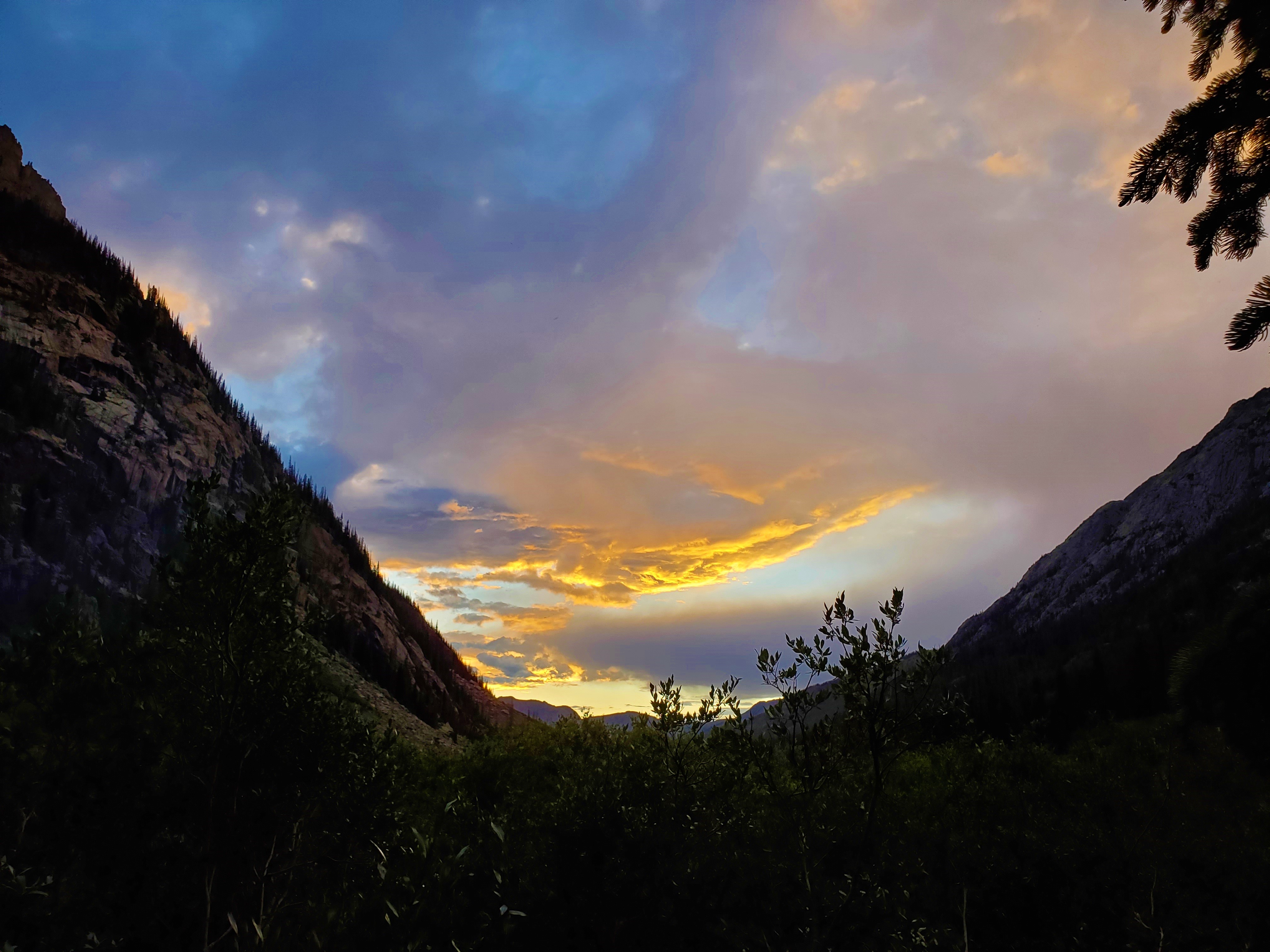
There were storms all around us today, but they never touched us.
Weminuche, Day 2: Jupiter Mountain – and Mountain Goats
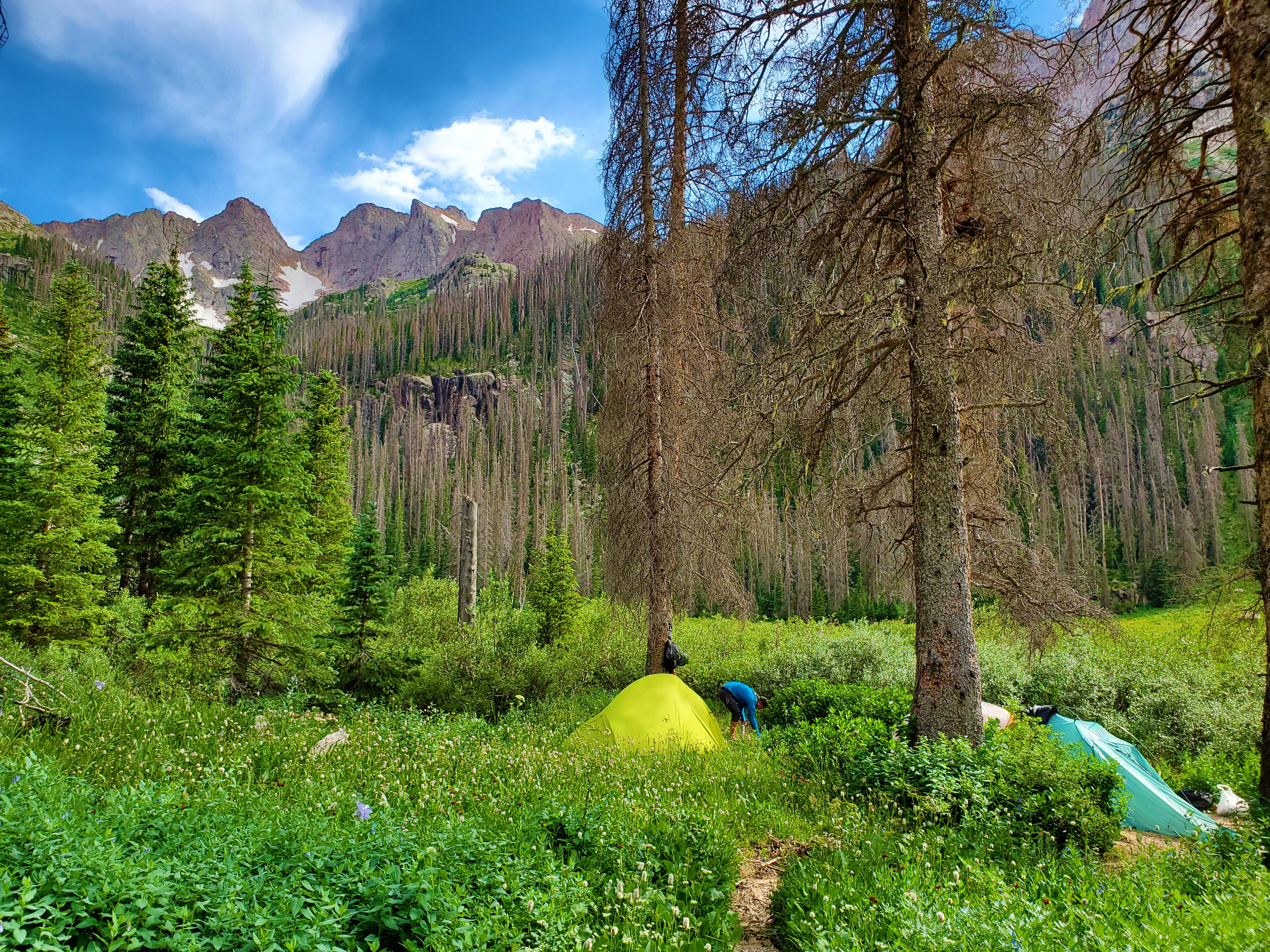
It was 25 degrees overnight, and still brisk this morning. Per our agreed plan from last night, we woke up early, packed up camp, and hoofed it the final mile and a half to the Columbine Pass Trail junction at 11,200 feet. Here, we set up our high camp in a grassy patch between willows.
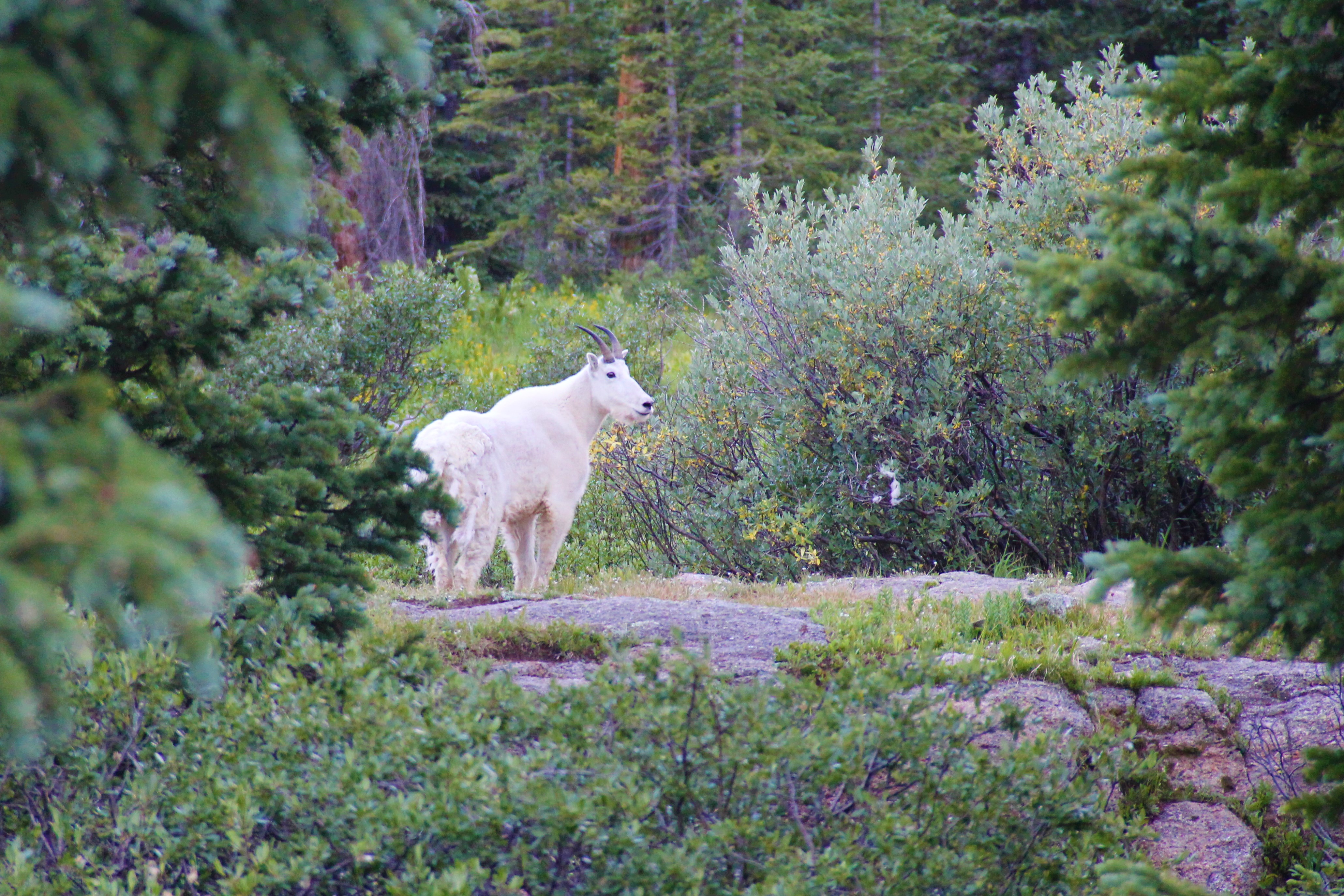
As it was nearing time to start walking, we heard a dog barking not far from us. Suddenly, a mountain goat came running out of nowhere, nearly running into me! It stopped about five feet from me, stared for a moment, then sailed on by.
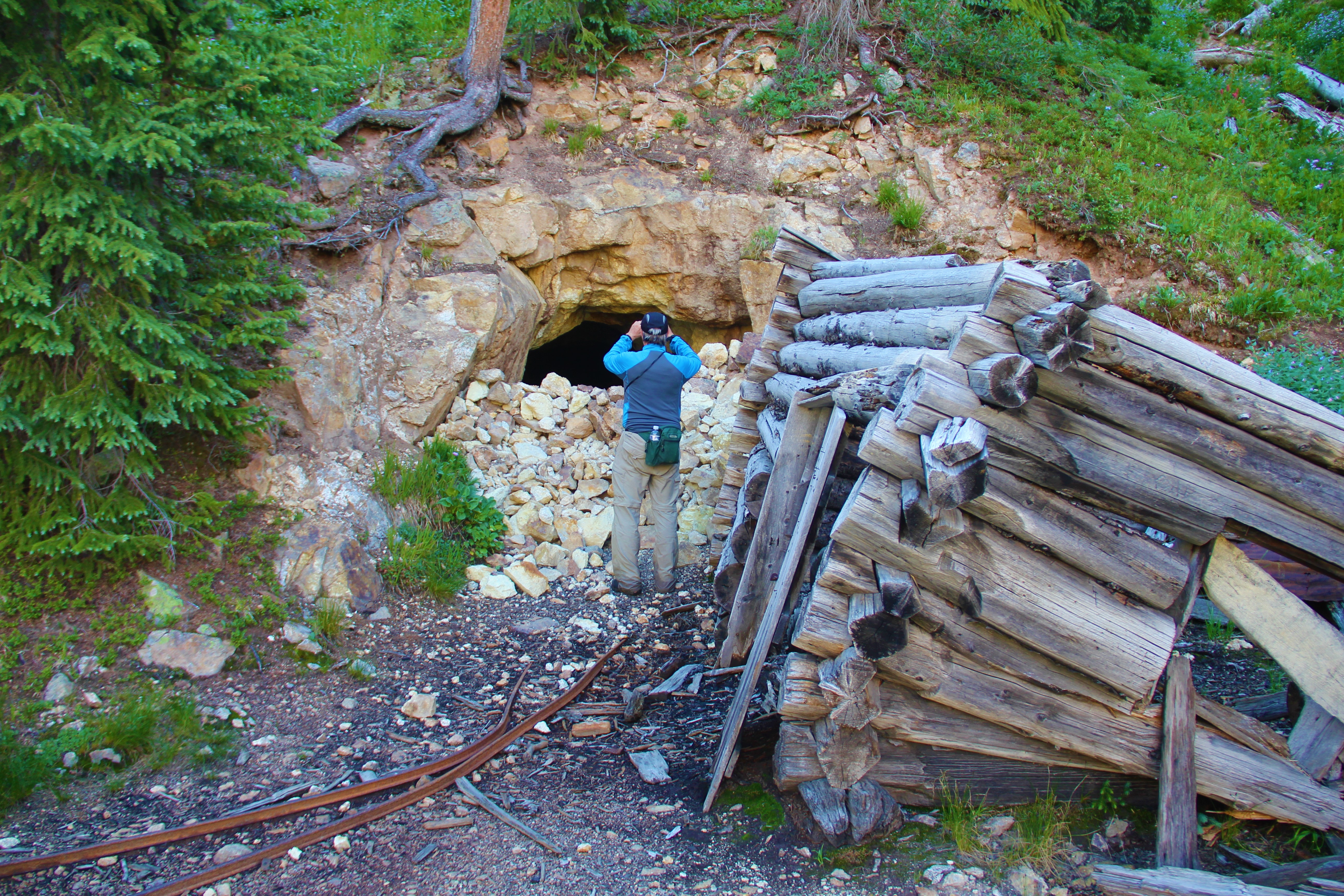
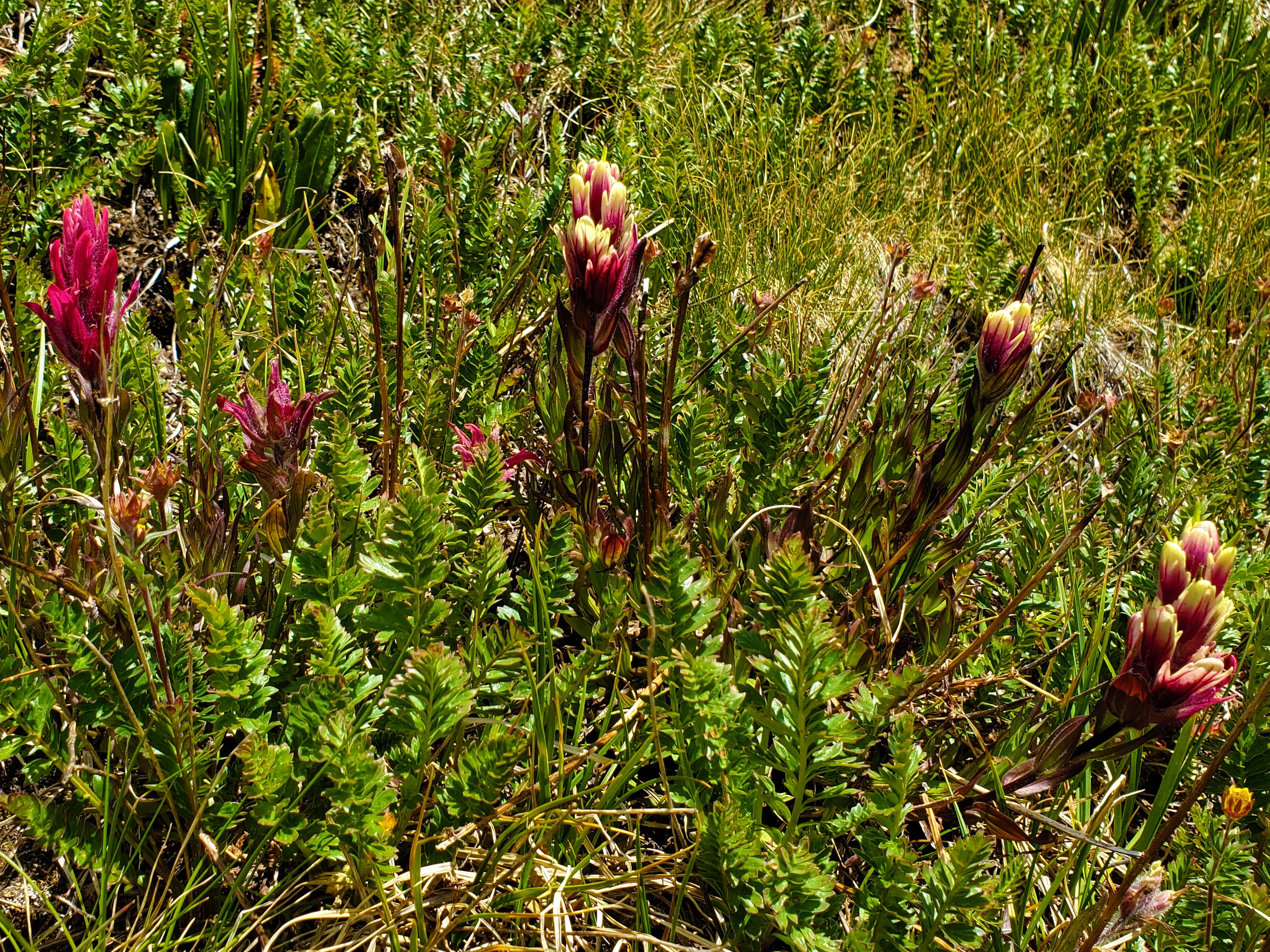
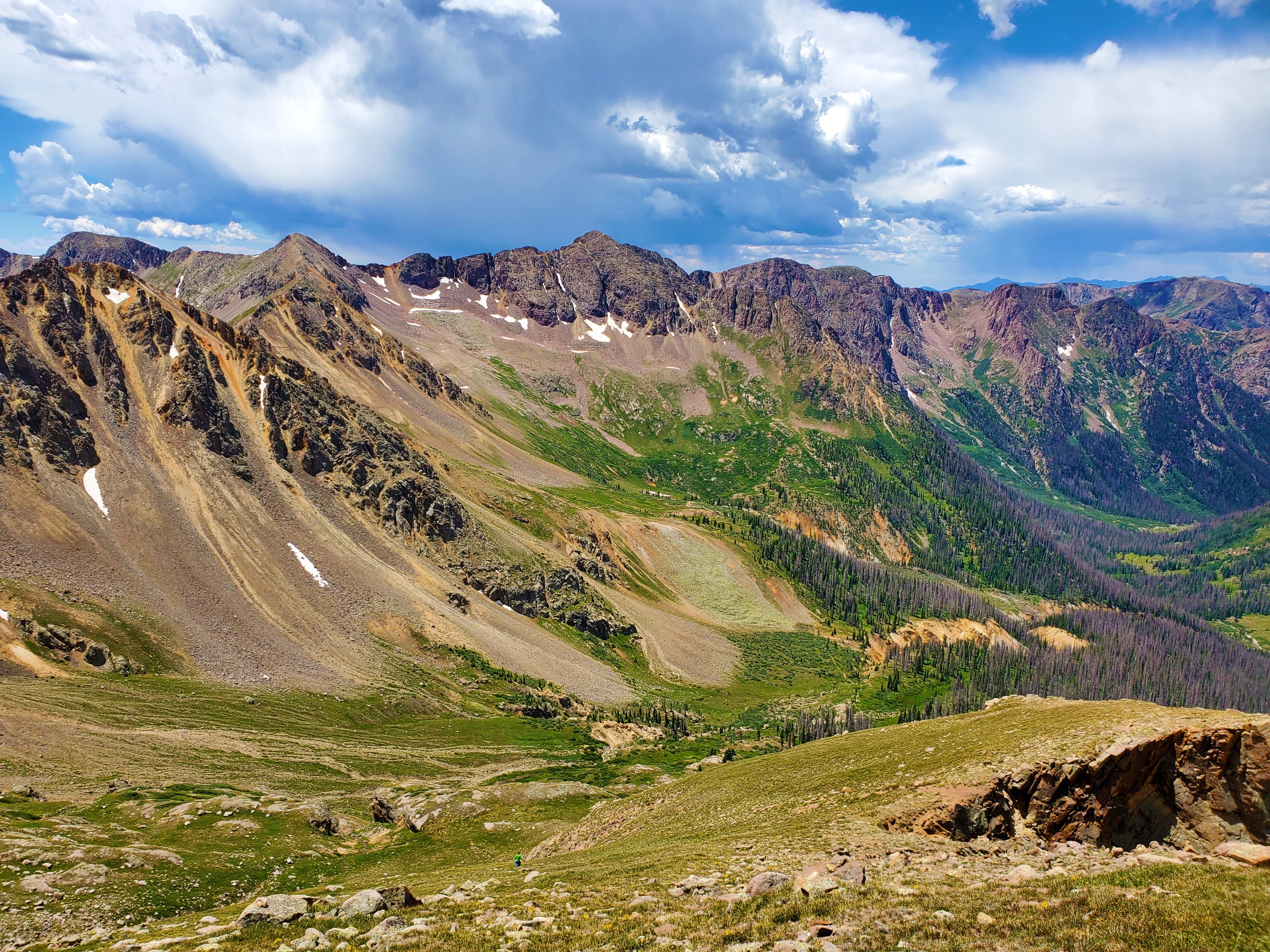
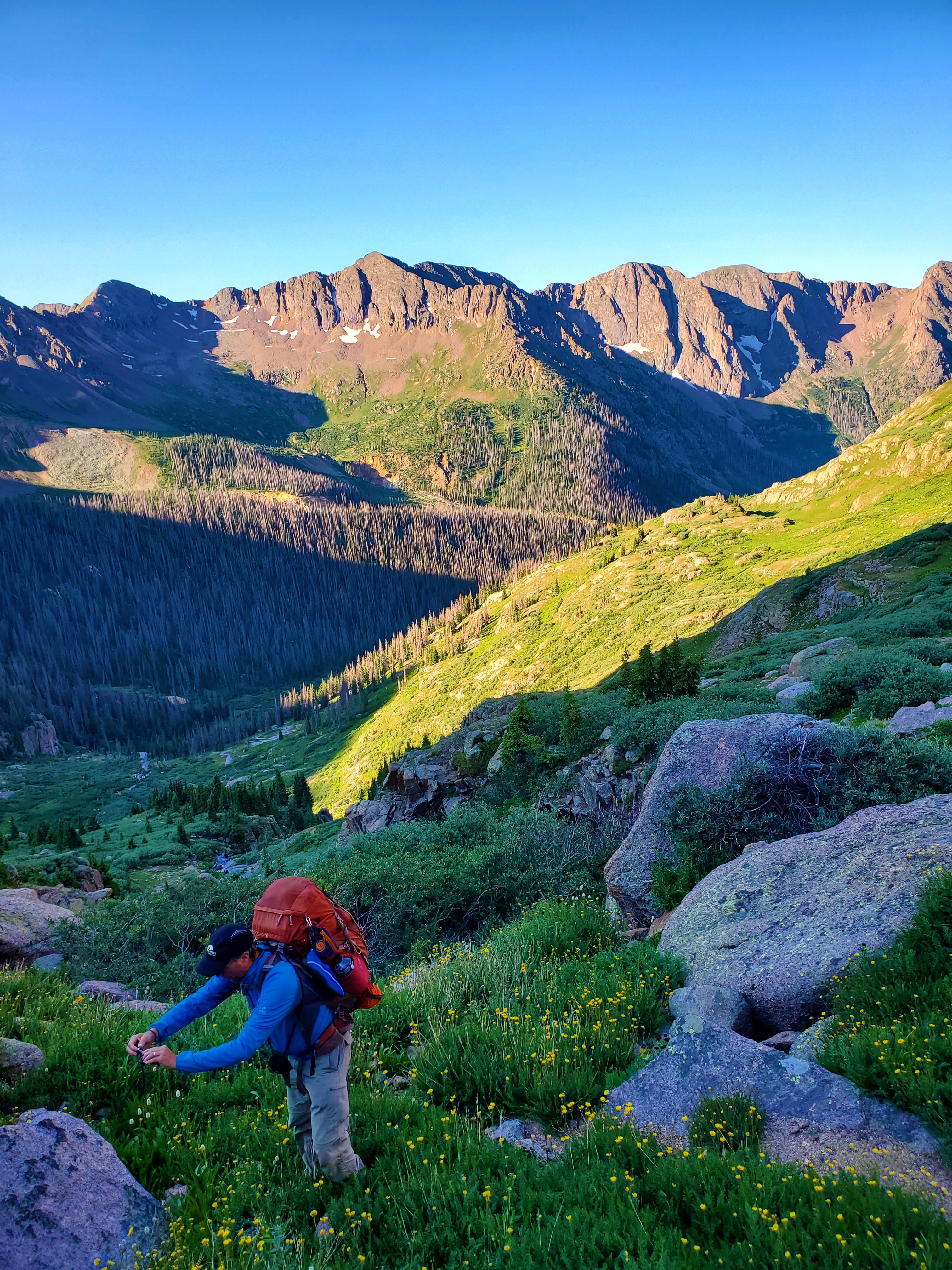
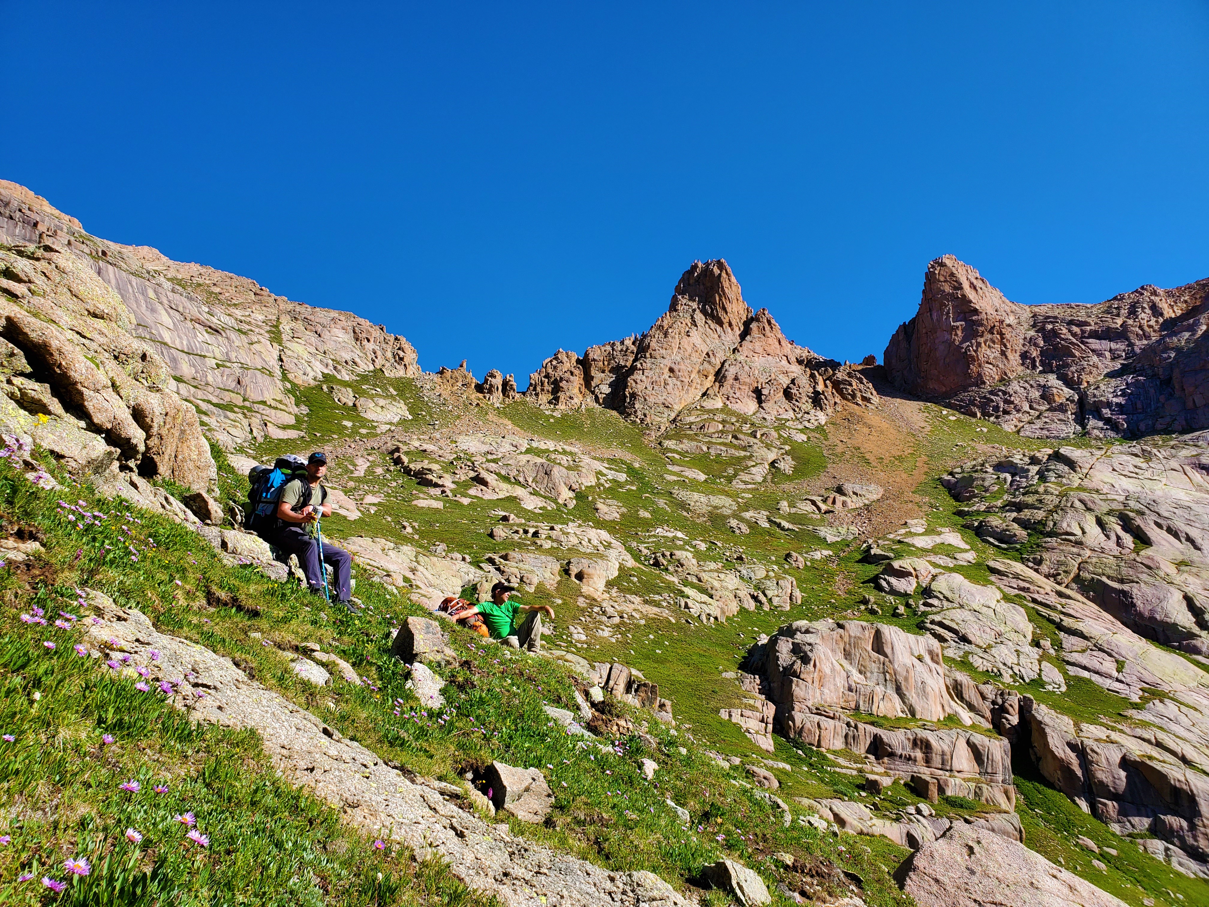
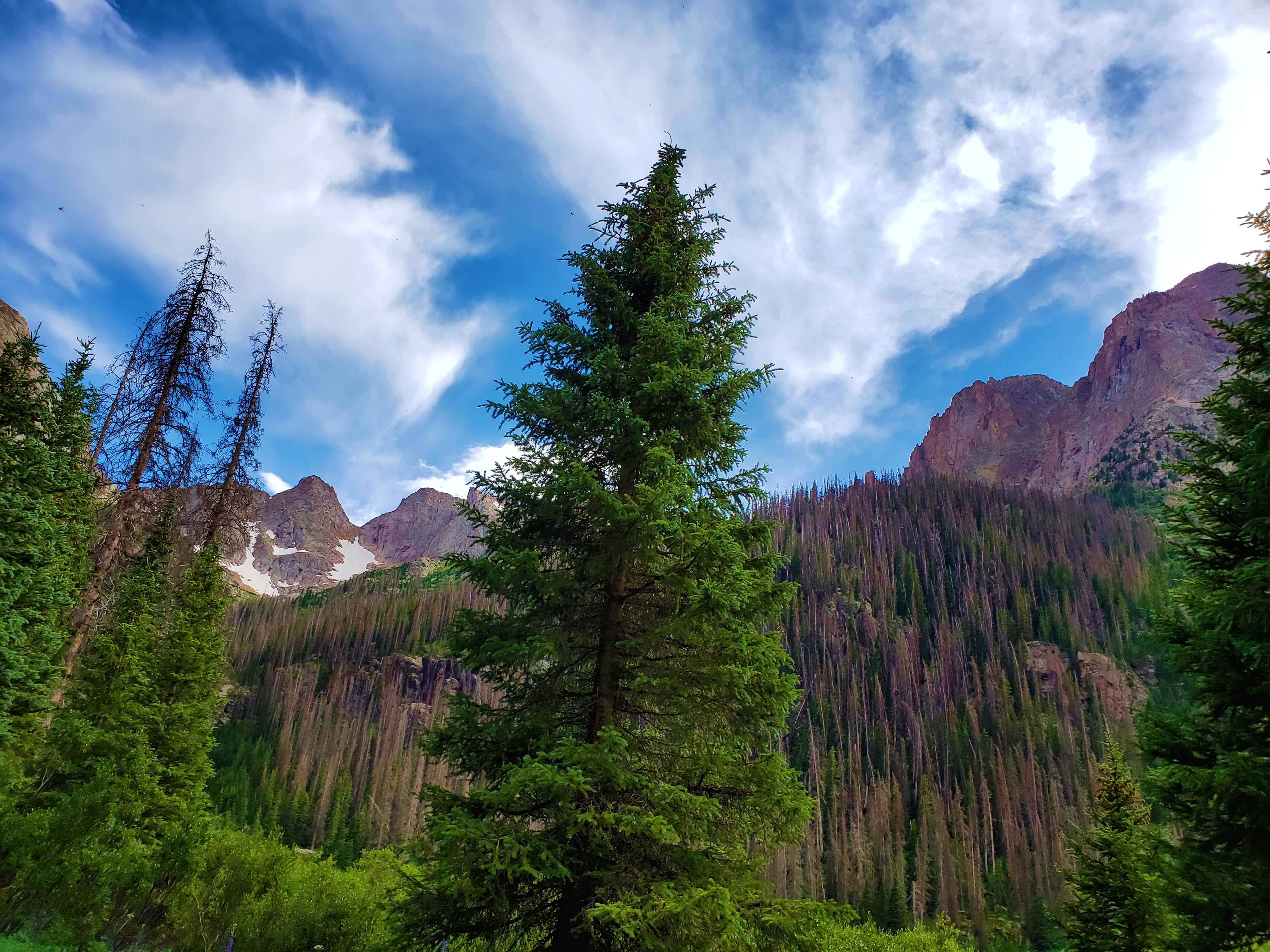
Now, at last… to the mountains! I’d been looking forward to summitting Jupiter Mountain since I was first in Chicago Basin ten years earlier. The Columbine Pass Trail had a few highlights of its own, such as wildflowers and old mining ruins.
But it was the mountain itself I most enjoyed. I always love how the perspective changes as I get higher and higher above timberline. That happened quickly here; after leaving the trail at the rivulet, we climbed steeply up the grass slopes, before cliffing out at the ridge shoulder at 13,000 feet.

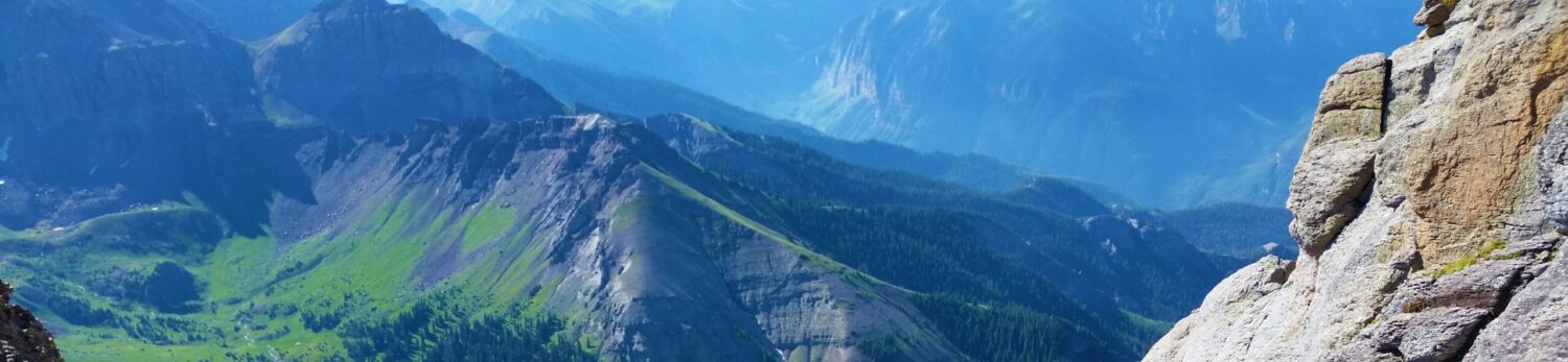
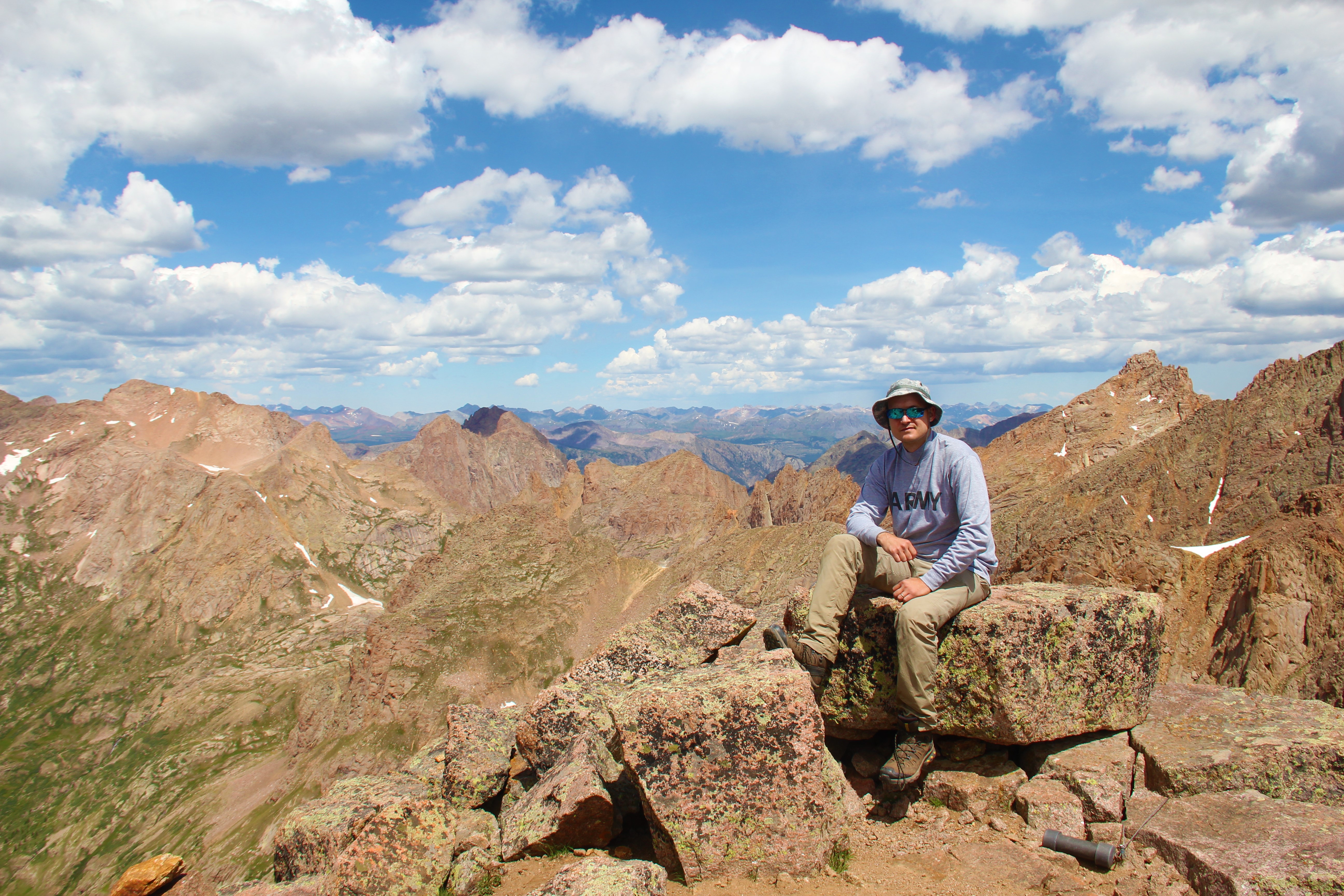
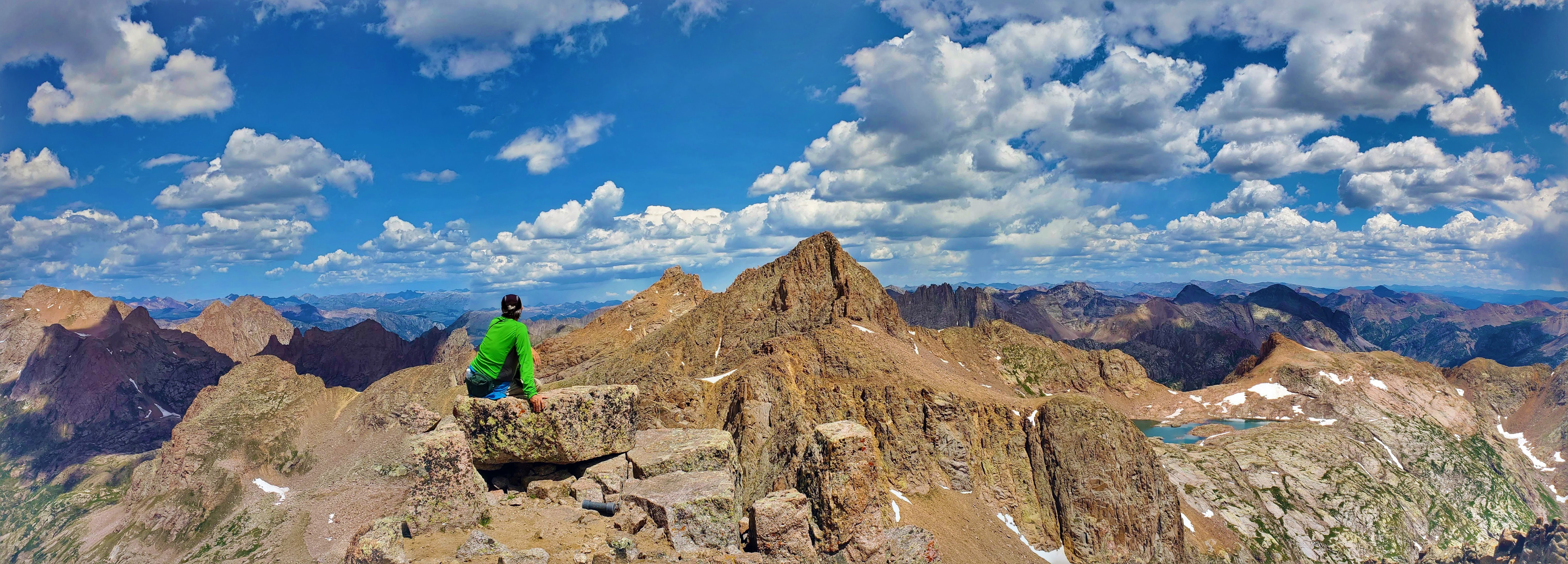
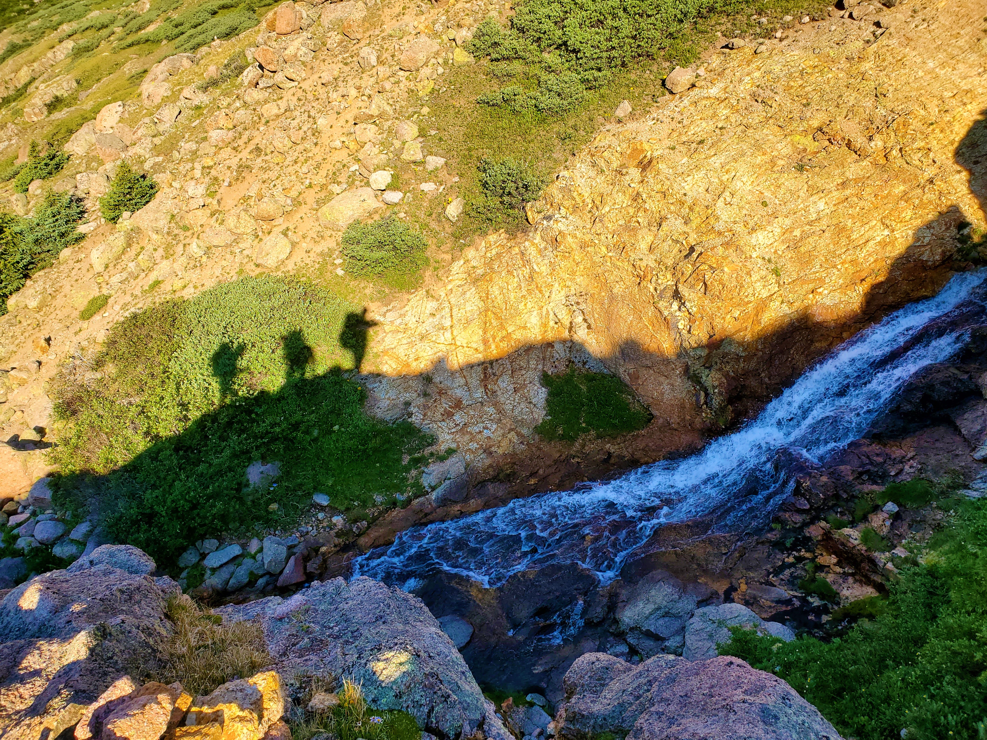
It was another short slog to the false summit, then a scramble over to the true high point. The view was grand: in-your-face looks at the surrounding fourteeners, lakes, and over to Jagged Mountain.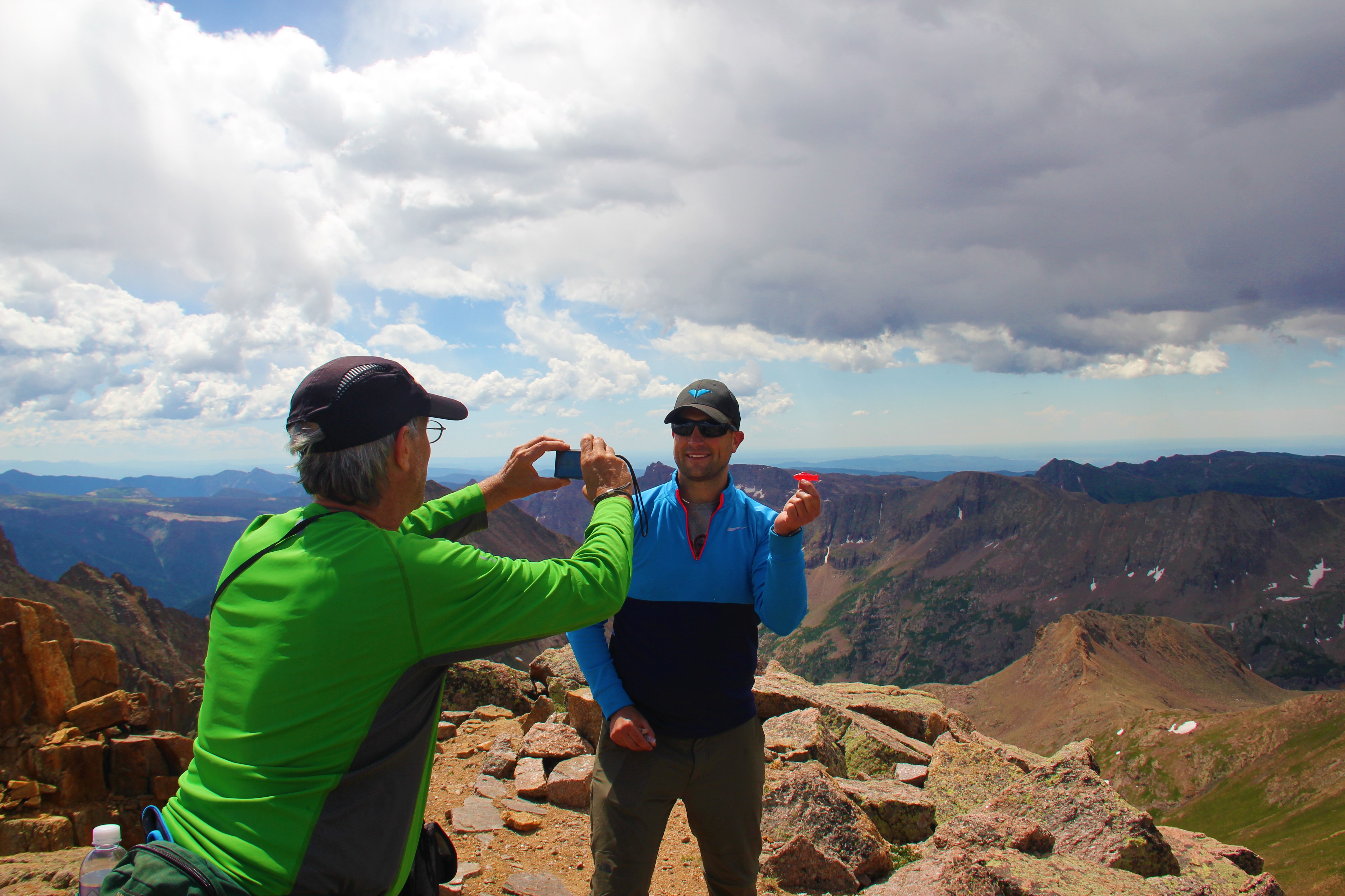
 I also got a picture of three people atop Sunlight Spire, two on the summit and one rappelling!
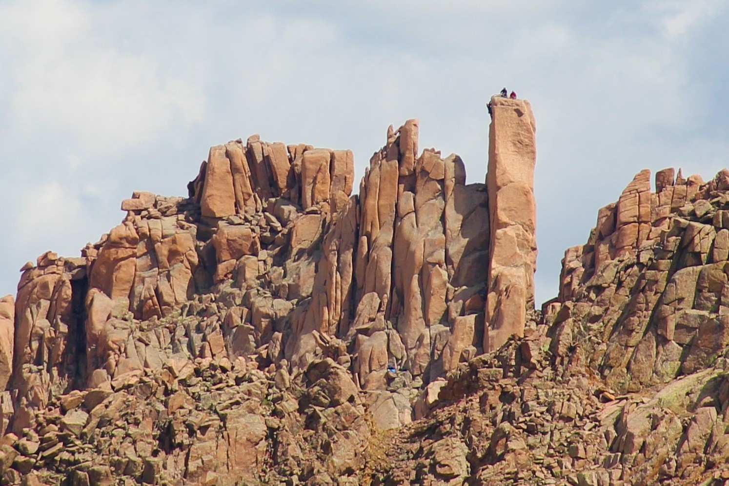
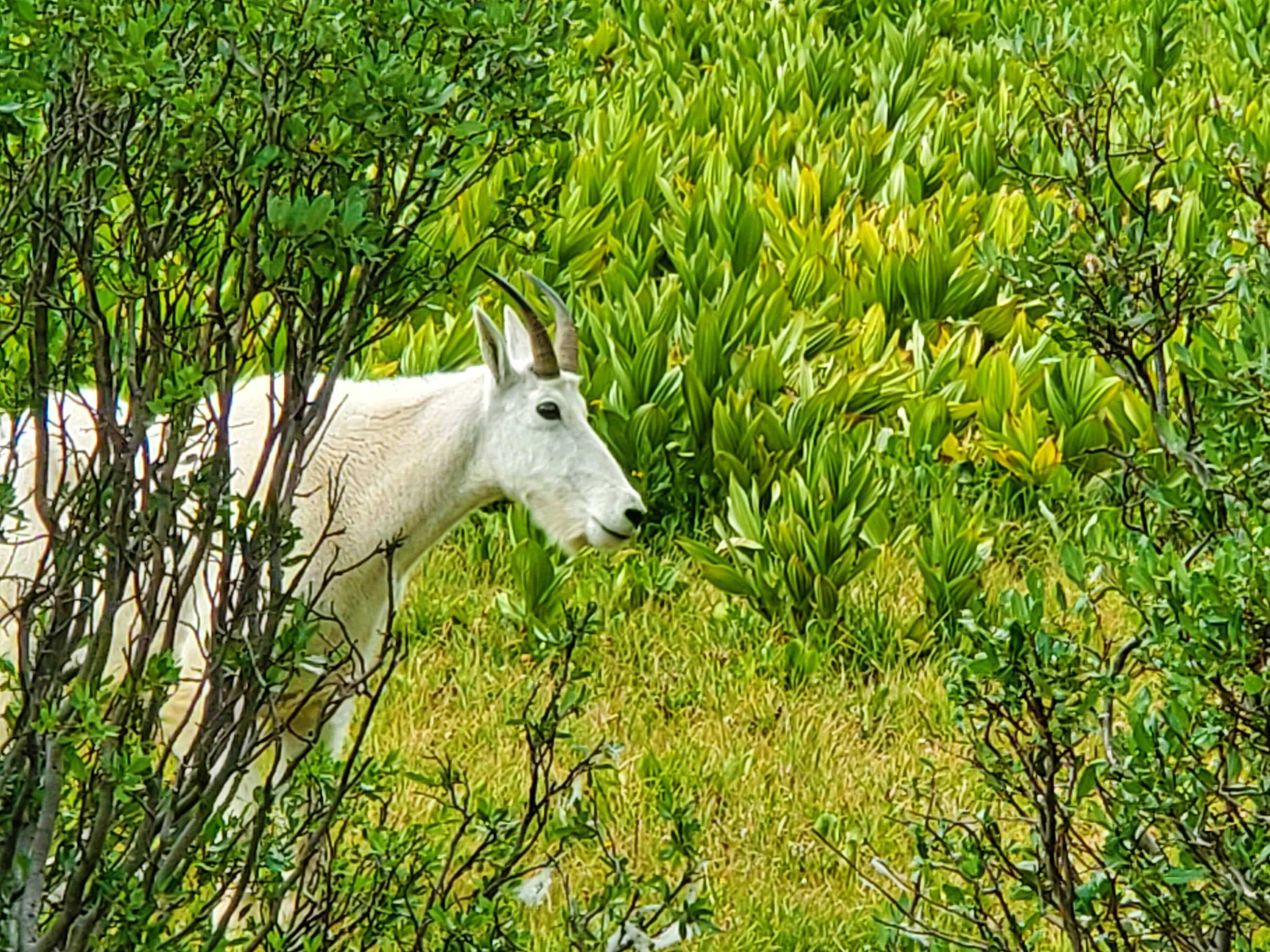
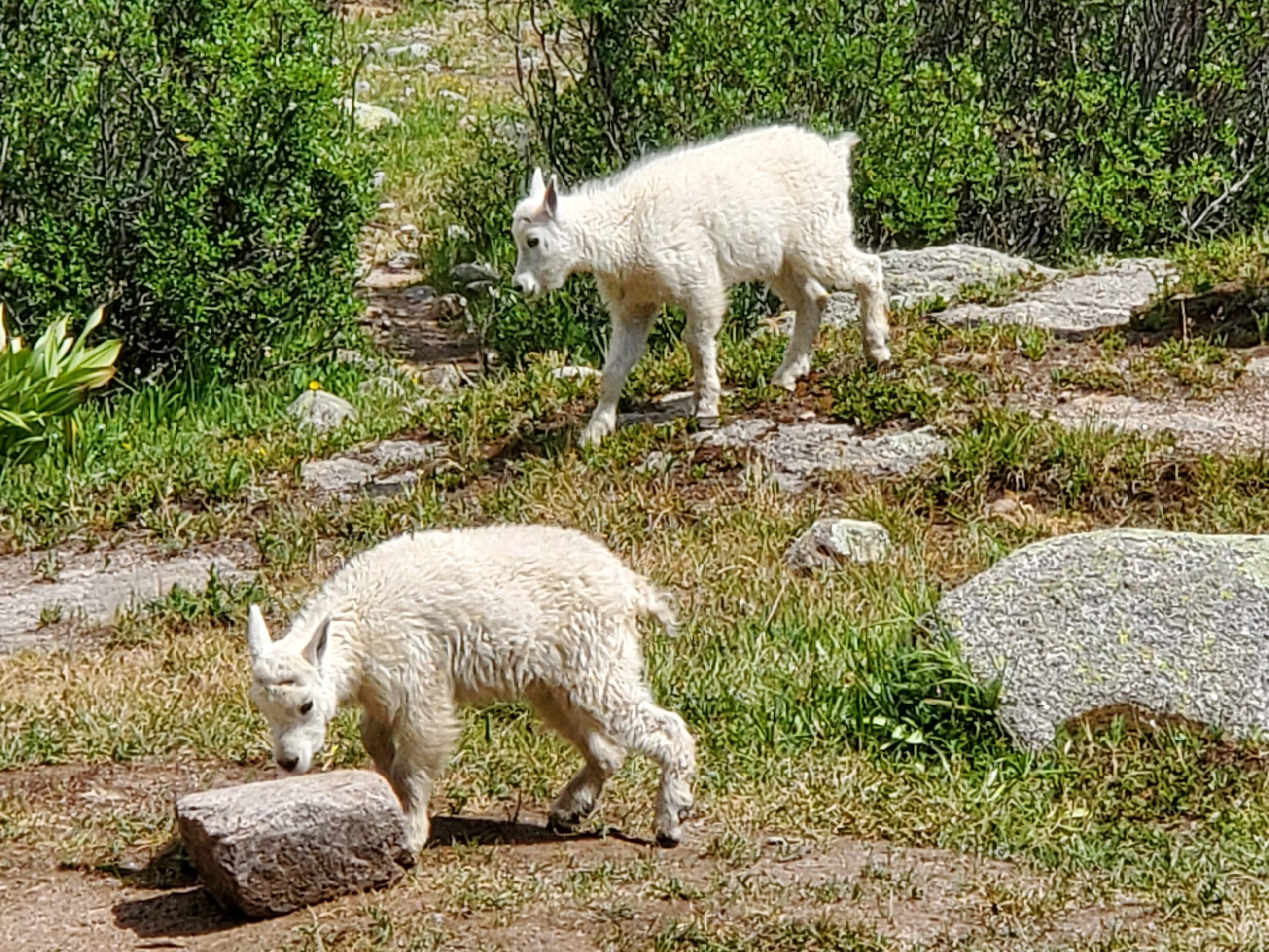
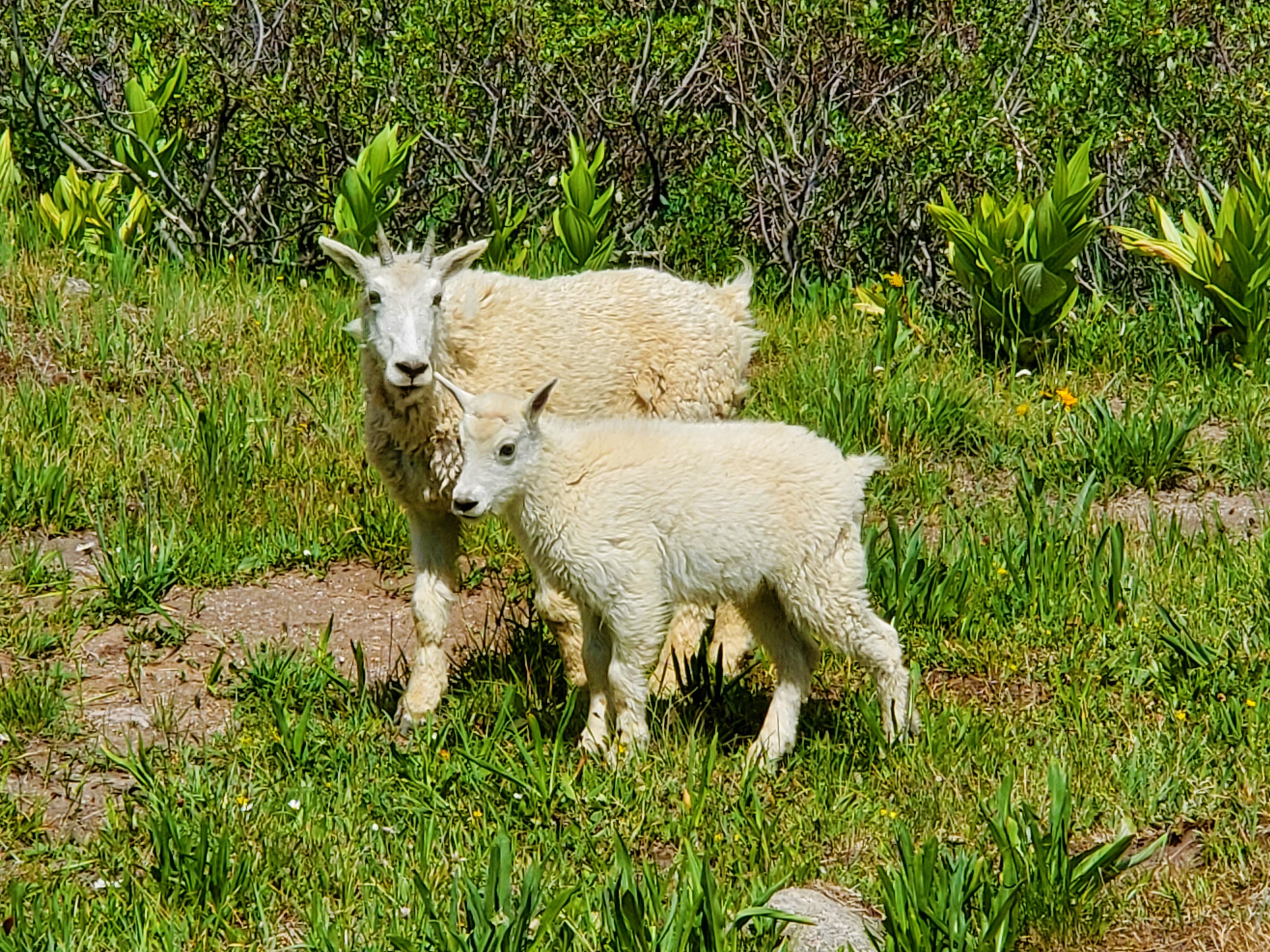
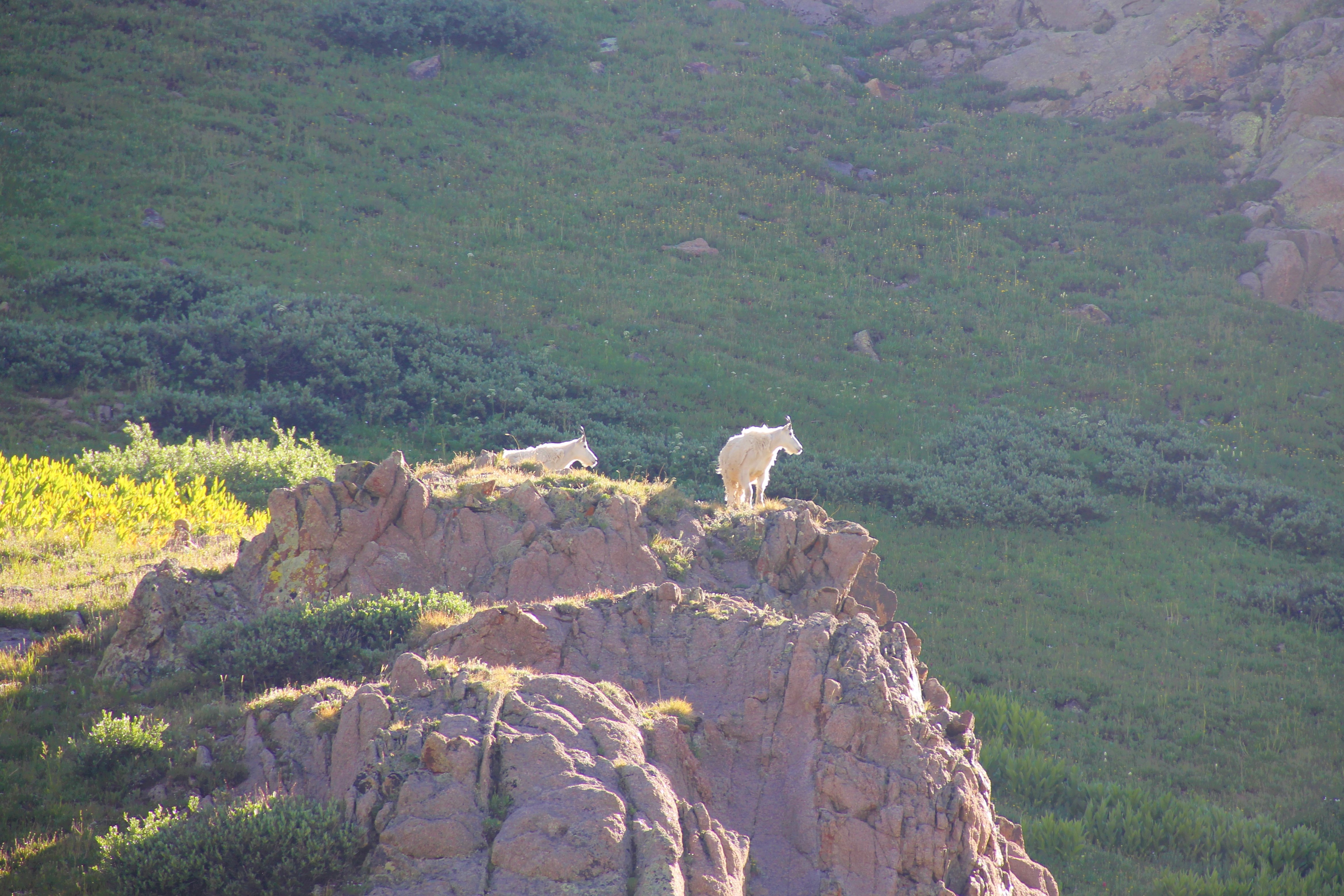
They actually became pests to the point that Brian chased them away with his ice axe while hissing at them. They stayed away for a while after that, but as evening set in, goats and deer started moving through again. They were hesitant to spend much time with us now, though.
As darkness set in, we could see the goats working their way up onto the cliff ledges opposite camp.
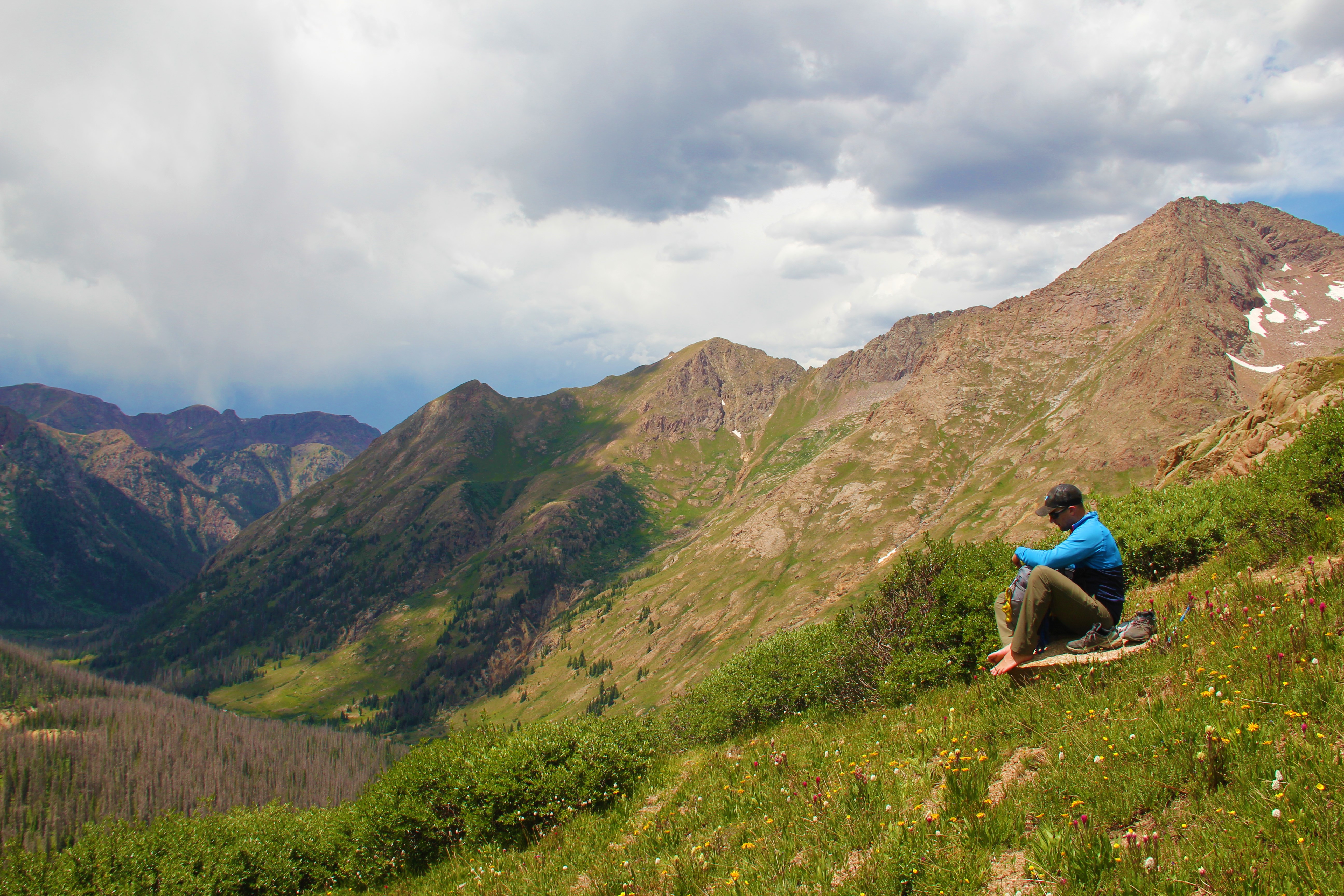
Once again, there were storms all around us throughout the afternoon, but just sprinkles in camp. When we weren’t busy chasing off goats, we enjoyed the time to just relax and talk in such a perfect setting.
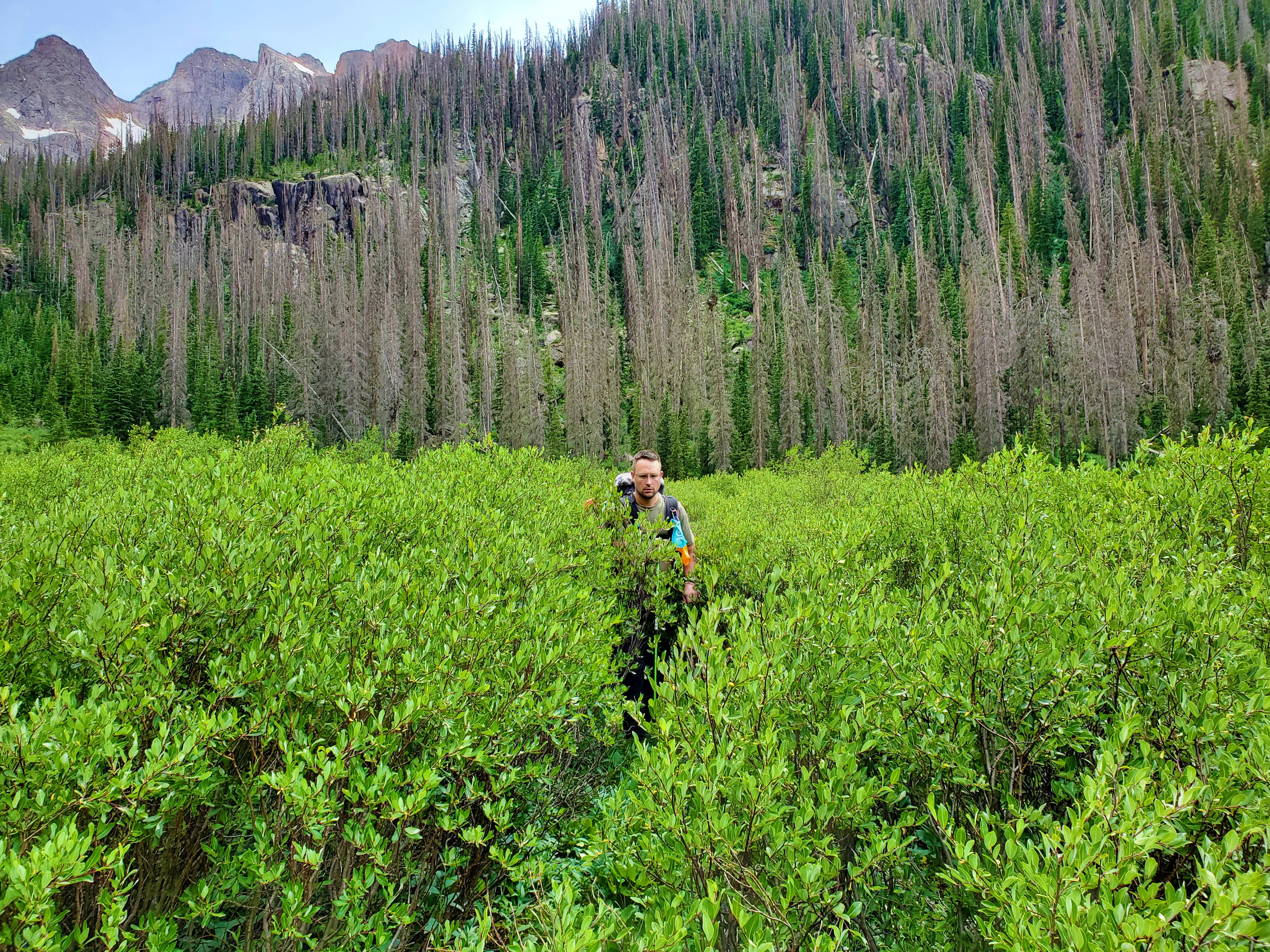
Weminuche, Day 3: Chicago Basin, Twin Thumbs Pass, No Name Basin
We started out from camp at 6:45, with the sole objective of moving our home from Chicago Basin to Noname Basin.
We carried everything on our backs, trudging up the stair-master trail all the way to Twin Lakes.
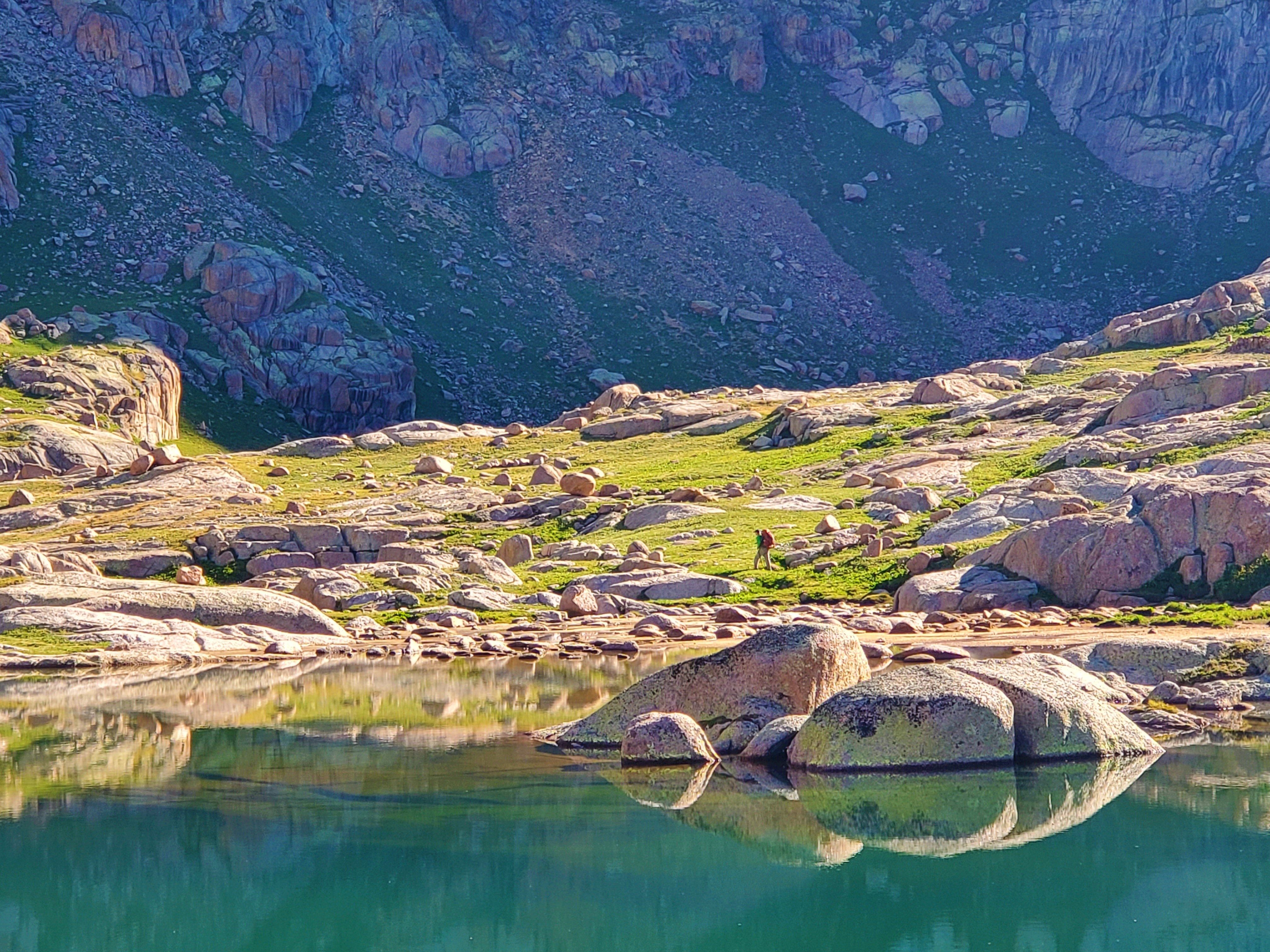
The early morning scenery was fantastic the whole way, and Greg was in paradise when we finally arrived at the lakes. There were steep cliffs behind the lakes, and reflections in the still morning water made for a worthwhile photo shoot.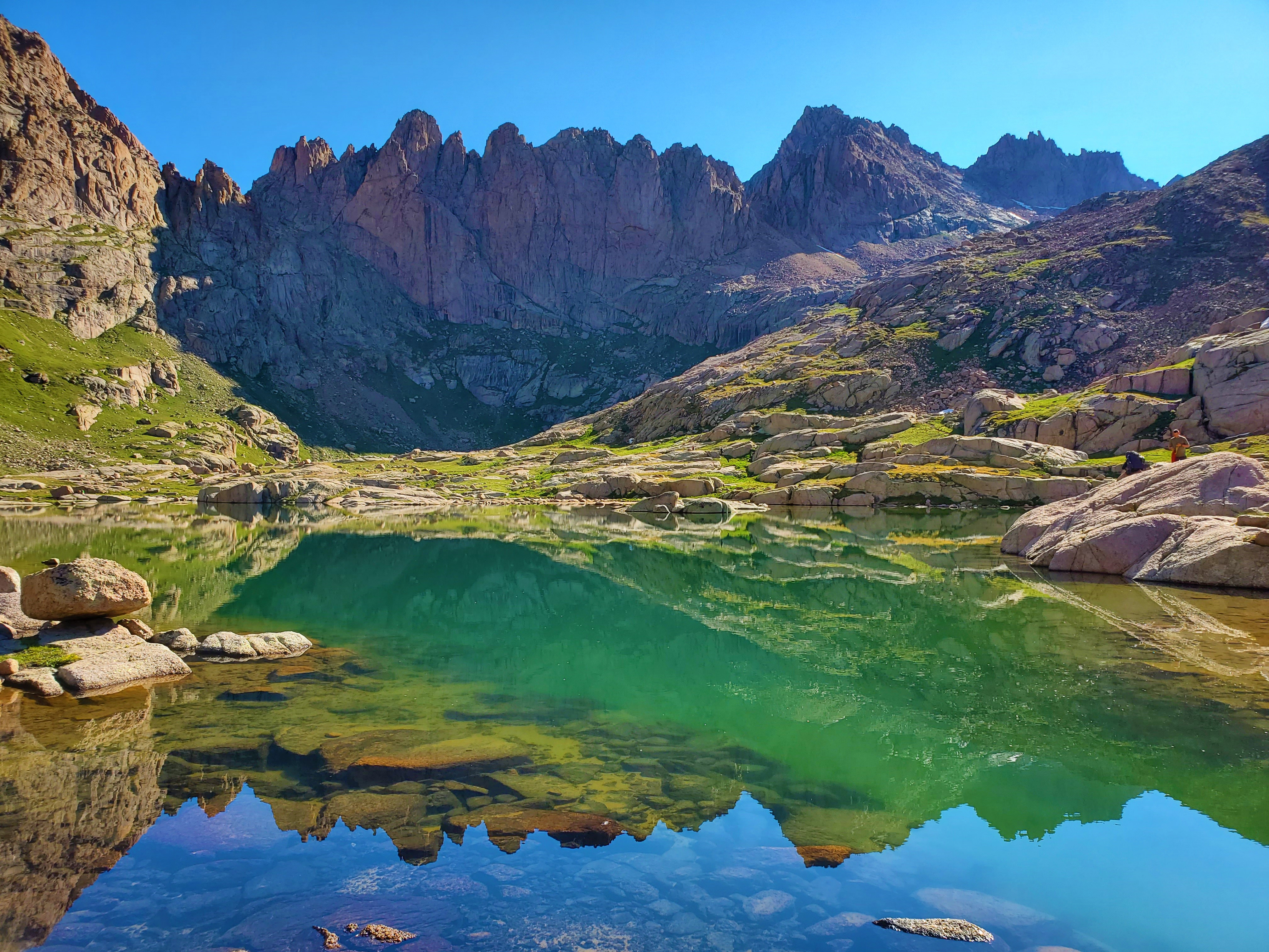
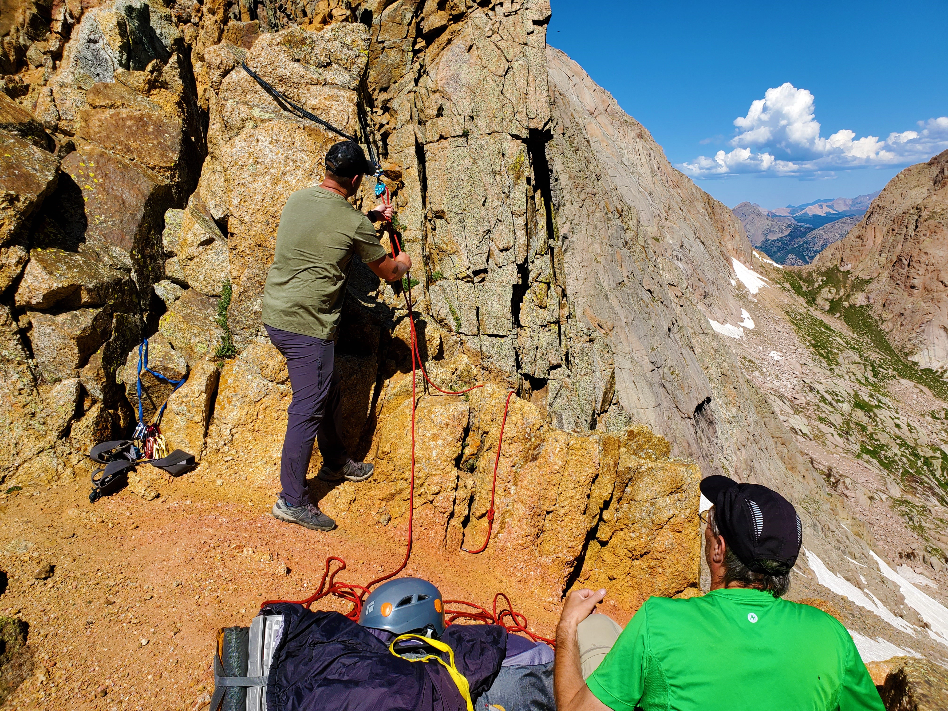
I had brushed against a corner of rock, and all at once it felt like the whole mountain fell apart next to me. A large chunk the size of a microwave went sailing, a lot of stones and minor debris along with it.
“ROCK! ROCK!”
The piece of mountain fell 20 feet straight down, exploding into two halves on impact. To my horror, one of the pieces bounced straight at Greg, seemingly taking out his legs as he could not get out of the way fast enough.
In a moment, it was over. Greg was shaken, but standing, and assured us right away that nothing was broken. But there was a good bit of blood coming through his pants at the knee.
I hurried over to him and we both worked our way over to a somewhat safer ledge, and Brian rappelled down to meet us. Amazingly, the damage was little. Greg had apparently been able to jump just high enough to only have one knee grazed by the rock. There was a good cut, but it didn’t require stitches, and thankfully he was able to walk on it, though of course it would be sore. Brian helped him wrap it up, then we gathered ourselves and all our gear, and I began to route-find downhill.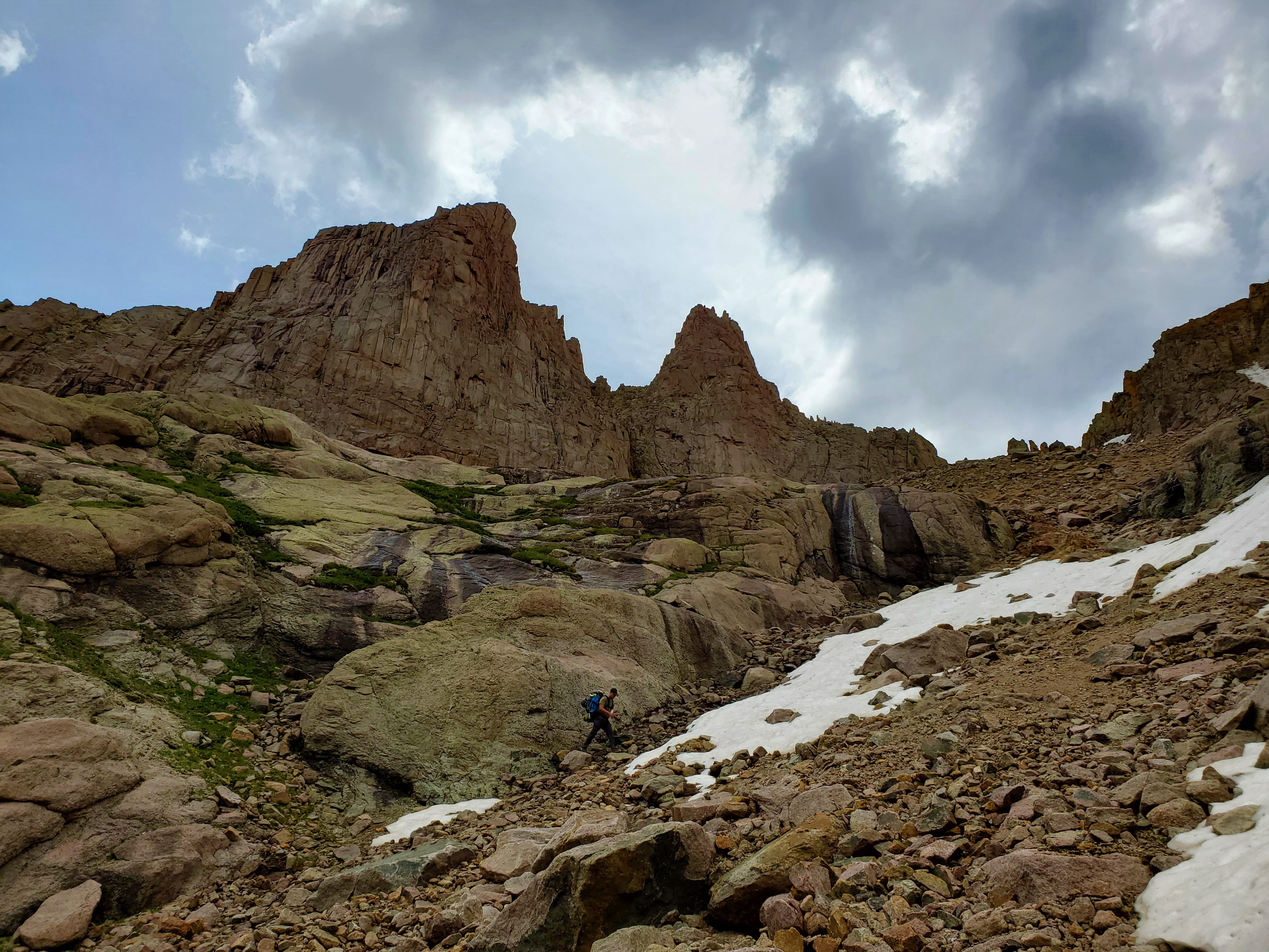
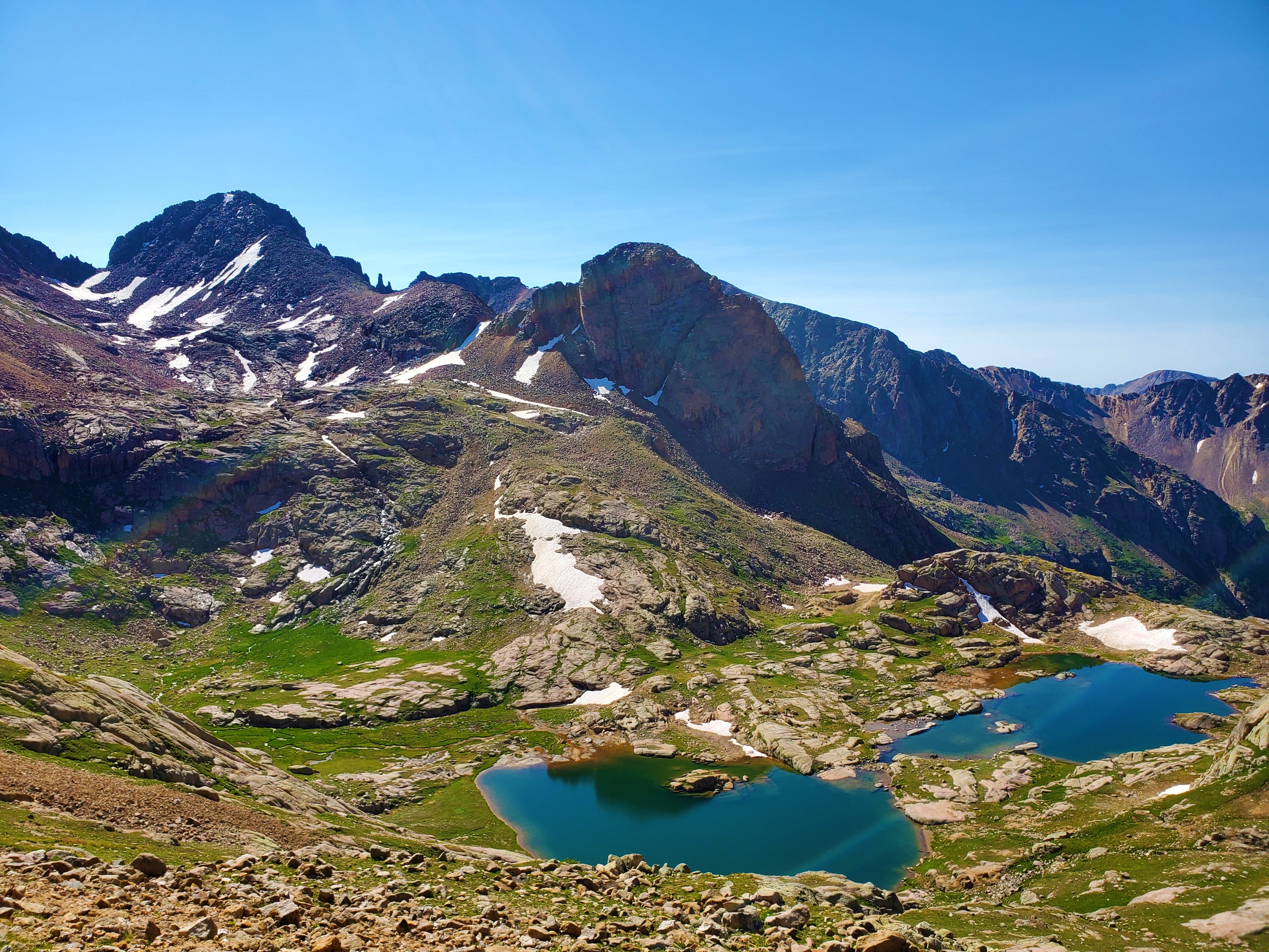
We could see the unnamed lake below, at 11,750 feet, but it would take us a long time to get there.
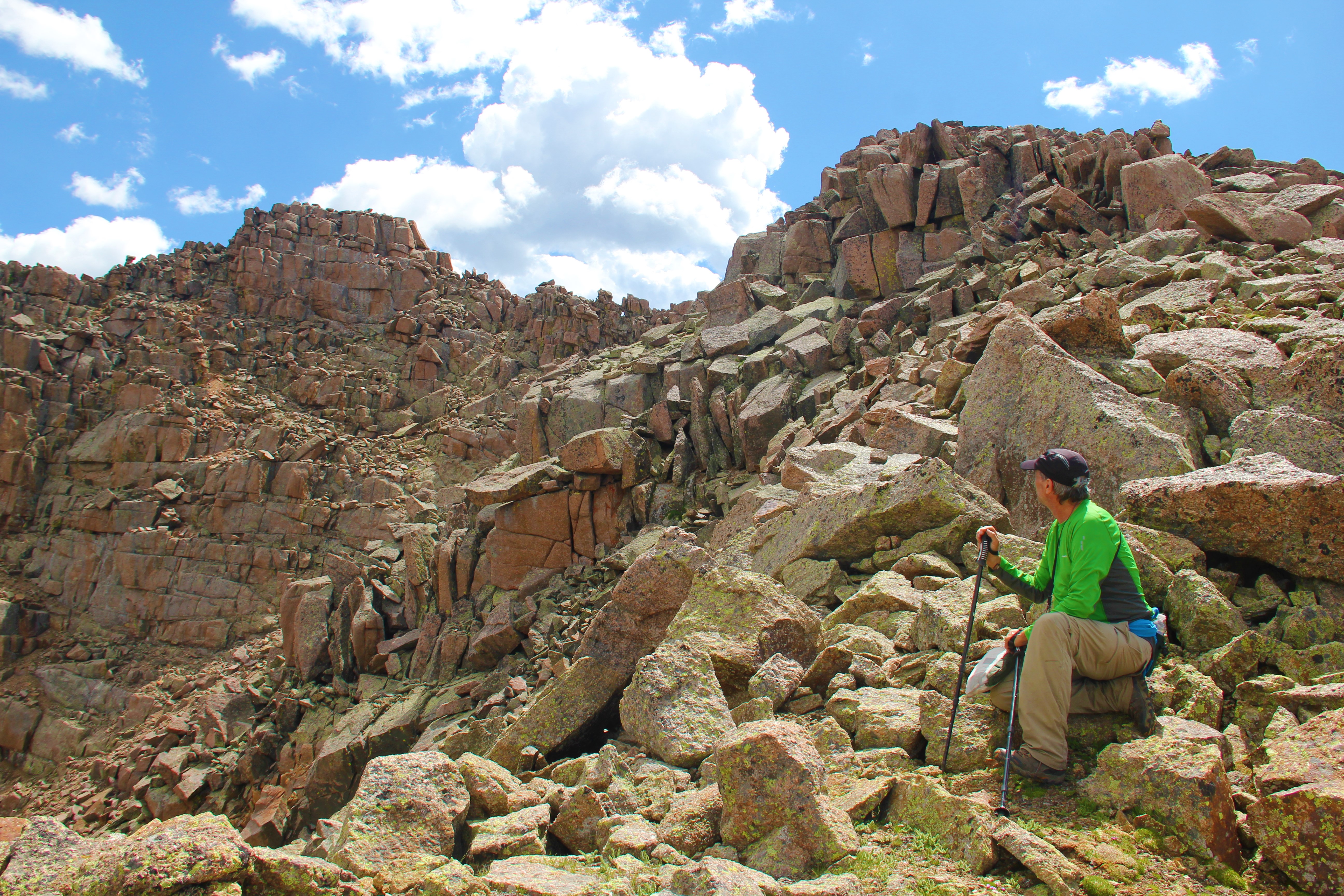
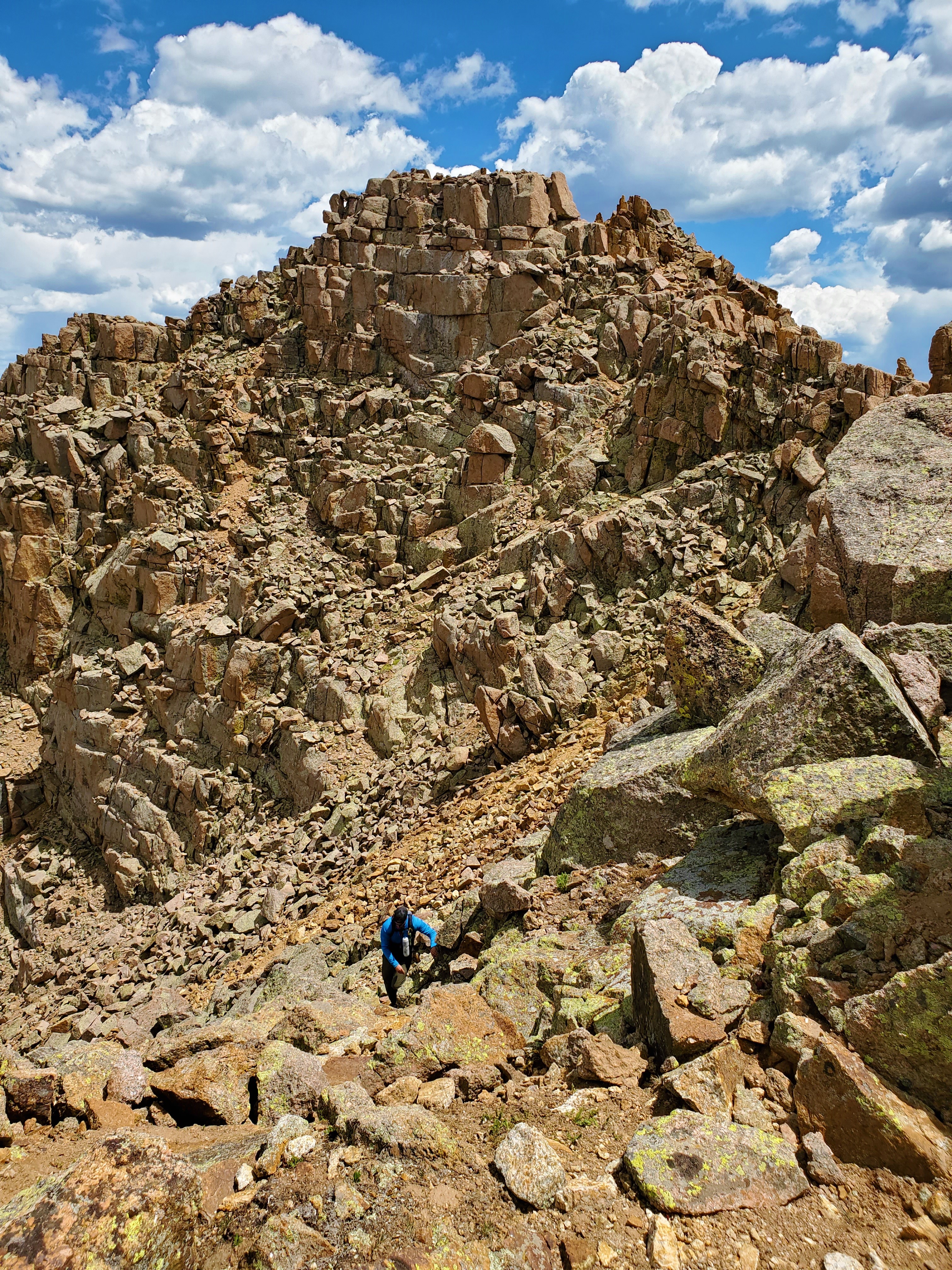
Brian nearly broke leg at one point, as a slab went out from under him. His leg, then body with heavy pack, went forward awkwardly. He, too ended up with just a cut. Then, while route-finding amongst the giant boulders on the shoulder above the lake, I jammed my toe into a rock and tripped myself, nearly snapping both my legs in the process. I swung my upper body around and slammed my wrist into another rock to keep from falling any farther, and ended up with both shins and wrist bloodied and ugly. This gully was having its way with all of us.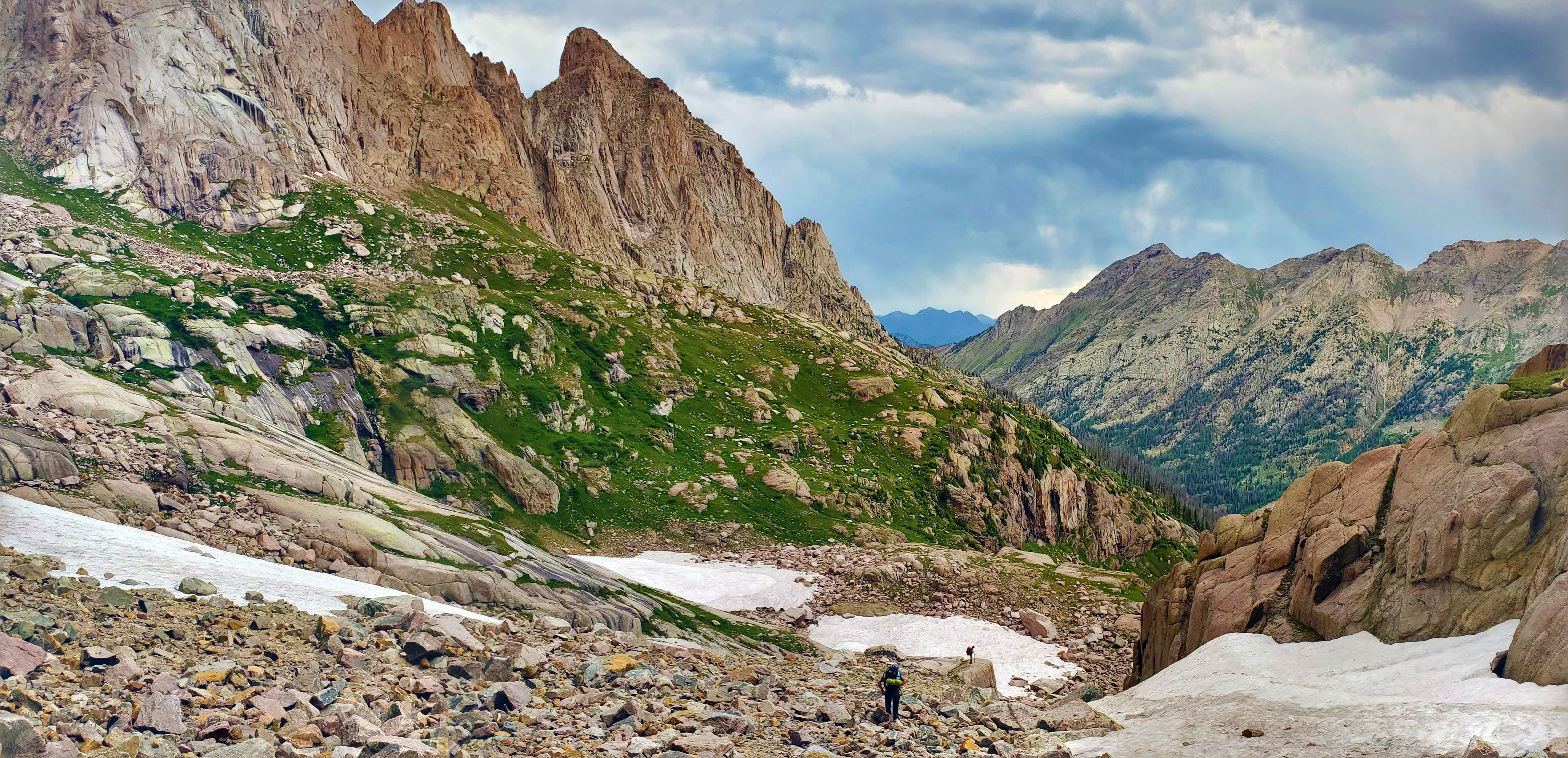 Meanwhile, it was hailing on us. We took a break to once again gather ourselves, and Brian once again broke out the first aid kit to mend the wounded. Then, as the hail abated, I led us around the right side of the cliffs to a trail I had seen from the other side.
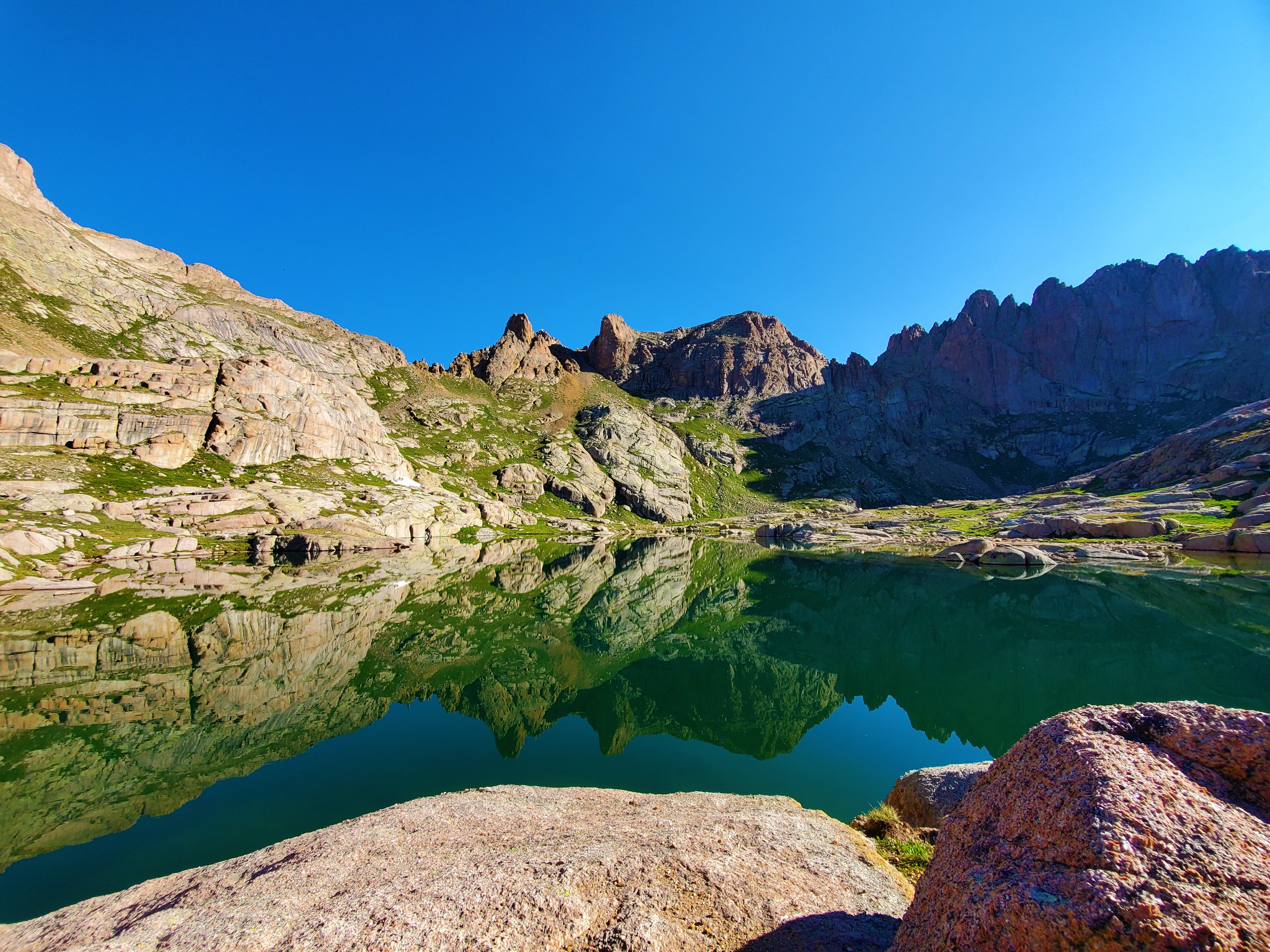
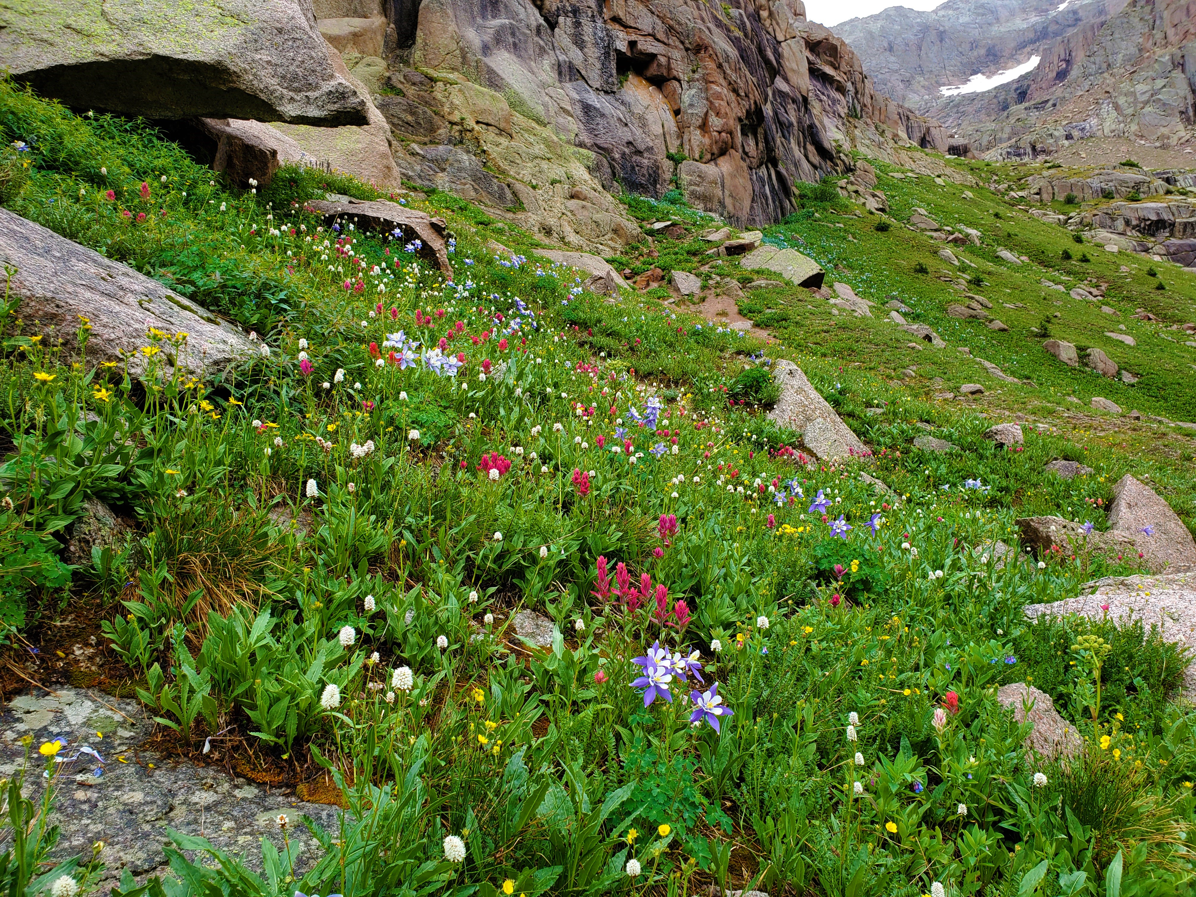
The “trail” turned out to be a goat path, one of many we would follow today. It contoured along the steep flower-laden slopes, slick from the fresh hail-fall. I still don’t understand how those clunky looking globs of animals can skirt this terrain so gracefully; we could not.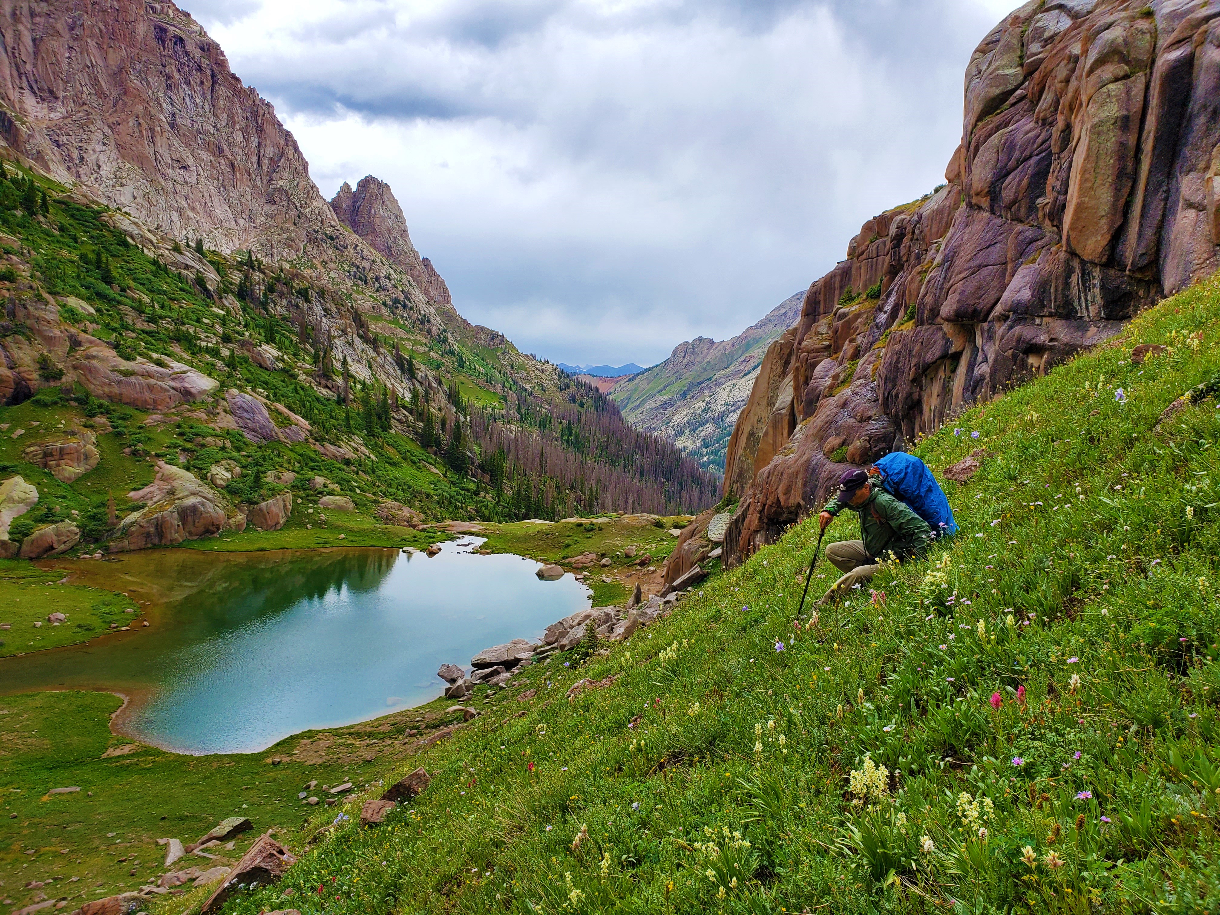 I know we were tired and in pain and ready to have the day over with, but I really liked this lake. It has no name and I’m sure sees very few human visitors, as there is no easy way to get to it. There were waterfalls above and below it, and boulders and wildflowers galore around it.
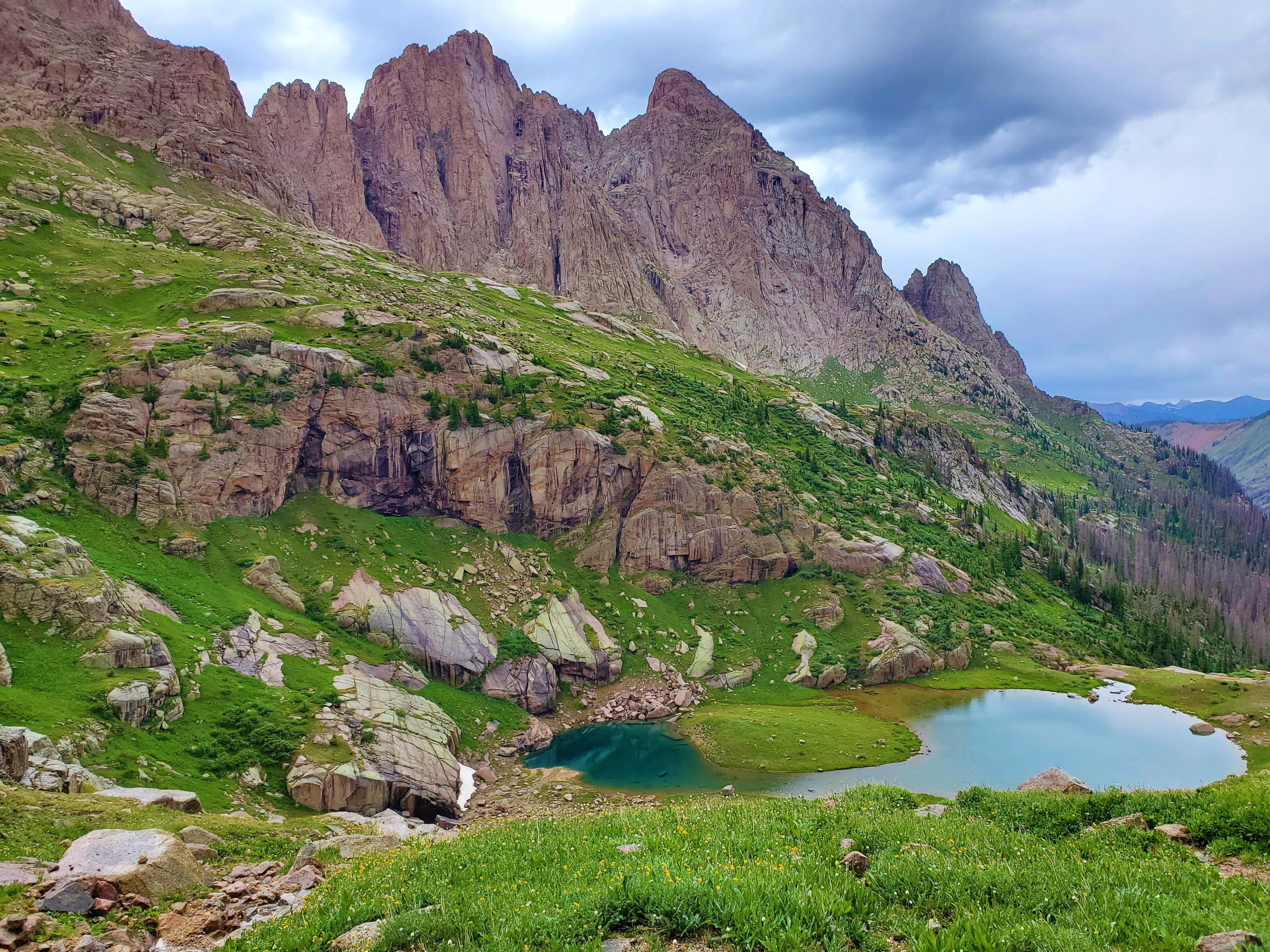
 As it was, we were just happy to be nearing timberline, but it turns out we still had our work cut out for us.
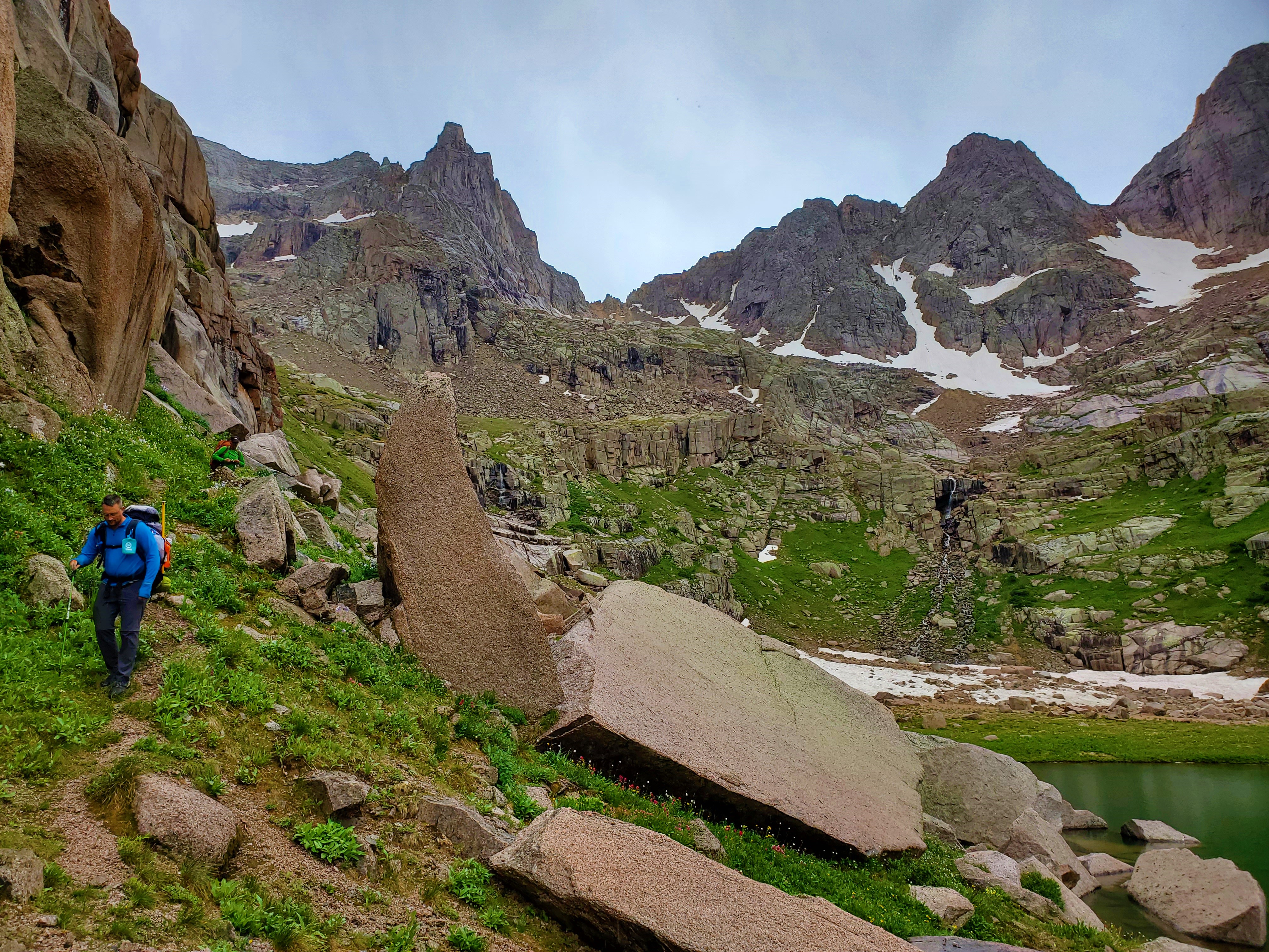 Route-finding below the lake did not get easier. I could not see a way to the left—just cliffs—so I instead followed a trail—another goat path—to the right. This also led only to cliffs, and the guys finally talked me into finding a place to cross the creek below the lake and bushwhack on the left side.
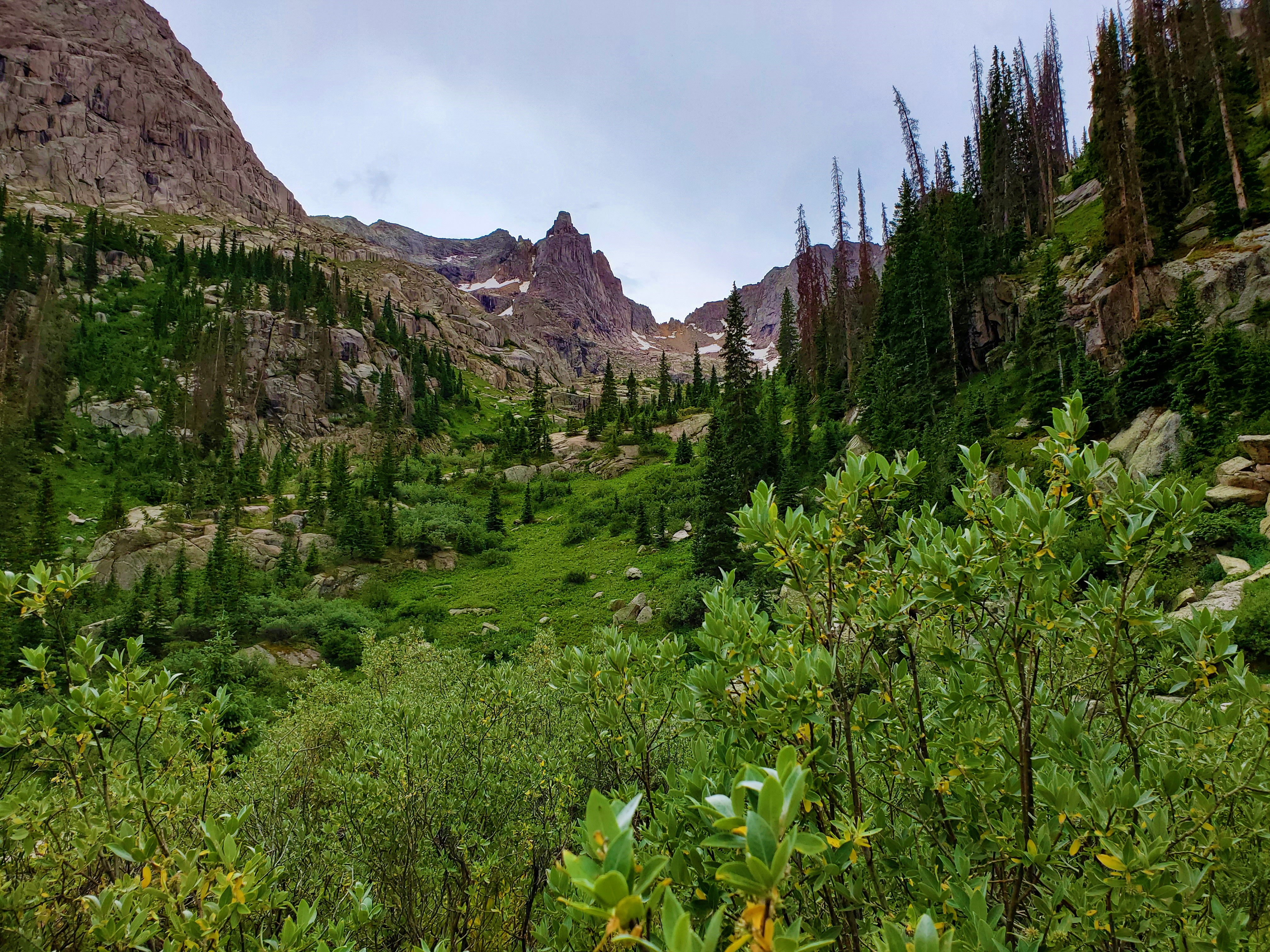
 We did explore our surroundings a little, and found that we were only 65 paces down the trail from what appears to be our turnoff to Jagged Mountain! There are a couple of cairns, and an obvious use trail up into the woods. The trail we were on also gets more defined from there; that will be our descent trail out of Noname Basin.
 Yep, this was the spot! We reveled in our surroundings, the remoteness, the sunset, and the deer that kept stopping by; the difficulty it took us to get there was all worth it.
Continue to Part 2