July 22-24, 2020
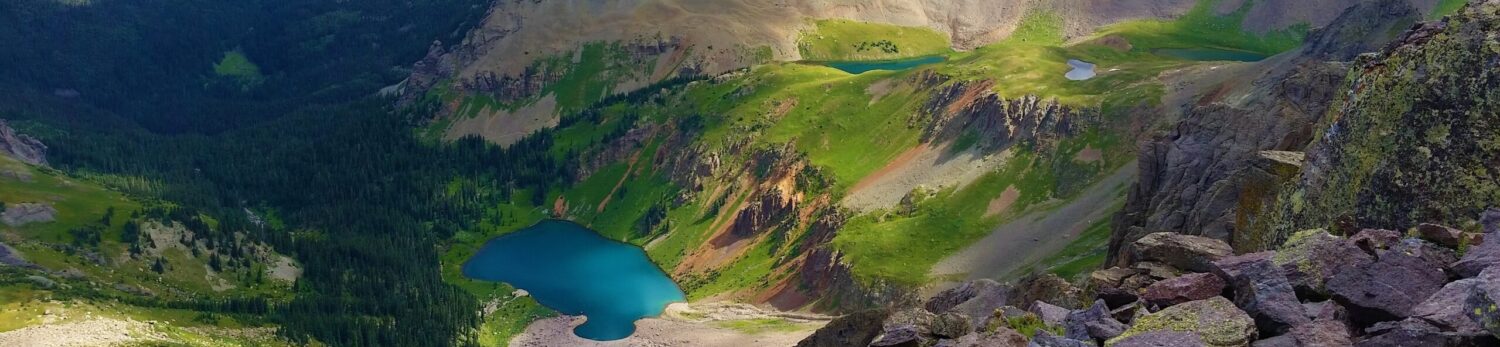
Weminuche, Day 4: Jagged Mountain
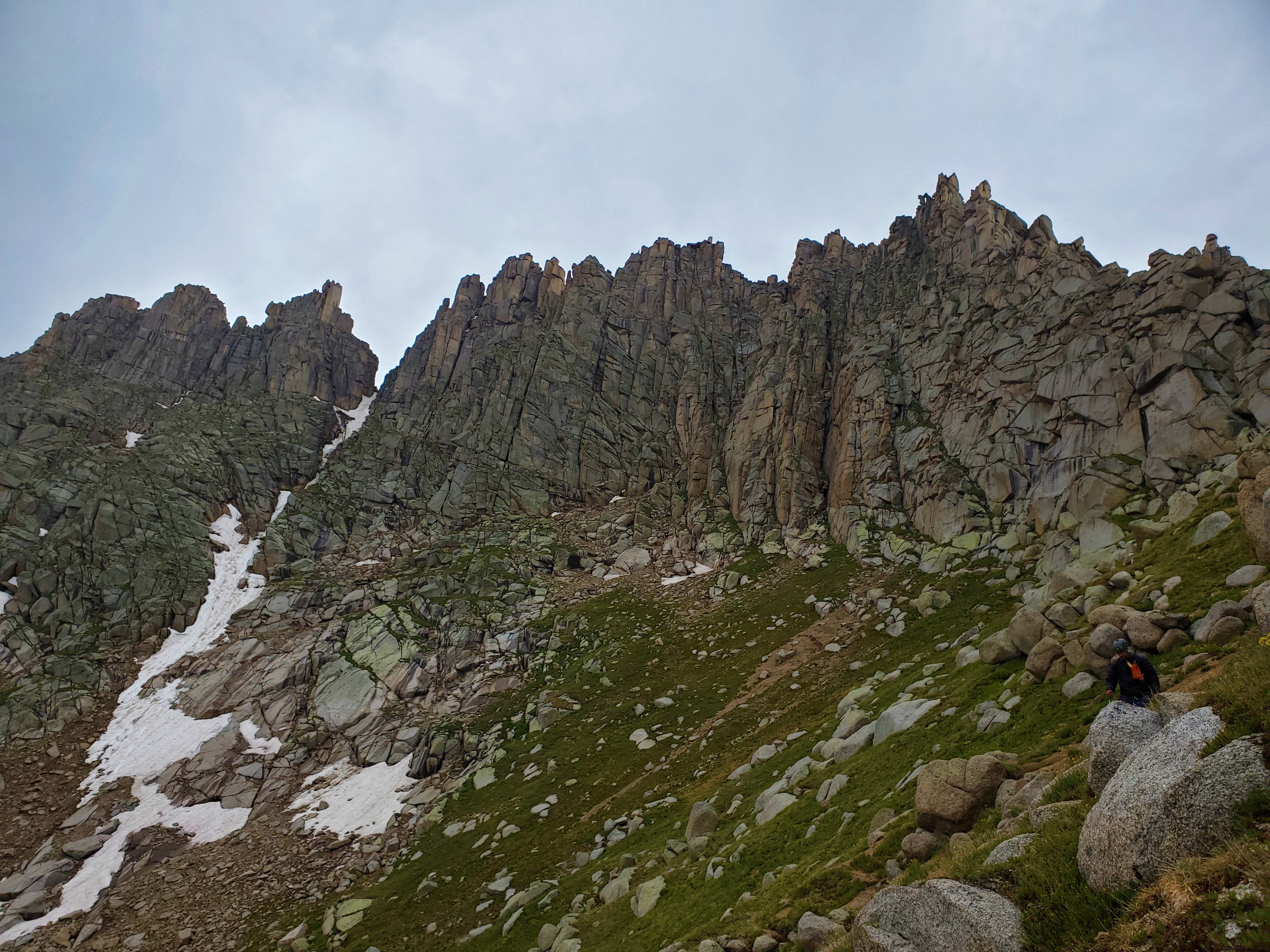
Time for Jagged Mountain! Brian and I started out from camp promptly at 4am, following the use trail steeply up through the woods to the upper basin. We missed seeing some cairns in the pre-dawn darkness, then got turned around a few times in high willows and cliffs, slowing us down dramatically.
Cairns (“Karens”) are helpful, when you can see them. But often we found ourselves looking at a single stone on top of a rock, pondering whether or not it was a thing. Brian called these “Lisas”. Lisas almost always led us astray.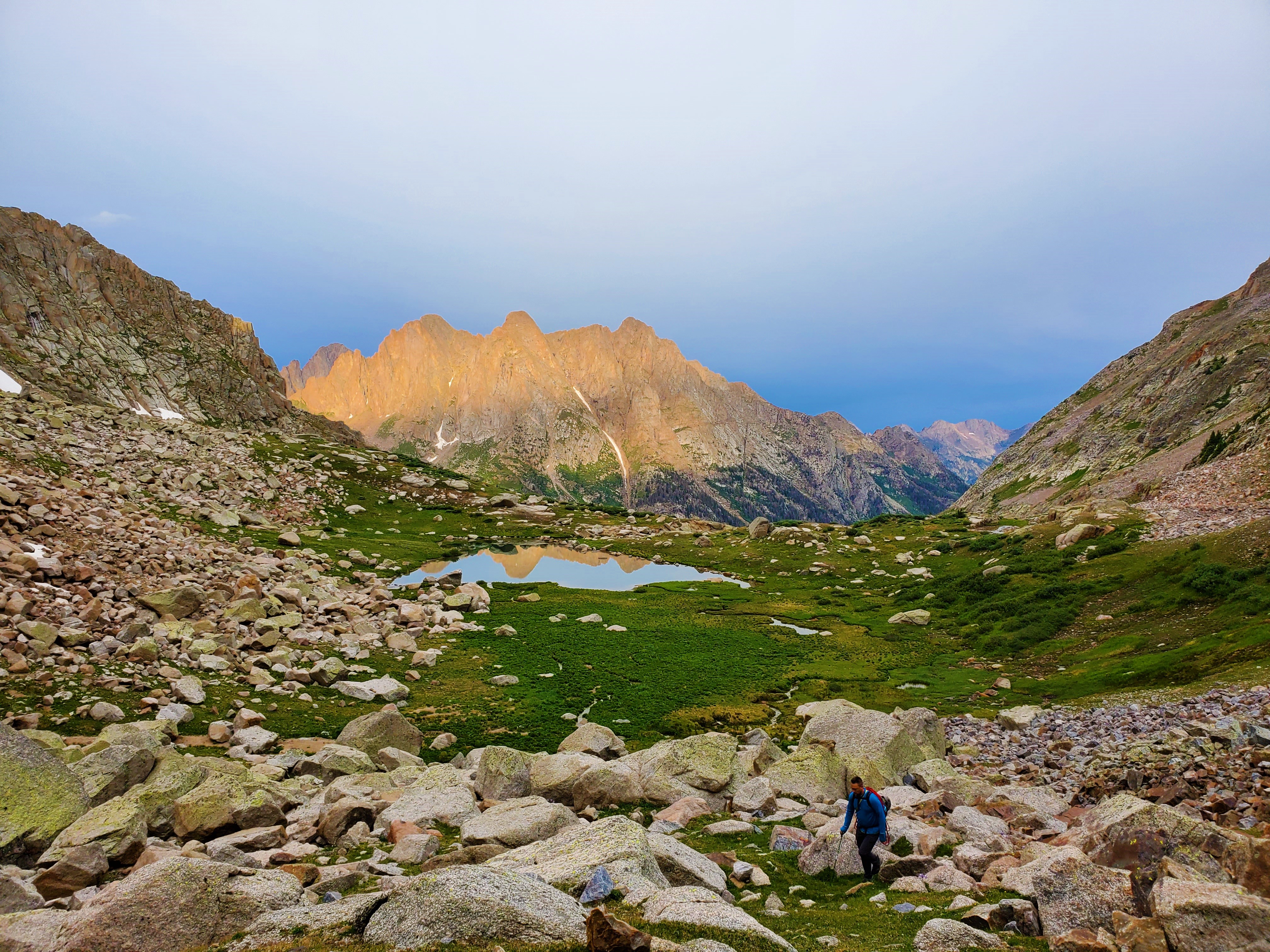
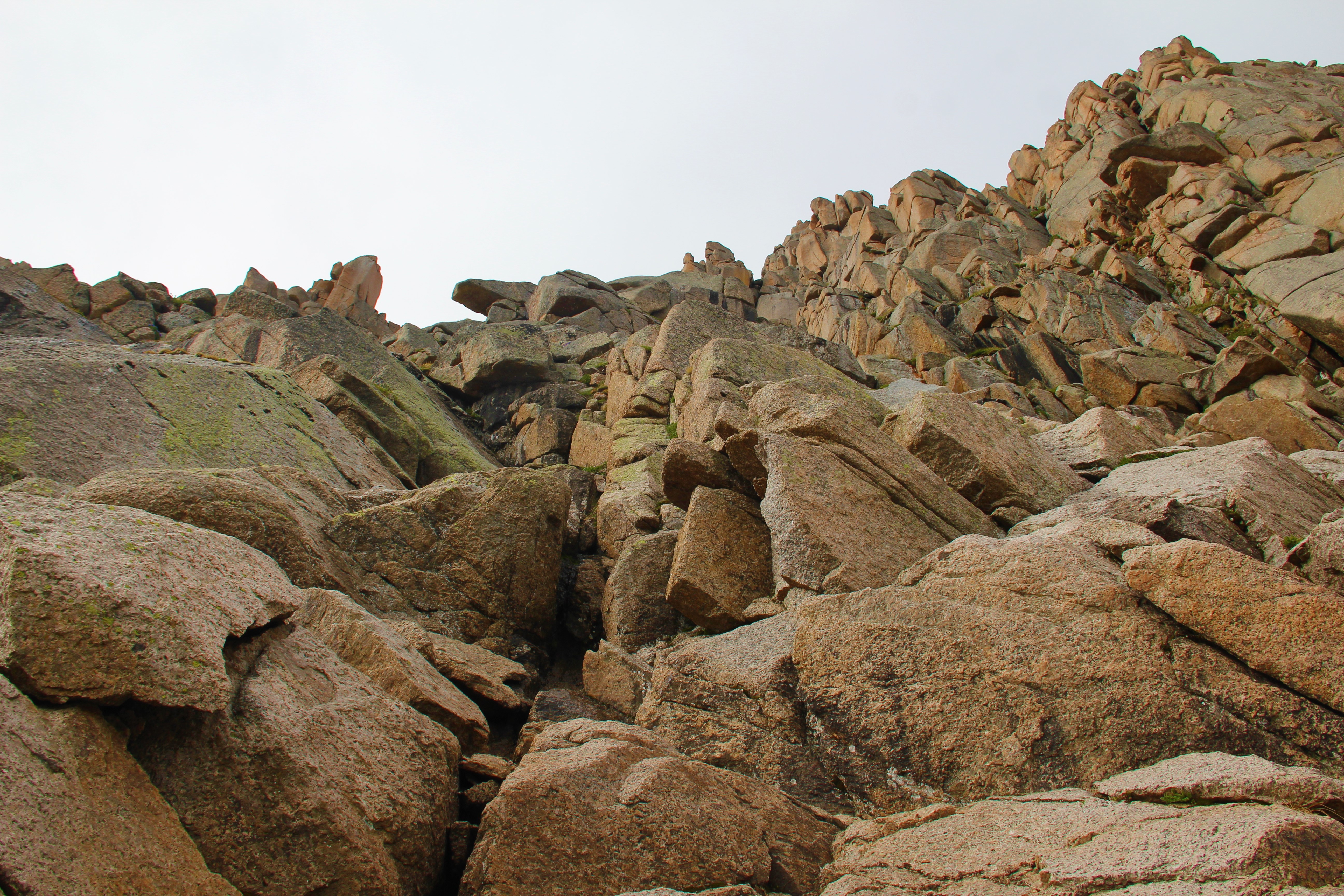 Some scrambling up sloped grassy ledges led us to crux two. This we also found to be harder than advertised. I’m still not certain we took the easiest way up, because we both fell on our first attempt to get over the jutting chockstone. After some awkward moves, scrapes and scuffs, we made it.
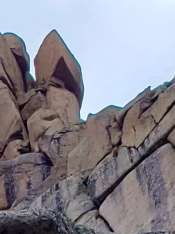
I take responsibility for leading us astray above this. I should have gone with my gut and headed up toward the “rock shaped like a piece of pie,” but a trip report I had read recently led me to believe we needed to continue beyond this before climbing higher. This wasted some valuable time as the clouds continued to thicken around us. Finally, I let Brian rest from trying to lead dead ends above us, and he belayed me as I back-tracked to find the correct route.
Once I was on the right track, the way up was obvious. Most reports I’ve read claim the third crux is the hardest, but I thought it was by far the easiest. The going was slow though, because it was hard to protect.
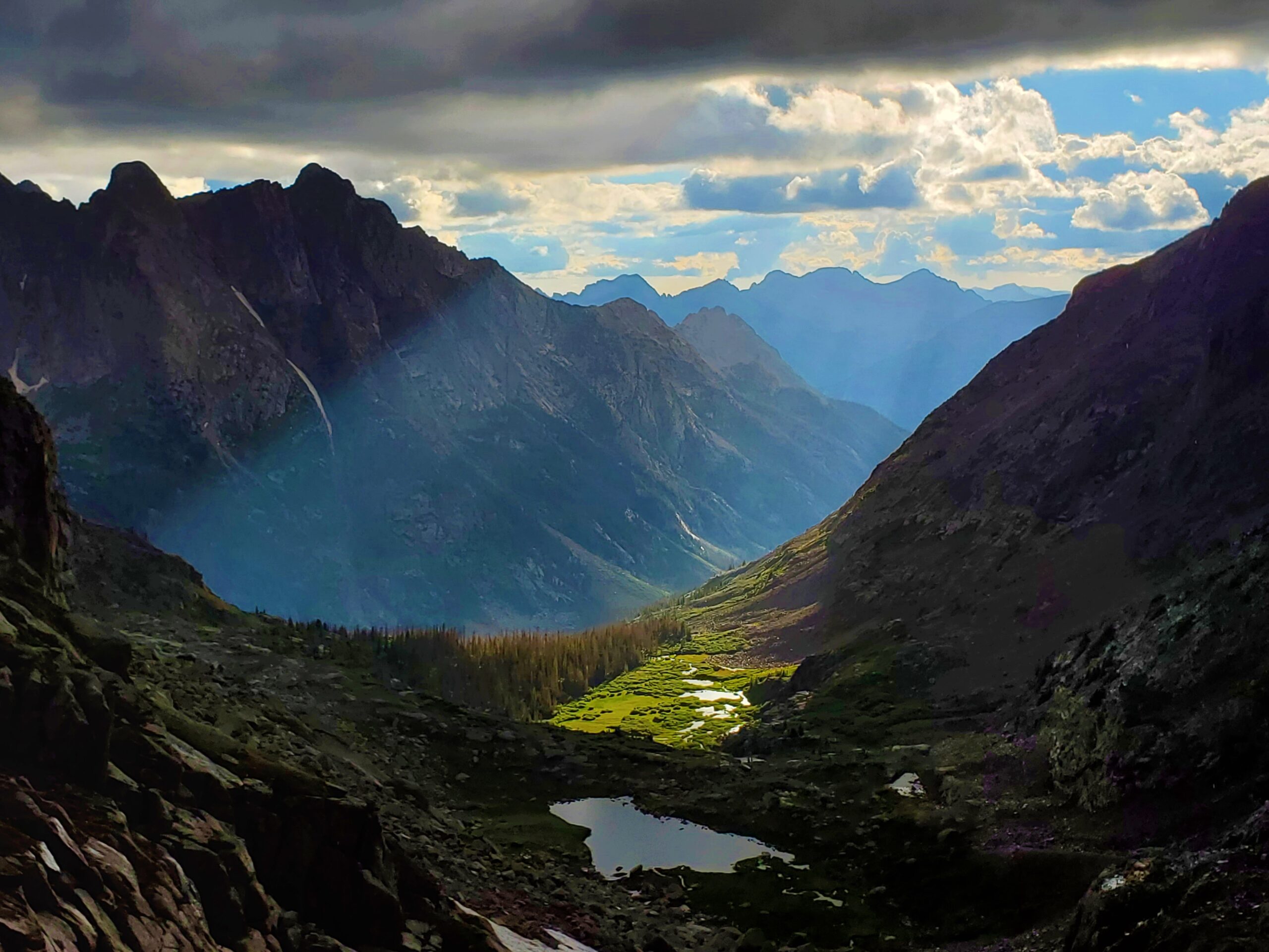
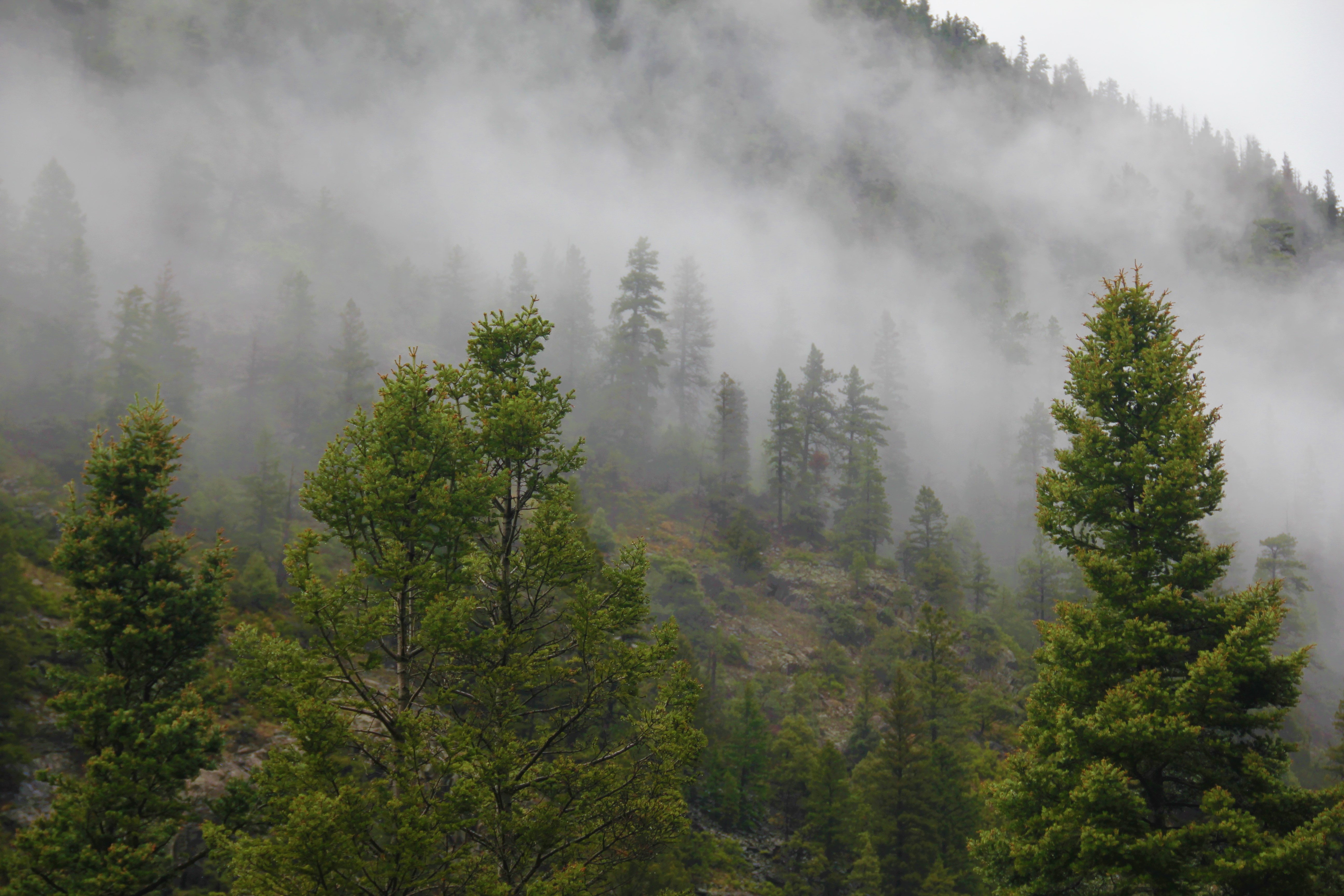
Finally, we passed through the notch to the beginning of the south face traverse. The weather in the next basin looked horrid. I was familiar with this section from pictures, but it was indeed exposed, so we belayed each other all the way over to the base of the summit chimney.
This chimney used to be class 3, but a new (2018) chockstone wedged itself right in the way of the climber, making this crux #4, and what I would rate “5-awkward.” For me, this was about the same difficulty—and awkwardness—as the move on crux two. Brian led and I followed, now racing increasingly darkening skies. I scampered up to him and unclipped from the rope that he was already coiling. Hail was starting to pelt us. “Go! Go now!” Brian implored me.
This guy is first-class. Whether or not he made it to the top, he wouldn’t have me miss standing on the summit after coming so close. I gave him a nod and continued scrambling past him, surprised even here how difficult a couple of the moves were.
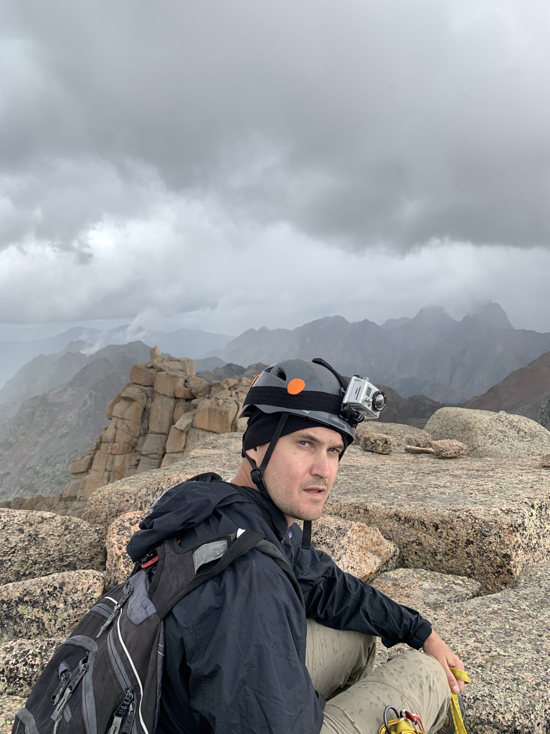
A few moments later, just past noon, I was standing on the summit of Jagged Mountain. The hail stopped falling momentarily, and Brian was right behind me!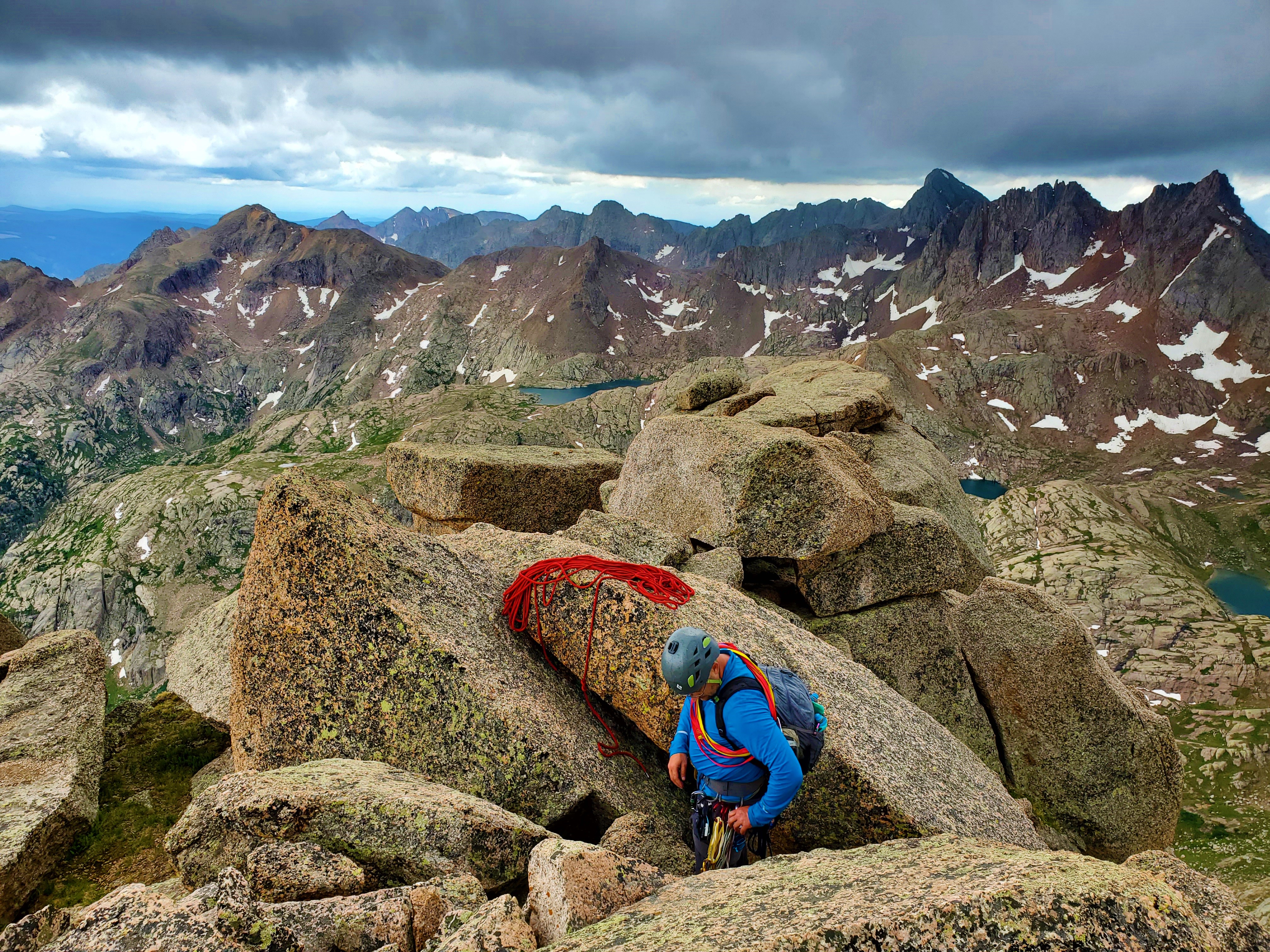
Summit Video by Brian:
Okay—time to get off this mountain!
***
Getting to the top is optional, getting back down is mandatory. – Ed Viesturs
***
Everything was now wet, and we had no choice but to stay attached to the rope the whole way down the mountain. This would require about nine rappels and three belays in total.
We started with a direct rappel from the summit down to the south face traverse, then retraced our steps back to the notch.
Enter one of the scariest moments of my life.
We had to split the third crux into two rappels, because of our short (50 meter) rope. Brian went first on the second rappel, and as he lowered himself, the boulder we were both tied into began to wobble back and forth!
“STOP!” I screamed, but in my mind’s eye the giant rock had already teetered too far, and we were careening down the cliffs below, hopelessly tied into our deadly anchor. Thankfully, only by the grace of God, this was not the case.
Brian had immediately heeded my yell and jumped onto a sketchy ledge below. The thousand-pound boulder had thankfully—blessedly—stopped moving, but we were now in a very precarious spot. We immediately detached ourselves from the boulder, and I looked desperately for an alternative as the cold hail continued to pelt us. I was forced to settle for a very broad, rounded piece of the mountain that required me to leave two slings in addition to the webbing to reach all the way around reliably. This was precious equipment to be giving up so high on the icy mountain, but we had no choice.
After a short but thankfully uneventful rappel, I belayed Brian to an alcove where he set up for the long and awkward rappel over crux two. He took a while to set up a solid anchor, and I got chilled to the bone as I waited. The hail eventually stopped, leaving a slick glaze of ice on everything.
Finally, we were moving again. We made quick work getting past crux two, then set up a rap over the icy ledges below… only for the rope to get stuck. It took us four tiring tries to get the rope loose at last. Thankfully this was on easier terrain, so we were able to climb all the way back up to the anchor each time. We finally had to add two extra slings and two biners to allow the rope leeway and avoid the friction of the rock lip it kept catching. More gear left on the mountain—but at least now we were getting far enough down we were pretty sure we’d have enough gear to get us to the bottom. Still, each setback was emotionally and physically exhausting on what had already been an epic day. It took us two more rappels to get to the top of the lowest crux, and on one of them a biner popped loose from the anchor just as I started to descend! We had a backup in place, but Brian stopped me right away and we re-secured the loose one. Having each other’s backs was the only way to get off this mountain safely!
***
Video of final rappel
***
I had been planning my climb of Jagged Mountain for over a decade. Time and again, those plans were thwarted: by weather, wildfire, injury, train derailment, and travel issues, to name a few. I was determined to make it to Jagged’s summit in 2020. Then, a worldwide pandemic, lack of train access, less than ideal weather, and other factors I won’t even get into, did their best to stop us. Like Brian said, Jagged Mountain had become my white whale.
Many times throughout this trip, and especially on the day of the climb, I felt we were not going to make it to the summit. We had way too many route finding discombobulations that slowed us down early on, the weather went from bad to worse, the rope got stuck more than once, we were fighting off hypothermia and dehydration, and of course the mountain tried to kill us.
I never like to say I “conquered” a mountain, and it certainly wasn’t true in this case. We made it to the top and back down to the bottom, and survived—and that’s it. As we made the final rappel back down to safer ground around 7pm, we were both of one mind that we were thankful just to be alive. It wouldn’t set in for several days that Jagged Mountain was behind me at last.
 But the day wasn’t over, of course. We still had several steep miles to descend—across wet talus and through willows and thick forest in the dark. And it was raining again.
We had spent 18 hours away from camp (11 hours on the mountain). It was near 10pm when we stumbled back to our tents, six hours past even our most pessimistic projection. Brian had sprained his ankle during the steep descent through the woods in the dark, and he could hardly put any weight on it as we got back to the tents. That would be a source of great pain for him the next few days, but for now we were happy just to be alive and back at camp with Greg. “YOU WORMS!” was what Greg repeated several times when we finally showed up (I had been expecting worse). We had tried radio communication at 4pm, while we were still on the mountain above crux two (too far), and he had gone up the valley in search of us—but wisely returned to camp before darkness set in. He had his Weminuche map and was mentally preparing to descend Noname Basin alone the next day in search of help. Thankfully, that was not to be.
We changed into dry clothes and ate a lot of food, but our bodies were winding down. Brian said I fell asleep a couple of times while I was standing there. I do know I stayed awake after the others, staring at the incredible starry sky well past midnight, rightly feeling like I was in the middle of nowhere.
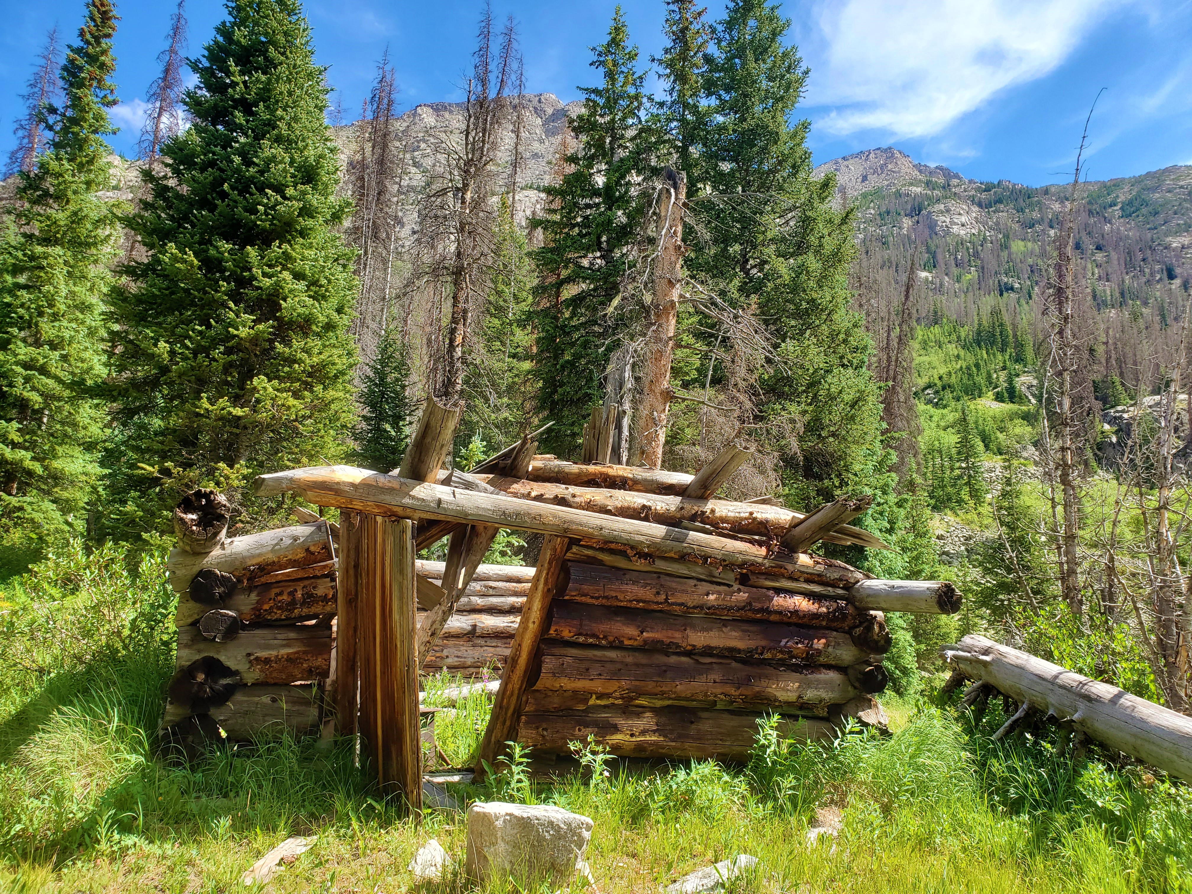
Weminuche, Day 5: Noname Basin, Watertank Hill
***
The Noname Creek drainage is one of Colorado’s most spectacular valleys, and an outing here will likely lodge in your memory forever. – Gerry Roach
***
At some point overnight, I had mustered the will to stop staring at the sky, unzip my tent and slip into my sleeping bag, but now that a new day had dawned, I had no will to move from my comfortable spot.
Brian, meanwhile, was awakened by our resident doe, licking the dew from this tent fly.
Greg was excited to get going today, but Brian and I had used up all of our adrenaline the day before, and were slow to move. After breakfast and a long, drawn-out job of packing up camp, we finally set off to begin our descent through Noname Basin, around 10:30am.

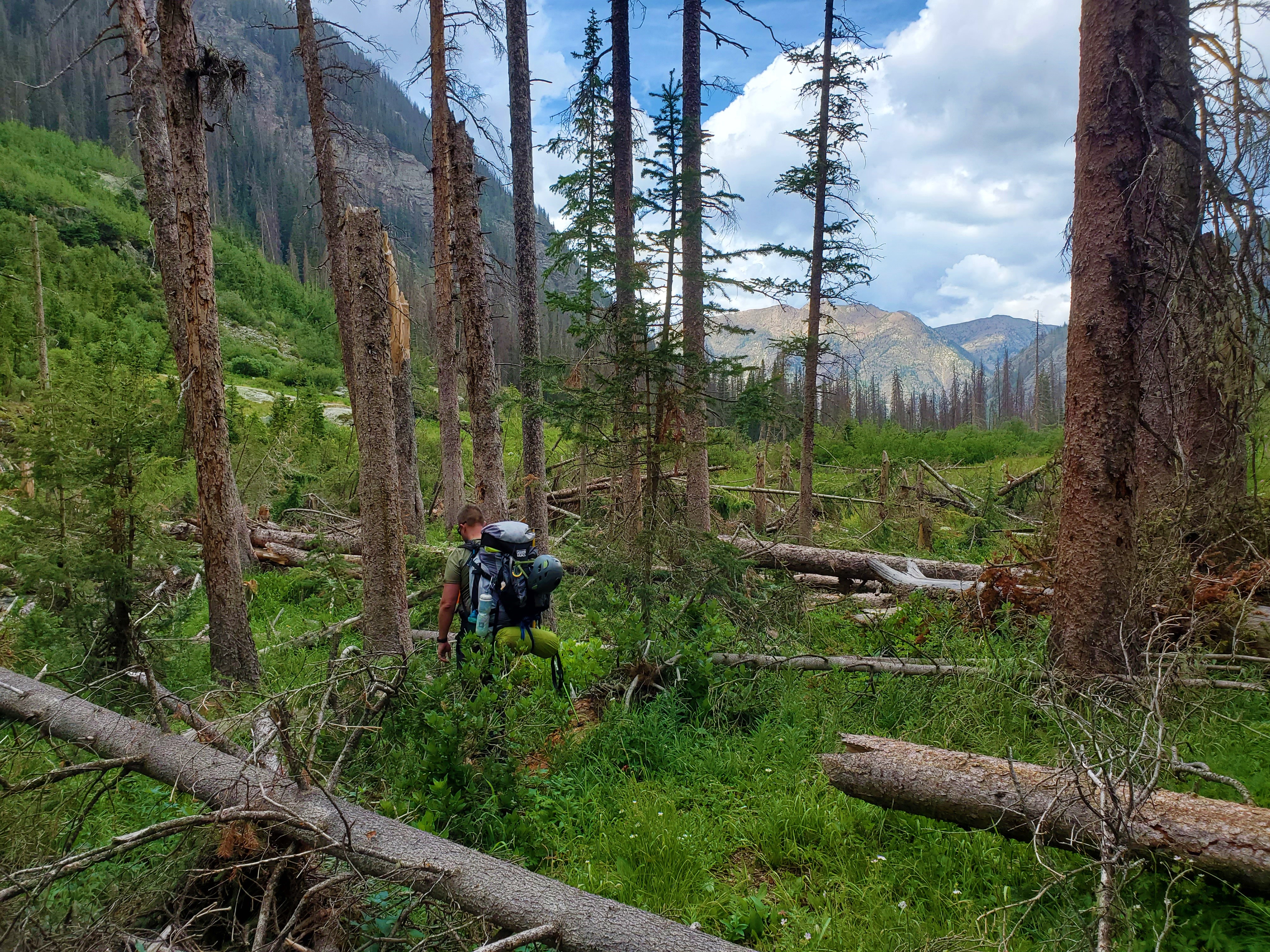
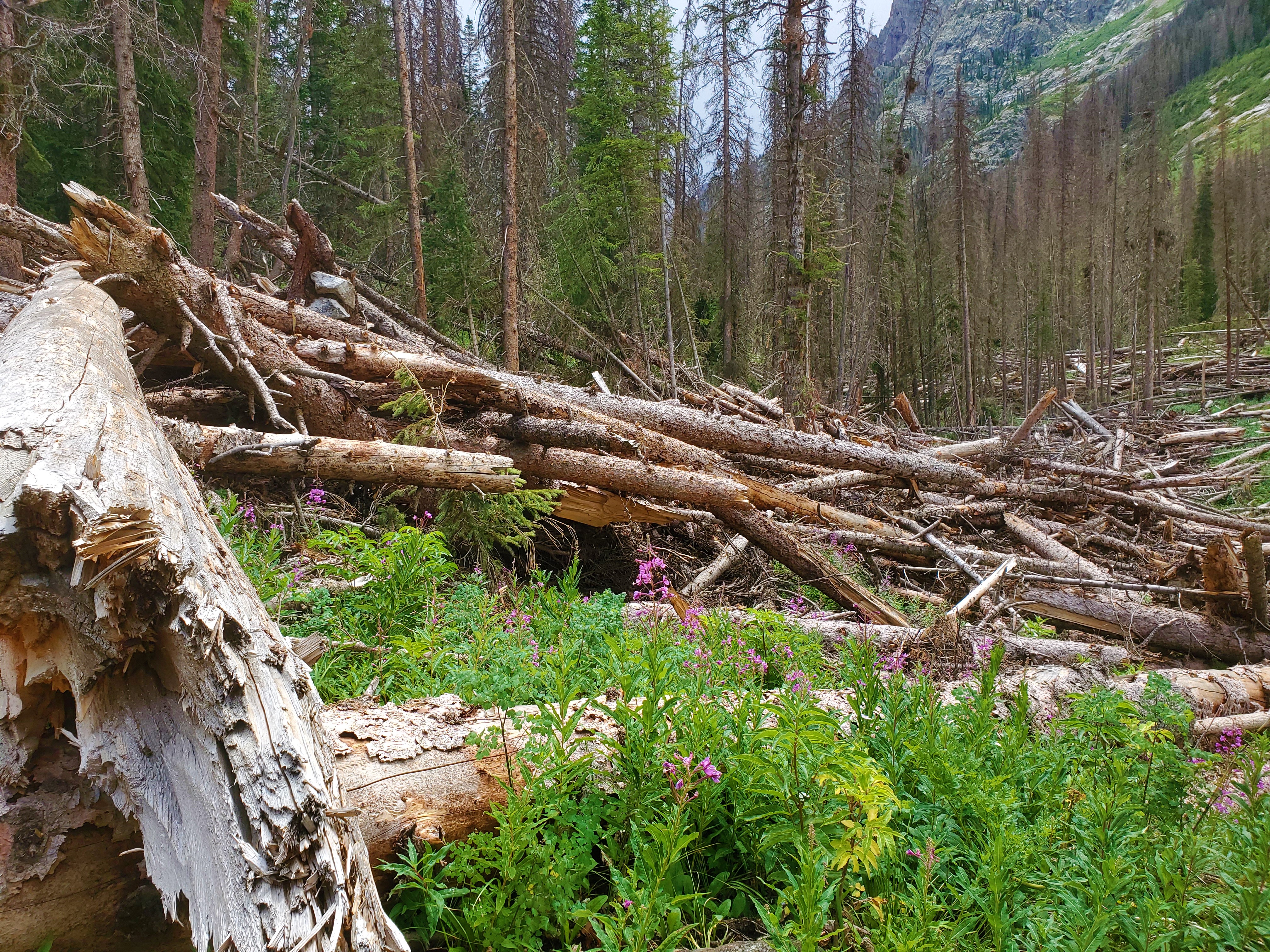 Eventually the downed trees relented, and we got on a more well-defined trail, which led down, down, down toward the Animas River. I welcomed the downhill on defined trail, but for Brian every step was another painful reminder of how far we still had to go.
We were too optimistic about what the trail would be like when we got to the Animas River. First of all, we had to ford two creeks, Noname and Ruby.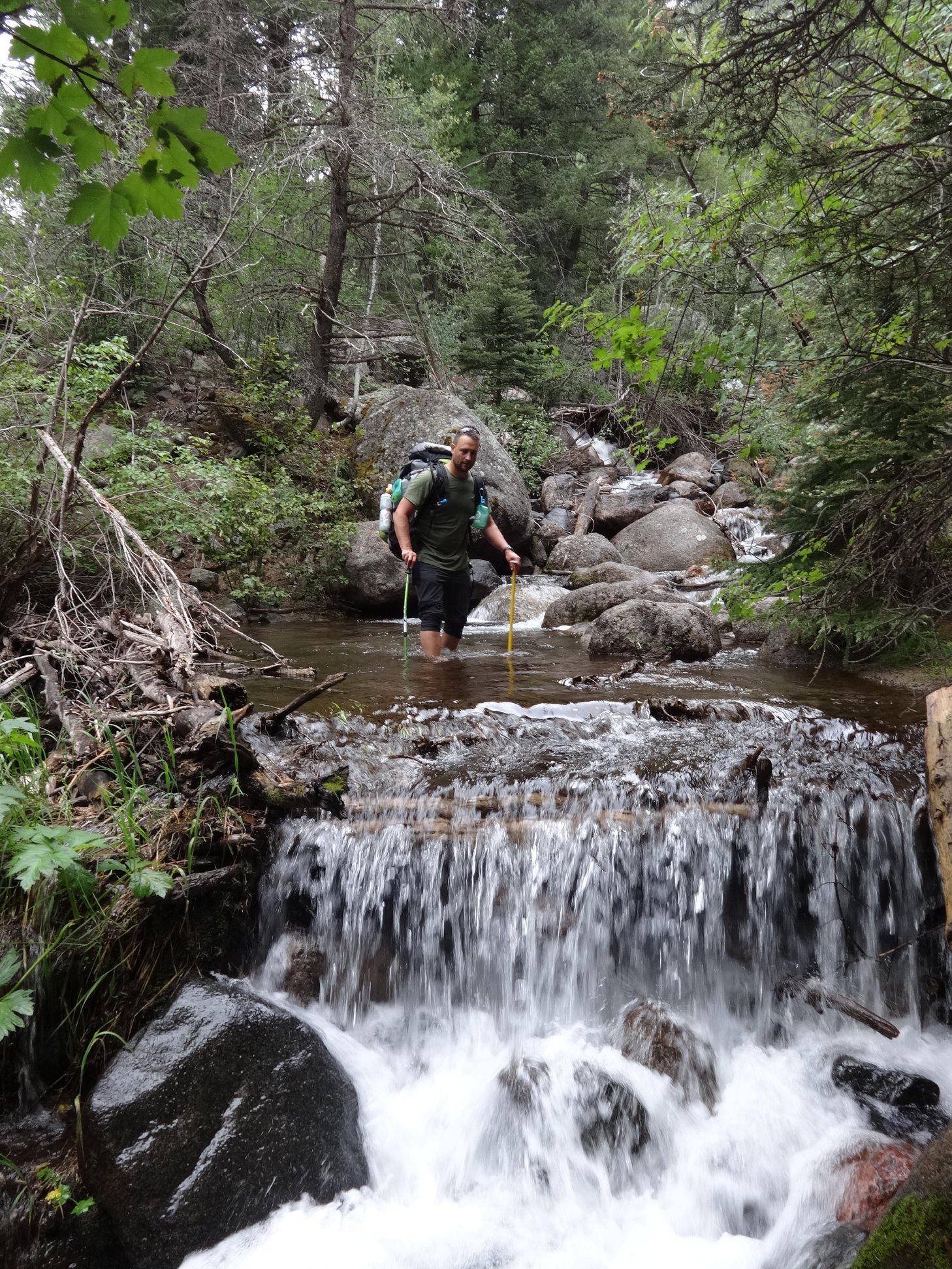
The much-maligned Watertank Hill was exactly as annoying as reported—both the uphill and downhill. I don’t have much more to say about that.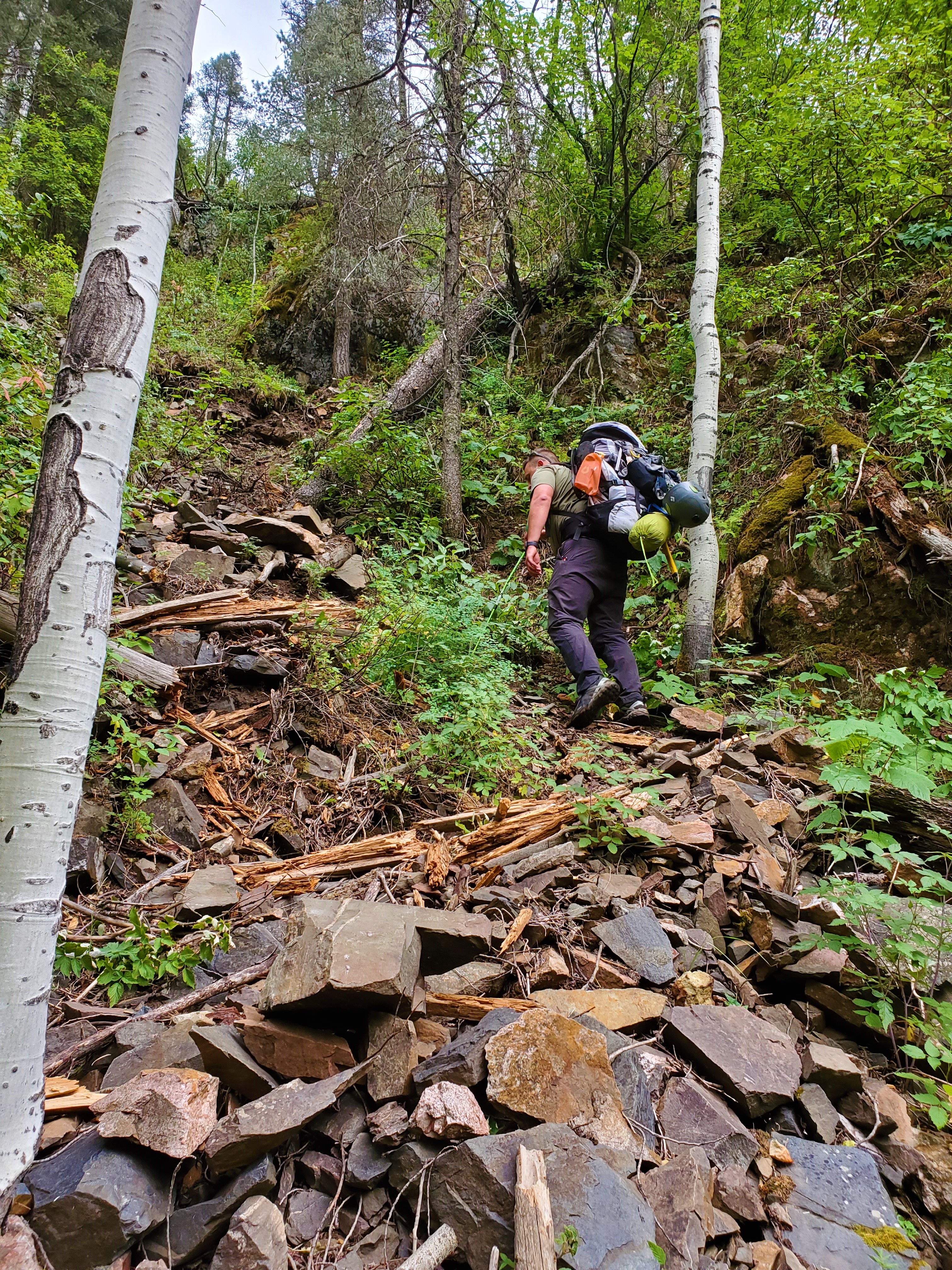

At 7:30pm, we were finally happy to see our destination, the large camping area next to the Animas River, was vacant. But, we were all beat and hardly in the mood for talking as we quietly set up our tents and got food ready. Today’s 12 miles had been more than we expected, and a lot more difficult than any of us had anticipated.
This camping spot by the Animas River is indeed one of the nicest places I’ve ever camped, but we hardly had time to enjoy it. Thunderstorms were booming up in Chicago Basin, and ended up overtaking us before long. We hunkered down in our respective homes, and called it a night. Our five-day loop through the Weminuche Wilderness was complete.
Weminuche, Day 6: Animas River Camp to Purgatory Flats Trailhead
What a week it has been.
But after very difficult days 3, 4 and 5, today was easy trail as promised.
 We slowed down along Cascade Creek, and struggled with our sore bodies to make the final climb up to the Purgatory Flats Trailhead, but we made it to the crowded parking lot at 1:30 in the afternoon. Time to learn how to walk again–without a pack.
