Distance: ~12 miles (round-trip)
Elevation Gain: 7,200 feet
Class 4
July 10 – 11, 2021
Day 1 – Train, North Pigeon Creek and Pigeon Peak.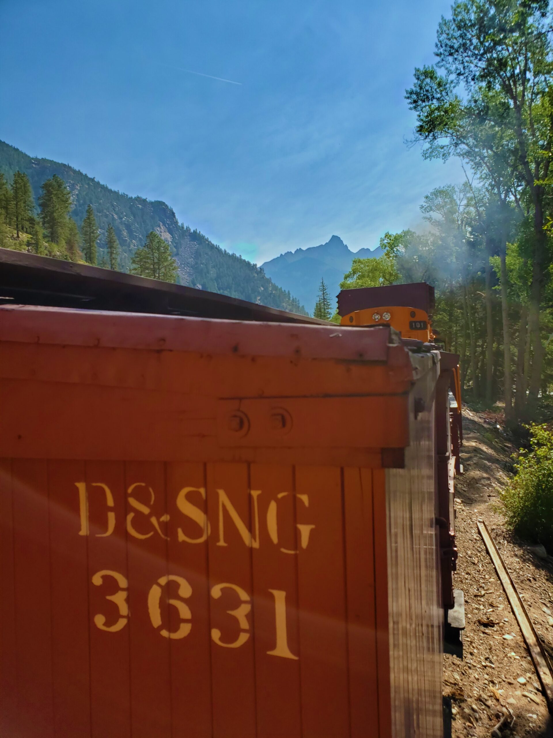
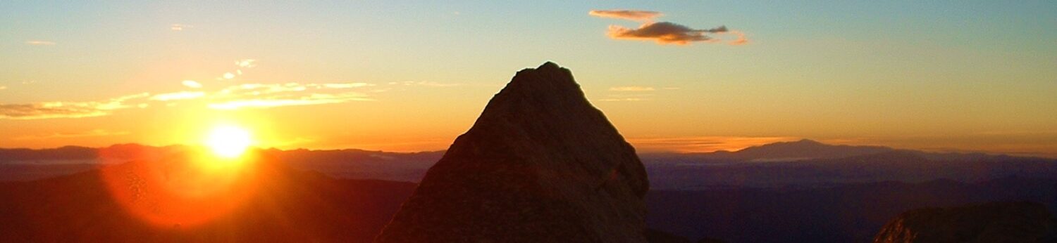
 Vestal, Pigeon and Turret have been on the back-burner in my climbing of the centennials, and for good reason. But after a great day on Wham Ridge earlier this week, I had a perfect forecast for today and tomorrow to climb the other two. I decided even with the steep slog up into North Pigeon Creek, I would try to go for Pigeon Peak today, leaving only Turret for tomorrow.
This plan worked to perfection. The train dropped me off promptly at Needleton late this morning, and at 10:40 I was on my way.
Literally everyone else who got off at the stop (probably thirty people) headed up to Chicago Basin, while I crossed the bridge and immediately turned left to leave the masses behind.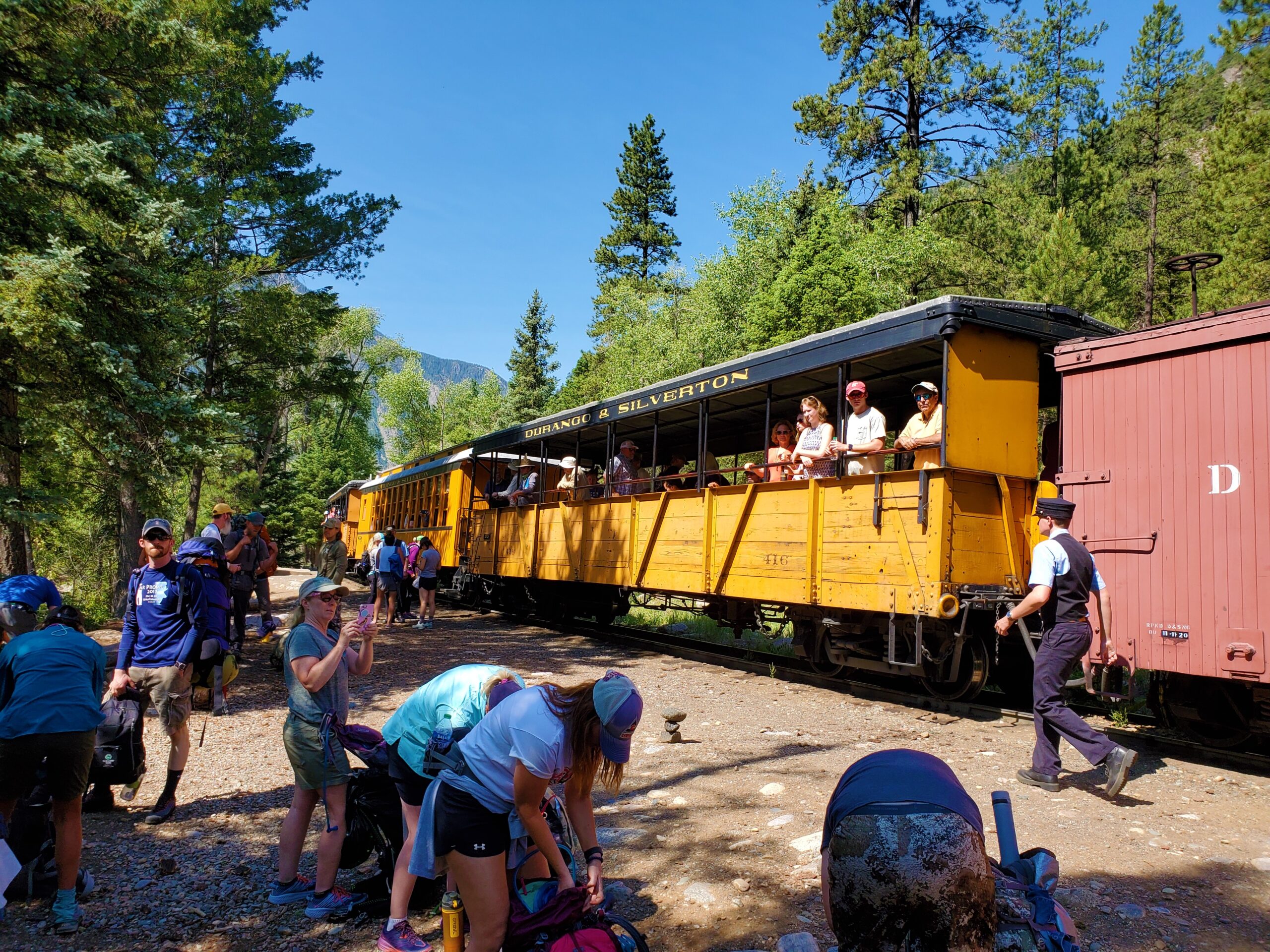
 On the aforementioned steep trail, I went right into the “two hundred steps, then stop and breathe” routine.
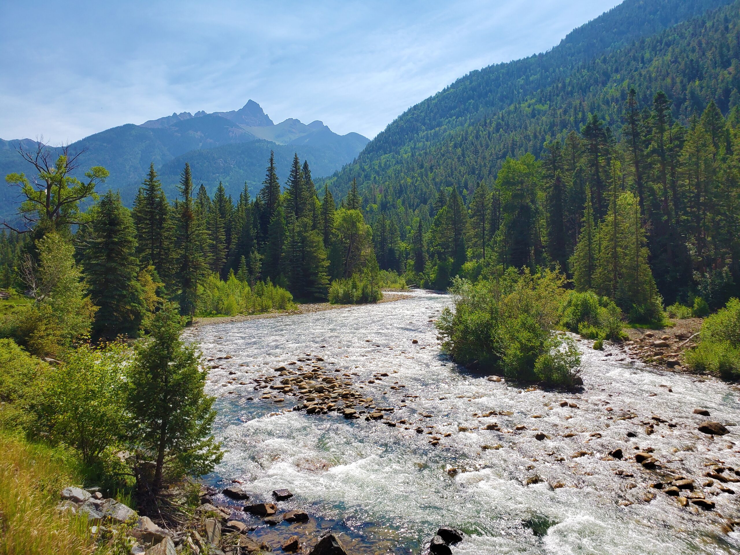
In the midst of a heatwave in Durango, the middle of the day was quite hot and buggy here as well. There is no water source on the entire approach, except for the crossing of Tie Creek, so I took good advantage of that.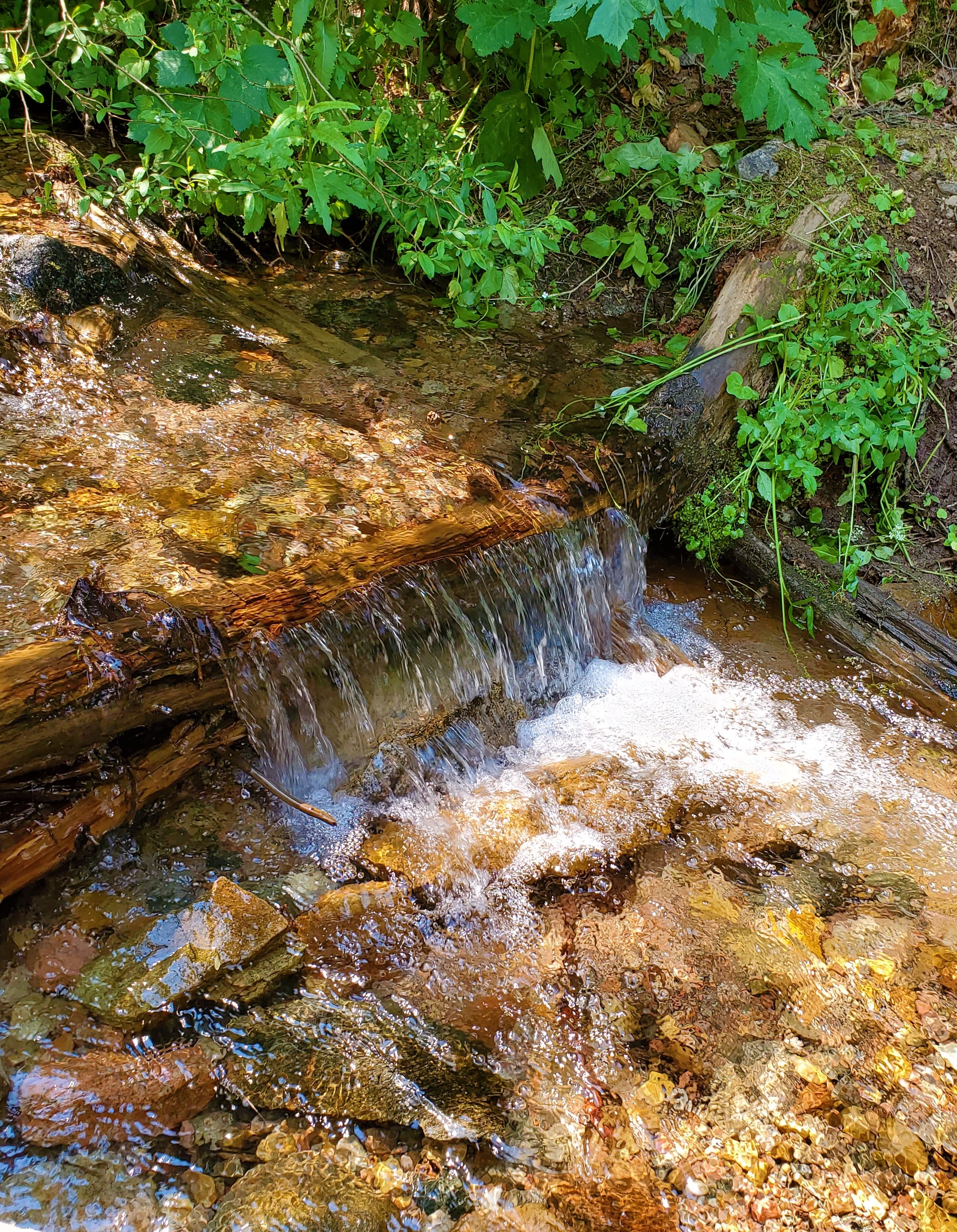 Otherwise, I kept moving.
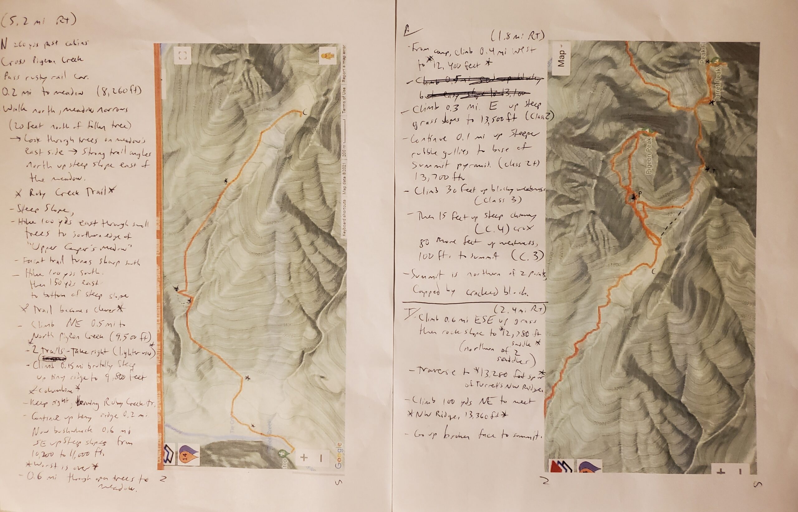
However, as I turned even more steeply up onto the bank opposite the creek, my “two hundred steps” at a time went out the window. Many places I had to pull myself up using trees and brush, and after a few steep steps of that and working to avoid letting my heavy pack pull me backwards, I would have to stop and catch my breath again.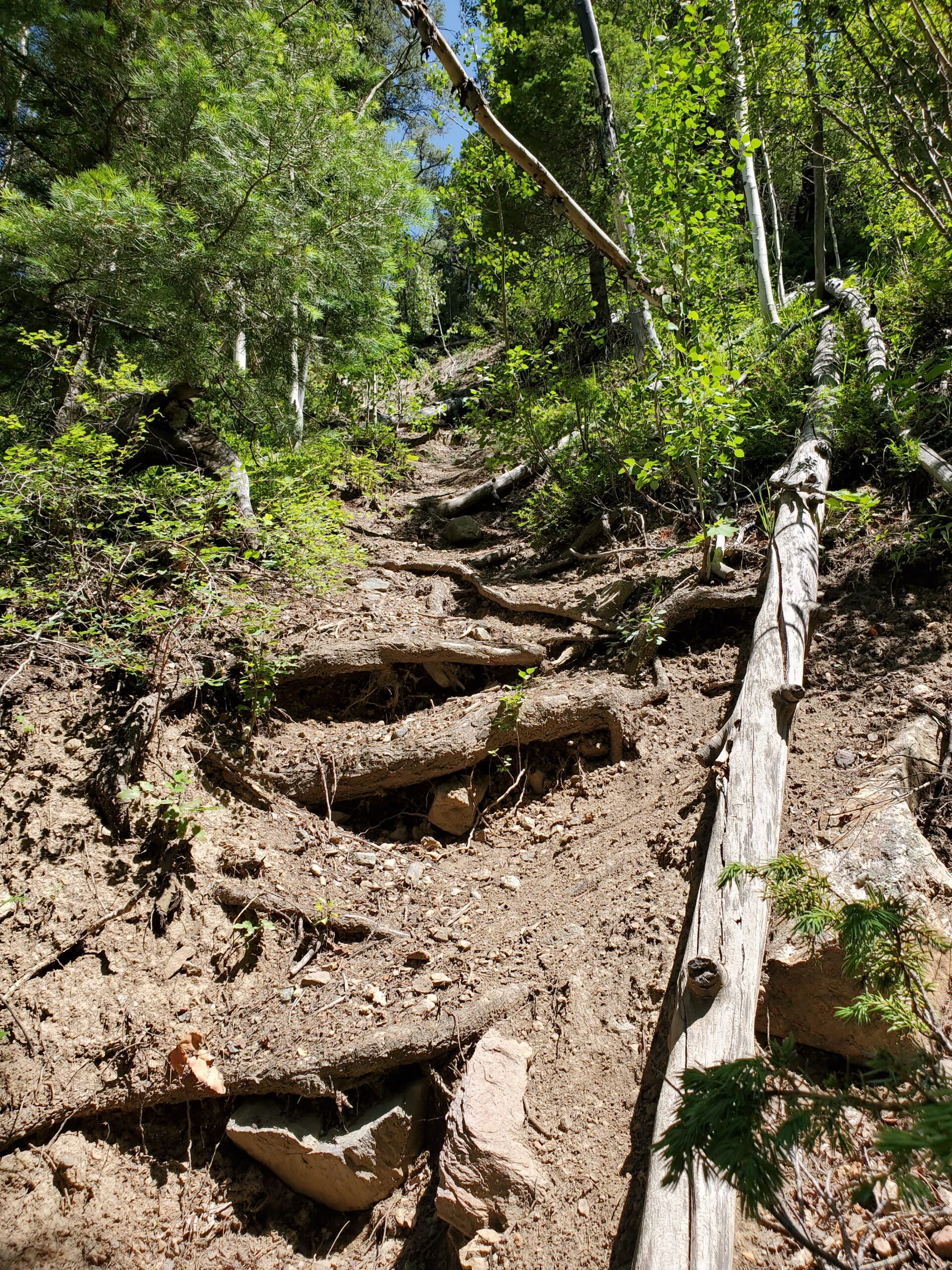 After leaving the Ruby Creek Trail, the bushwhack uphill went well, but until 11,000 feet the steepness never relented. The routine remained the rest of the way up into the basin: take ten or twenty steps uphill… stop and breathe!
The route-finding would have more been difficult without at least a compass to keep me heading the right direction: southeast. It was easy to avoid going too far to the right, where the terrain dropped steeply into the Tie Creek Ravine, but my inclination was to keep hiking too far left (east), so I kept my bearing and continued more or less the right direction the whole way.
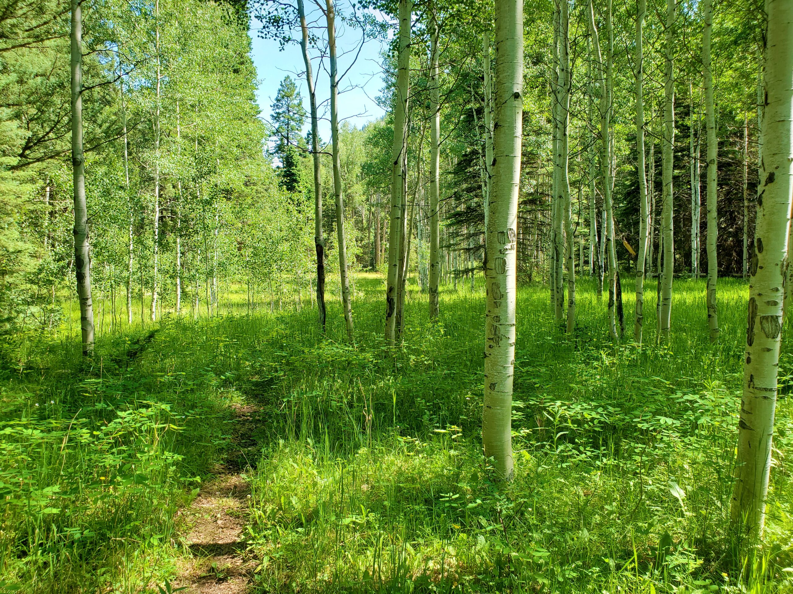
Getting closer to the basin, I started following game trails, and found plentiful animal sign: bear scat several places (fresh, with buzzing flies!), large rocks overturned by bears looking for grubs, elk rubs and droppings, and higher up, goat tracks and wool. There were also a number of cairns through this area, but by now it was obvious where I was headed. I followed more game trails through a patch up willows, then steeply up through a forest of big spruce trees to 11,700 feet.
Finally, I popped out into the suddenly very flat upper basin of North Pigeon Creek. What a wild, remote-feeling place. I waded through the willows and came out into the clearing on the other side. This whole area looked untouched, as if no other human had been here in years!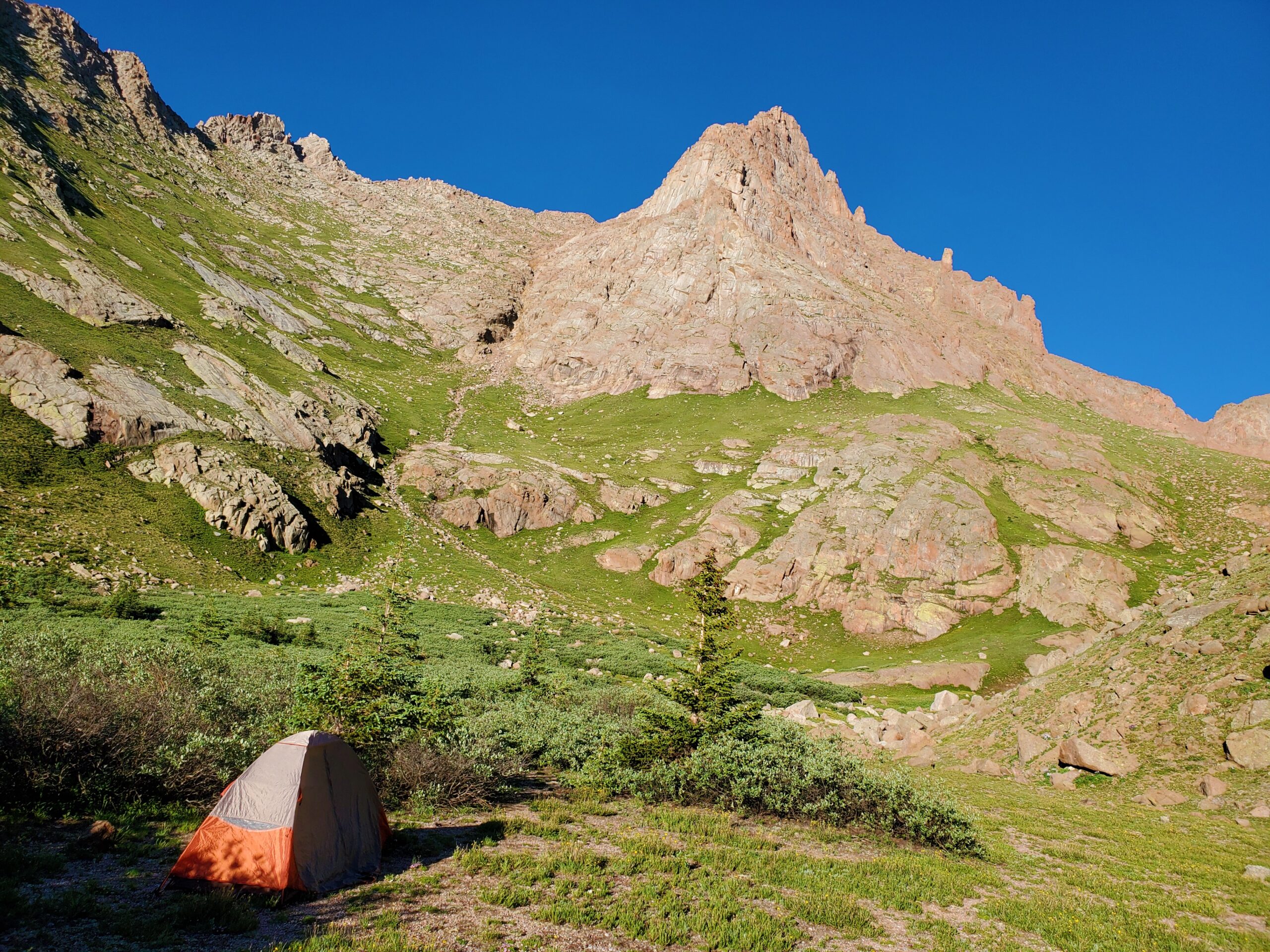 I don’t take many long stops while I am hiking alone, so despite the countless stops to catch my breath, I was still making good time. Arriving a few minutes before 3pm, I wasted no time setting up my tent and throwing all my excess gear inside. The sky was cloudless as promised, so by 3:10, I was headed for Pigeon Peak!
I had initially been disappointed to find the gully next to my tent to be bone dry. It’s been a drought year, so this was not surprising, but I was happy to find flowing water at the far end of the basin, as I continued toward Pigeon. I topped off all my water bottles, then started up the steep grass slopes to my left.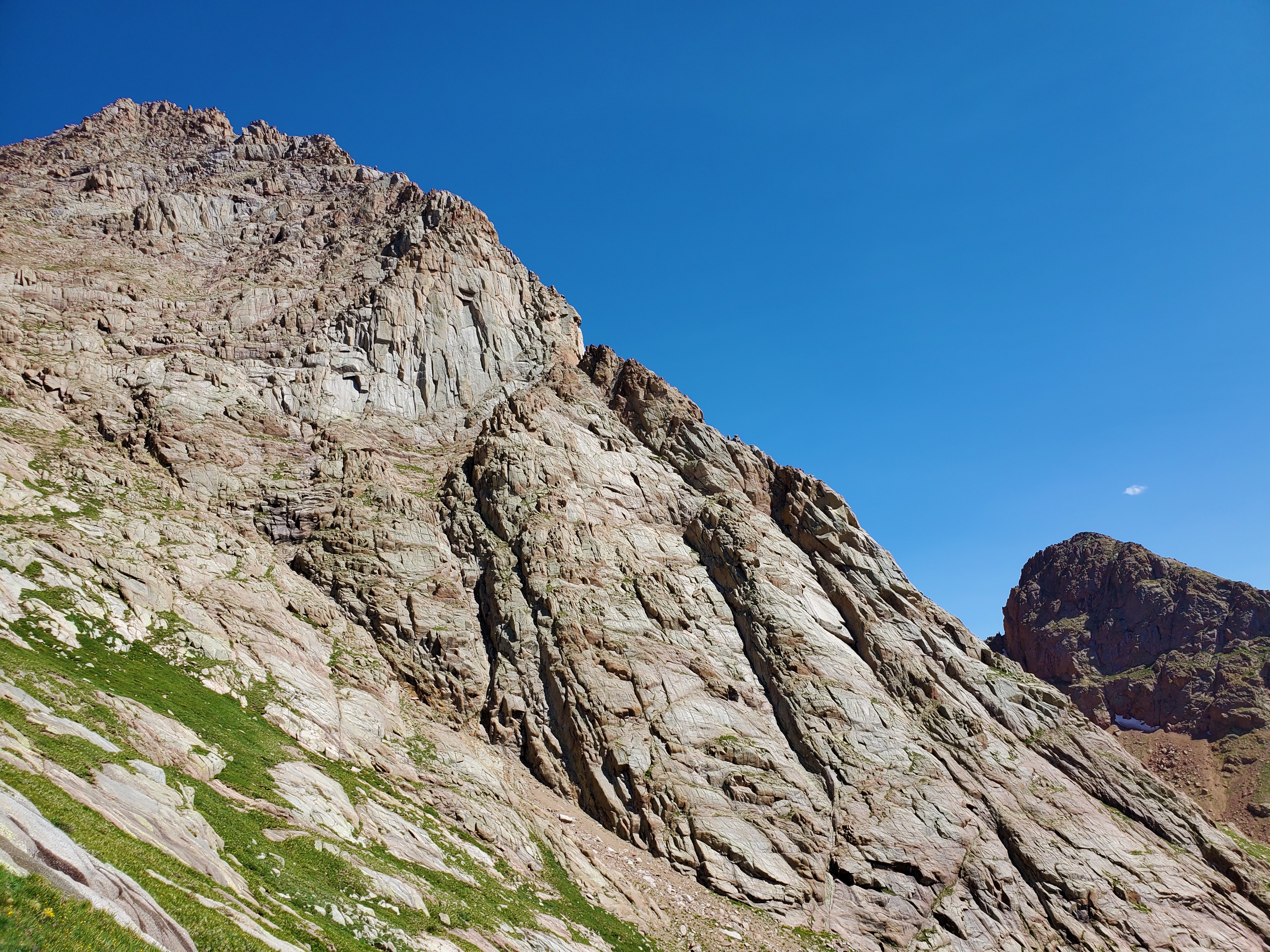 That was the name of the game to 13,500 feet: Steep. Grass. Slopes.
Finally, things got interesting. The rubble gullies were annoying as I expected, and then the imposing summit pyramid stood the only thing in my way.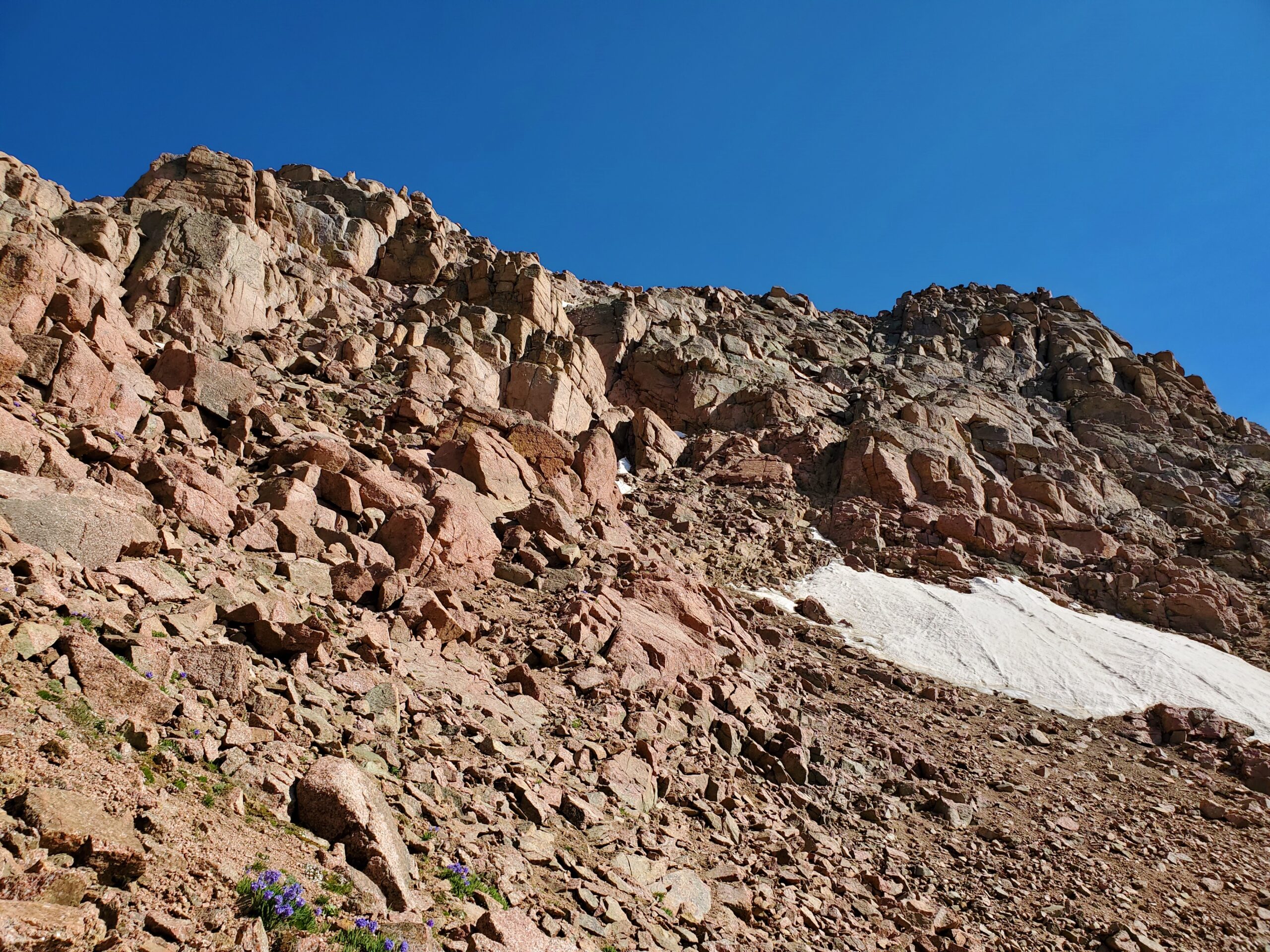 I’ve read mixed reports on the difficulties of Pigeon Peak. Here’s my take: there is more than one way to the top, and I don’t think I took the easiest way. I think I took the way more or less described by Gerry Roach: most of it is 3rd class, but there is one very airy 4th class move about a third of the way up the climb which really got my attention. It was definitely harder to downclimb, but I took my time and was able to find the holds I needed.
 Otherwise, it was a fun class 3 scramble the remainder of the way to the top. Again, I took a harder, direct route here, and found a trail around the upper difficulties on my way down. There was some snow, but it was all easily bypassed.
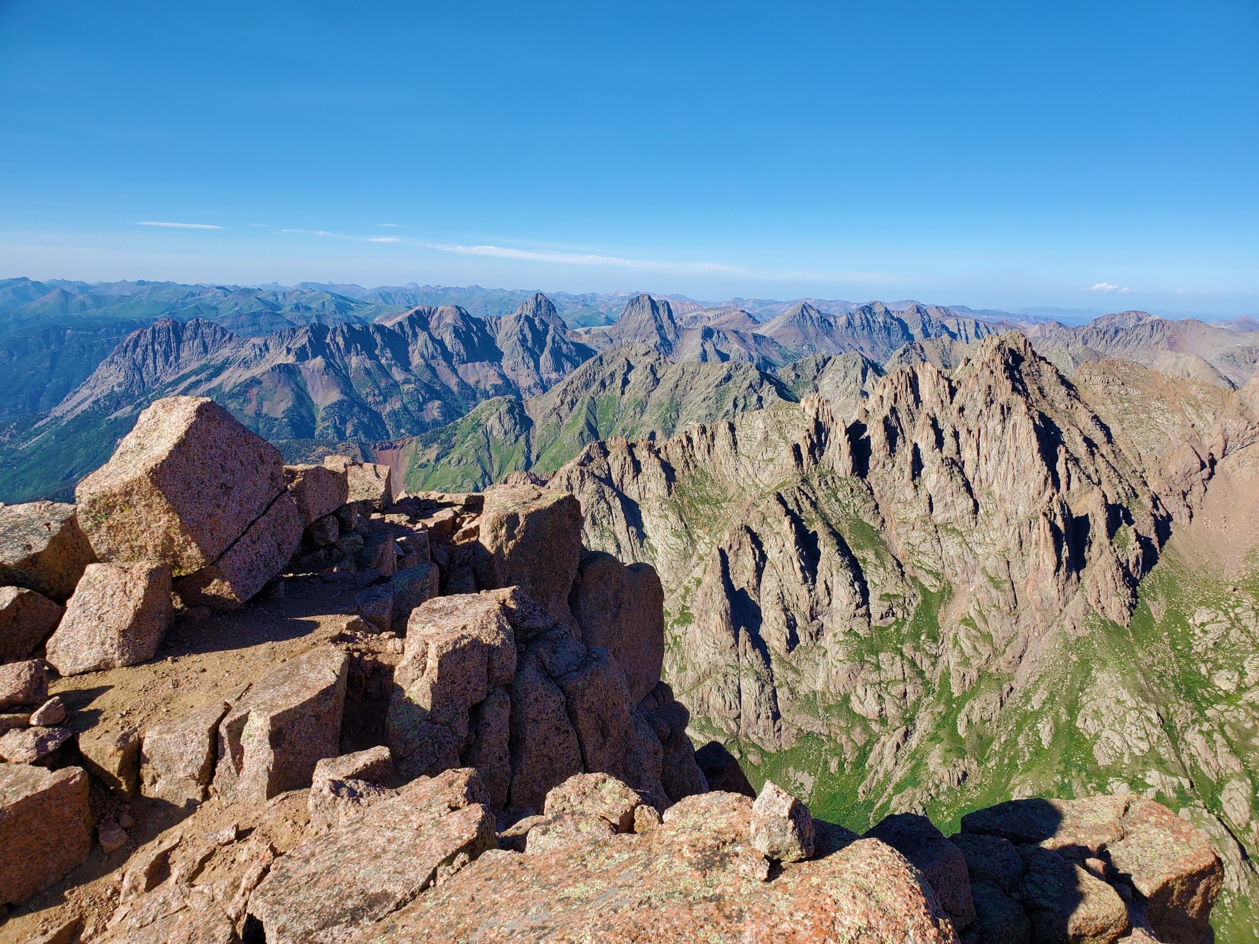
 At 6pm, I was standing on the incredible summit of Pigeon Peak. Amazed to have full cell phone reception, I called my wife and family. I enjoyed talking with all of them briefly, before I had to get to the work of down-climbing and getting back to camp. I was feeling strong, and had briefly considered going for Turret as well, but decided against it as I would rather do the hike in daylight tomorrow, and call today a win.
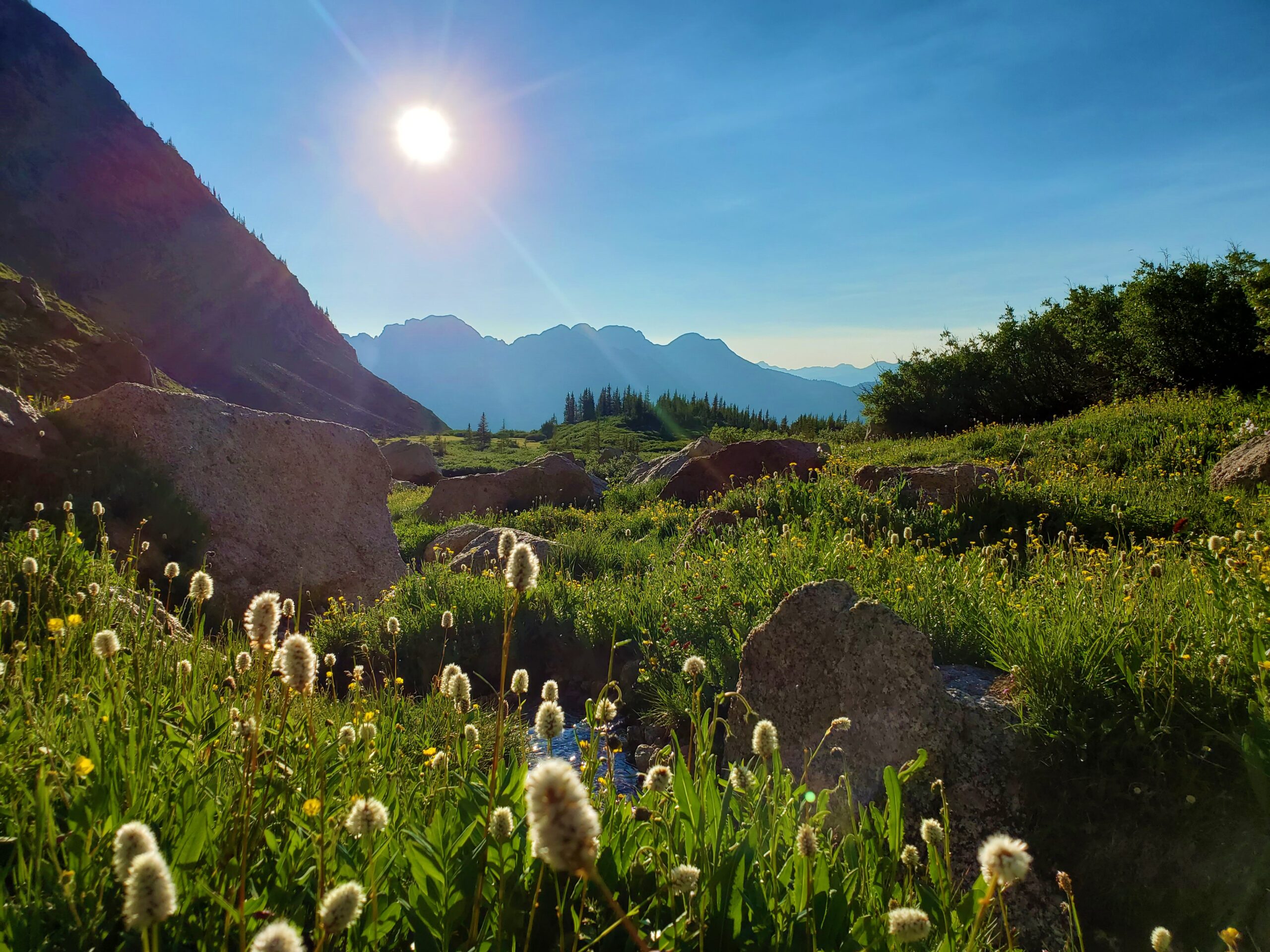 I was glad for my decision. Arriving back at camp at 7:15pm, I had ample time to enjoy my yellow curry Mountain House meal, make friends with some of the curious local marmots, and enjoy the beautiful sunset in this pristine wilderness setting.
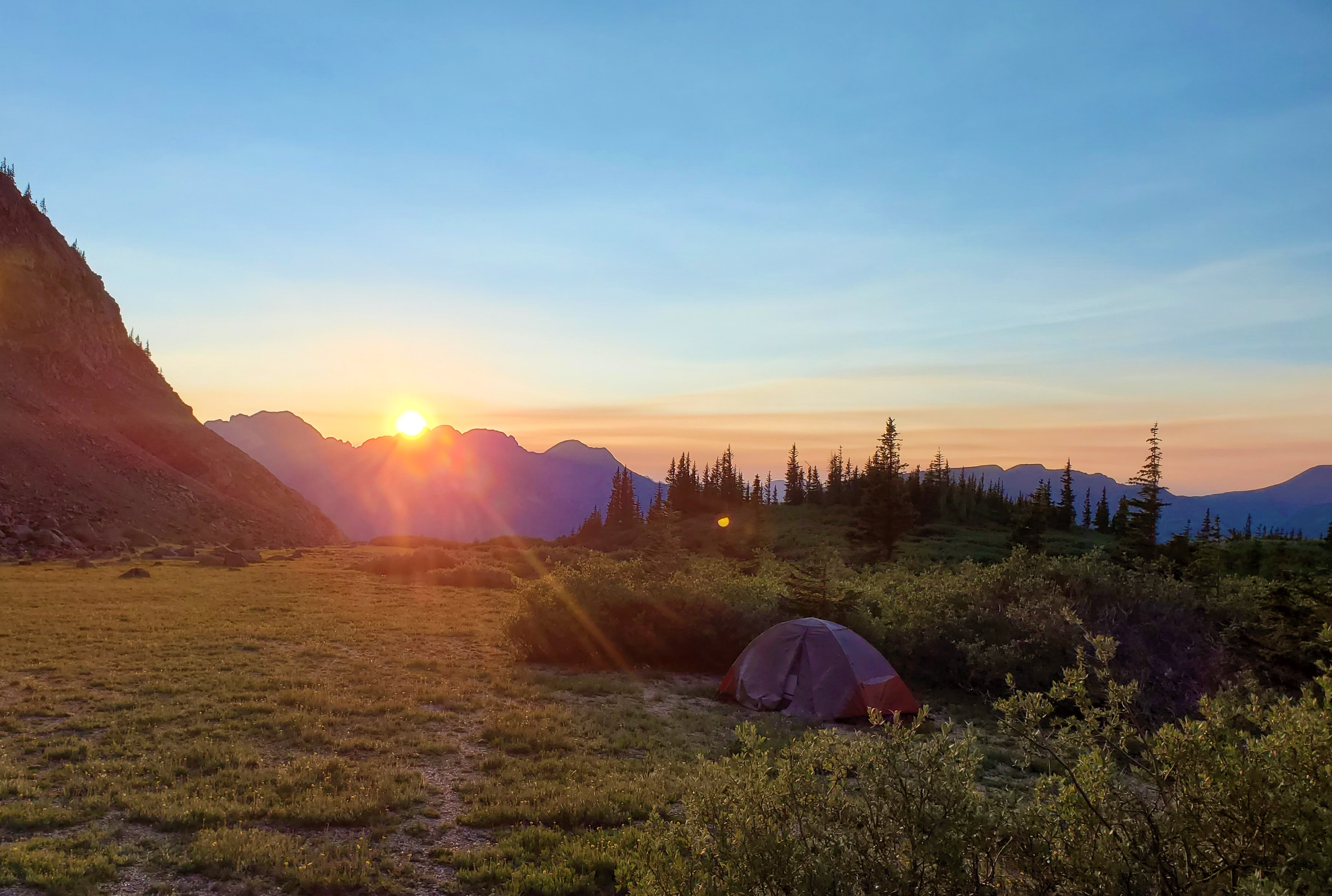
Wind assaulted my tent most of the night, so despite a relatively sleepless night I was at least relieved to wake up to a calm and cold morning. I began my hike upward at 5:30, easily cruising up grass slopes for the beginning of the hike, as I did yesterday. The next section, the hardest of the day, slowed me down significantly. This was the rubble mess from 12,300 feet, up to the 12,700-foot saddle.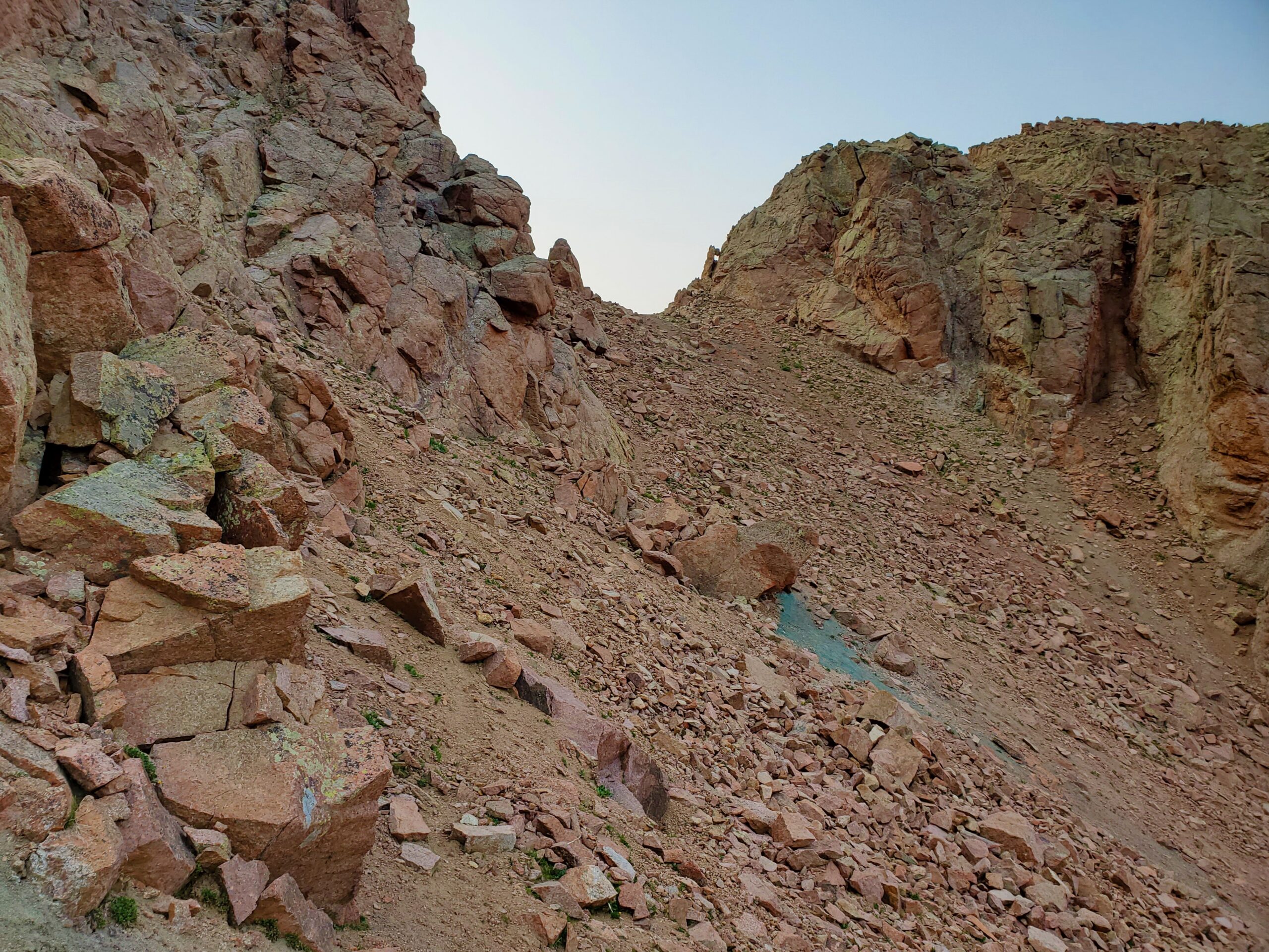 Three steps of suck, one step of solid rock. Repeat. About five hundred times.
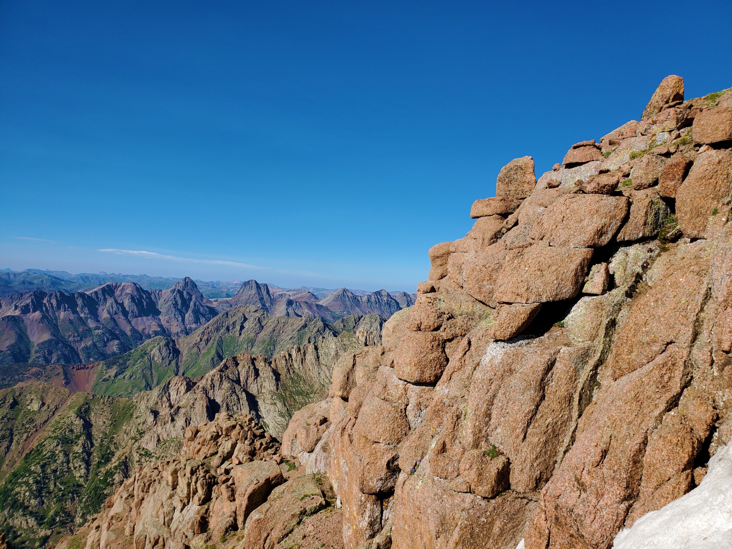
Finally, I was there, and could see steep grass slopes ahead, leading to the final climb. Surprisingly, about five minutes into my traverse from the saddle, I saw another hiker coming down toward me—the first person I’d seen in about twenty hours. He was camped in No Name Basin and was hiking over to climb Pigeon and then Turret, before climbing over Twin Thumbs Pass. This was a much more ambitious agenda than I had for the day, but… been there, done that.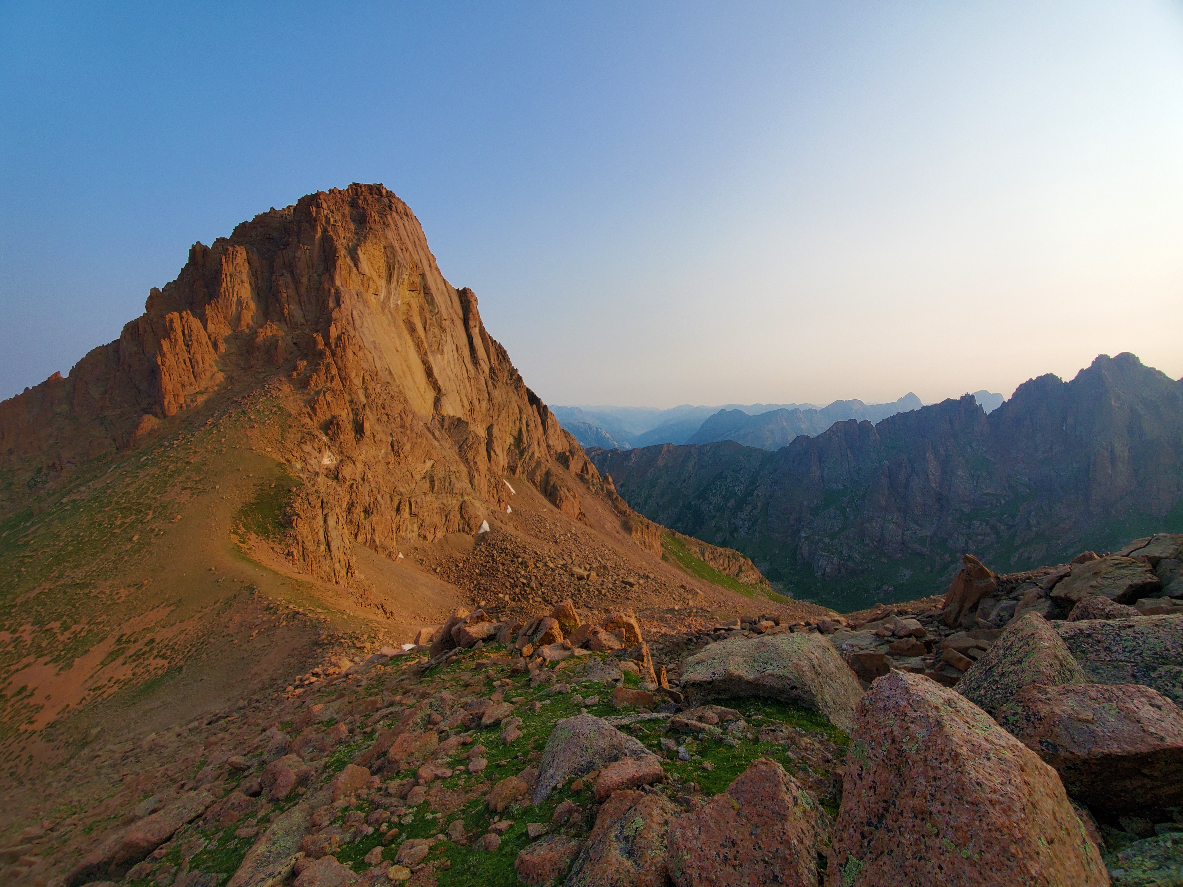 The east face of Pigeon Peak is amazing. I’d seen pictures, but there is nothing like seeing this place in person, especially with the first flakes of morning alpenglow lighting it up. From the Pigeon-Turret saddle, all the way to Turret Peak’s summit, these cliffs dominated the landscape.
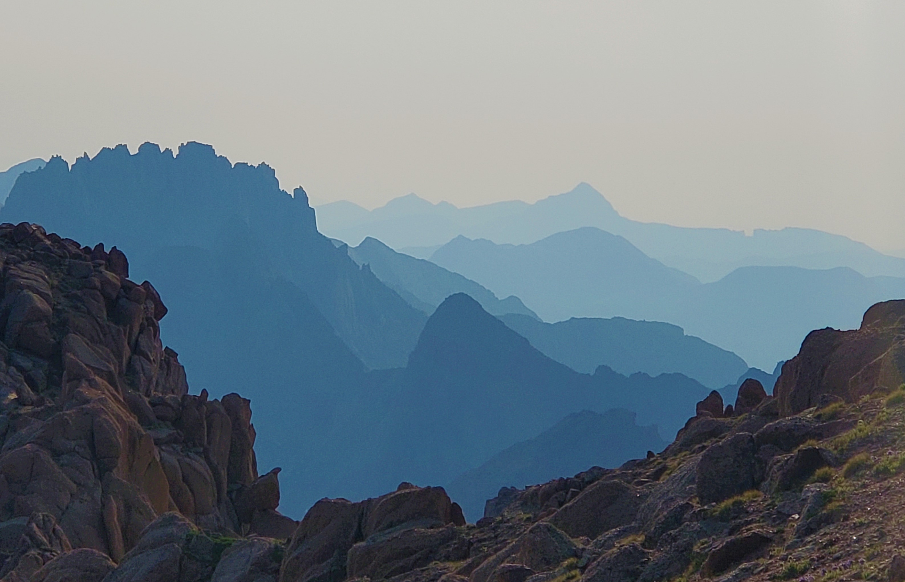
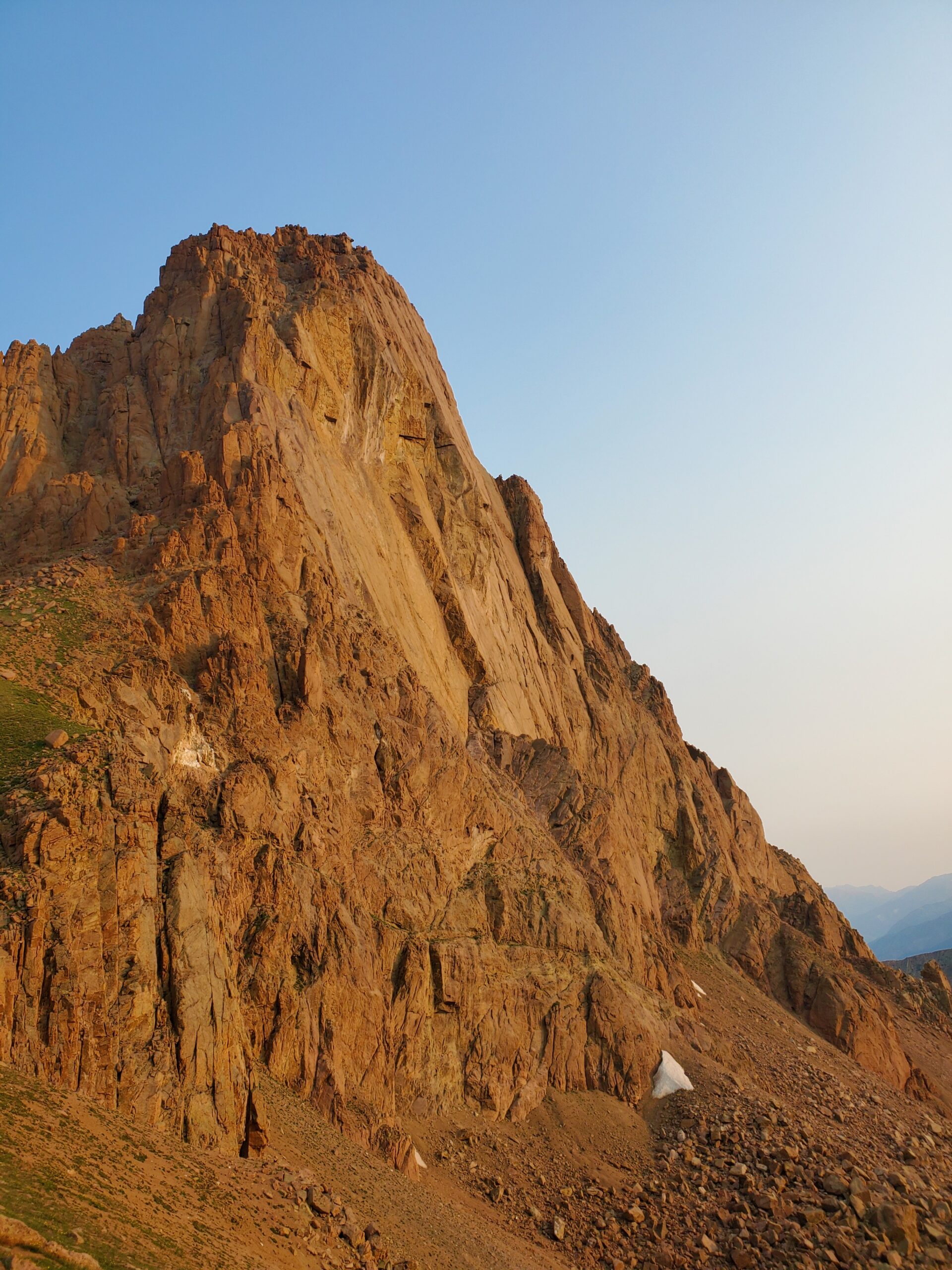 But that wasn’t all: Vestal, Arrow, Jagged, Rio Grande Pyramid and The Window, the rest of The Needles, the fourteeners, and a plethora of other mountains soared around me. Sensory overload!
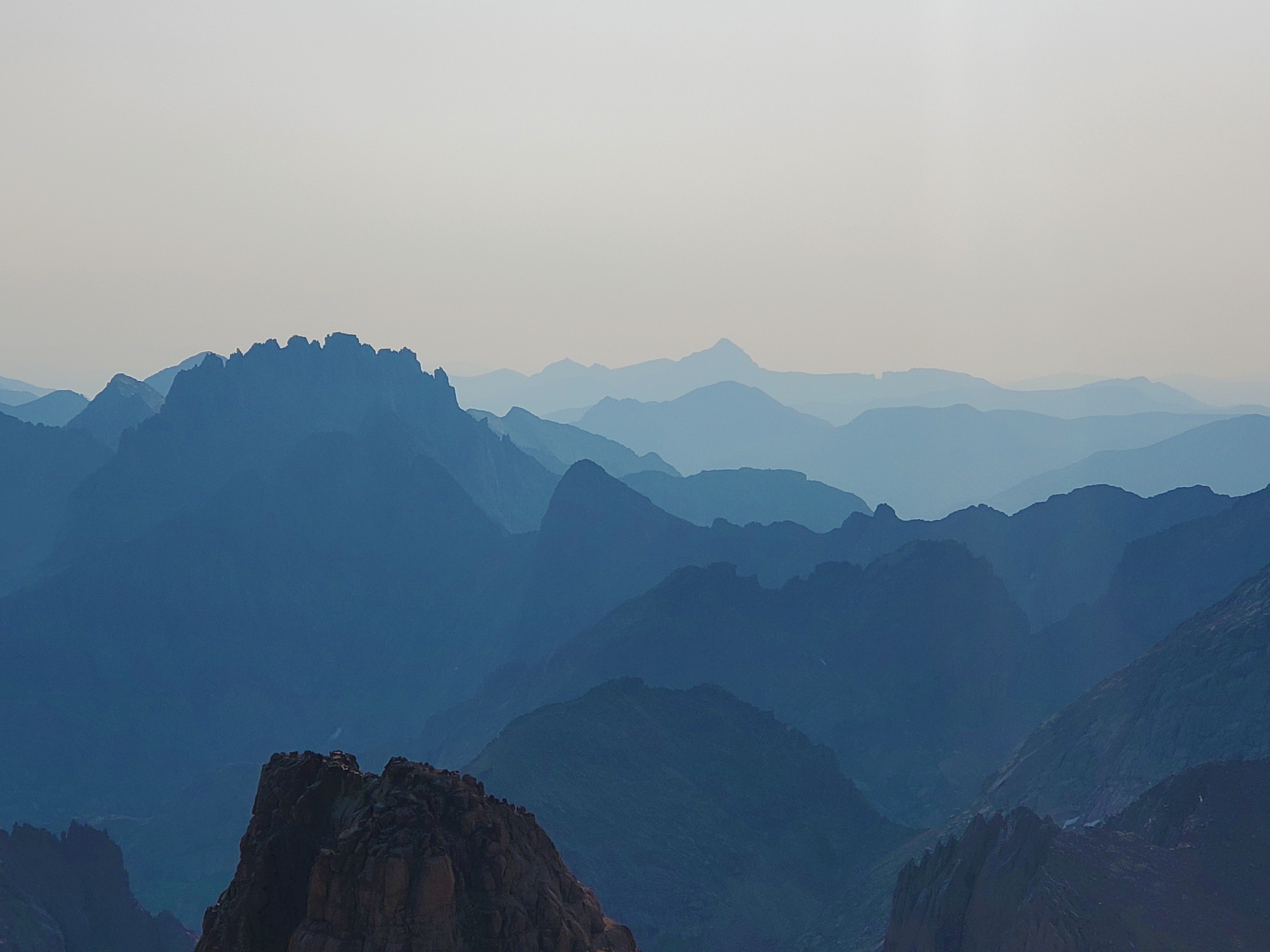 The rest of the hike to the top was an enjoyable scramble over mostly solid rock. I stepped onto the summit right at 8am. The summit register didn’t include many names from the past year, and I recognized most of them. It really is true: most people skip over this mountain, because it’s a couple hundred feet too short. Fine by me.
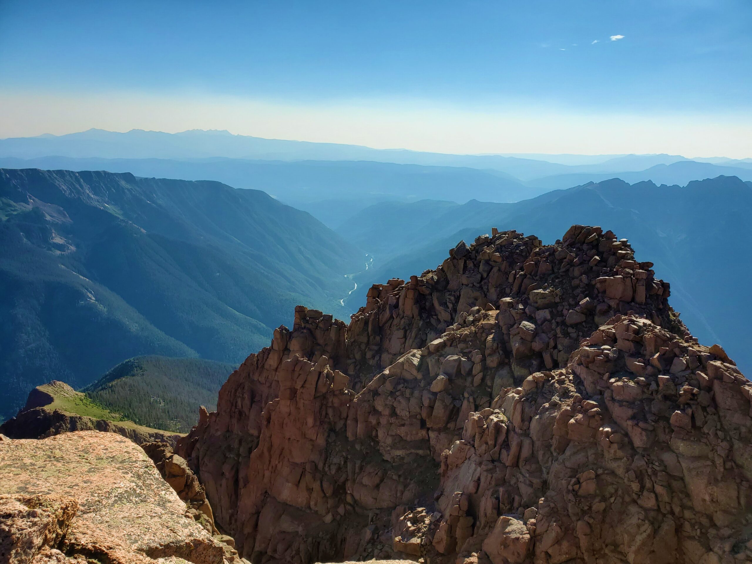
![]()
I took shortcuts and made it back to camp in one hour, plus another half hour to pack everything up. By 9:45am, I was bushwhacking my way back down the upper basin of North Pigeon Creek.
I usually take pride in route-finding, but I was thankful for my GPS track back down, because it did not look the same going downhill as it had going up. I found even more fresh bear sign today, so I was a little bit relieved to be heading back toward civilization.
I took some long stops, breathing in the moments as best I could. Still, I easily made it back to Needleton before train time. At 12:30, I took off my pack and shoes, and plunged my aching feet into the Animas River.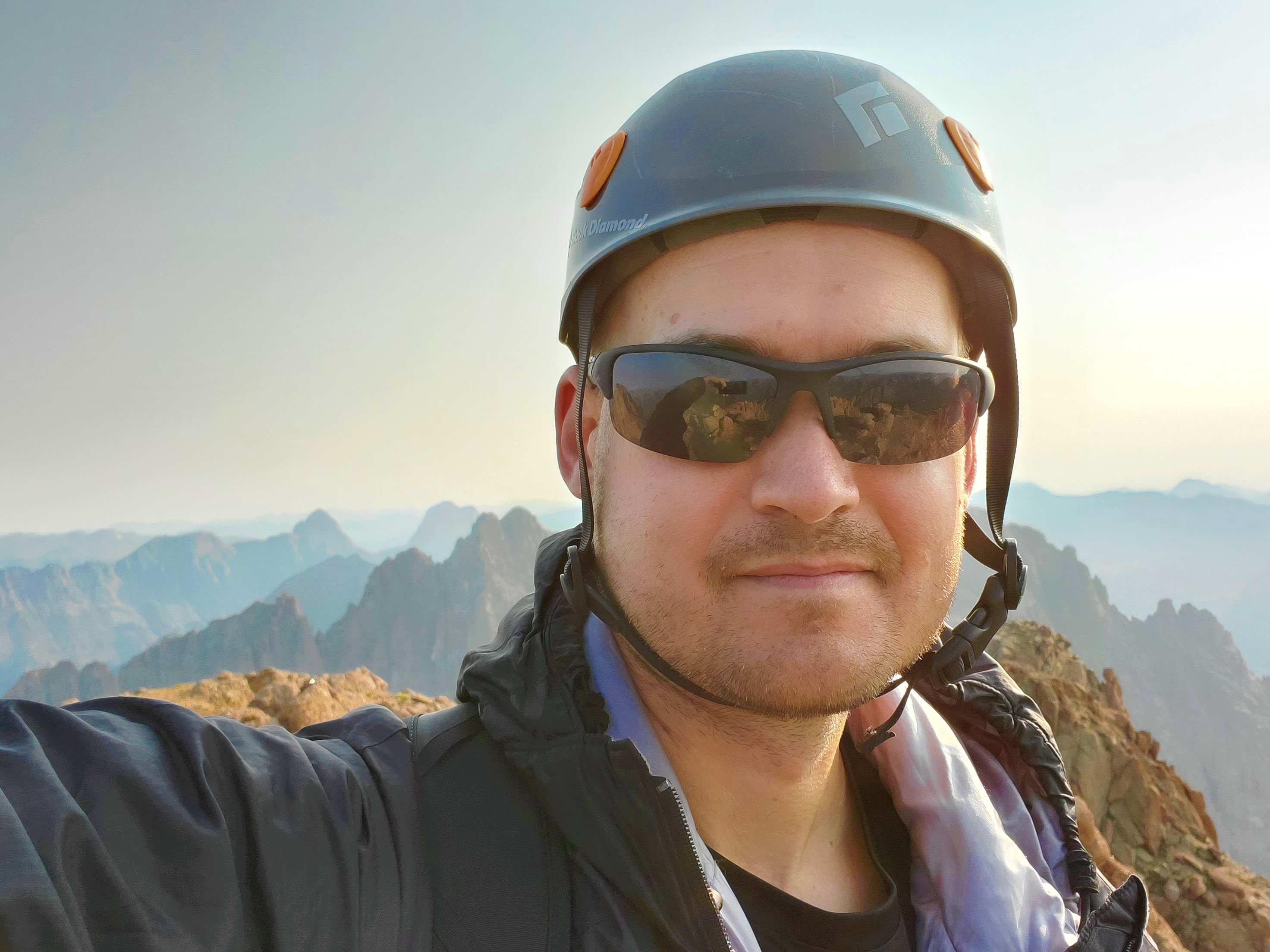 99 down; 1 to go!!!